![]()
Cycling Shirttail Canyon
Ride 9.8 miles gaining 2,535’ at 5% average grade
Climb summary by John Berude.
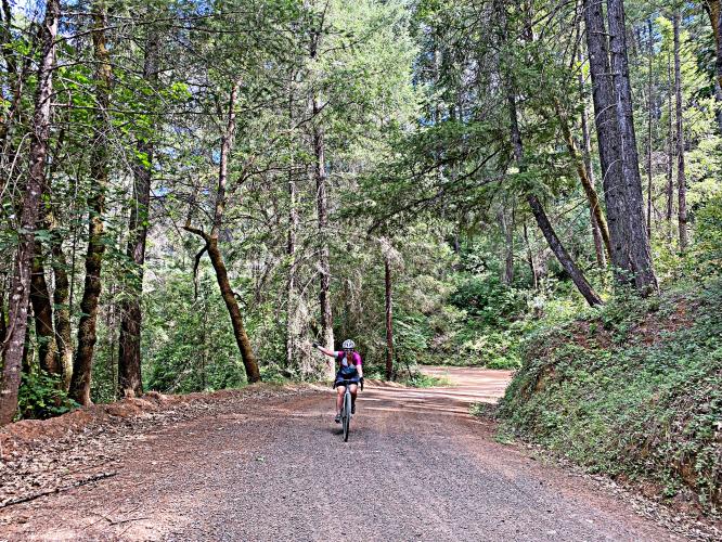
Shirttail Canyon is a magical mixed climb through the Sierra Foothills on high-quality gravel and lonely pavement. The first half of the climb is well-manicured dirt that slowly climbs up and out of the canyon. Once out of the canyon, quiet pavement takes you through lovely forests to the top of the climb.
![]()
No matter how you approach it, you will need to descend gravel on Yankee Jims Rd, either from the north or south. If you come from the south, it is well-worth continuing past the junction with Shirttail Canyon Rd to the bridge over the N Fork American River for the views and good gravel. Makes an excellent loop out of Foresthill if you start on Yankee Jims, and finish by turning right on Iowa Hill Rd (paved) at the top of the climb and then turning right again on Finning Mill Rd (excellent gravel highway through the Foresthill OHV area) and a final right turn on Foresthill Divide Rd.
![]()
Regarding the roadway and ability to do it on a road bike with wider tires (i asked about my Roubaix with 33mm), John writes:
You could definitely ride Shirttail on your setup. I'd call it "driveway" gravel... smooth, consistent, and highly enjoyable! Not sure what the gravel descent from Foresthill looks like relative to Shirttail, but I assume its nearly as good. I've included my recommended loop (https://www.strava.com/routes/2708513137114817868 ). Well worth dropping down to the river as a little out and back. Finning Mill Rd is a great gravel highway to link back to Foresthill. The whole route is probably 50% dirt. When I did it, I made the loop bigger by crossing the river farther west, but the descent/climb to/from the river is fairly unenjoyable poor dirt so I wouldn't do it again.

 We've partnered with Sherpa-Map.com to bring you the best route planning tool. With a PRO Membership you can use this climb as a reference when creating your route.

