15.4
PDI
9.4 mi
DISTANCE
2,811 ft
GAINED
5.6 %
AVG. GRADE
FULL CLIMB STATS
Page Contributor(s): Bryant Robbins and Jill Aho, Palmer, AK, USA, Ard Oostra, Switzerland
INTRO
Praděd is the highest mountain in Moravia and Silesia, and the road to its 1491 m (4892 ft) summit is the highest paved road in Czechia. From the north it starts gently and saves the work for the middle. Our route rides 15.1 km (9.4 mi) from Ludvíkov, gaining 857 m (2811 ft) at 5.6%, and above the Hvězda crossroads the road is closed to private cars - you share it with the shuttle bus, the odd hotel guest and a lot of walkers.
The first 6 km follow road 445 up the valley at 3-4%, through Karlova Studánka, a spa town of old timbered houses that claims the cleanest air in the country. At Hvězda (km 6.1) you turn onto the mountain road and it changes character: 5.4 km at about 8% through the forest to Ovčárna, a cluster of mountain hotels and ski lifts at around 1300 m. The last 3.5 km to the top ease back to 5-6% on a wide road over open ground.
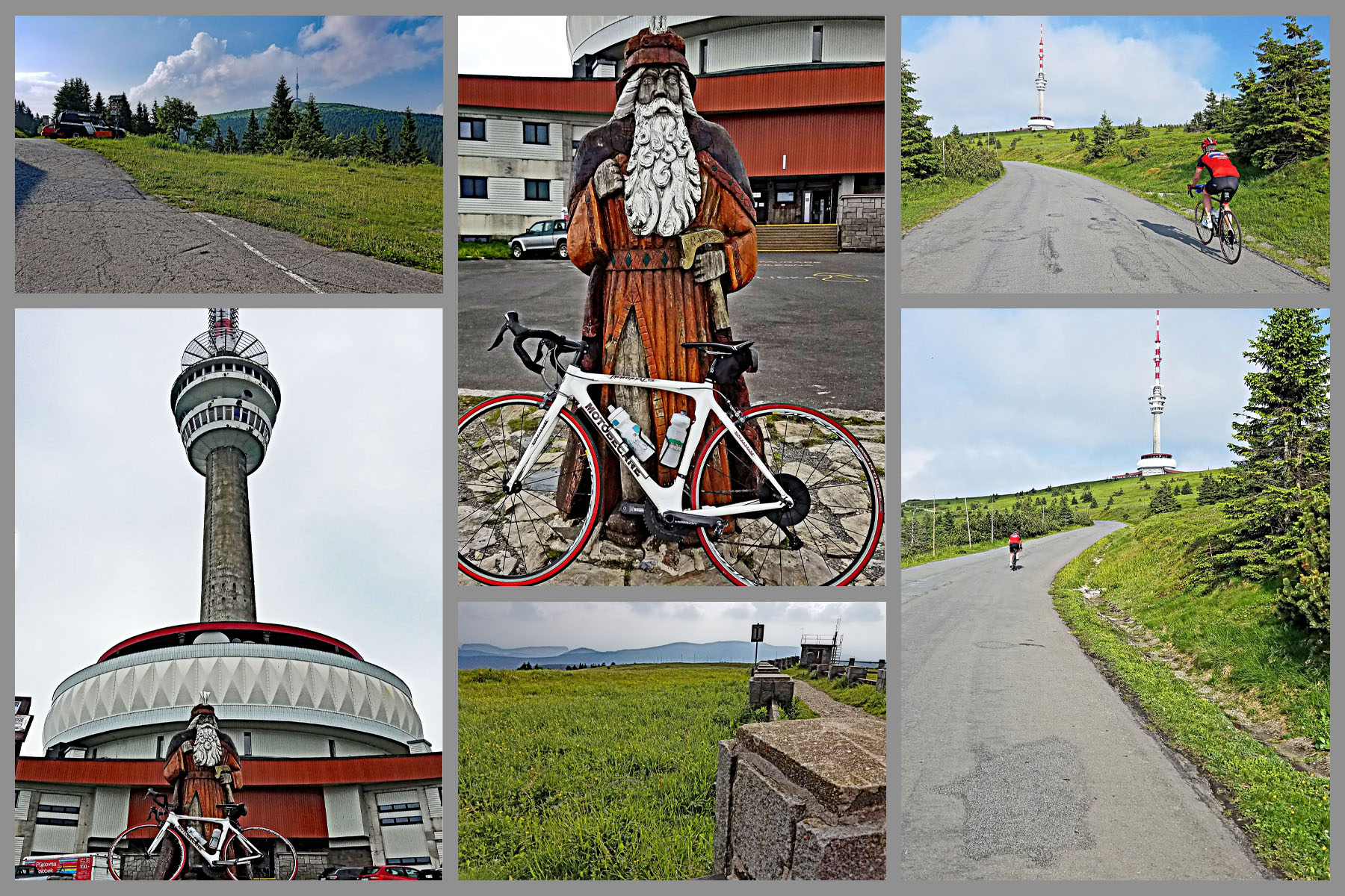
The tower on the summit is a TV transmitter with a hotel, a lift to a viewing terrace 71 m up and a restaurant billed as the highest in Moravia, so there's a reason to sit down before you turn round. The descent is quick, but the top section is full of walkers and people coming down on rental kick scooters - take it easy until you're back below Ovčárna.
PLAN YOUR ROUTE
 We've partnered with Sherpa-Map.com to bring you the best route planning tool. With a PRO Membership you can use this climb as a reference when creating your route.
From Ludvíkov to the Hvězda crossroads (km 0-6.1, 3.8 mi) road 445 rises at 3-4.5% through Karlova Studánka, with one 5.7% kilometer just before the turn.
Hvězda to Ovčárna (km 6.1-11.5) is the real climb: five kilometers in a row between 7.6% and 8.1%, with the steepest kilometer of the route at 8.4%. The grade barely changes, so find a rhythm early and hold it.
From Ovčárna the last 3.5 km (2.2 mi) to the summit drop back to 5-6%, with a short kick at the very end below the tower. Overall: 15.1 km (9.4 mi), 857 m (2811 ft) of gain, 5.6% average.
Roadway: Tarmac from Ludvíkov to the tower. Road 445 through Karlova Studánka is an ordinary two-lane valley road. At Hvězda a barrier stops private cars, and above it the mountain road to Ovčárna and the summit carries the shuttle buses, hotel and service vehicles, walkers and bikes. Reports on the surface of the upper road range from smooth to badly patched, so watch it on the descent. In winter Ovčárna is a ski area and the road above Hvězda is snowbound - plan this for late spring to autumn.
Traffic: Moderate on road 445 through the spa town, light above Hvězda. Shuttle buses run from Hvězda to Ovčárna, and on the summit road they go up on the hour and down on the half hour. On summer weekends expect crowds of walkers and kick-scooter riders on the final 3.5 km.
Parking: Ludvíkov has no dedicated car park for riders, so park considerately in the village. If you'd rather skip the valley, the paid car park at Hvězda - where the barrier stops cars - puts you at the foot of the steep part.
Gear: A compact crankset is plenty; nothing on the climb goes much past 8%. The summit is high and exposed and can be far colder and windier than Ludvíkov, so carry a jacket for the way down - our Weather tool shows what the summit is doing while you're still in the valley.
Provisions: Karlova Studánka has restaurants and cafés, and there's a restaurant and a buffet at Hvězda. The mountain hotels at Ovčárna serve food, and the restaurant in the summit tower is the last stop.
Before heading out on any cycling adventure check out our Things to Bring on a Cycling Trip and use our interactive check list to ensure you don't forget anything.
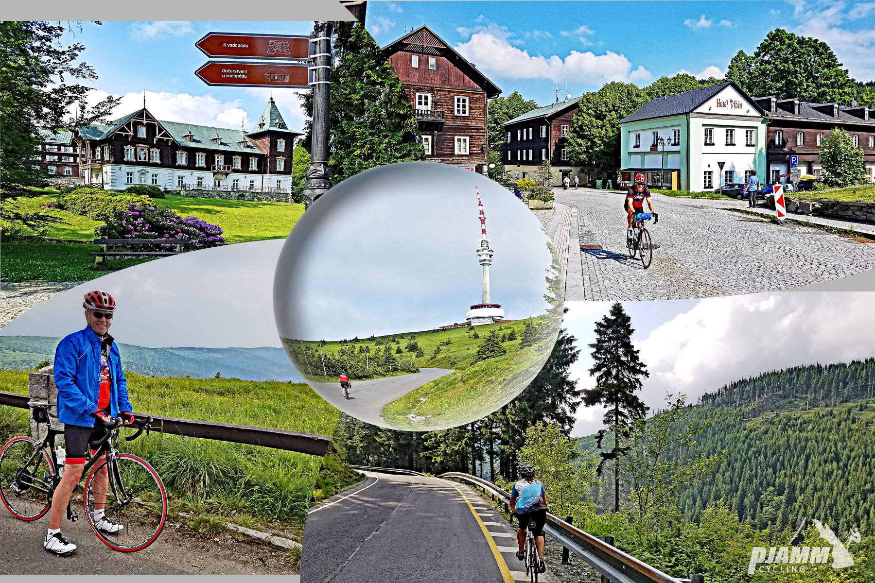
Karlova Studánka deserves a slow roll on the way through, or a stop on the way back. Its wooden drinking pavilion from 1895 houses the Vilém spring, the spa park has a 20 m (66 ft) waterfall built in the 19th century, and the spa itself has a thermal pool if your legs want one. For a rest-day walk, the trail up the gorge of the Bílá Opava, with its chain of waterfalls, is one of the best-known hikes in the Jeseníky.
Praděd sits in the Jeseníky Protected Landscape Area, with a nature reserve around the summit, so stick to the road and marked paths at the top. The southern approach from Malá Morávka is on our Praded South page if you want to ride the mountain from both sides.
ROUTE MAP

MEMBER RATING
CURRENT WEATHER
PJAMM TRIPS ADVENTURE STARTER BUNDLES
Check out PJAMM Adventure's prepackaged (self-guided) cycling trips. They will help you plan, document and conquer your next adventure.
NEARBY CLIMBS (0) RADIAL PROXIMITY
FROM No Climbs Found
MEMBER REVIEWS & COMMENTS
Let us know what you thought of this climb. Signup for our FREE membership to write a review or post a comment.
Already have an account?
LOG IN HERE