23.8
PDI
20.8 mi
DISTANCE
4,840 ft
GAINED
4.4 %
AVG. GRADE
FULL CLIMB STATS
Page Contributor(s): Bruce Hamilton/Stacy Topping
INTRO
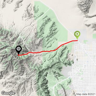
Kyle Canyon (State Route 157, the road to Mt. Charleston) climbs 20.8 miles from US 95 north of Las Vegas to the Mt. Charleston Resort, gaining 4,840 feet at a 4.4% average grade from 2,821 feet in the Mojave Desert to 7,632 feet in the Spring Mountains. By our rankings it is #90 in the US and #665 in the world, and it is one of four US Top 100 climbs that begin just north of Las Vegas.
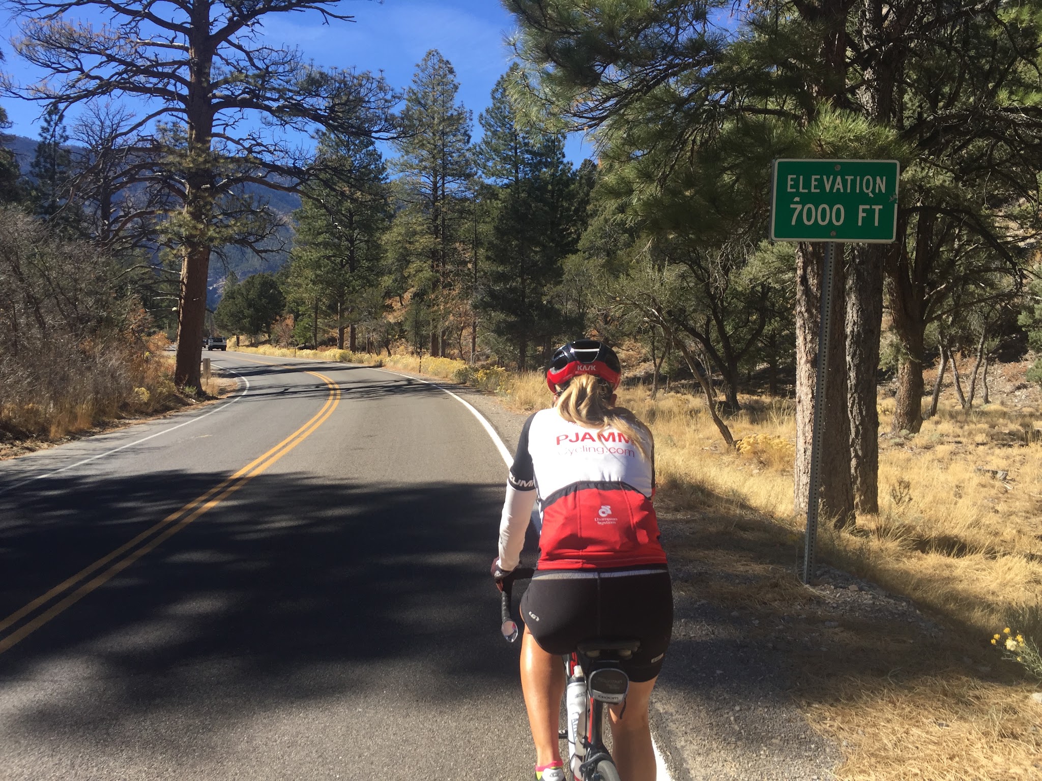
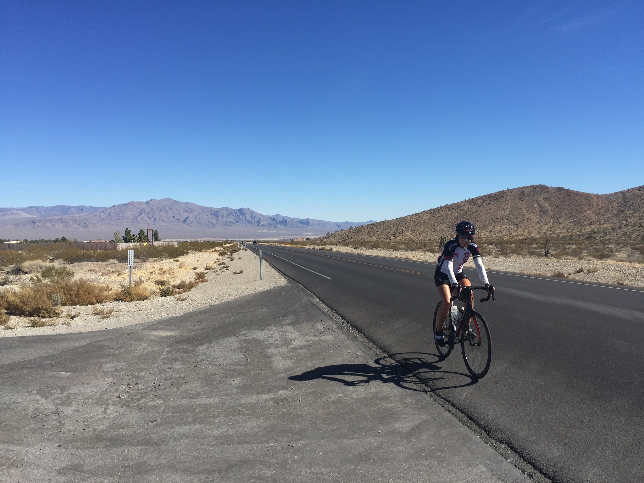
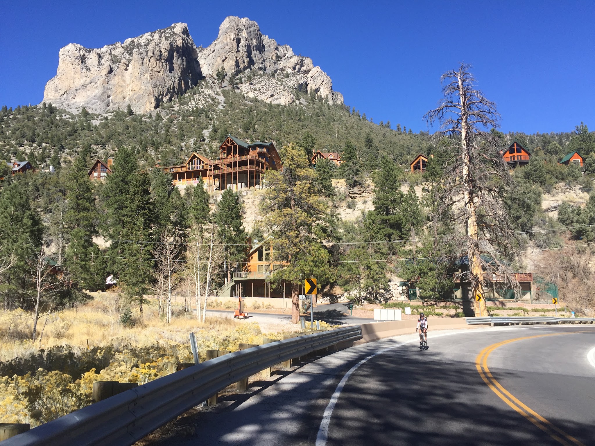
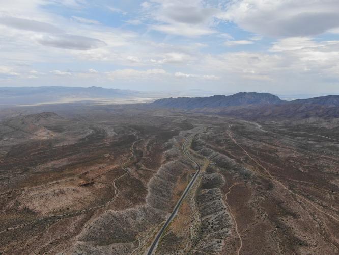
The climb changes character as it goes. The lower miles are open, exposed and straight, with a long, steady grade and desert heat, and riders say the scenery saves itself for the upper miles, where the road enters the pines with views of massive Mt. Charleston. Traffic is mild to moderate and moves at highway speeds, and Las Vegas wind is common - one rider reported headwinds on both the way up and the way down.
SR 157 was closed for nearly two months after Tropical Storm Hilary damaged it in August 2023 and reopened in late October 2023 after emergency repairs. The western stretch of the highway is also a designated Nevada Scenic Byway.
"Kyle Canyon (Route 157 or the road to Mount Charleston) is a long and scenic climb into the Spring Mountains north of Las Vegas. From the junction of Routes 95 and 157, head west up 157. Quite exposed down low, at its start the grade is moderate/shallow and steady and after a few miles you make a gradual turn to the left and head straight for the mountains ahead, the grade gradually increasing...Eventually the grade eases and you encounter a fairly short descent. Climbing soon resumes over shallow grade as you approach the junction with Route 158 on your right. Continue straight ahead on Route 157 as signs of civilization begin to appear along with scenic views of massive Mount Charleston..." (This quote is presented with the approval of John Summerson, from his book, The Complete Guide to Climbing (by Bike), 2nd Edition, pg. 198.)
PLAN YOUR ROUTE
 We've partnered with Sherpa-Map.com to bring you the best route planning tool. With a PRO Membership you can use this climb as a reference when creating your route.
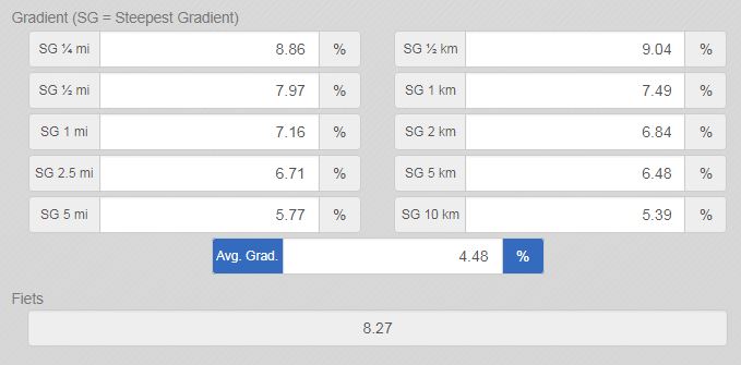
 Kyle Canyon averages 4.4% over 20.8 miles, gaining 4,840 feet from 2,821 feet at US 95 to 7,632 feet. The grade is very consistent: the first 10 miles average about 3.9%, and the final 10.8 miles about 4.9%.
The steepest quarter-mile is 7.7% and the steepest mile 7.0%, and the steepest 5 miles average 5.8%. This is a long, steady grind in desert heat rather than a climb with a hard crux.
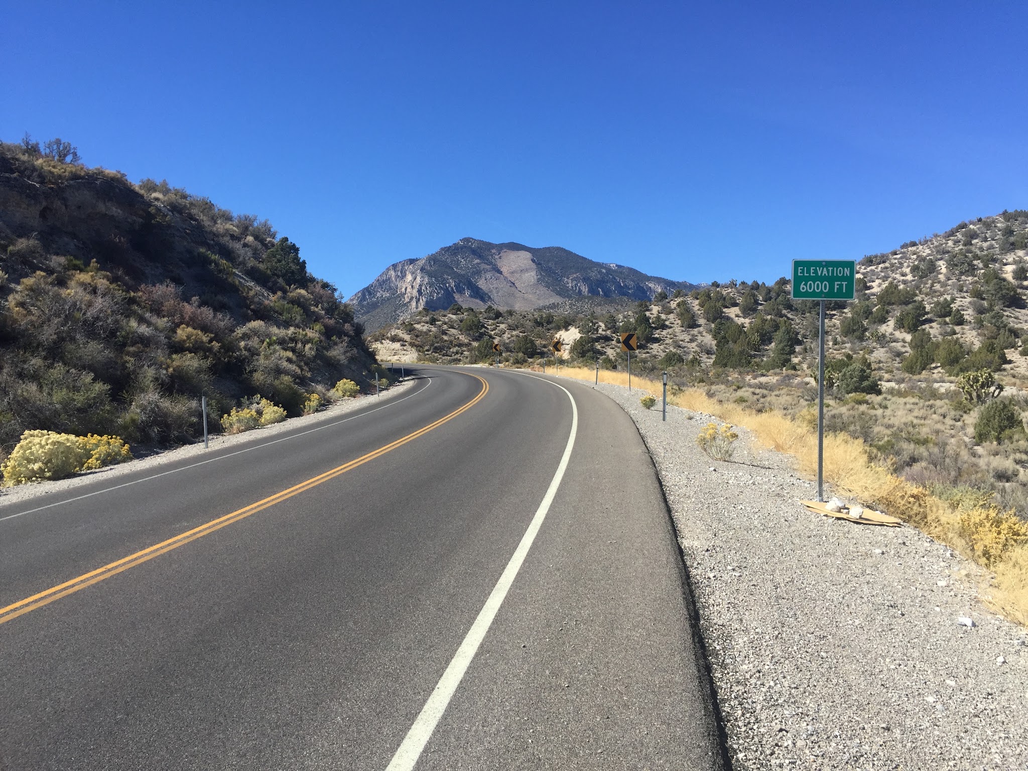
Roadway: SR 157 is paved and in excellent condition, with a shoulder on the lower and busier half of the climb. Higher up the shoulders are generally adequate but narrow to little more than the fog line in places. Sections of the highway were rebuilt after the 2023 storm damage, and a rider reported construction near the start in September 2024 that forced a detour around closed roads, so check Nevada road conditions before you go.
Traffic: Mild to moderate and traveling at highway speeds - this is not a climb for highway traffic averse cyclists. One rider counted about 160 cars passing over a full round trip and found nearly all of them courteous.
Parking: Near the climb start - Map; Street View.
Provisions: None on the lower part of the route. Riders report that the visitor center around mile 18 is a good place to refill bottles and use the restroom, and the Resort on Mount Charleston near the finish has a restaurant and a chalet-style bar. The historic Mt. Charleston Lodge burned in 2021 and is being rebuilt, so don't count on it.
Weather: This climb starts in the Mojave Desert, where the average high for June-August is 99-104 degrees, and finishes about 4,800 feet higher, so temperatures at the top can be dramatically different. Check our Weather tool for conditions at both the start and the finish to decide what clothing to bring.
Before heading out on any cycling adventure check out our Things to Bring on a Cycling Trip and use our interactive check list to ensure you don't forget anything.
There are four climbs that can be included in this trip: turn right onto Highway 158 at mile 17.3 for the Kyle Canyon + Highway 158 (four miles at 6.1% to the finish), and consider doing the climbs on Lee Canyon and Lee Canyon + Highway 158 on the same day or at some time during your trip to the area - I did them on the same day in the heat and, well, that was a mistake . . .
See Routes in Area to assess all four climbs.
We stayed in Las Vegas when we did these climbs and drove the 18 miles from Vegas to this climb for our long riding day. While there is certainly no shortage of hotels in Vegas, if you'd rather, you can also stay in a vacation home rental. For a bed at the top, the Resort on Mount Charleston sits right at the finish.
ROUTE MAP
MEMBER RATING
CURRENT WEATHER
PJAMM TRIPS ADVENTURE STARTER BUNDLES
Check out PJAMM Adventure's prepackaged (self-guided) cycling trips. They will help you plan, document and conquer your next adventure.
NEARBY CLIMBS (0) RADIAL PROXIMITY
FROM No Climbs Found
MEMBER REVIEWS & COMMENTS
Let us know what you thought of this climb. Signup for our FREE membership to write a review or post a comment.
Already have an account?
LOG IN HERE
KaktusJaque


This ride is decent, but it's no Mt. Lemmon (Tucson, AZ). The first 15 miles are pretty uninspiring, but the scenery improves slightly after that with a few good lookout points offering views over the valley. Around mile 18 on Kyle Canyon Rd, there's a nice Visitor Center—perfect for refilling water bottles and taking a restroom break. You can also chat with the rangers there. As is typical for Vegas, it was windy. I faced a headwind both on the way up and, frustratingly, the winds shifted and I had headwinds on the way down. About 160 cars passed me, going up and down. Most all were courteous. In most cases, the shoulders are adequate for cyclists, i.e. 3' to 6' in some places, just the line, but not common. NOTE: Be aware that as of September 2024, there’s a lot of construction near the start, and I had to reroute around closed roads.
trier1992
Good ride worth doing. Not the best scenery until the very end when you're up at the resort. Traffic generally isn't so bad, and the road is smooth.