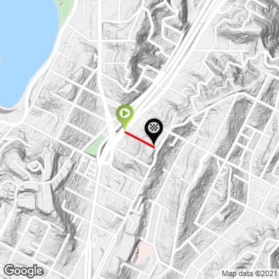
2.9
PDI
0.1 mi
DISTANCE
162 ft
GAINED
27 %
AVG. GRADE
FULL CLIMB STATS
Page Contributor(s): Monica Busby @thecyclingceo
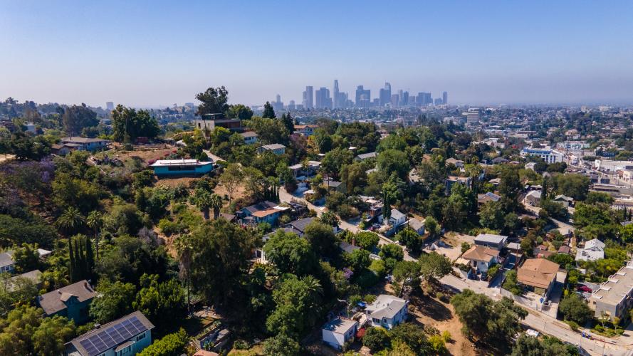
INTRO
At 0.12 miles and 27% average gradient, Fargo Street is the longest of the "Ultra-steeps," making it the hardest at 1.3 fiets.
The actual average gradient is disputed. Doing an internet search on any of these "Ultra-Steep" roads will give you numbers ranging anywhere from 25% to 40%. We've calculated the gradient based on internet topographical data, as well as from our Garmin and Wahoo .gpx files taken from our personal attempts up this climb. Our calculations show this road is a 26.98% average gradient.
Google's advanced topographical database shows the peak gradient of this road to be 54.4%.
PLAN YOUR ROUTE
The actual average gradient is disputed. Doing an internet search on any of these "Ultra-steep" roads will to yield a myriad of results, from 25% to 40%. Our metrics show this road at a 26.98% average gradient.
Google's advanced topographical database shows the peak gradient of this road to be 54.4%.
Traffic:
Light, but one-way going downhill. A police car passed us while we were climbing and gave us a thumbs-up in encouragement.
Parking:
Free street parking can be found all over the neighborhood. The best thing to do is to park somewhere where you can access multiple climbs - all the streets in this area are worth attempting on your bike.
Information Not Available
If you have any information regarding this climb, we'd like to hear from you. Click the CONTRIBUTE button to share your thoughts with us.
Before heading out on any cycling adventure check out our Things to Bring on a Cycling Trip and use our interactive check list to ensure you don't forget anything.
Information Not Available
If you have any information regarding this climb, we'd like to hear from you. Click the CONTRIBUTE button to share your thoughts with us.
ROUTE MAP
MEMBER RATING
CURRENT WEATHER
PJAMM TRIPS ADVENTURE STARTER BUNDLES
Check out PJAMM Adventure's prepackaged (self-guided) cycling trips. They will help you plan, document and conquer your next adventure.
NEARBY CLIMBS (0) RADIAL PROXIMITY
FROM No Climbs Found
MEMBER REVIEWS & COMMENTS
Let us know what you thought of this climb. Signup for our FREE membership to write a review or post a comment.
Already have an account?
LOG IN HERE