Jack's Gap South Bike Climb - PJAMM Cycling

4.1
PDI
4.1 mi
DISTANCE
943 ft
GAINED
3.9 %
AVG. GRADE

FULL CLIMB STATS

INTRO

This 4.1 mile bike climb is located in GA, USA. The average gradient is 3.9% and there is a total elevation gain of 943 ft, finishing at 2,940 ft.

Use the profile tool, route map, and weather forecast to conquer this cycling climb.

PLAN YOUR ROUTE

We've partnered with Sherpa-Map.com to bring you the best route planning tool. With a PRO Membership you can use this climb as a reference when creating your route.

See more details and tools regarding this climb's grade via our interactive Profile Tool.
Information Not Available

If you have any information regarding this climb, we'd like to hear from you. Click the CONTRIBUTE button to share your thoughts with us.

Information Not Available

If you have any information regarding this climb, we'd like to hear from you. Click the CONTRIBUTE button to share your thoughts with us.

Before heading out on any cycling adventure check out our Things to Bring on a Cycling Trip and use our interactive check list to ensure you don't forget anything.
Information Not Available

If you have any information regarding this climb, we'd like to hear from you. Click the CONTRIBUTE button to share your thoughts with us.

ROUTE MAP

MEMBER RATING

Not Yet Rated
-
Road
-
Traffic
-
Scenery

CURRENT WEATHER

PJAMM TRIPS ADVENTURE STARTER BUNDLES

Check out PJAMM Adventure's prepackaged (self-guided) cycling trips. They will help you plan, document and conquer your next adventure.
ALL TRIPS
Browse all of our prepackaged trips and find your next adventure!
Smoky Mountain National Park
United States (NC,TN)
17 ROUTES
31 POIs
ROUTE STATS (TOTAL)
181.8
mi
DISTANCE
34,253
ft
ELEV. GAIN

NEARBY CLIMBS (0) RADIAL PROXIMITY

FROM
No Climbs Found

MEMBER REVIEWS & COMMENTS

Let us know what you thought of this climb. Signup for our FREE membership to write a review or post a comment.
Already have an account?
ROUTE MAP
PROFILE TOOL
Route Data
S.G. (%)
hide
Segment Data
hide
CLIMB SUMMARY

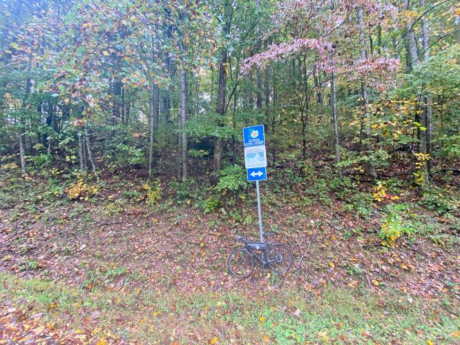
Cycling Jacks Gap South, Georgia - bike parked on roadside against signs for 180

Cycling Jacks Gap South, Georgia

Ride 4.1 miles gaining 944’ at 4% average grade.

This gap is made popular by its inclusion in the Six Gap Century.  Also give strong consideration to turning left at the top and riding to the Brasstown Bald parking lot, then hiking 0.6 miles to the highest point in Georgia (Brasstown Bald Climb Page).  

Cycling Jacks Gap South, Georgia - Garmin device reading 12% grade, wet, slick roadways, sign for Georgia Scenic Byway

There are a couple sets of rollers in the middle of the climb.  The steepest quarter-mile is near the beginning and averages 10%.  The toughest extended segment is the last mile to the finish which averages 7.2%.  

Cycling Jacks Gap South, Georgia - PJAMM Adventure App shows climb grade and overview

PJAMM Adventure App showing climb details.

Cycling Jacks Gap South, Georgia - climb finish at Brasstown Bald Visitor Center

Finish at the start of the Brasstown Bald climb.

Roadway Surface and Traffic Report:  The roadway is excellent and traffic is mild on this segment.

Jacks Gap is one of the gaps included in  the 103.8 mile/11,230 vertical feet Six Gap Century (including Neels Gap, Hogpen Gap, Unicoi Gap, Jack’s Gap, Wolfpen Gap, and Woody Gap).  A route map of the Six Gap Century can be found here.

That’s a wrap!