![]()
Cycling Skiff Mountain Road
Ride 3.9 miles gaining 965’ at 4.6% average grade
![]()
Climb start.
“Another contender for the most difficult climb in Connecticut, Skiff Mountain Road is an additional fairly short and stout test in the western part of the state. From climb start, the road dives into the woods over gradually increasing grade. Soon you are riding over stout grade on the dark road, including the climb maximum. From this point the slope generally eases the further you ride to the east. At mile 1.7, you pass Fuller Mountain Road on the left. Keep straight here for a very short distance and the listed climb ends as the route flattens on top.” (This quote is provided with the approval of John Summerson from his book, The Complete Guide to Climbing (by Bike) in the Northeast, pg. 62.)
Climb summary by PJAMM ambassador Dan Razum.
The climb starts at the intersection with River Road. If you go along River Road it will take you to trailhead parking for the Appalachian Trail. The trail itself does cross Skiff Mountain Road a little further up but the crossing is unmarked.
![]()
Path to Appalachian Trail
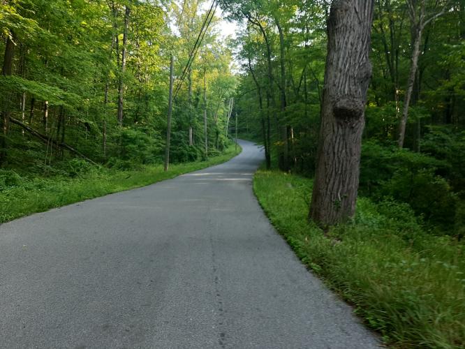
The steepest section of the climb is near the beginning, hitting double digit gradient in a thick forest for a half mile or so. The road is narrow, with no markings or shoulder, but the pavement is in good condition and there isn't much traffic so it's not a concern.
![]()
After the steep beginning the slope gradually flattens out as we climb higher and the second half is quite moderate.
![]()
After starting in a thick forest we leave the forest behind about halfway up the climb. Eventually we come to the intersection of Skiff Mt Road and ... Skiff Mt Road. The naming convention of roads in this area isn't quite clear to us, but regardless, we continue straight, we don't turn right.
![]()
Intersection of Skiff and . . . Skiff . . . .
About a mile after the intersection is the top of the climb, it is unmarked but discernible as the point where the road starts gently sloping downhill.
![]()
Unmarked finish.

 We've partnered with Sherpa-Map.com to bring you the best route planning tool. With a PRO Membership you can use this climb as a reference when creating your route.

