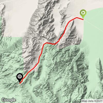
24.1
PDI
15.1 mi
DISTANCE
4,326 ft
GAINED
5.3 %
AVG. GRADE
FULL CLIMB STATS
Page Contributor(s): Dan Razum, Campbell, CA, USA
INTRO
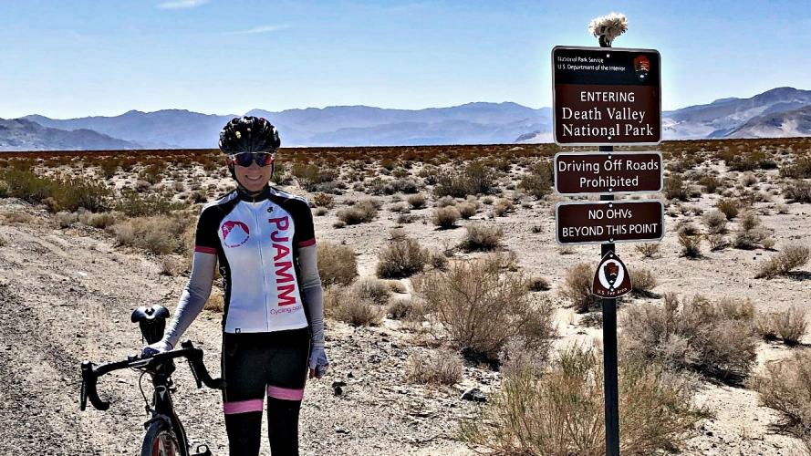
Death Valley Road is at the northern tip of Death Valley National Park and on some maps is referred to as "Big Pine Road" which passes through several points with distinctly Death Valley nomenclature on its way to the start which begins at Scotty's Castle. This is the northernmost of the 10 Death Valley climbs on our index.
"This isolated climb along the east side of Death Valley Road is very interesting as it has steep ramps, good scenery and almost no traffic, ending at an unmarked but obvious summit. A very isolated beginning in desolate Eureka Valley soon leads to the steepest section of climbing. The grade eases as you exit the canyon and enter4 an unusual desert valley..." (This quote is presented with the approval of John Summerson, from his book, The Complete Guide to Climbing (by Bike) in California, pg. 124.)
PLAN YOUR ROUTE
See more details and tools regarding this climb's grade via our interactive Profile Tool.
Information Not Available
If you have any information regarding this climb, we'd like to hear from you. Click the CONTRIBUTE button to share your thoughts with us.
Information Not Available
If you have any information regarding this climb, we'd like to hear from you. Click the CONTRIBUTE button to share your thoughts with us.
Before heading out on any cycling adventure check out our Things to Bring on a Cycling Trip and use our interactive check list to ensure you don't forget anything.
- Hotels in Bishop
Owens Valley county road status: https://www.inyocounty.us/services/public-works/news/inyo-county-road-openclosed-status
Owens Valley State Highways and roads maintained by CDOT status: https://roads.dot.ca.gov/
ROUTE MAP
MEMBER RATING
CURRENT WEATHER
PJAMM TRIPS ADVENTURE STARTER BUNDLES
Check out PJAMM Adventure's prepackaged (self-guided) cycling trips. They will help you plan, document and conquer your next adventure.
NEARBY CLIMBS (0) RADIAL PROXIMITY
FROM No Climbs Found
MEMBER REVIEWS & COMMENTS
Let us know what you thought of this climb. Signup for our FREE membership to write a review or post a comment.
Already have an account?
LOG IN HERE