22.9
PDI
11 mi
DISTANCE
3,807 ft
GAINED
6.6 %
AVG. GRADE
FULL CLIMB STATS
INTRO
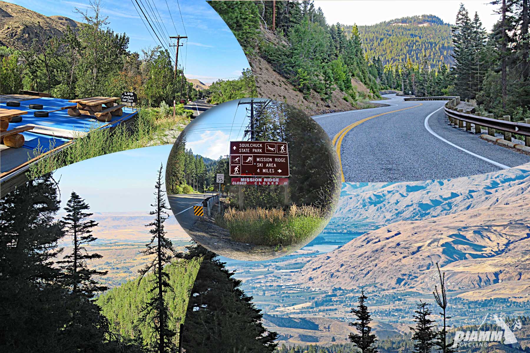
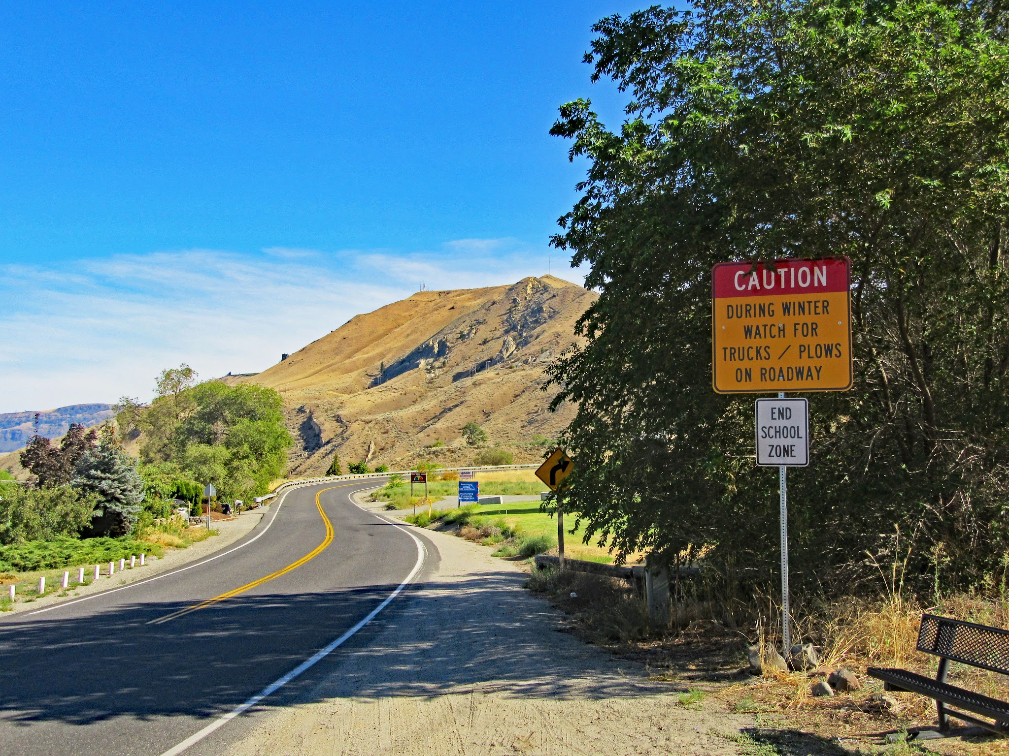
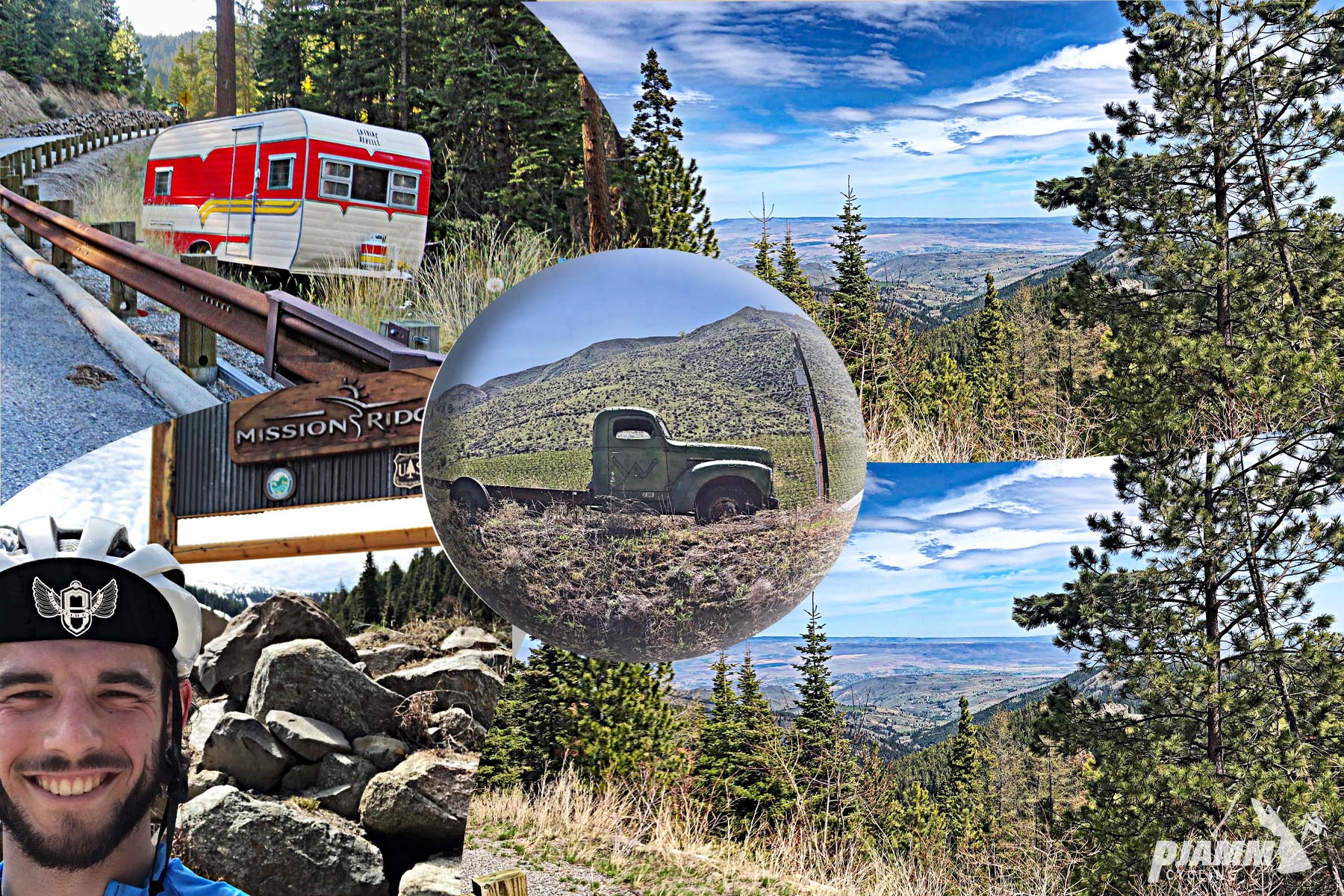
Mission Ridge climbs 11.0 miles from Wenatchee at 790 ft to the Mission Ridge Ski & Board Resort at 4585 ft, gaining 3807 ft at an average of 6.6%. It's one of the toughest climbs in Washington and a Top 100 US climb, and it's really two climbs in one: the first 7 miles up Squilchuck Road average 5.7%, then the final 4 miles on Mission Ridge Road average 8.1% through a set of big switchbacks.
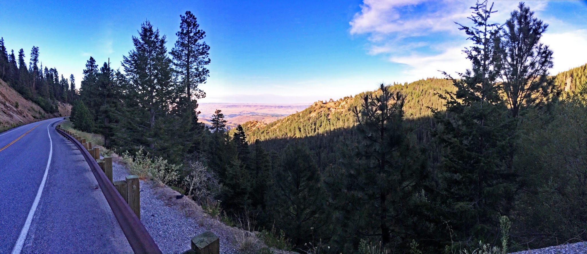
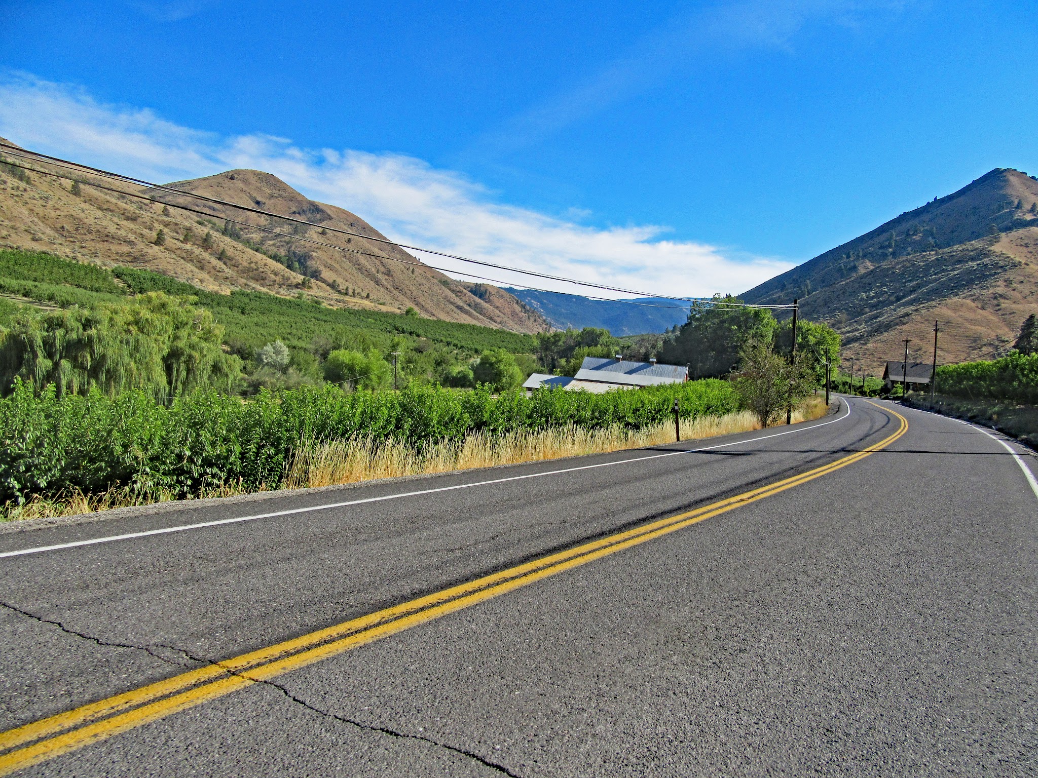
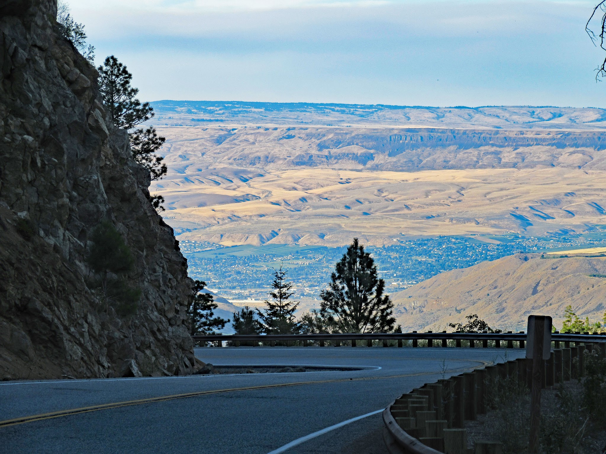
We start in the "Apple Capital of the World," and sure enough the first two miles roll through apple and pear orchards. After the turn onto Mission Ridge Road the route enters the Okanogan-Wenatchee National Forest and the scenery steps up, with trees, a little shade and big views back north toward Wenatchee from the switchbacks. Heat is the big variable - the valley regularly tops 100°F in summer, and riders still report the climb running far hotter than the forecast - so start early, or ride it after ski season ends in spring or in autumn.
"The climb of Mission Ridge is a difficult ascent near Wenatchee in central Washington and another contender for the most difficult in the state. A shallow start within a canyon greets you on this hill and the grade gradually gets steeper as you ascend, leading the rider toward Squilchuck State Park. There is a bit of farm traffic along this section at times but not enough to affect the climb. At mile 6.8 turn right for the finishing stretch...which is a key section to making a successful summit as these last 3.9 miles are the most difficult on the hill. Through several big switchbacks, this section averages over 8% and also contains the maximum grade on the climb. Near the top good views arrive in places..." (This quote is presented with the approval of John Summerson from The Complete Guide to Climbing (by Bike), 2nd Edition, pg. 226.)
PLAN YOUR ROUTE
 We've partnered with Sherpa-Map.com to bring you the best route planning tool. With a PRO Membership you can use this climb as a reference when creating your route.
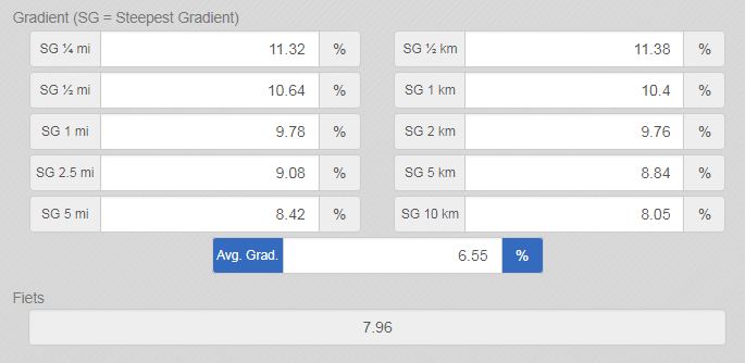
The climb averages 6.6% over 11.0 miles. The steepest quarter-mile is 11.4%, the steepest half-mile 10.8%, the steepest mile 9.9%, the steepest 2.5 miles 9.1% and the steepest 5 miles 8.5%.
The first 7 miles on Squilchuck Road are the warm-up at 5.7%, building gradually from around 4% through the orchards to near 7% as you approach the turn. The final 4 miles on Mission Ridge Road average 8.1% and hold the hardest climbing, including a half-mile above 10% through the switchbacks.
Roadway: The road is paved the entire way, and because it serves a ski resort it's kept open year round. Chelan County has a project in design to rebuild and widen the lowest mile of Squilchuck Road, from the Wenatchee city limits to the Methow Street intersection, including a wider shared shoulder for cyclists - check Chelan County Public Works news for construction delays before you go. Above the Wenatchee Heights Road turnoff, riders report a consistent shoulder of about 3 feet and better pavement.
Traffic: Below the Wenatchee Heights Road turnoff, traffic can be busy, including dump trucks, and the shoulder varies from narrow to nonexistent. Above it, traffic is light, especially outside ski season. One local rider suggests Methow Street, which parallels Squilchuck Road for the first couple of miles before joining it, as a quieter alternative.
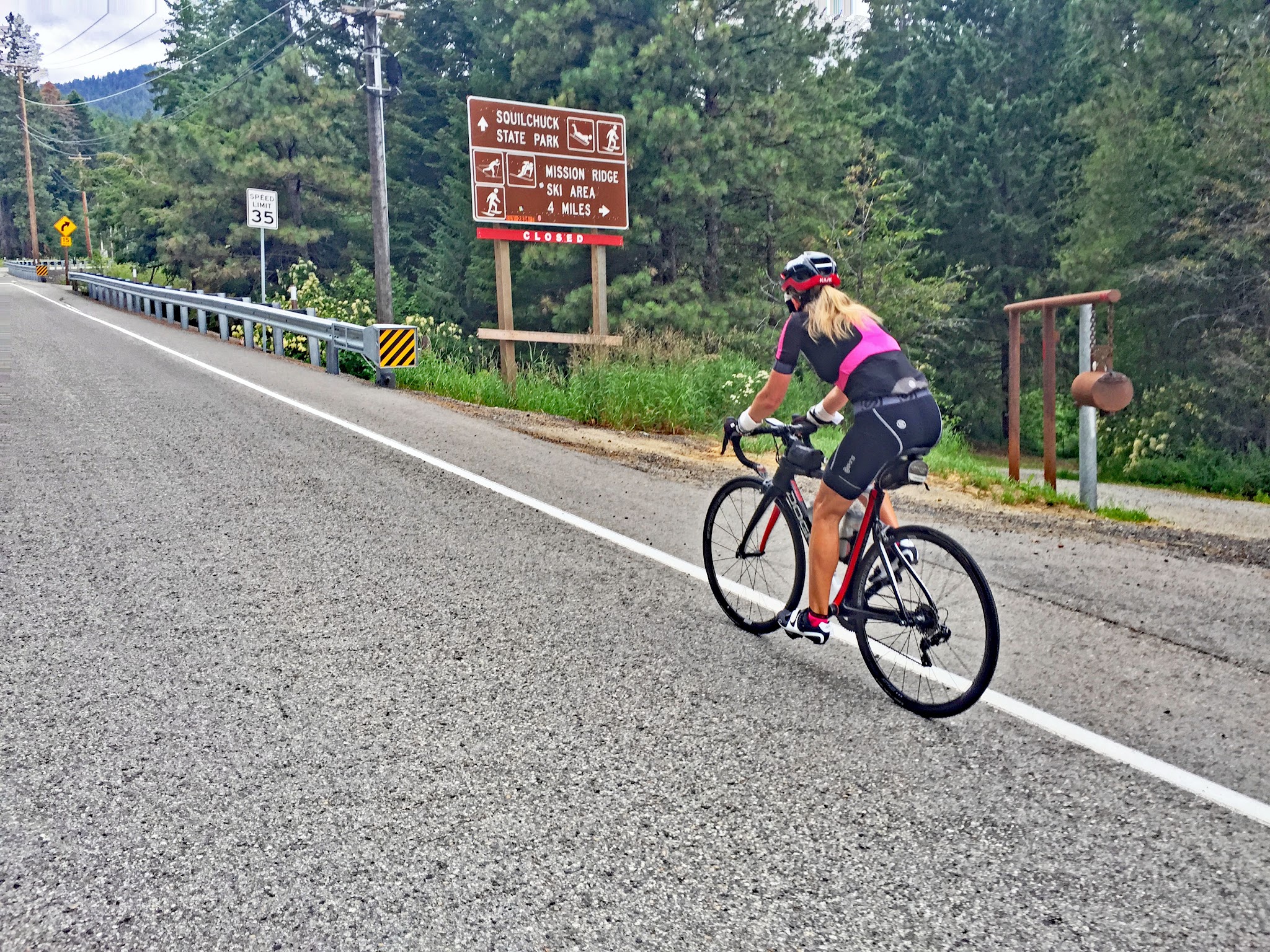
Parking: Lincoln Park, at Crawford Avenue and South Mission Street, has parking and restrooms a short ride from the start. If you'd rather start higher, Squilchuck State Park on Mission Ridge Road, at about 3,200 ft, also has parking (Discover Pass required).
Provisions: Fill up in Wenatchee before you start. Squilchuck State Park, shortly after the turn onto Mission Ridge Road, has drinking water and restrooms and is open daily from 8 a.m. to dusk. At the top, riders have found a restroom with running water in the building beside the ski area map sign, but don't count on food at the resort outside ski season.
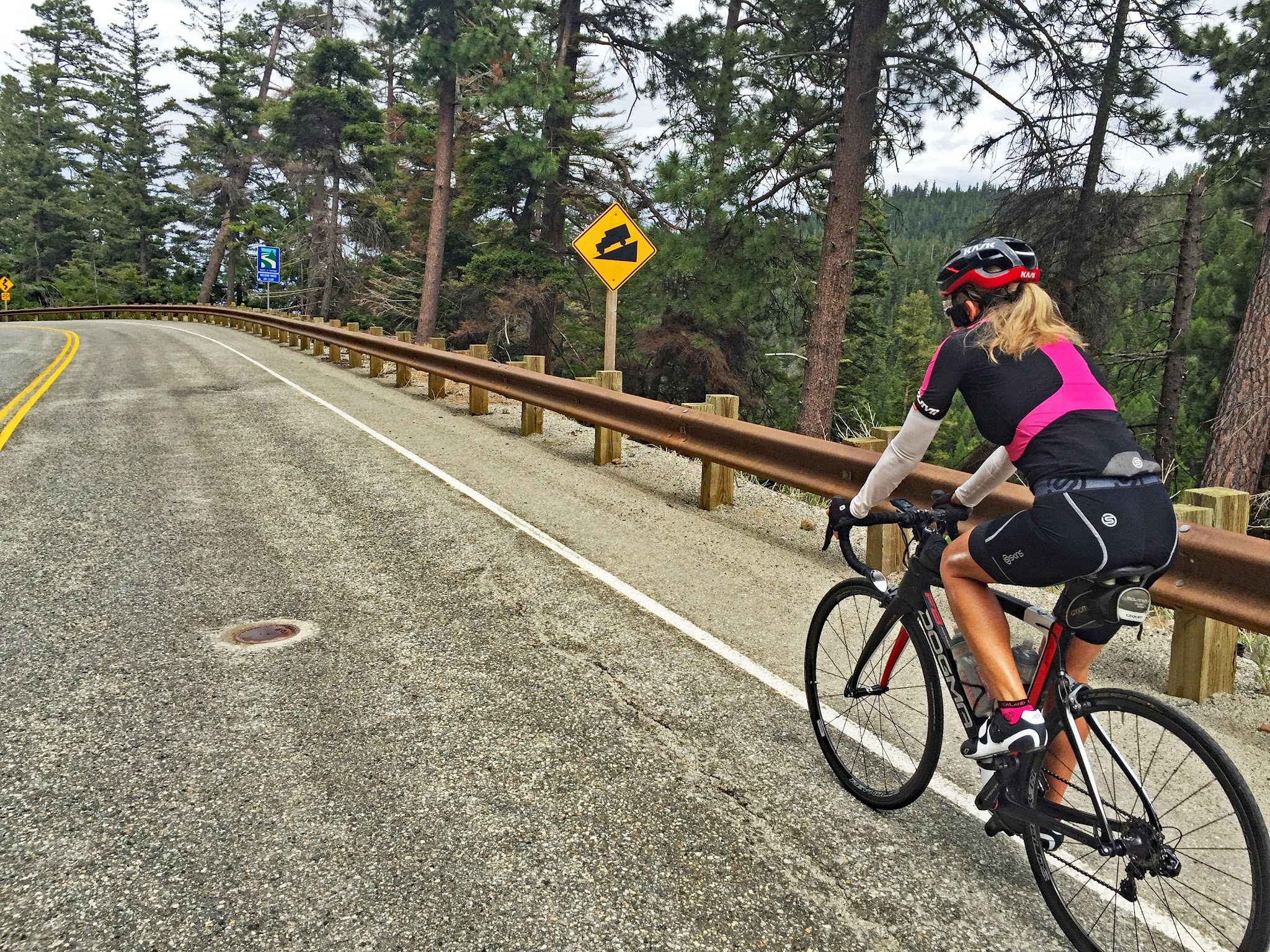
Gear: The last 4 miles average 8.1% with pitches above 11%, so bring low gearing. It can be 10-20°F cooler at the top than in Wenatchee, so pack a jacket for the steep, twisting descent, and watch for deer on the lower road.
Before heading out on any cycling adventure check out our Things to Bring on a Cycling Trip and use our interactive check list to ensure you don't forget anything.
If you are staying in or near Wenatchee, ride a section of the Apple Capital Loop Trail along both banks of the Columbia River - Map. Ohme Gardens County Park is well worth a visit if you have time - Google Map + Reviews. The area also has vacation rental options to stay in.
The top of Mission Ridge has hiking and mountain bike trails, and one rider recommends a mountain bike descent from the final switchback past Devil's Spine to Beehive Reservoir before rejoining the road. Wenatchee has plenty of other climbs - see what's nearby, or build a longer day from here, with our Routes in the Area tool.
ROUTE MAP

MEMBER RATING
CURRENT WEATHER
PJAMM TRIPS ADVENTURE STARTER BUNDLES
Check out PJAMM Adventure's prepackaged (self-guided) cycling trips. They will help you plan, document and conquer your next adventure.
NEARBY CLIMBS (0) RADIAL PROXIMITY
FROM No Climbs Found
MEMBER REVIEWS & COMMENTS
Let us know what you thought of this climb. Signup for our FREE membership to write a review or post a comment.
Already have an account?
LOG IN HERE
MethowBiker
Updating my review from four years ago. I've now done this climb twice, and Hurricane Ridge several times. Though ranked as harder, I find Hurricane much easier as the grades are mild, and you can just settle in a gear for a while. Whereas Mission has a couple miles where you have to really commit, where it's harder to just spin. Mission is much shorter, so prob why it's ranked lower. But, don't take the lower ranking lightly. Mission would also be brutal in mid-summer (Wenatchee at the base regularly exceeds 100 F/ 38 C in the summer). This climb is best done right after ski season ends or in autumn (can climb into early November many years)
GageBoson
I rode this climb on July 27th with a forecast temperature of 76 degrees in Wenatchee. With no wind and almost zero tree cover my Wahoo recorded an average temperature of 88 degrees during the climb, with spikes above 95 degrees at times. If you are planning to ride this climb in the middle of summer, I would recommend starting early in the morning to avoid issues with the heat. For scenery, there were glimpses of the Wenatchee valley once the switchbacks began near the top. At the top there is a building just to the left of the ski map sign that had a restroom with running water. There is also a stream next to that building if you are willing to filter and disinfect it before drinking.
laurasonthemove


Parked the car at Lincoln Park before the climb and just took the traditional route up. Yes there was some traffic but I thought it was manageable. Climb going up was super nice, consistent climbing. I was on a CX bike (just traveling through) and met some guys that suggested I take the MTB route down - this was incredible. Let a little air out of my tires and went for it. Route started at the final switchback, went past Devil's Spine, connected at Beehive Reservoir, and took the rest of the way back on the road. Mix of pavement climb and off road descent made this an incredible day in the saddle for me. Definitely would recommend.
MethowBiker
This climb is best divided in 2: above and below the turnoff for Wenatchee heights. Below is busy traffic, including dump trucks, and mixed width to non-existent shoulder. Above is nearly zero traffic (if ridden when the ski area is closed), consistent 3 foot shoulder and better pavement.
I recommend veering from the standard route by taking methow street (“met-howâ€) for the first two and last two miles. It parallels squilchuck road, then joins it. Better scenery too. Going up it is steeper in places, then it flattens.
Park at Lincoln park.
As with the other climbs in this area, wind is the main variable. Mission ridge consistently records the highest winds in Washington (at it's 7000 foot summit). The day I did it, 8 April 2021, winds were just a tad breezy at the parking lot, then crazy headwinds once I got below 2500 feet. Another reason to take methow street so you can take the whole lane.
tyler.dretke
Thanks for the tip! Looking forward to doing this climb this summer after Tour de Bloom!