![]()
Cycling Town Mountain
Ride 4.8 miles gaining 1,190’ at 4.7% average grade.
Climb summary by PJAMM ambassador Dan Razum, San Jose, CA.
Town Mountain Road goes from the city of Asheville up to the Blue Ridge Parkway (BRP). The climb itself ends about a mile short of the BRP, that is, the highest point on Town Mountain Road occurs before you reach the Parkway. Of course you can use Town Mountain Road to reach the BRP and continue riding on the BRP.
![]()
The climb basically starts in the downtown area of Asheville, which is good if you live or work in the city, it is easily accessible. However, if you are further away and want to drive to the base of the climb, then it's not so good. All the parking on the nearby streets is metered parking, so you will need to pay if you want to park anywhere near the start
of the climb.
![]()
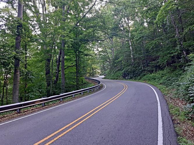
The first mile and a half is the steepest section of the climb. After that, it flattens out and is pretty tame. The road serves a large residential community on the mountain, we pass several neighborhoods along the way. Because of this, there is a fair amount of traffic. The traffic does decrease as you get closer to the Blue Ridge Parkway, but it doesn't disappear.
The road is in good condition but it is fairly narrow without much of a shoulder.
![]()
If this road were located elsewhere, it might be worthwhile to do. However, since there is a lot of good biking in this area, we wouldn't recommend driving just to do this climb. Rather, this is a climb for locals, when you don't need to drive to it and it can be used to access the BRP. If you plan to drive to ride, then it would be better to go to the BRP or other
nearby roads instead and get nice scenery with less houses and traffic.
![]()
Unmarked finish.

 We've partnered with Sherpa-Map.com to bring you the best route planning tool. With a PRO Membership you can use this climb as a reference when creating your route.

