14.2
PDI
4.3 mi
DISTANCE
1,944 ft
GAINED
8.4 %
AVG. GRADE
FULL CLIMB STATS
Page Contributor(s): Dan Razum, Campbell, CA, USA
INTRO
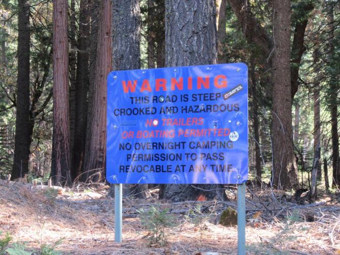
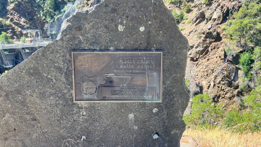
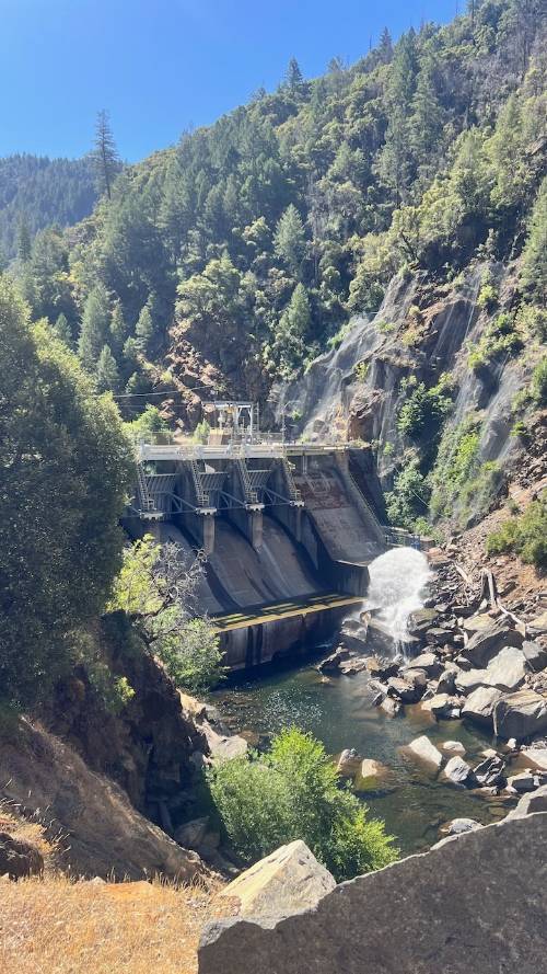
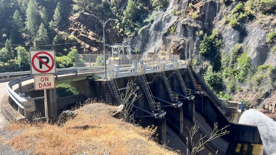
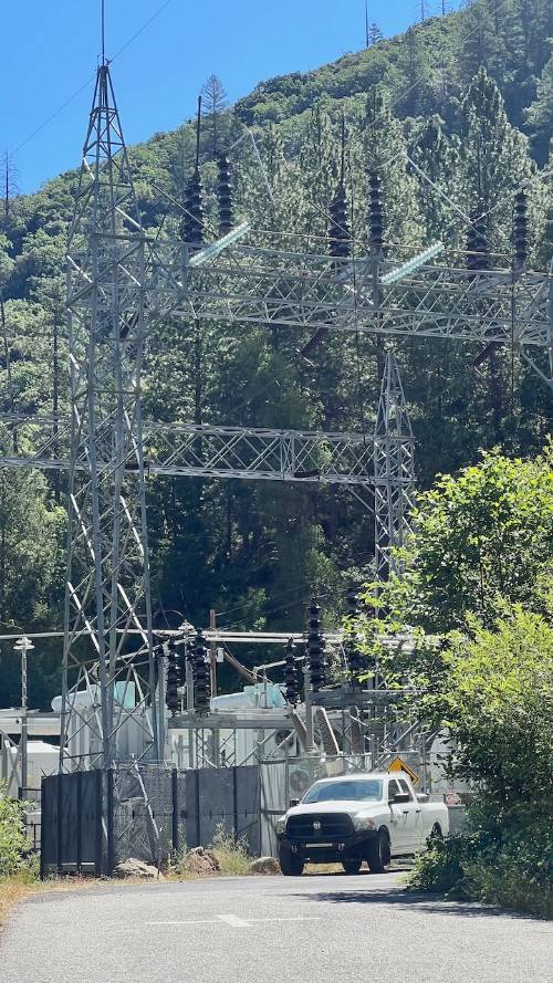
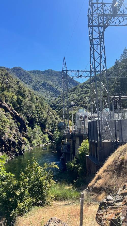
Unnamed Road (Off Mosquito Ridge Road) to power station at bottom of ravine - This descent from Mosquito Ridge Road down an unnamed road to a somewhat eerie and desolate hydroelectric dam is quite the challenge, particularly after climbing Corkscrew and Mosquito Ridge. Mosquito Ridge’s 18 mile stretch of road from the start of the Mosquito Ridge climb (at the bridge over the North Fork of the Middle Fork of the American River - really, that’s how it’s referred to on the maps!) is home to some incredibly difficult and remote Northern Sierra Climbs - Unnamed Road being one of them.
PLAN YOUR ROUTE
See more details and tools regarding this climb's grade via our interactive Profile Tool.
Information Not Available
If you have any information regarding this climb, we'd like to hear from you. Click the CONTRIBUTE button to share your thoughts with us.
Information Not Available
If you have any information regarding this climb, we'd like to hear from you. Click the CONTRIBUTE button to share your thoughts with us.
Before heading out on any cycling adventure check out our Things to Bring on a Cycling Trip and use our interactive check list to ensure you don't forget anything.
Information Not Available
If you have any information regarding this climb, we'd like to hear from you. Click the CONTRIBUTE button to share your thoughts with us.
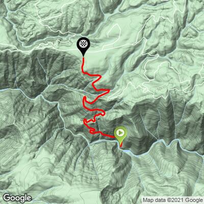
ROUTE MAP
MEMBER RATING
CURRENT WEATHER
PJAMM TRIPS ADVENTURE STARTER BUNDLES
Check out PJAMM Adventure's prepackaged (self-guided) cycling trips. They will help you plan, document and conquer your next adventure.
NEARBY CLIMBS (0) RADIAL PROXIMITY
FROM No Climbs Found
MEMBER REVIEWS & COMMENTS
Let us know what you thought of this climb. Signup for our FREE membership to write a review or post a comment.
Already have an account?
LOG IN HERE
D_Murdoch
The road down is much better than expected, just watch for the normal potholes, cracks, and rocks here and there. It's quite surprising that so few people do this climb - perhaps it's a bit daunting going down and then climbing out. I went down with two other people, so it did not seem eerie, although very isolated. If you enjoy climbs, the climb out is long but not torturous. Recommended.
jsummers
Interesting climb within interesting and isolated territory. Watch the descent which you have to do in order to climb back out. Once down, check out the river and dam near climb start. Once heading up, it contains very solid grade through its middle core through nice switchbacks, easing towards the top. Definitely worth the effort to get there.