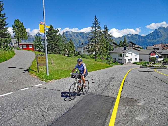
Tannenbodenalp Bike Climb - PJAMM Cycling

17.8
PDI
10.7 mi
DISTANCE
3,245 ft
GAINED
5.7 %
AVG. GRADE

FULL CLIMB STATS

Page Contributor(s): Helmuth Dekkers, Netherlands

INTRO

This 10.7 mile bike climb is located in Sankt Gallen, Switzerland. The average gradient is 5.7% and there is a total elevation gain of 3,245 ft, finishing at 4,550 ft.

Use the profile tool, route map, and weather forecast to conquer this cycling climb.

See more details and tools regarding this climb's grade via our interactive Profile Tool.
Information Not Available

If you have any information regarding this climb, we'd like to hear from you. Click the CONTRIBUTE button to share your thoughts with us.

Information Not Available

If you have any information regarding this climb, we'd like to hear from you. Click the CONTRIBUTE button to share your thoughts with us.

Before heading out on any cycling adventure check out our Things to Bring on a Cycling Trip and use our interactive check list to ensure you don't forget anything.
Information Not Available

If you have any information regarding this climb, we'd like to hear from you. Click the CONTRIBUTE button to share your thoughts with us.

ROUTE MAP

MEMBER RATING

Not Yet Rated
-
Road
-
Traffic
-
Scenery

CURRENT WEATHER

PJAMM TRIPS ADVENTURE STARTER BUNDLES

Check out PJAMM Adventure's prepackaged (self-guided) cycling trips. They will help you plan, document and conquer your next adventure.
ALL TRIPS
Browse all of our prepackaged trips and find your next adventure!

NEARBY CLIMBS (0) RADIAL PROXIMITY

FROM
No Climbs Found

MEMBER REVIEWS & COMMENTS

Let us know what you thought of this climb. Signup for our FREE membership to write a review or post a comment.
Already have an account?
ROUTE MAP
PROFILE TOOL
Route Data
S.G. (%)
hide
Segment Data
hide

Climb Profile Not Found
CLIMB SUMMARY

Cycling Tannenboden (Flumserberg Ski Resort)  BIG 571

Ride 17.2 kilometers gaining 990 meters at 5.7% average grade.

Summary from Helmuth Dekkers (NL)

The ascent starts in Flums and leads you to Flumserberg the largest wintersport area between Chur and Zurich. In summer it is also the start point for hikes on the Flumserberg as some cable cars and chair lifts start there to take you higher up.

So on your way up there is probably some traffic to take into account. The road goes up with a number of hairpin turns with quite long straights (1-2km) in between them and offers a nice view on the serrated mountain ridge of the Churfirsten mountains on the north of the Walensee lake.

Churfirsten mountain limestone serrated ridge in background

Left to right:  Frumsel, Brisi, Zustoll, Scheibenstoll and part of Hinterrugg

The standard 7 peaks of the Churfirsten are the

 listed from left to right and do not include the 2 far right

Image:  Wikipedia

The average gradient is close to 8.5% and only just before Tannheim it's a bit harder with 2km with 10% on average. After that it's 2km left to the top at 8% where you can relax at a restaurant with coffee or lunch while enjoying the view.

Bristi, Zustoll and Schibenstoll Peaks.