23.7
PDI
13.9 mi
DISTANCE
4,196 ft
GAINED
5.7 %
AVG. GRADE
FULL CLIMB STATS
Page Contributor(s): Helmuth Dekkers, Netherlands.
INTRO
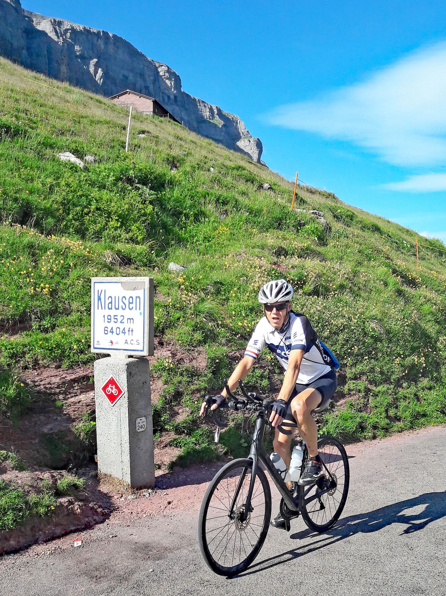
Klausenpass links Linthal in canton Glarus with Altdorf in Uri, and this eastern side from Linthal is the more dramatic of its two approaches. It runs 22.3 km (13.9 mi) and gains 1279 m (4,196 ft) at an average of 5.7%, topping out at the Klausenpasshöhe at 1948 m (6,391 ft).
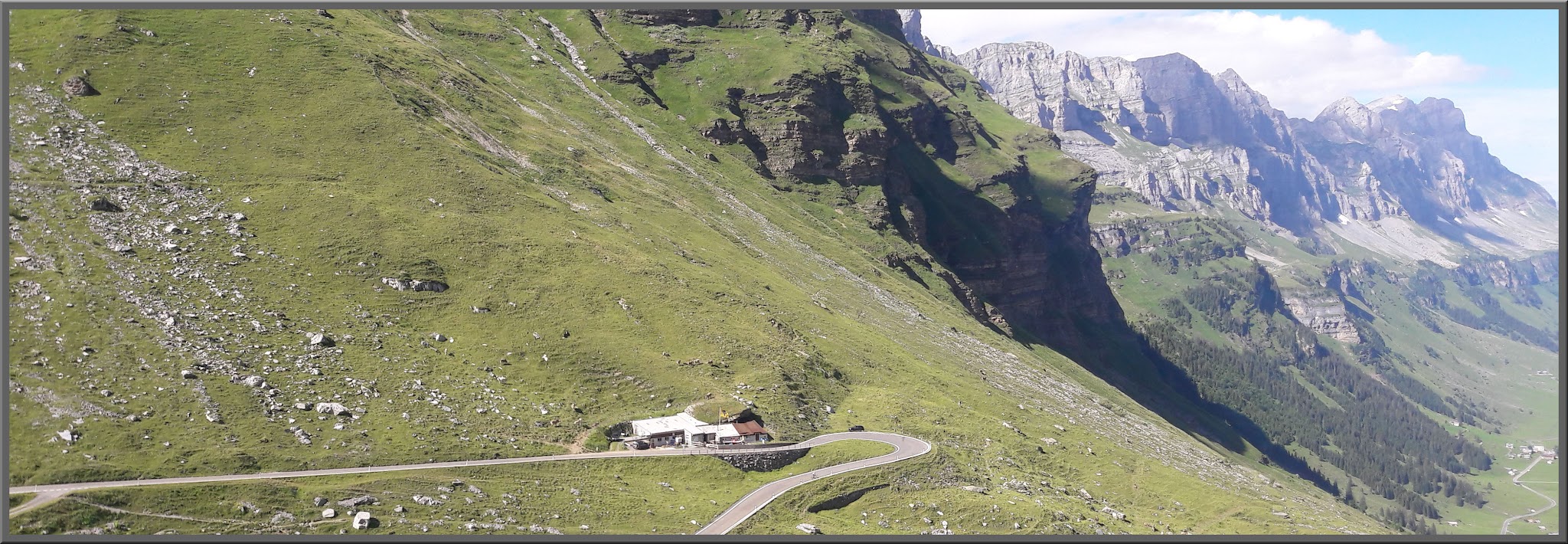
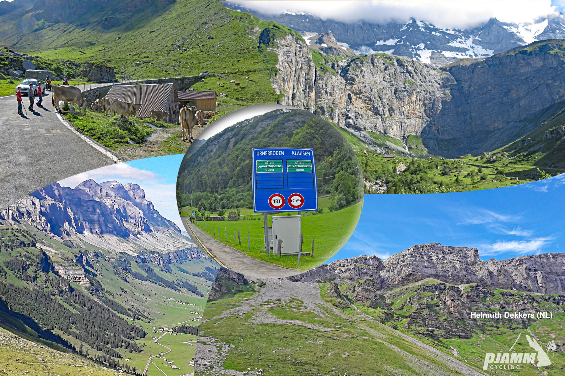
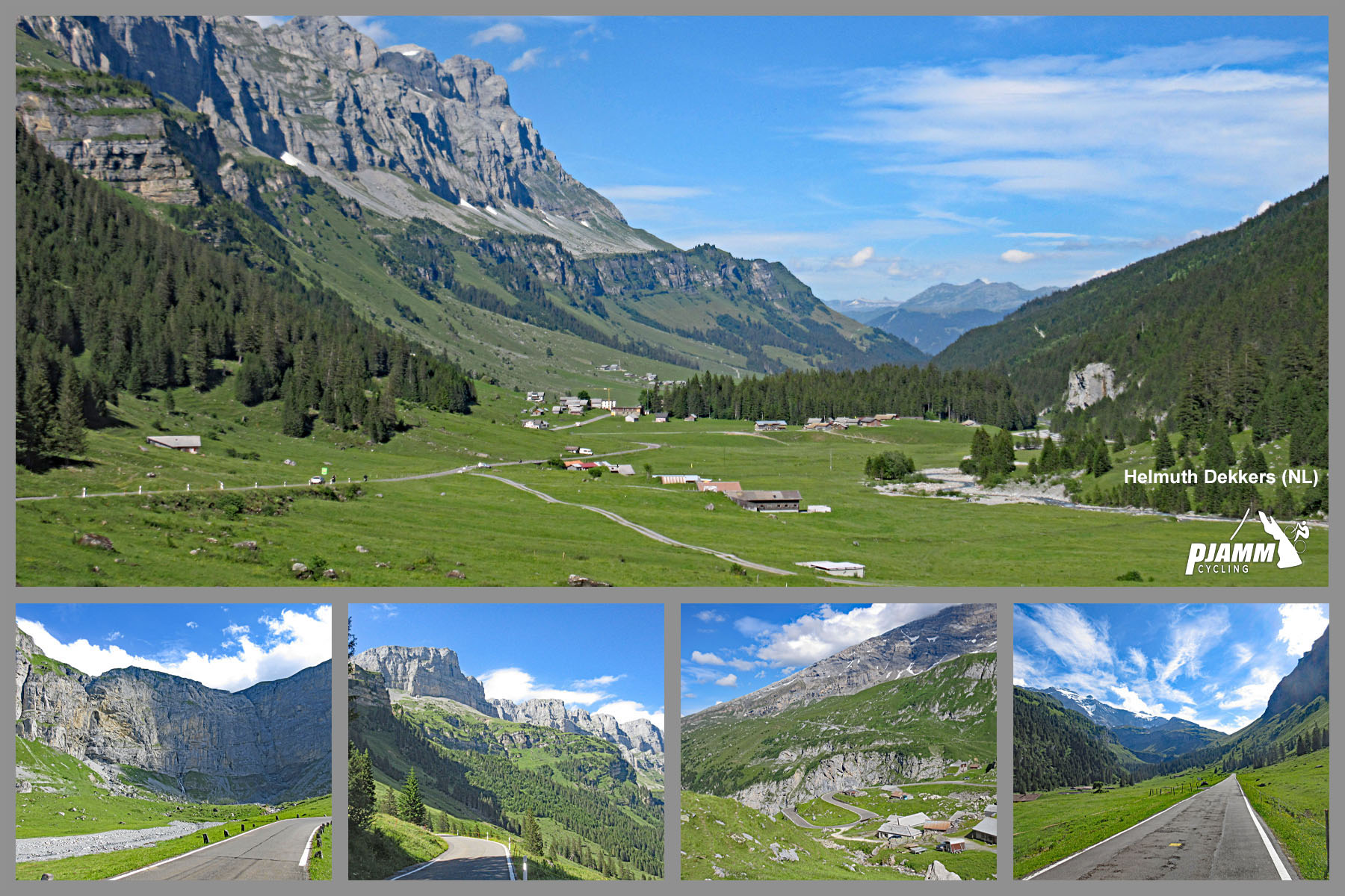
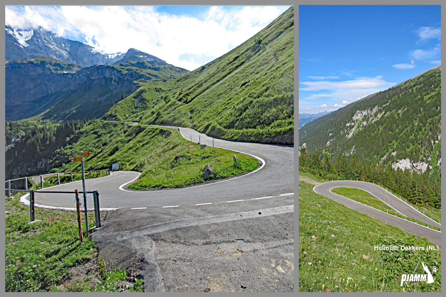
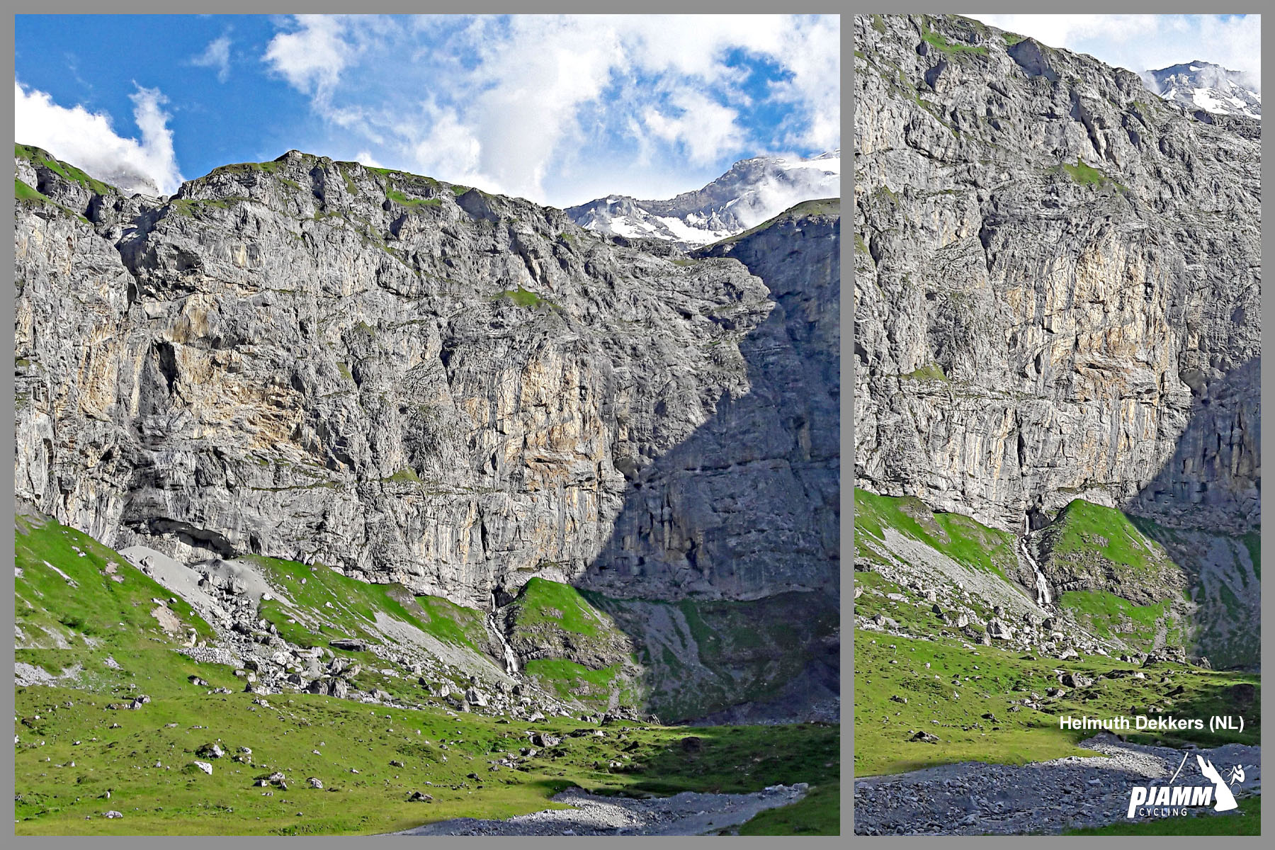
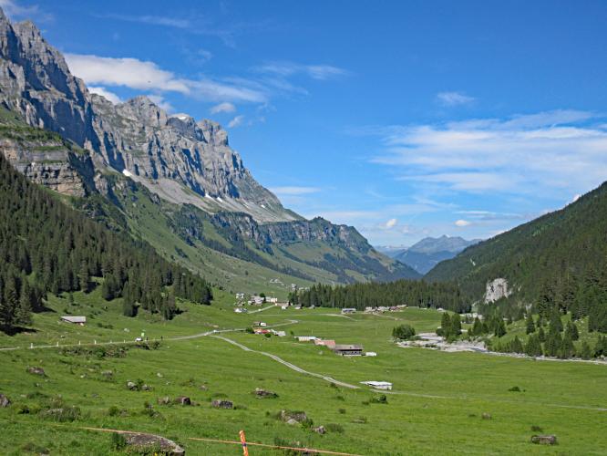
That average is misleading - as our friend and contributor Helmuth Dekkers found, this climb is harder than it looks. The first 9.5 km (5.9 mi) average 6.8%, starting with two cobbled hairpins just out of Linthal and continuing through a gallery and a tunnel of roughly 550 m. Then the valley opens onto the Urnerboden, Switzerland's largest alpine pasture and summer home to around 1,200 cows, for nearly 5 km of almost flat road. The final 8 km (5.0 mi) average 7.0%, sweeping past a towering rock cirque before a tight, twisting string of hairpins - Helmuth compared it to a Formula 1 circuit - leads to the saddle.
The road opened in 1900, and from 1922 to 1934 this very Linthal-to-summit course hosted the Klausenrennen, one of the great hillclimb races of pre-war Europe. The race has been revived on the original 21.5 km course, running 25-27 September 2026 with the next edition planned for 24-26 September 2027, and the road is also closed to cars on select days for cycling events such as the Klausen Monument on 13 September 2026. Like all high Swiss passes, Klausenpass closes for winter, typically from October or November until late May or June.
PLAN YOUR ROUTE
 We've partnered with Sherpa-Map.com to bring you the best route planning tool. With a PRO Membership you can use this climb as a reference when creating your route.
 Klausenpass East climbs 22.3 km (13.9 mi) from 662 m (2,170 ft) in Linthal to the 1948 m (6,391 ft) pass, gaining 1279 m (4,196 ft) at an average of 5.7%.
Km 0-9.5: 9.5 km (5.9 mi) at 6.8%, including the cobbled hairpins at the start and the tunnel.
Km 9.5-14.3: 4.8 km (3.0 mi) at just 1.6% across the Urnerboden.
Km 14.3-22.3: 8.0 km (5.0 mi) at 7.0% - hairpins, the cirque and the final ramps to the pass.
Km 9.5-14.3: 4.8 km (3.0 mi) at just 1.6% across the Urnerboden.
Km 14.3-22.3: 8.0 km (5.0 mi) at 7.0% - hairpins, the cirque and the final ramps to the pass.
The grade is remarkably steady within each climbing section: the steepest kilometer averages 8.0% and the steepest 2 km average 7.7%, so this is a climb of rhythm rather than walls. Take the flat middle section out of the average and the two climbing blocks together run at roughly 7%.
Roadway: Paved the whole way apart from a short cobbled section of roughly 300-400 m on the first two hairpins out of Linthal, which is rough but rideable. Early on, the road passes through a gallery and a tunnel of roughly 550 m with no shoulder - use front and rear lights. A retaining-wall renovation in the Schlierenegg area, between the Urnerboden and the pass, is scheduled to run until October 2026 with traffic-light-controlled single-lane traffic, so expect short waits on the upper climb. The pass closes for winter, typically from October or November until late May or June - check current status before you go.
Traffic: Moderate on summer weekends, when motorcyclists and day-trippers cross between Glarus and Uri and the PostBus runs the route; weekdays are noticeably quieter. The road is closed to motor traffic on select dates for events - including the Klausenrennen hillclimb revival on 25-27 September 2026 - so check event calendars before planning a late-September ride.
Parking: The Braunwaldbahn funicular station in Linthal, near the start, has more than 750 parking spaces. Linthal is also the end of the rail line from Ziegelbrücke, with regular service toward Zurich, so arriving by train is easy.
Gear: Front and rear lights are essential for the tunnel. Grades never get extreme, so a standard compact crankset is plenty, but the summit is exposed and can be cold and windy - bring a wind layer for the long descent back to Linthal.
Provisions: Linthal has shops for supplies before the start. The Urnerboden, at the midpoint of the climb, has a few restaurants and mountain inns open in summer, and there is a restaurant at the Klausenpasshöhe.
Before heading out on any cycling adventure check out our Things to Bring on a Cycling Trip and use our interactive check list to ensure you don't forget anything.
Linthal sits at the head of the Glarus valley, and its most unusual neighbor is Braunwald, a car-free resort village on a sunny terrace about 600 m above town. The Braunwaldbahn funicular, running since 1907, gets you there from Linthal in around seven minutes - a good rest-day trip for walking and views across the Glarus Alps.
The Klausen also pairs well with the Pragelpass, which links Glarus with the Muotathal in canton Schwyz. Helmuth rode both from the east in a single trip, and you can make a big loop by descending the Klausen to Altdorf, following the shore of Lake Lucerne to Brunnen, and returning over the Pragel to Glarus. On weekends, a roughly 2 km section of the Pragel near the Schwyz-Glarus border is closed to motor vehicles, which makes it especially appealing then.
Check current conditions at the pass with our Weather tool before you go.
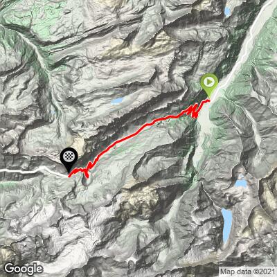
ROUTE MAP
MEMBER RATING
CURRENT WEATHER
PJAMM TRIPS ADVENTURE STARTER BUNDLES
Check out PJAMM Adventure's prepackaged (self-guided) cycling trips. They will help you plan, document and conquer your next adventure.
NEARBY CLIMBS (0) RADIAL PROXIMITY
FROM No Climbs Found
MEMBER REVIEWS & COMMENTS
Let us know what you thought of this climb. Signup for our FREE membership to write a review or post a comment.
Already have an account?
LOG IN HERE