25.1
PDI
11.1 mi
DISTANCE
3,988 ft
GAINED
6.7 %
AVG. GRADE
FULL CLIMB STATS
Page Contributor(s): Helmuth Dekkers, Netherlands
INTRO
Engstlenalp climbs 17.9 km (11.1 mi) from Innertkirchen, in the Bernese Oberland, gaining 1215 m (3,988 ft) at a 6.7% average grade to a valley-floor hamlet at 1835 m (6,021 ft) beside Engstlensee. Unlike the big through-passes that also start in Innertkirchen, this is a dead end - you climb into the Gental and ride back out the way you came.
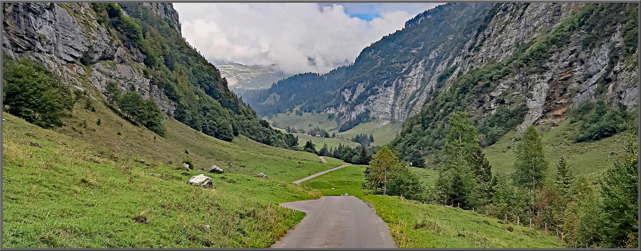
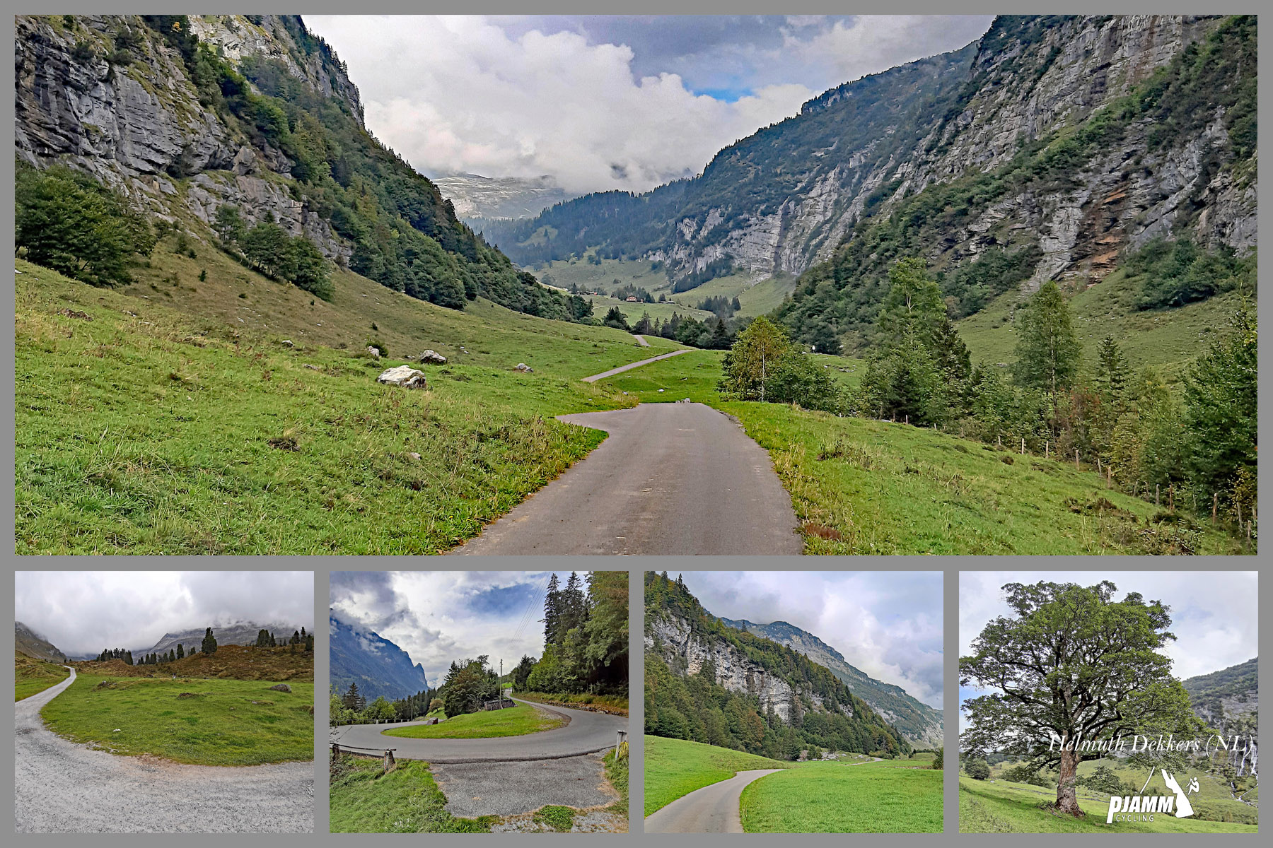
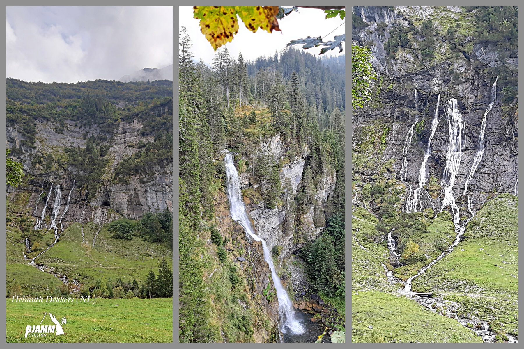
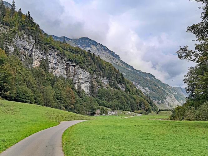
The route shares its first 4.2 km with our Sustenpass (Innertkirchen) climb before forking left at Gasthof Wagenkehr into the narrow, forested Gental valley. From there the road alternates between hard and easy: a steep pitch up to the valley floor, a long, gentle stretch along the Gentalwasser stream past rock walls and waterfalls, then a final steep ramp with hairpins near Schwarzenalp before flattening out for the last couple of kilometers into Engstlenalp.
The road is privately maintained by the Mühletal-Engstlenalp cooperative and carries a toll for motor vehicles from Wagenkehr onward - cyclists ride it free. Public bus service into the valley was discontinued in 2017, so traffic is limited mostly to the cars of hotel and restaurant guests. Riders based in Innertkirchen for a few days can pair this with the Sustenpass, Grimselpass, or Grosse Scheidegg climbs nearby - see our Routes in the Area tool.
PLAN YOUR ROUTE
 We've partnered with Sherpa-Map.com to bring you the best route planning tool. With a PRO Membership you can use this climb as a reference when creating your route.
 Engstlenalp averages 6.7% over 17.9 km (11.1 mi), gaining 1,215.5 m (3,988 ft) from 635.2 m (2,084 ft) in Innertkirchen to 1,835.2 m (6,021 ft) at the valley floor near Engstlensee.
The grade comes in distinct blocks rather than a steady average. The first roughly 4 km, shared with the Sustenpass road, run at about 5.8%.
After the turnoff at Wagenkehr, the next stretch into the Gental steepens to roughly 8.8% for about 4 km. The valley floor that follows is the easiest part of the ride, closer to 3% for several kilometers alongside the Gentalwasser stream.
The climb's hardest work comes late: a steep ramp averaging around 9%, past a waterfall and a pair of hairpins near Schwarzenalp, before the final couple of kilometers flatten out into Engstlenalp.
Roadway: Paved essentially the entire way, and reported in good to excellent condition on its private-road section past Wagenkehr, which is maintained by the Mühletal-Engstlenalp road cooperative. The last stretch to Engstlensee itself is a walking/mountain-bike trail, not part of this paved route - road bikes should plan to turn around at the hotel.
Traffic: The first 4.2 km on the Sustenpass road can carry a moderate amount of through traffic in season, though reports describe it as generally quiet outside peak midday hours. Past Wagenkehr, the road narrows noticeably - there's little room to pass an oncoming car - but traffic itself is light, since it's a dead end serving only the hotel, restaurant, and farms in the valley, and the public bus into the valley was discontinued in 2017.
Parking: Innertkirchen has roadside parking near the Sustenpass junction, a natural place to start. There's no need to worry about the private road's vehicle toll on this climb - cyclists are not charged to use it, unlike drivers, who pay from Wagenkehr onward.
Innertkirchen has basic services - a shop and a couple of places to eat - for topping off before you start. Once you turn off onto the private road at Wagenkehr there's a guesthouse (Gasthof Wagenkehr) right at the junction, and further up, Schwarzenalp restaurant sits near the base of the final steep ramp, both useful stops if you need water or a coffee partway up.
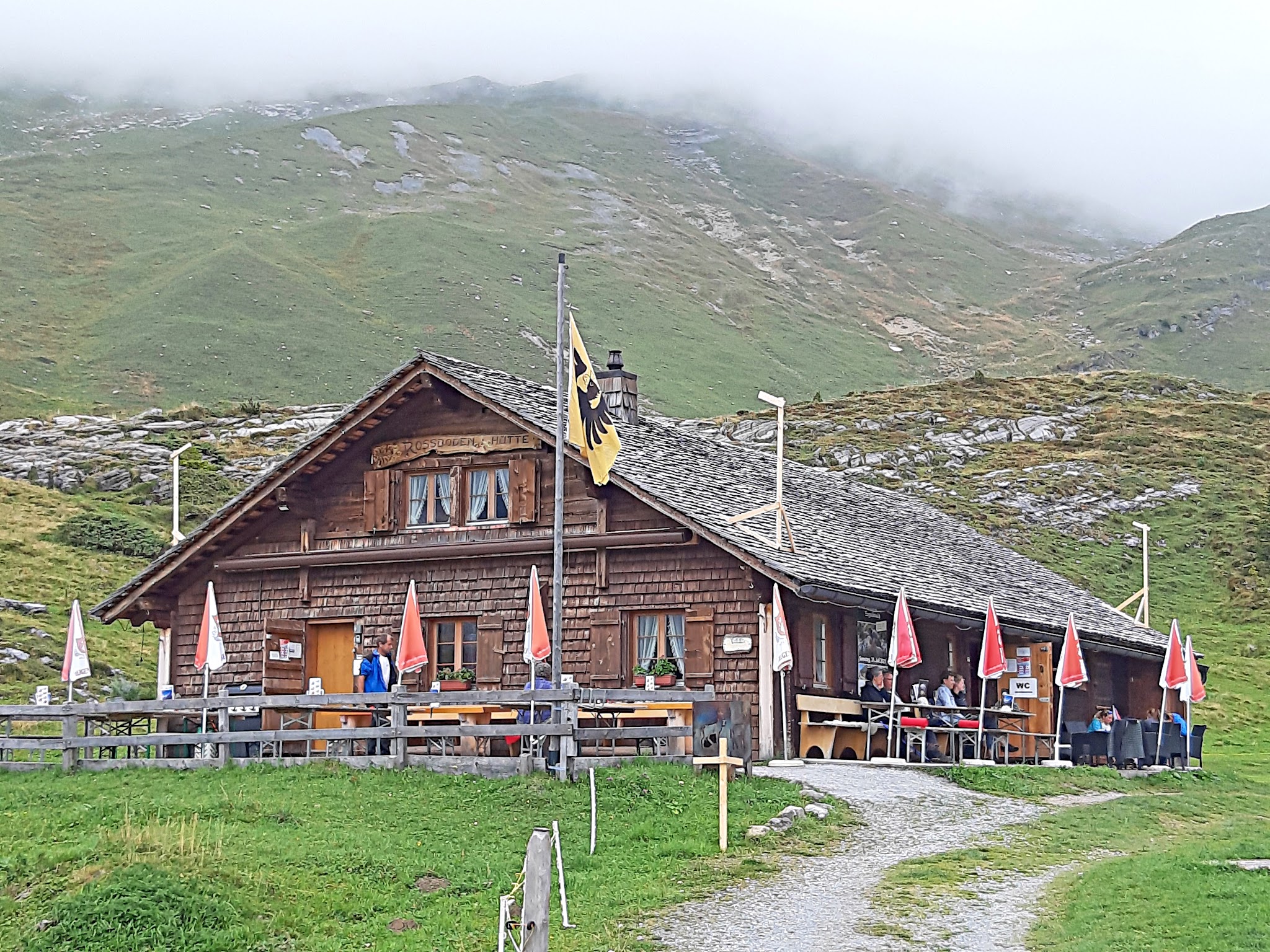
At the top, Hotel Engstlenalp has a restaurant, and reports mention a small dairy/cheese shop nearby selling local products. Beyond that, there's nothing until you're back in Innertkirchen, so plan your water accordingly - it's a long, hard climb back down if you run dry near the top.
Before heading out on any cycling adventure check out our Things to Bring on a Cycling Trip and use our interactive check list to ensure you don't forget anything.
Innertkirchen is a small, functional base - for a fuller range of hotels and restaurants, most riders stay in nearby Meiringen instead (see our Grimselpass and Sustenpass (Innertkirchen) pages for more on that town and the other big passes out of this same valley).
What makes Engstlenalp worth a special trip from that base is the Gental itself - one of the more remote, least-trafficked valleys in the Bernese Oberland, reached by a private road that most drivers pay to use but cyclists ride for free. Engstlensee, the lake just beyond the road's end, is a popular easy walk once you've parked the bike at the hotel; it's not reachable by road bike, but it's worth the short detour on foot if you have the time.
Public bus service from Innertkirchen into the valley was discontinued in 2017, so this dead-end road sees far less traffic than the Grimsel, Susten, or Grosse Scheidegg passes nearby - a good option if you want a quieter day between the bigger climbs.
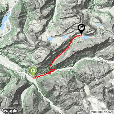
ROUTE MAP
MEMBER RATING
CURRENT WEATHER
PJAMM TRIPS ADVENTURE STARTER BUNDLES
Check out PJAMM Adventure's prepackaged (self-guided) cycling trips. They will help you plan, document and conquer your next adventure.
NEARBY CLIMBS (0) RADIAL PROXIMITY
FROM No Climbs Found
MEMBER REVIEWS & COMMENTS
Let us know what you thought of this climb. Signup for our FREE membership to write a review or post a comment.
Already have an account?
LOG IN HERE