25.3
PDI
11.7 mi
DISTANCE
4,072 ft
GAINED
6.6 %
AVG. GRADE
FULL CLIMB STATS
Page Contributor(s): Ard Oostra, Montreux, Switzerland
INTRO
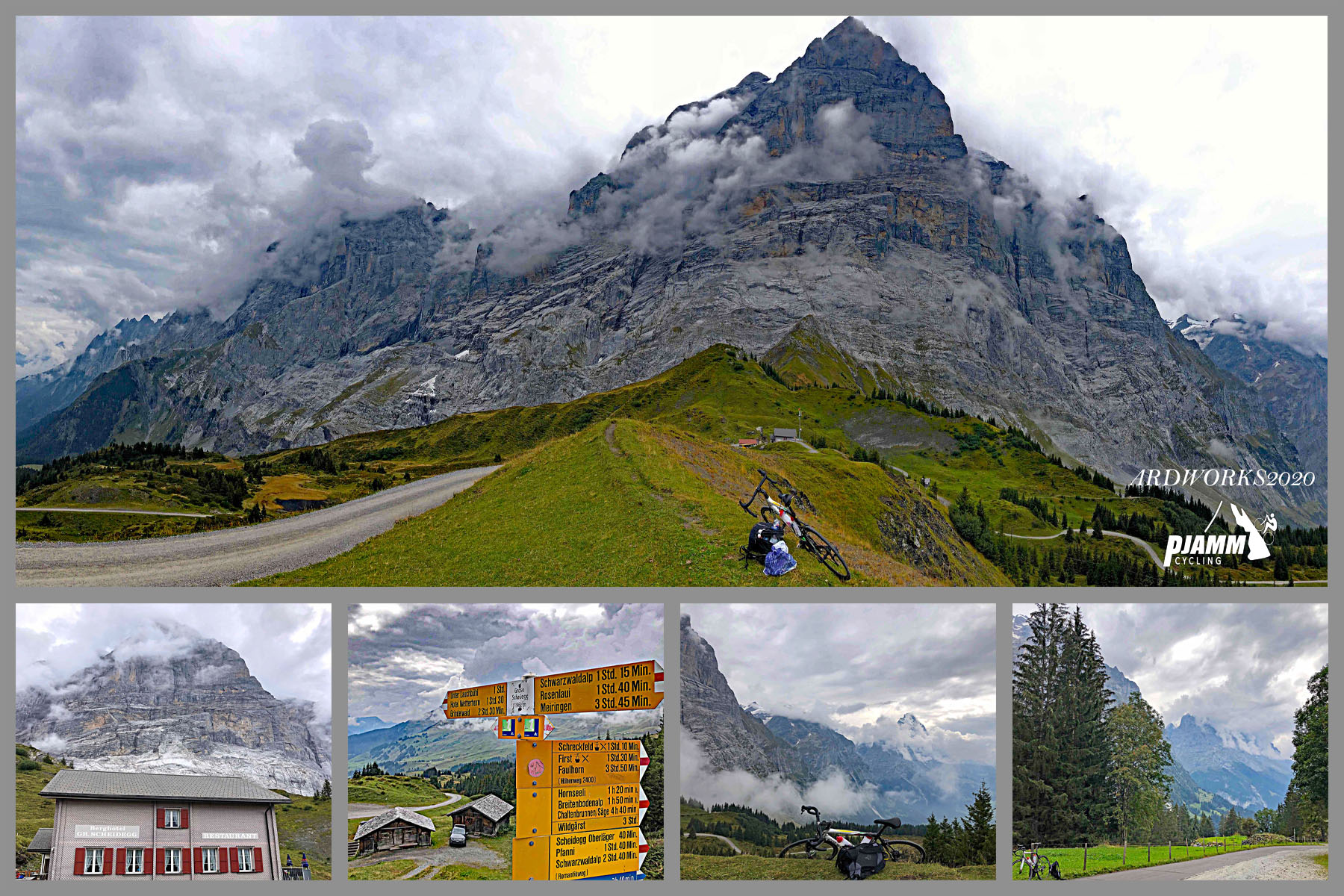
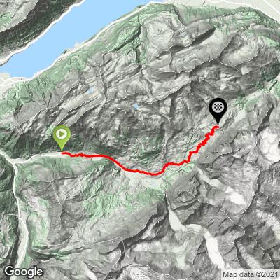
Grosse Scheidegg is one of the great car-restricted passes of the Bernese Oberland, climbing from the village of Lütschental, through Grindelwald, to the Grosse Scheidegg pass at the foot of the Wetterhorn. From the Lütschental train station the route covers 18.9 km (11.7 mi) and gains 1,241.2 m (4,072 ft) at a 6.6% average grade, topping out around 1,949 m (6,395 ft).
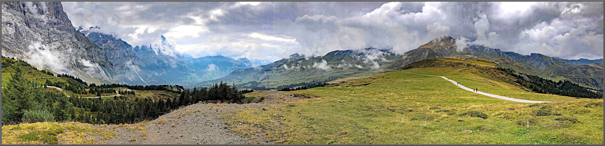
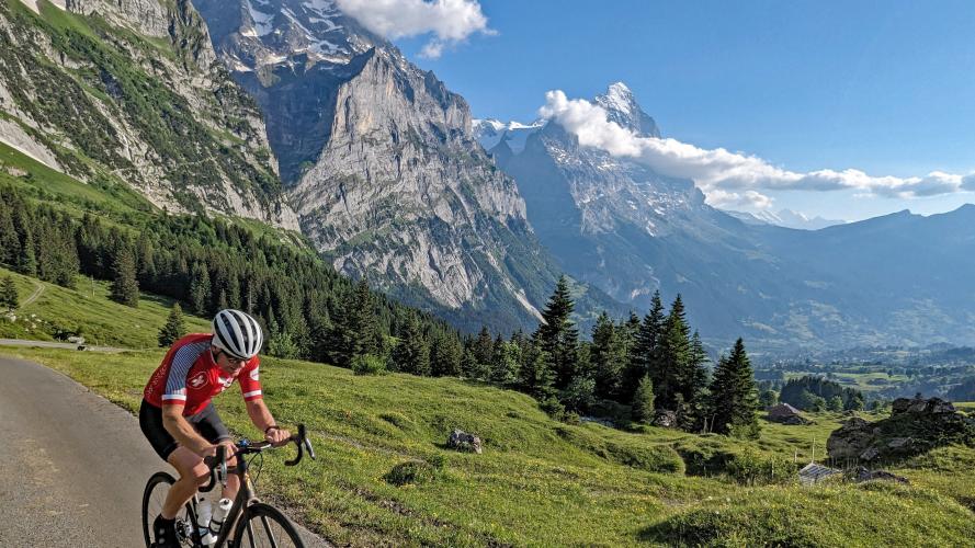
The lower kilometers through Lütschental and Grindelwald run on a normal, gently graded valley road, but the character of the ride changes completely once it leaves Grindelwald: the road narrows, private motor vehicles are banned, and the only traffic for the rest of the way is the occasional yellow PostBus and fellow cyclists. What follows is a sustained high-alpine climb through open pasture with the glaciated faces of the Wetterhorn, Mättenberg, and Eiger towering overhead - the steepest kilometer averages 11.4%, with pitches into the mid-teens near the top.
Grosse Scheidegg has become something of a cult climb among alpine cyclists in recent years, prized for the rare combination of serious gradient and near-total peace on the car-free upper section. The pass also featured in the 2011 Tour de Suisse (Stage 3): the peloton climbed the opposite, Meiringen side of Grosse Scheidegg before descending this same Grindelwald-side road to a bunch sprint in town, won by Peter Sagan.
PLAN YOUR ROUTE
 We've partnered with Sherpa-Map.com to bring you the best route planning tool. With a PRO Membership you can use this climb as a reference when creating your route.
 The climb's overall 6.6% average blends two very different halves. The roughly 6 km through Lütschental and Grindelwald are gentle valley-floor riding, well under the overall average - most of the real climbing is packed into the second half, above Grindelwald, where the steepest kilometer averages 11.4% and the steepest mile 11.2%. The single steepest 100 yards spikes to 13.2%, with multiple pitches in the final kilometers below the pass pushing into the mid-teens.
Because the closing kilometers are also the highest and most exposed, it's worth budgeting extra time near the top even on a day the lower valley section feels easy - there's essentially no flat recovery once the road narrows past Grindelwald.
Roadway: The road is paved for its entire length, including the final kilometers to the pass, though rider reports describe patchy asphalt in a few spots above Grindelwald and occasional debris from grazing cattle. Below Grindelwald it's a normal two-lane valley road in good condition.
Traffic: The lower ~6 km through Lütschental and Grindelwald carries normal local and tourist valley traffic. Beyond Grindelwald the road narrows and is closed to private motor vehicles - the only traffic on the rest of the climb is the scheduled yellow PostBus (roughly every 30 minutes in season) and other cyclists, so give the buses room; they have the right of way and won't stop for you.
Parking: Bahnhof Lütschental, at the base of the climb, has 35 free parking spaces and is a quieter alternative to parking in central Grindelwald. Grindelwald itself, about a third of the way up, also has several larger public parking areas, including Parkhaus Grindelwald Terminal, if you'd rather start from there.
Grindelwald, about a third of the way up, is the last realistic place to refill bottles or grab food - there's nothing beyond it until the restaurant at the pass itself, and its hours vary by season. Dress for a real temperature swing: Lütschental sits around 713 m while the pass is close to 1,950 m, and the exposed upper pastures catch wind with little shelter.
A compact crank with an easy low gear is worth having for the double-digit pitches above Grindelwald. Standard road tires are fine since the road stays paved throughout, but because the upper section is shared with PostBus traffic on a narrow road with little shoulder, a rear light or bright kit is a sensible add-on even in daylight.
Before heading out on any cycling adventure check out our Things to Bring on a Cycling Trip and use our interactive check list to ensure you don't forget anything.
This climb starts at the Lütschental train station on the Berner Oberland Bahn line (Interlaken Ost - Grindelwald), which has 35 free parking spaces if you're driving in - a quieter alternative to parking in Grindelwald itself. From Lütschental it's a short, flat warm-up into Grindelwald, home to the last shops, bakeries, and restaurants before the pass.
Because the descent from Grosse Scheidegg is steep, narrow, and shared with PostBus traffic, some riders choose to load their bike onto a PostBus for the way down instead - bike transport is available on the Grindelwald-Grosse Scheidegg-Schwarzwaldalp route, subject to space, and should be booked by 3pm the day before through Grindelwald Bus. Riders looking to do both sides of the pass in one trip can continue down to Meiringen and pick up our page for the Innertkirchen-side climb.
See our Routes in the Area tool for other climbs nearby, including Mannlichen, which starts directly from Grindelwald.
ROUTE MAP
MEMBER RATING
CURRENT WEATHER
PJAMM TRIPS ADVENTURE STARTER BUNDLES
Check out PJAMM Adventure's prepackaged (self-guided) cycling trips. They will help you plan, document and conquer your next adventure.
NEARBY CLIMBS (0) RADIAL PROXIMITY
FROM No Climbs Found
MEMBER REVIEWS & COMMENTS
Let us know what you thought of this climb. Signup for our FREE membership to write a review or post a comment.
Already have an account?
LOG IN HERE
golmstead


One of my top three climbs ever. We started in Lauterbrunnen, and descended a bit to the turn that leads to Grindelwald. Stopped there for lunch, then started the climb. The road from Grindlewald to the summit is passable only by foot, by bike, or by bus. The busses come by every 15 minutes or so and you have to ride onto the shoulder and dismount your bike. When it passes, you clip in and be on your way. The busses are the only negative, but it's very minor. The road surface is fantastic, the surrounding mountains are jaw-droppingly beautiful. The climb is not easy - it's 6-9% for several miles. After the summit, the descent is really great because the road surface is nearly flawless.