27
PDI
7.9 mi
DISTANCE
3,622 ft
GAINED
8.7 %
AVG. GRADE
FULL CLIMB STATS
Page Contributor(s): Helmuth Dekkers, Netherlands
INTRO
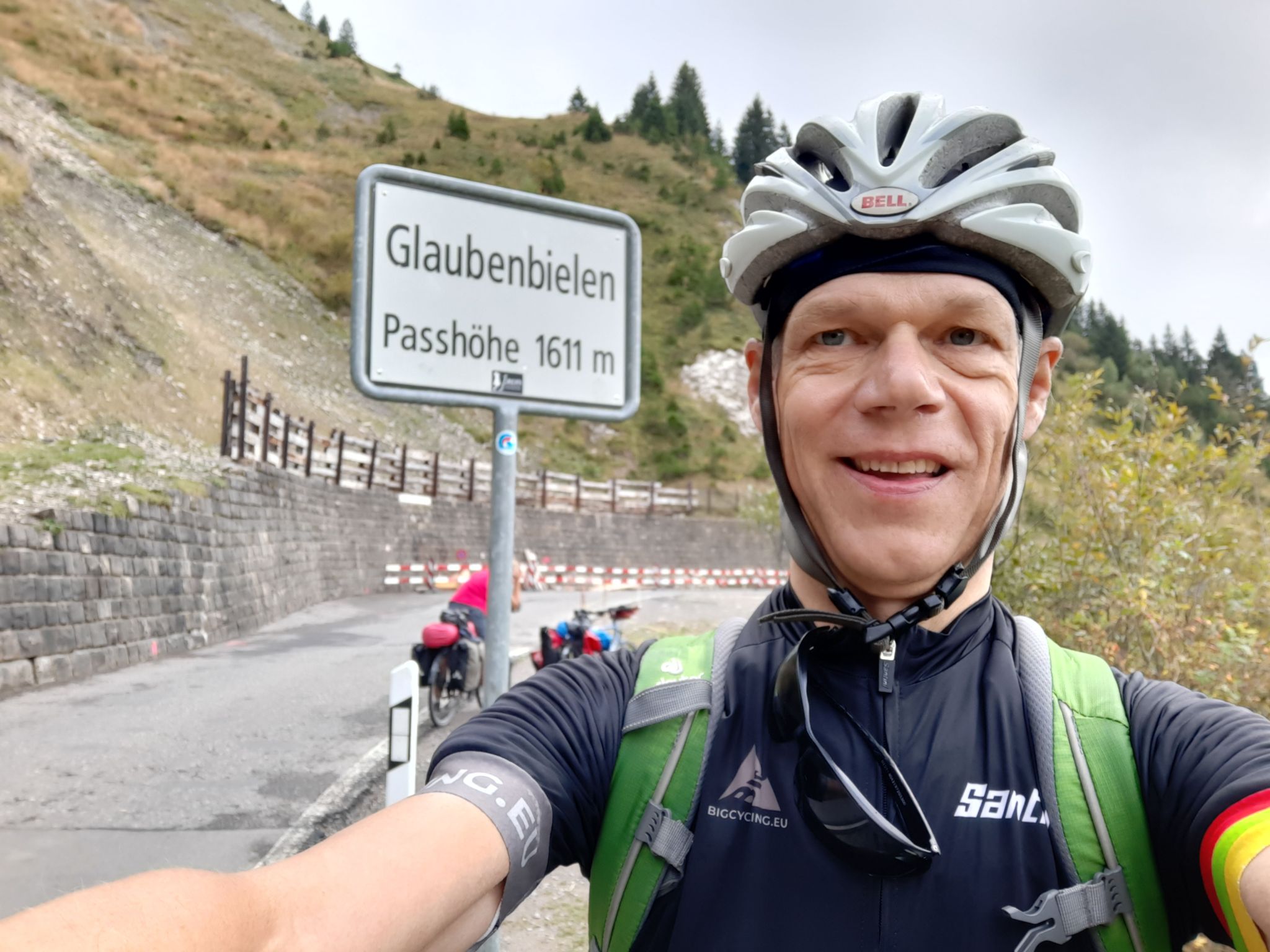
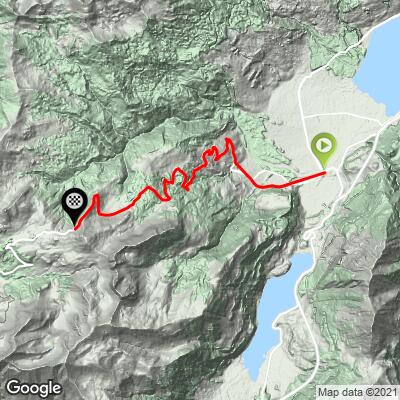
Glaubenbuellpass climbs 12.8 km (7.9 mi) from Giswil, a village on the shore of Lake Sarnen in the Swiss canton of Obwalden, to the 1,603 m (5,258 ft) Glaubenbielen Pass on the border with the canton of Lucerne. The average grade is 8.7% with 1,104 m (3,622 ft) of climbing.
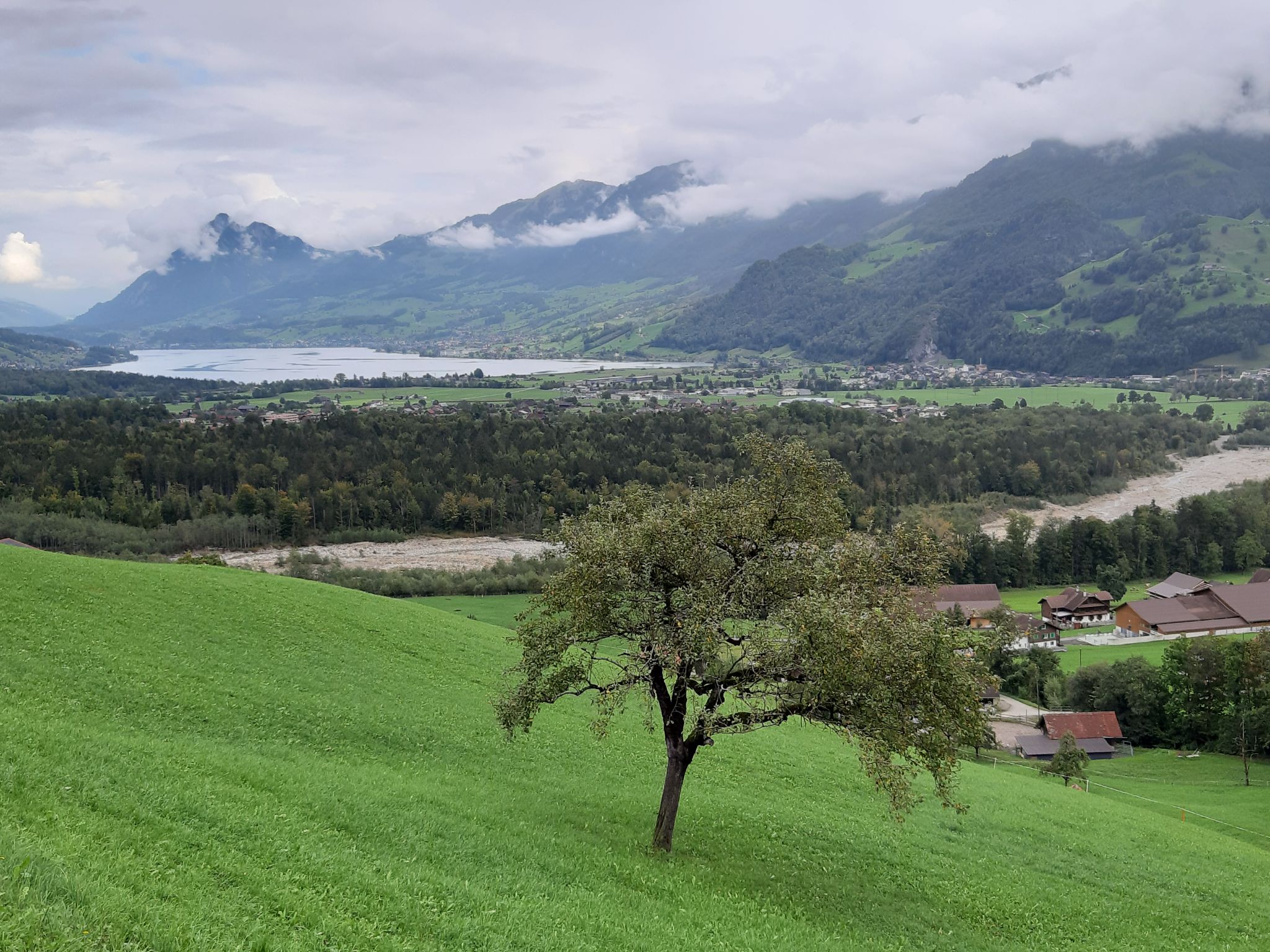
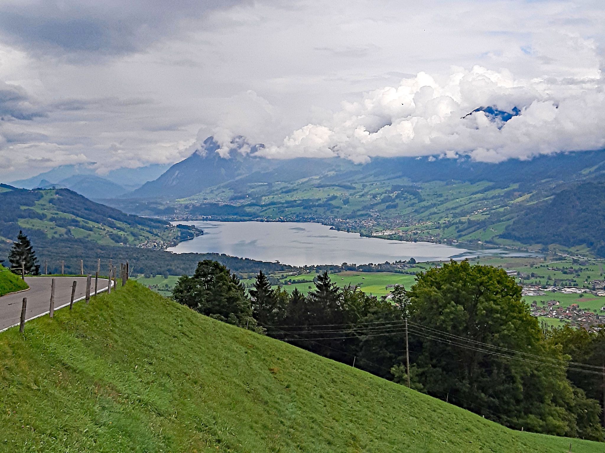
The road is known locally as the Panoramastrasse, and it earns the name - the upper switchbacks open up views back over the Sarnersee valley to Pilatus and the Stanserhorn, while the pass itself looks out over Obwalden's high peaks, including the Titlis and Sustenhorn. It began life as a Swiss military route, with construction starting in 1941 to link the alpine foothills for national defense; the full road wasn't completed and paved until years after the war. Today it's a popular touring road connecting Giswil to Sörenberg and the Flühli/Schüpfheim valley in the UNESCO Biosphere Entlebuch on the far side.
This eastern, Giswil-side approach is the more moderate of the pass's two faces - the descent toward Sörenberg on the other side is notably steeper. Expect a long, steady grind through forest and open alp meadow rather than a series of brutal ramps, with the road's toughest pitches concentrated in the final push to the summit.
PLAN YOUR ROUTE
 We've partnered with Sherpa-Map.com to bring you the best route planning tool. With a PRO Membership you can use this climb as a reference when creating your route.
 Glaubenbuellpass climbs 12.8 km (7.9 mi) at an average grade of 8.7%, gaining 1,104 m (3,622 ft) from Giswil (499 m / 1,636 ft) to the 1,603 m (5,258 ft) summit at the Glaubenbielen Pass. The grade builds steadily rather than spiking hard - the steepest mile averages 9.9%, the steepest half-mile 10.5%, and the steepest 100 yards 12.2%, with the hardest pitches concentrated in the final kilometers below the pass.
Roadway: The Panoramastrasse is paved the entire way from Giswil to the summit and is well maintained as a year-round cantonal touring road when it's open. It's a mountain pass, though, so it's typically closed by snow in winter (roughly December through April) - check Obwalden's road status before planning an off-season ride.
Traffic: Traffic is light to moderate. The Panoramastrasse carries some tourist and motorcycle traffic in summer, especially on weekends, but it's a secondary alpine route rather than a major through road, so cars are infrequent and the shoulder is generally good.
Parking: Giswil has informal street parking near the lakeside and around the train station, a short pedal from the base of the climb. There's no dedicated cyclist lot, but there's room to leave a car near the village center or at the Camping International Giswil site by the lake.
Bike-Atelier, a family-run bike shop in Giswil, is a good resource for a pre-ride check or a last-minute repair before heading up. For food, Restaurant Edith's Alpenrösli in Giswil is a solid option, and the lakeside Camping International Giswil has a bistro open to non-guests. There are no services on the climb itself between Giswil and the summit, so fill bottles and eat before you start; a compact crankset is enough for the sustained but not extreme grade here.
Before heading out on any cycling adventure check out our Things to Bring on a Cycling Trip and use our interactive check list to ensure you don't forget anything.
Giswil sits on the Zentralbahn line between Lucerne and Interlaken, making this an easy half-day objective by train as well as by car. The village is right on Lake Sarnen (Sarnersee), worth a swim or a lakeside coffee before or after the ride. Riders looking to extend the day can continue over the pass and down the steeper Sörenberg side into the Flühli/Schüpfheim valley and the UNESCO Biosphere Entlebuch, or check our Routes in the Area tool for other climbs nearby in Obwalden, including the steep alp road above Lungern a short drive away. The pass is normally rideable from May through October and closed by snow outside that window.
ROUTE MAP
MEMBER RATING
CURRENT WEATHER
PJAMM TRIPS ADVENTURE STARTER BUNDLES
Check out PJAMM Adventure's prepackaged (self-guided) cycling trips. They will help you plan, document and conquer your next adventure.
NEARBY CLIMBS (0) RADIAL PROXIMITY
FROM No Climbs Found
MEMBER REVIEWS & COMMENTS
Let us know what you thought of this climb. Signup for our FREE membership to write a review or post a comment.
Already have an account?
LOG IN HERE