29.6
PDI
6.9 mi
DISTANCE
3,575 ft
GAINED
9.9 %
AVG. GRADE
FULL CLIMB STATS
Page Contributor(s): Helmuth Dekkers, Netherlands
INTRO
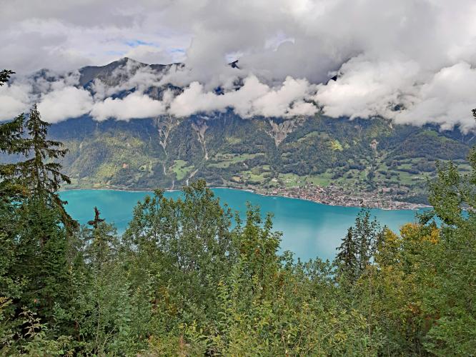
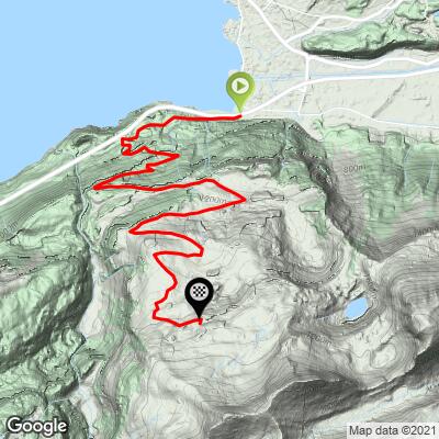
Axalp North climbs 11 km (6.9 mi) and 1,090 m (3,575 ft) from Brienz, on the shore of Lake Brienz (568 m/1,864 ft), to 1,658 m (5,439 ft) near the alpine hamlet of Axalp in the Bernese Oberland. The average grade is a relentless 9.9% - one of the steepest sustained climbs in Switzerland for its length - and the gradient rarely dips below 8% anywhere on the road, with the steepest kilometer averaging 11.5% and short ramps reaching into the mid-teens.
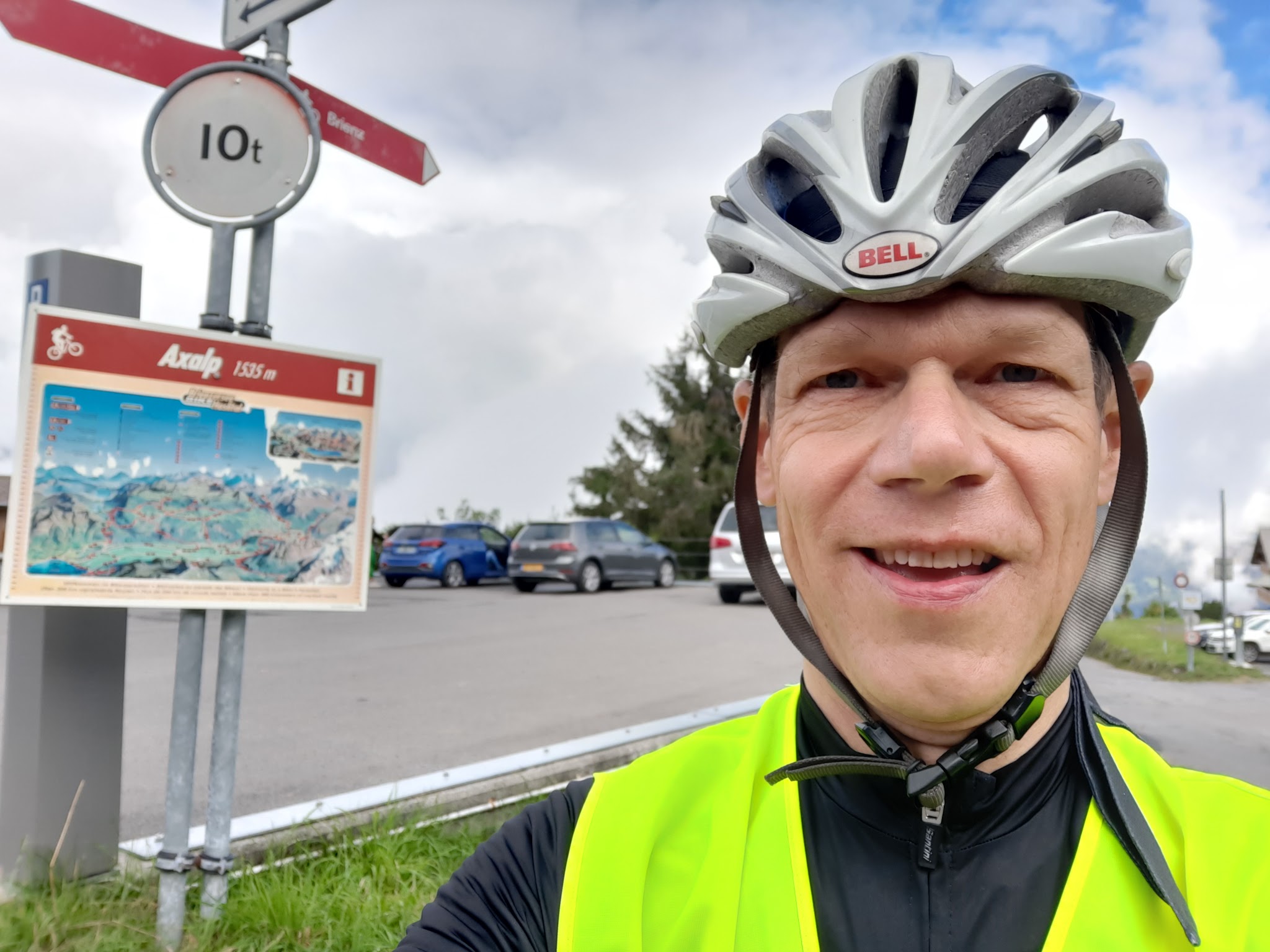
The road, Axalpstrasse, climbs through forest for its early kilometers, which shades riders but also blocks the lake views until gaps open up higher on the mountain. About 1.5 km in, a short detour leads to the Giessbach Falls, a dramatic waterfall worth the stop on the way back down. Around the halfway point, near 4 km, the Restaurant Bramisegg offers a rare chance to refuel; the village sign for Axalp appears around 8.8 km, with the ski area's Sportbahnen parking lot - the usual turnaround point - about a kilometer further.
Axalp is best known outside cycling circles for the Axalp Fliegerschiessen, the Swiss Air Force's live-fire flight demonstration, historically held here most years and known for closing the road to Axalp entirely during show days - though the event did not run in 2025 or 2026, with the next edition planned for 2027, so no closure is expected this year.
PLAN YOUR ROUTE
 We've partnered with Sherpa-Map.com to bring you the best route planning tool. With a PRO Membership you can use this climb as a reference when creating your route.
 Axalp North averages 9.9% over 11 km (6.9 mi) and 1,090 m (3,575 ft) of gain, and unlike many steep climbs, there's little relief built in - the grade rarely drops below 8% anywhere on the road. The steepest 100 yards reaches 13.0%, and sustained over a full kilometer, the steepest section still holds 11.5%.
Widen the window and the numbers barely ease: the steepest quarter mile averages 11.8%, the steepest full mile 10.9%, and even the steepest 5 km stretch - nearly half the entire climb - holds 10.3%. In practice, that means there's no real recovery section on this climb; riders should expect to be working hard in the 9-12% range nearly the whole way from Brienz to Axalp.
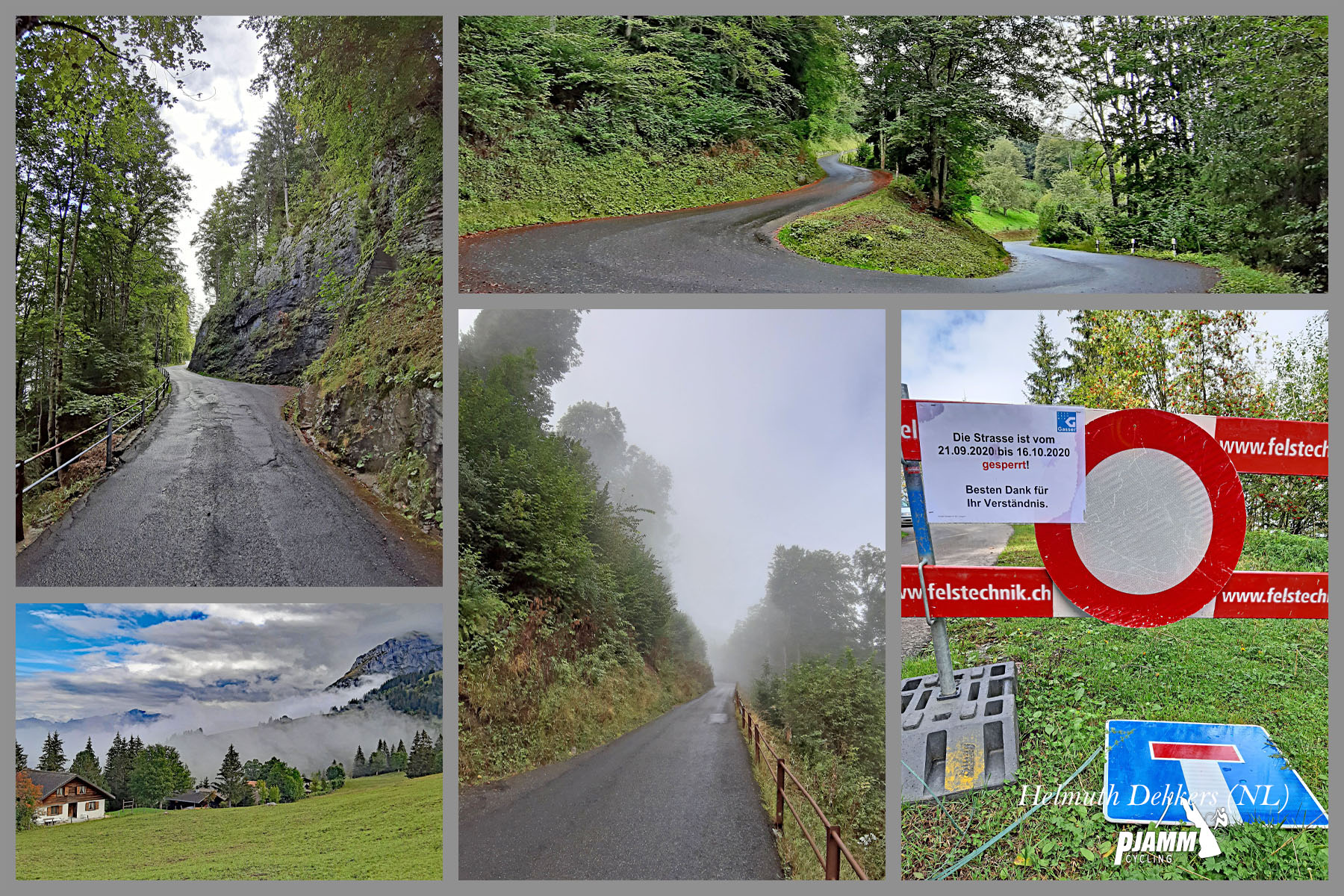
Roadway: The road (Axalpstrasse, becoming Schybergweg near the top) is paved throughout, though multiple rider reports across recent years describe patchy asphalt in places, particularly on the upper switchbacks - take care on the descent, where loose surface and tight turns combine. The climb is also poorly signed for distance remaining or where the top actually is, so a gpx file or cue sheet is worth having. As with other high roads in the Bernese Oberland, expect the upper stretch to be closed by snow outside the main cycling season.
Traffic: Traffic is generally light to moderate throughout, heavier on summer weekends when day-trippers drive up for the views or the ski area, but multiple riders report having the road largely to themselves on quieter days. The road has no dedicated shoulder, so the tight hairpins in the upper third call for extra caution around descending traffic.
Parking: Roadside parking is available in Brienz near the start, on the shore of Lake Brienz. Riders can also start partway up near the Giessbach Falls turnoff (about 1.5 km in) if they'd rather combine the ride with a stop at the falls first.
Brienz has the last reliable shops and cafes before the climb; the Restaurant Bramisegg, roughly halfway up near 4 km, is the only services stop on the mountain itself, so plan water and food around it. Given the sustained 9-12% grade with no flat sections to recover on, a compact crank paired with a wide-range cassette (30-34 teeth or larger) isn't optional here - it's close to a requirement for most riders.
Forest shades the lower half of the climb, but the open upper switchbacks can be hot and exposed in full sun; conversely, temperatures drop fast above 1500 m, so pack a layer for the descent even on a warm day in Brienz.
Before heading out on any cycling adventure check out our Things to Bring on a Cycling Trip and use our interactive check list to ensure you don't forget anything.
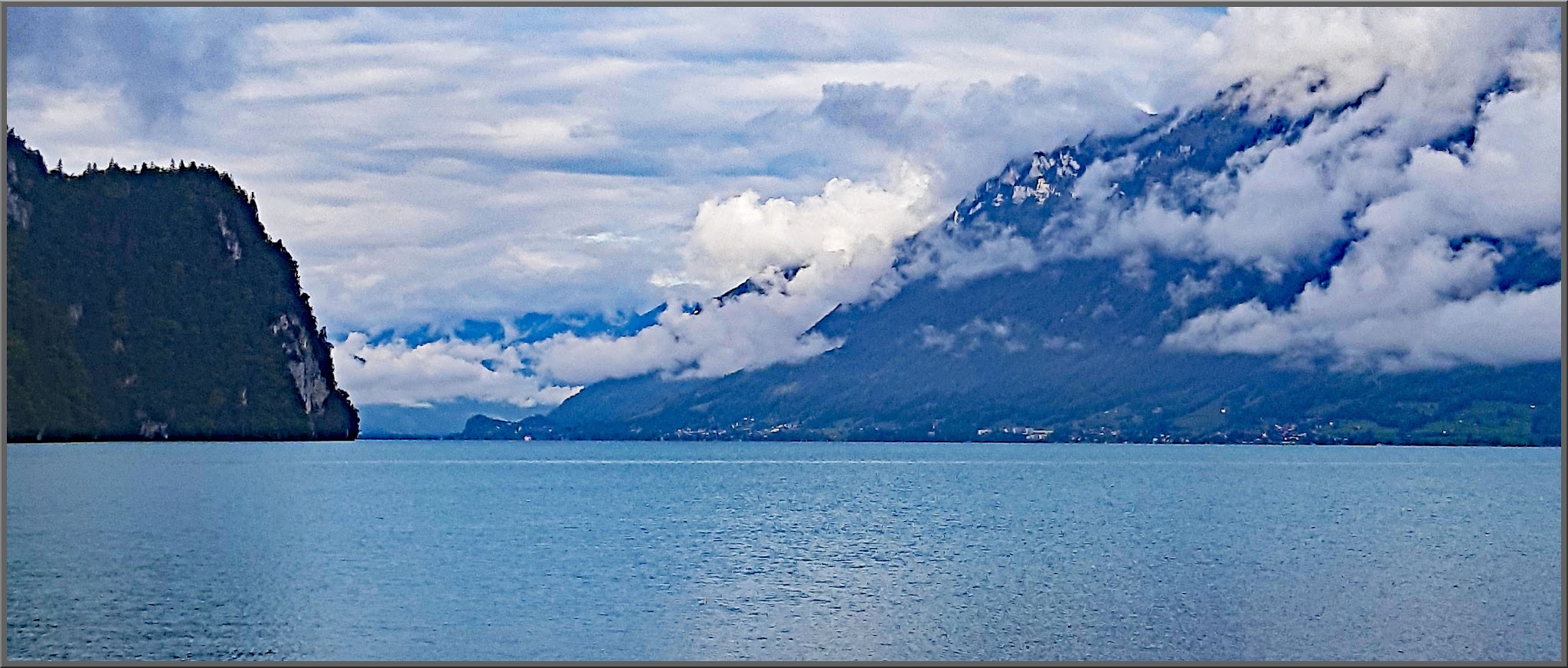
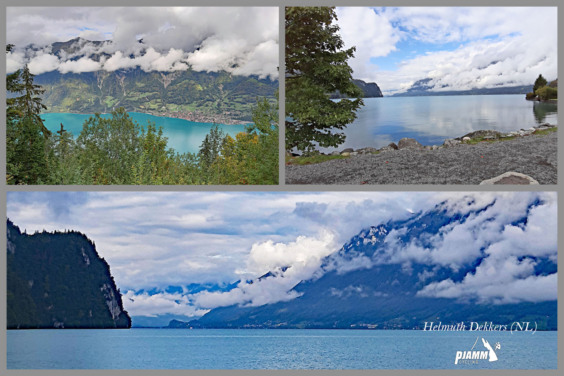
Brienz sits on the eastern end of turquoise Lake Brienz in the Bernese Oberland, a short train ride from Interlaken and well set up with lodging, restaurants, and rail connections for a Swiss Alps base. The town is also known for woodcarving workshops and the Brienzer Rothorn cogwheel railway, both worth a look if you have time beyond the ride.
About 1.5 km into the climb, don't skip the short detour to the Giessbach Falls - a dramatic multi-tier waterfall with a historic funicular and grand hotel, one of the most photographed spots on this side of the lake.
Axalp itself, near the top, is a scattered alpine hamlet with a small ski area rather than a full village center, so this is very much a there-and-back ride - fuel up in Brienz or at Restaurant Bramisegg before you go.
ROUTE MAP
MEMBER RATING
CURRENT WEATHER
PJAMM TRIPS ADVENTURE STARTER BUNDLES
Check out PJAMM Adventure's prepackaged (self-guided) cycling trips. They will help you plan, document and conquer your next adventure.
NEARBY CLIMBS (0) RADIAL PROXIMITY
FROM No Climbs Found
MEMBER REVIEWS & COMMENTS
Let us know what you thought of this climb. Signup for our FREE membership to write a review or post a comment.
Already have an account?
LOG IN HERE