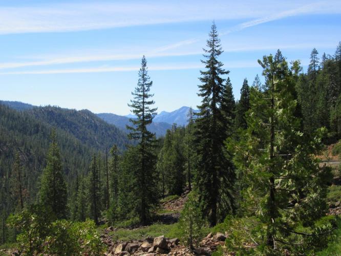
This climb begins at Hwy 3 on the west side of Parks Creek Road (also marked as Forest Route 42N17). We follow Trinity River for the first 10 miles (although it is not always visible from the road) as we slowly ascend towards the summit. This is a long climb with not much grade to it. Looking back to the south as we climb through a broad canyon, we have some spectacular views of heavily forested mountains in the distance. This is the more scenic of the 2 Parks Creek ascents.
![IMG_6243.JPG]()
This roadway is in poor condition, although paved, the entire way. The descent is hazardous due to loose gravel and shaded spots which conceal potholes that can cause pinch flats, or worse, if not avoided. There is little traffic on the road, and other than the roadways condition, this is a safe climb.
![IMG_6244.JPG]()
![IMG_6245.JPG]()
Some rough patches out here.
PJAMM contributor Bryan Fox writes:
It's a little rough. Totally fine going up but you need to keep an eye on it going down. I ride it with 23's all the time. There is a short segment of about 30 or 40 yards that is gravel towards the bottom. It's a great climb though...I much prefer the loop in the counterclockwise direction. Also keep in mind that it's not plowed...some years you can't even drive through until very late spring.
PJAMM contributor Paul Higley says:
Hey John, ya the entire road between the summit & Hwy 3 is paved... But there are sections of potholes and lousy pavement towards the bottom, with one 50' section that's really broken up but rideable.. Be careful at that spot because I had a sidewall blowout on a rock there once and it's a pretty remote spot. Generally it's fine though

 We've partnered with Sherpa-Map.com to bring you the best route planning tool. With a PRO Membership you can use this climb as a reference when creating your route.

