23.8
PDI
16.2 mi
DISTANCE
4,502 ft
GAINED
5.1 %
AVG. GRADE
FULL CLIMB STATS
INTRO
An exceptional and must do climb! We try and save the superlatives for when they truly apply - and they apply to this climb! Mt. Ashland climbs 16.2 miles from the junction of Highway 273 and Highway 66 to the Mt. Ashland Ski Area, gaining 4,502 feet at a 5.1% average grade from 2,272 feet to 6,593 feet. By our rankings it is #88 in the US and #663 in the world, and it sits in the US Top 125 most difficult climbs.
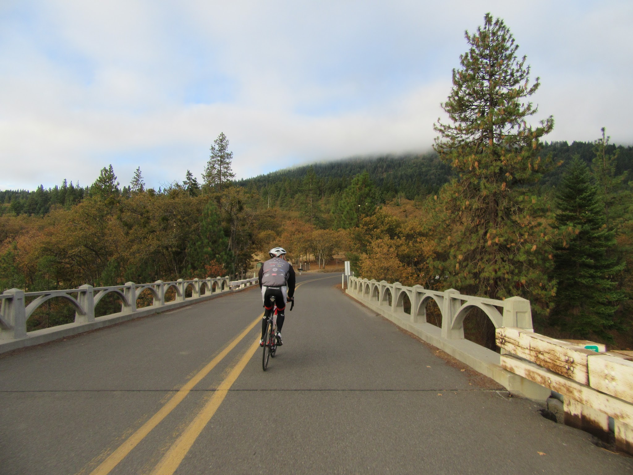
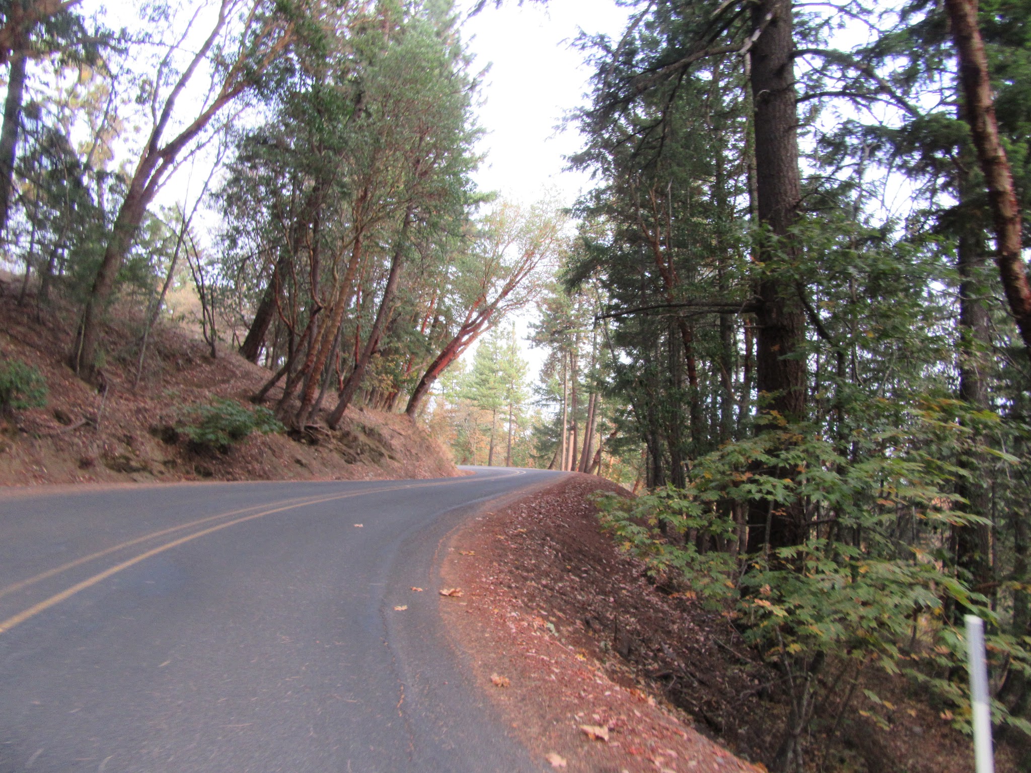
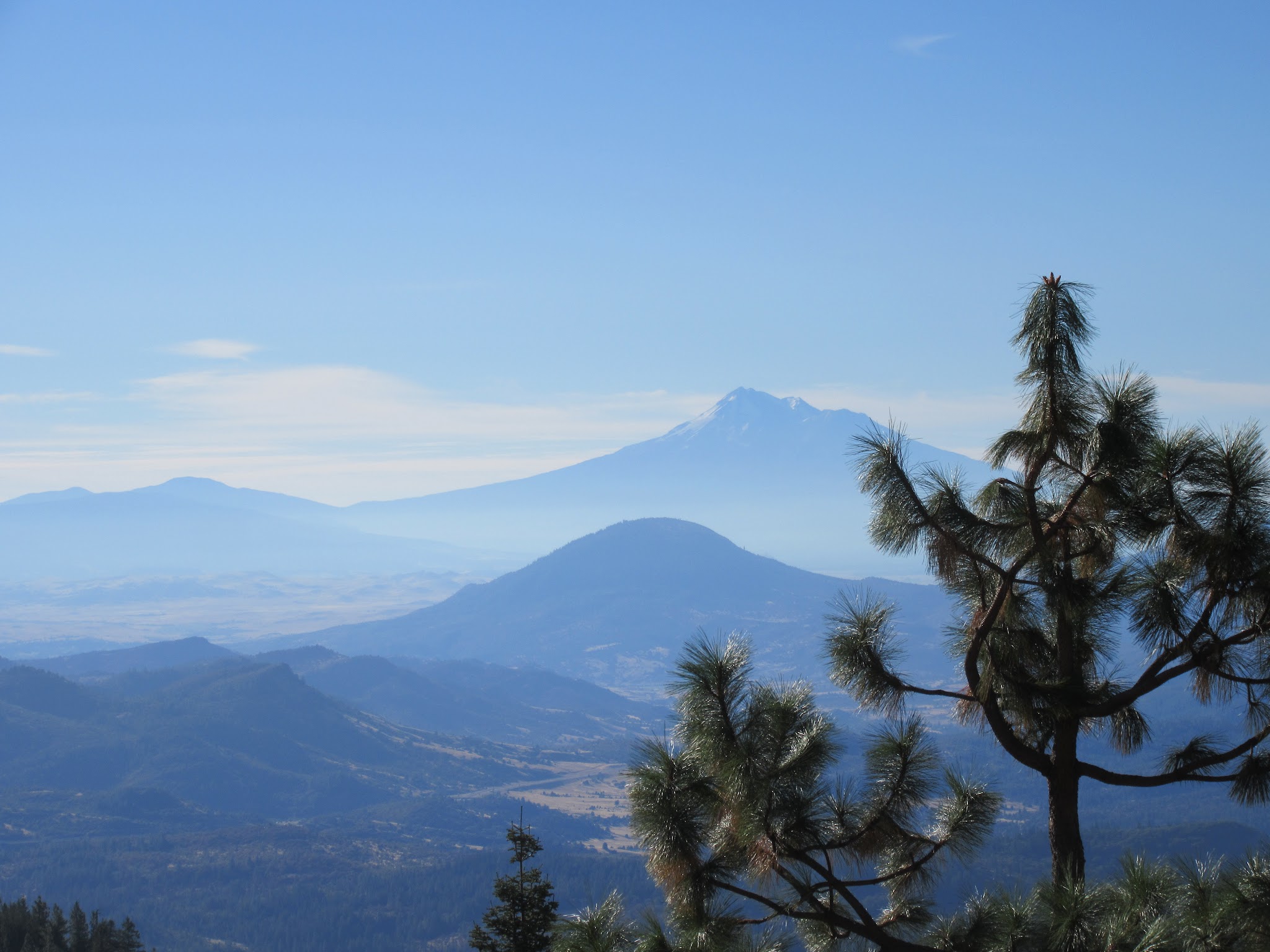
The challenge here is the distance more than the gradient. The first 7.4 miles follow the Old Siskiyou Highway, an old alignment of US 99, through mostly shaded pastureland and forest at about 4.9%, passing under Interstate 5 near mile 6.7. You then turn onto the 8.8-mile Mt. Ashland Ski Road, which opens up with views, including Mt. Shasta about 45 miles to the south, and averages about 5.1% to the finish. Traffic is minimal - ride midweek and you may see almost no cars.
In summer the ski area's lodge has typically opened for food and drink on weekends, but hours change from season to season, so check the Mt. Ashland mountain report before you count on it.
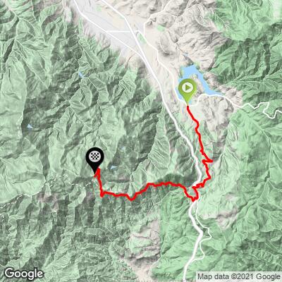
"The ascent begins by taking Old Siskiyou Highway up toward the Mount Ashland Ski Area. After 3.5 slowly increasing grade miles you will ride through a unique 270 degree turn to the left over moderate grade. A tree lined section soon follows as you continue up the hill past a few mountain homes. The route soon opens up and the grade increases a bit as you approach Interstate 5. At mile 6.7 cross under the interstate and turn left at the stop sign..." (This quote is presented with the approval of John Summerson, from his book, The Complete Guide to Climbing (by Bike), 2nd Edition, pg. 209.)
PLAN YOUR ROUTE
 We've partnered with Sherpa-Map.com to bring you the best route planning tool. With a PRO Membership you can use this climb as a reference when creating your route.
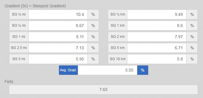
 Mt. Ashland averages 5.1% over 16.2 miles, gaining 4,502 feet from 2,272 feet to 6,593 feet. The grade is steady rather than savage: the first 7.4 miles on Old Siskiyou Highway average about 4.9%, and the final 8.8 miles on the Mt. Ashland Ski Road about 5.1%.
The steepest quarter-mile is 11.4% and the steepest mile 8.2%, and the steepest 5 miles average 5.9%.
Roadway: Old Siskiyou Highway and the Mt. Ashland Ski Road are both paved two-lane roads in good condition, with a shoulder of about two feet in many places. The shoulder can collect sand and gravel left over from winter, so watch for debris early in the season. Riders describe the descent as non-technical.
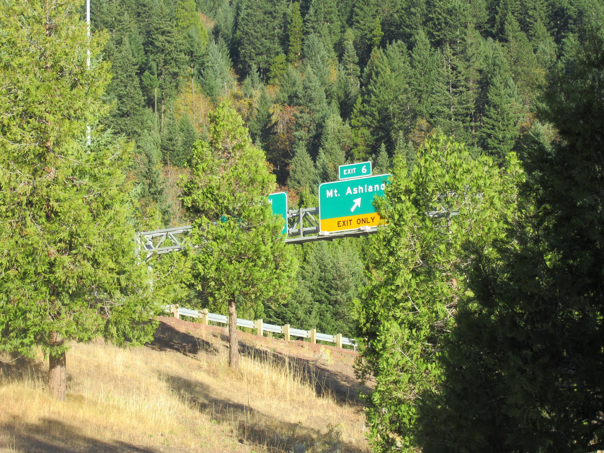
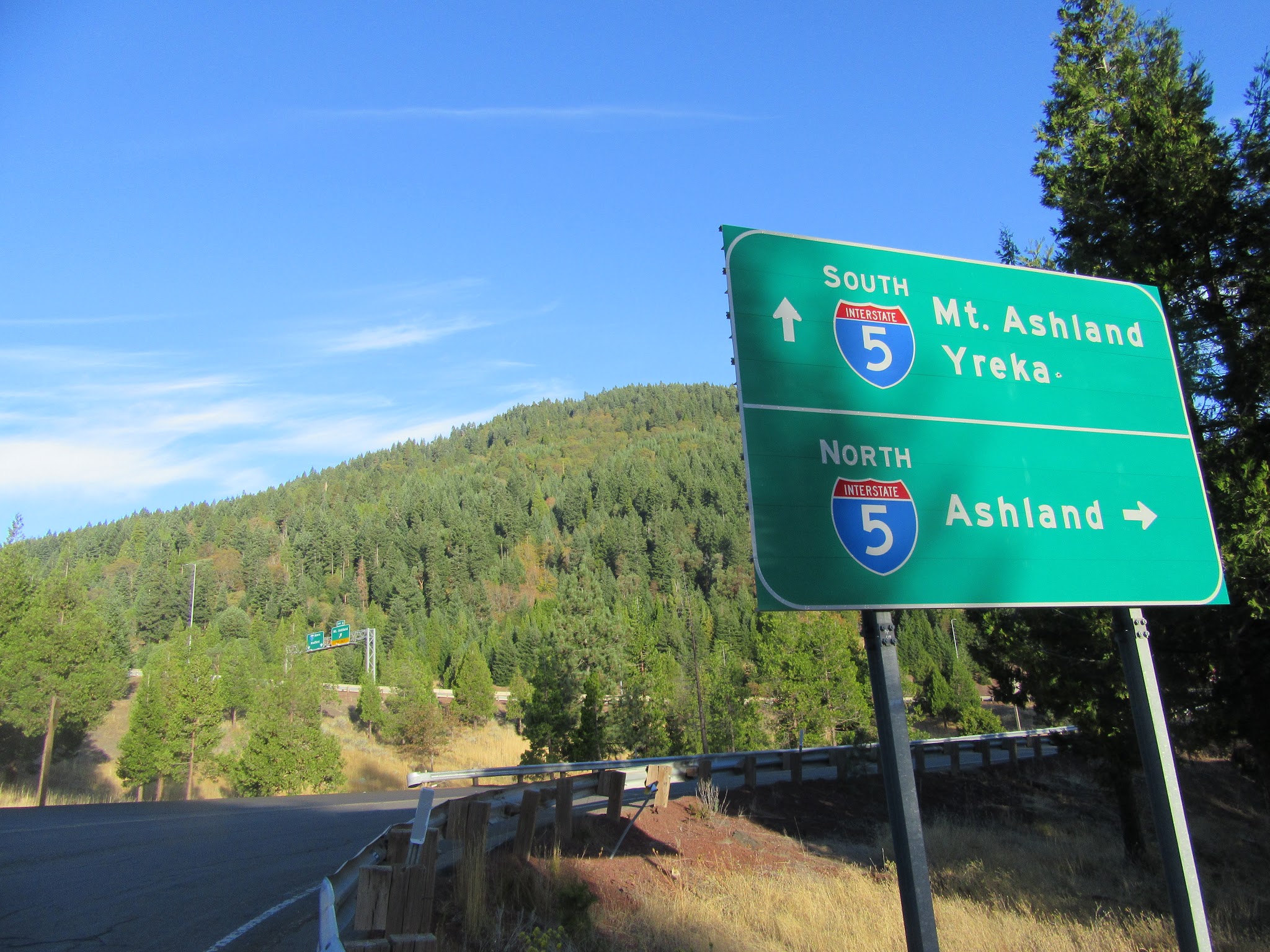
Traffic: Minimal. Ride midweek and you may see almost no cars. The route passes under Interstate 5 around mile 6.6, runs alongside the freeway for about half a mile, and then turns onto the Mt. Ashland Ski Road.
Parking: On the left side of Highway 66 just before the start of the climb - Map; Street View. The start is about seven miles south of Ashland, so you can also ride in from town as a warm-up, or park at the ski area at the top and descend first.
Provisions: There are none on the climb itself. The lodge at the ski area has served food and drink on summer weekends, but check the mountain report before relying on it, and stock up in Ashland before you head out.
Weather: The finish is more than 4,300 feet higher than the start, so it can be much cooler and windier at the top than in the valley. Pack a windproof layer, and check our Weather tool for conditions at the time you expect to arrive at the finish.
Before heading out on any cycling adventure check out our Things to Bring on a Cycling Trip and use our interactive check list to ensure you don't forget anything.
While at first blush a bit of a trek to get to, it's really not as "remote" as it seems on a U.S. map. The start of this climb is only 23 miles from Rogue Valley - Medford International Airport - see Map (however, beware of the bad reviews for this airport).
We know Ashland to be a very popular town for many out-of-area visitors each year - the Oregon Shakespeare Festival runs from roughly February to October, and Lithia Park's 100-plus acres along Ashland Creek are an easy post-ride stroll from downtown. If you are one of those visitors (or fortunate enough to live in the area) and a cyclist, do not miss out on this exceptional climb.
This is a climb that justifies a trip just to ride up Mt. Ashland, or certainly include it in your itinerary if you are in the area for other reasons. Several other routes reach the top of the mountain from different sides, including our Mt. Ashland (NFR 2080) climb - see Routes in the Area to compare them.
ROUTE MAP
MEMBER RATING
CURRENT WEATHER
PJAMM TRIPS ADVENTURE STARTER BUNDLES
Check out PJAMM Adventure's prepackaged (self-guided) cycling trips. They will help you plan, document and conquer your next adventure.
NEARBY CLIMBS (0) RADIAL PROXIMITY
FROM No Climbs Found
MEMBER REVIEWS & COMMENTS
Let us know what you thought of this climb. Signup for our FREE membership to write a review or post a comment.
Already have an account?
LOG IN HERE
MethowBiker
This is a really fun climb! And equally fun descent. Not technical. Do it during the week and you'll have about zero cars. None passed me going down. It's long, but nothing is over 9%, and most is 5-7%. The first part, up Old Siskyou Pass road is pleasant, mostly shaded. Then, after crossing under the freeway (I5), turning on the Mt. Ashland road, it becomes more open and lots of views. The crux are 4 of the last 4.5 miles, which are 7-8%, and you're over 5,000 feet at this point, so less oxygen. Great views of Mount Shasta too.
carlinguernsey
The challenge on this climb is more in the distance than the gradient. It's an enjoyable ride through the lower part with trees, and then the upper part feels more like you are properly in the mountains. A great journey overall! I just parked off the road by the lake near the bottom, but you can also park at the top (or ride from Ashland).