31.4
PDI
7.8 mi
DISTANCE
3,922 ft
GAINED
9.5 %
AVG. GRADE
FULL CLIMB STATS
Page Contributor(s): Ard Oostra, Montreux, Switzerland
INTRO
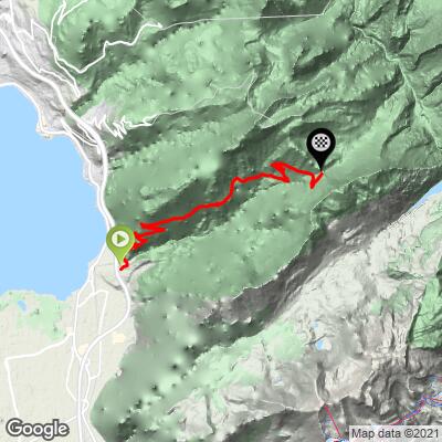
Col de Chaude climbs from Villeneuve, at the eastern tip of Lake Geneva in the canton of Vaud, gaining 3,922 feet at a punishing 9.5% average grade. It's a dead-end road, which keeps it almost entirely free of traffic, but also means there are no services of any kind once you leave town.
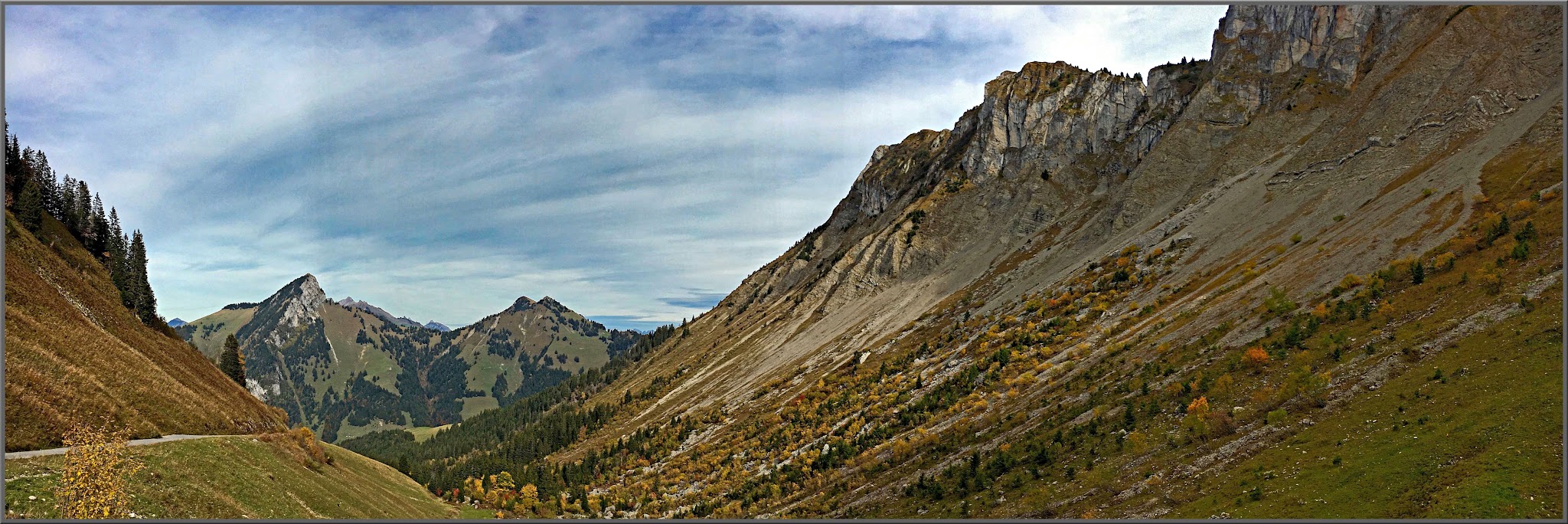
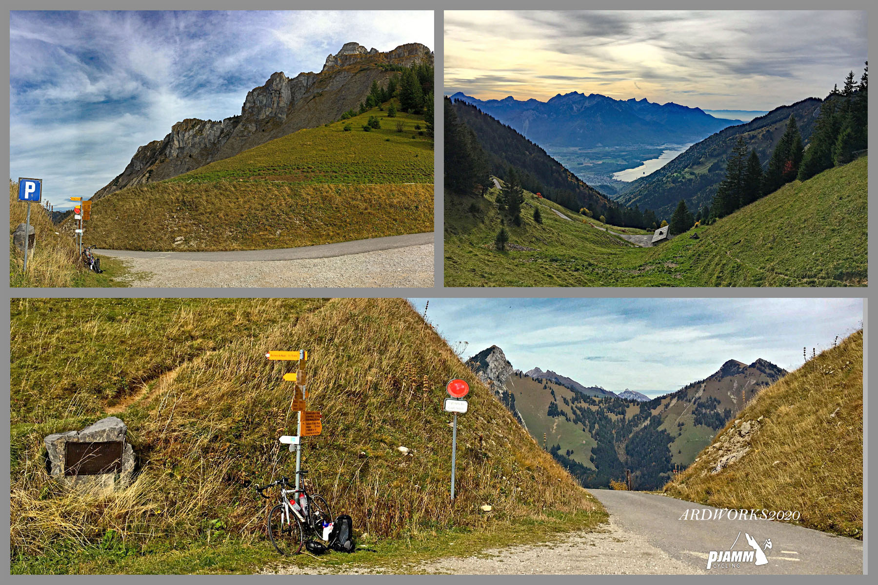
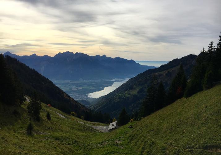
The climb starts in view of the medieval Château de Chillon on the lakeshore before turning up into dense forest for a long, relentless middle section with virtually no flat ground to recover on - riders regularly compare it to the similarly brutal Mont du Chat above Le Bourget-du-Lac. The trees clear in the final couple of miles, opening onto real views back over Lake Geneva; on a clear day, the summit is visible from Evian-les-Bains on the French shore.
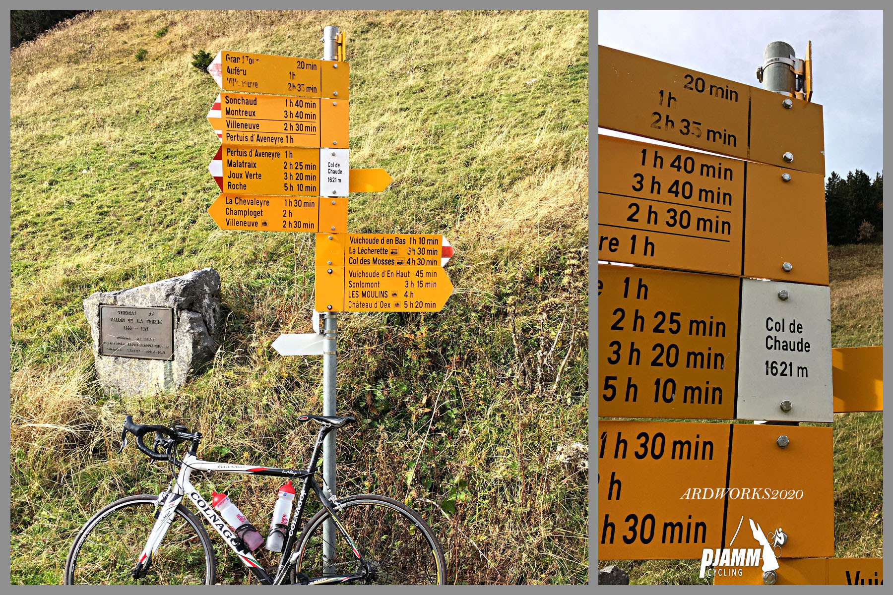
The road is narrow throughout, with tight switchbacks and limited sightlines, and stays that way to the very top at a small col tucked into a fold of the mountain, with an alpine chalet visible on the far side. Because it doesn't lead anywhere, it also sees some of the lightest traffic of any paved climb in the region.
There is nowhere to refill water bottles anywhere on this climb, from Villeneuve all the way to the summit and back down, so carry everything you'll need before you start. Col de Chaude also tends to open earlier in the season than the bigger passes nearby, making it a popular early-year training climb for local riders - check current conditions with our Weather tool before heading out.
PLAN YOUR ROUTE
 We've partnered with Sherpa-Map.com to bring you the best route planning tool. With a PRO Membership you can use this climb as a reference when creating your route.
 Col de Chaude's 9.5% average over 7.8 miles is unrelenting - there's essentially no flat section to recover on anywhere in the climb. The steepest kilometer comes in at 13.7%, and the steepest mile still holds 12.5%. The sharpest pitches arrive in short bursts, with the steepest quarter mile at 18.2% and a brief ramp spiking to 24.2% over 100 yards. Even the easier stretches rarely dip under 8-9%, which is what makes this one of the toughest-rated climbs in the canton of Vaud.
Roadway: The road is paved the entire way to the summit and, because it's a dead end used by almost no one beyond local cyclists and the occasional logging truck, doesn't get the traffic-driven wear or maintenance attention of a through-road. Expect a narrow surface with some rough patches, gravel, and potholes, particularly on the way down - several riders single out the descent as more demanding than the climb itself because of tight, low-visibility switchbacks.
Traffic: Traffic is about as light as it gets for a paved climb this close to Lake Geneva - since the road doesn't continue past the summit, there's essentially no through-traffic, and you may not see another vehicle for the entire middle section.
Parking: There's no need to look for a specific lot - the climb begins right in Villeneuve, near the lakeshore and Château de Chillon, where street parking is readily available.
Villeneuve has shops, bakeries, and cafes for a pre-ride stock-up, and it's your last chance - there is nowhere to buy food or refill water anywhere on the climb itself, all the way to the dead-end summit. Carry more water than you think you'll need; the exposed final miles and the sheer relentlessness of the grade make this a harder climb to ration for than its length suggests.
Before heading out on any cycling adventure check out our Things to Bring on a Cycling Trip and use our interactive check list to ensure you don't forget anything.
Villeneuve makes an easy, walkable base at the quiet end of Lake Geneva, with Montreux and the Château de Chillon both just a few minutes away by bike or train.
Col de Chaude tends to be rideable earlier in the season than the higher passes in the region, so it's worth keeping in your back pocket for an early-year visit when bigger cols are still snowed in. Pair it with a rest-day walk along the lakeshore promenade into Montreux, one of the more scenic short outings in the area.
ROUTE MAP
MEMBER RATING
CURRENT WEATHER
PJAMM TRIPS ADVENTURE STARTER BUNDLES
Check out PJAMM Adventure's prepackaged (self-guided) cycling trips. They will help you plan, document and conquer your next adventure.
NEARBY CLIMBS (0) RADIAL PROXIMITY
FROM No Climbs Found
MEMBER REVIEWS & COMMENTS
Let us know what you thought of this climb. Signup for our FREE membership to write a review or post a comment.
Already have an account?
LOG IN HERE