31.5
PDI
17.5 mi
DISTANCE
5,594 ft
GAINED
5.3 %
AVG. GRADE
FULL CLIMB STATS
Page Contributor(s): Ard Oostra, Montreux, Switzerland
INTRO
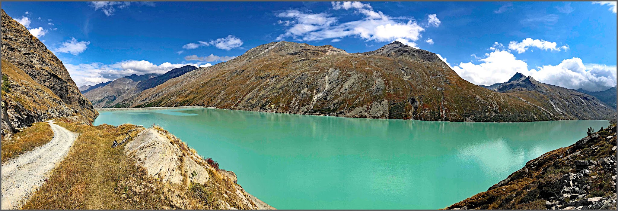
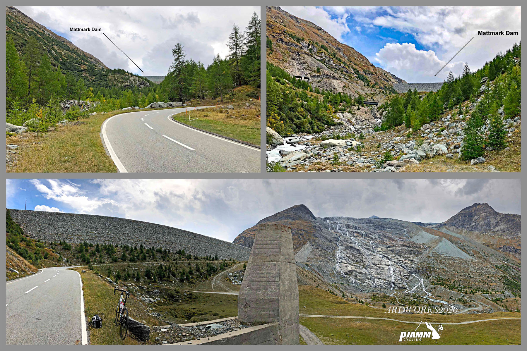
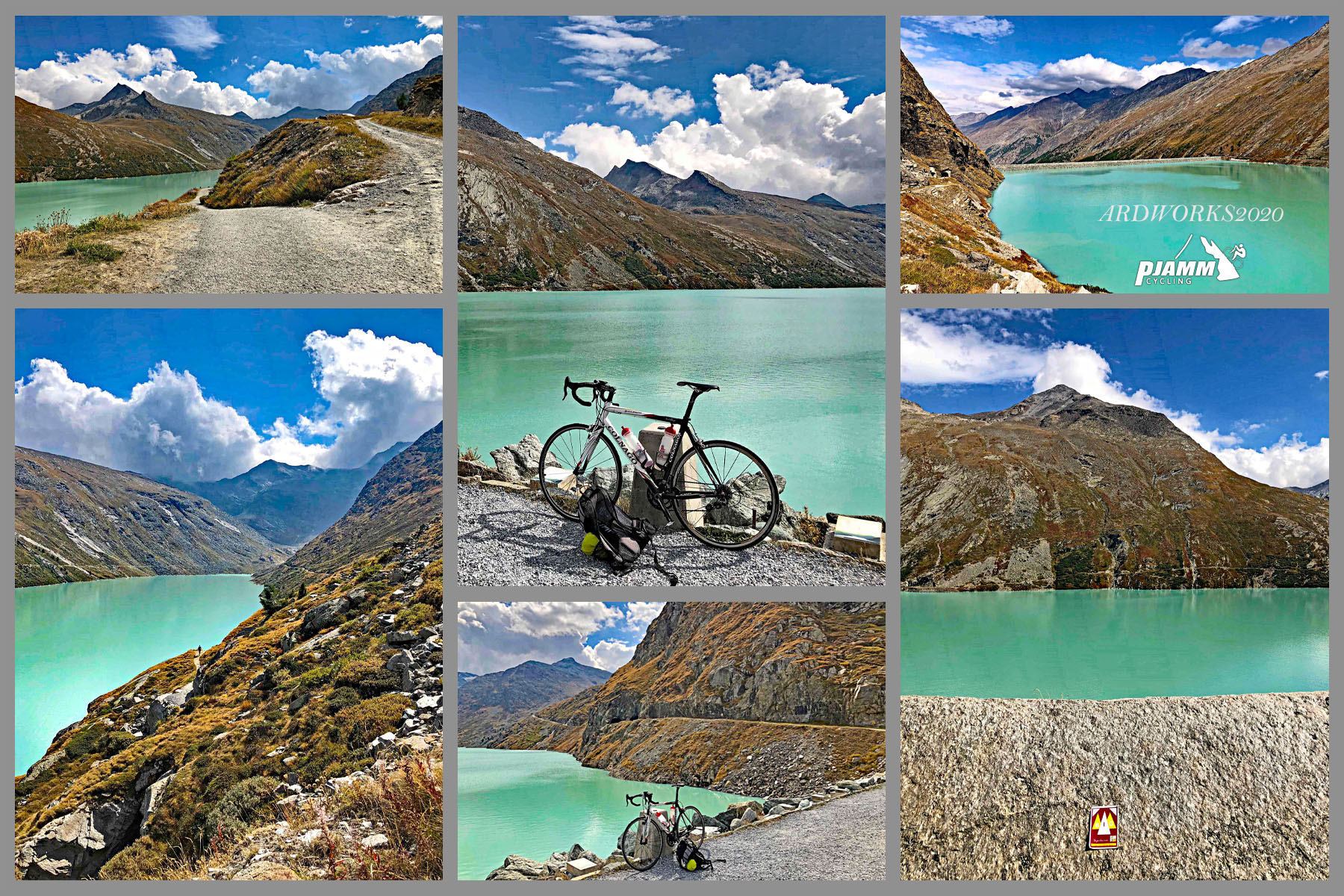
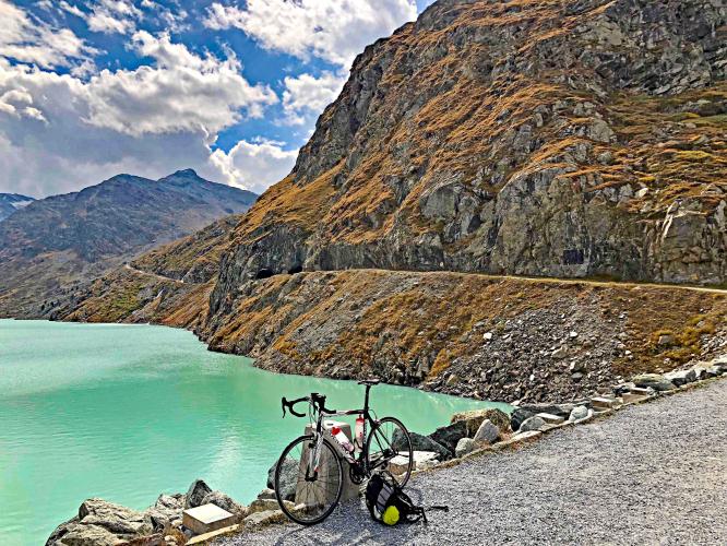
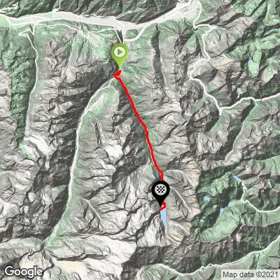
Mattmark climbs 17.5 miles from Stalden, in the Swiss canton of Valais, to the Mattmark Dam at the head of the Saas Valley, gaining 5,594 feet at a 5.3% average grade. The road tops out at 7,248 feet beside the turquoise-blue Mattmark Reservoir, one of the largest earth-fill dams in Europe, deep in the Pennine Alps.
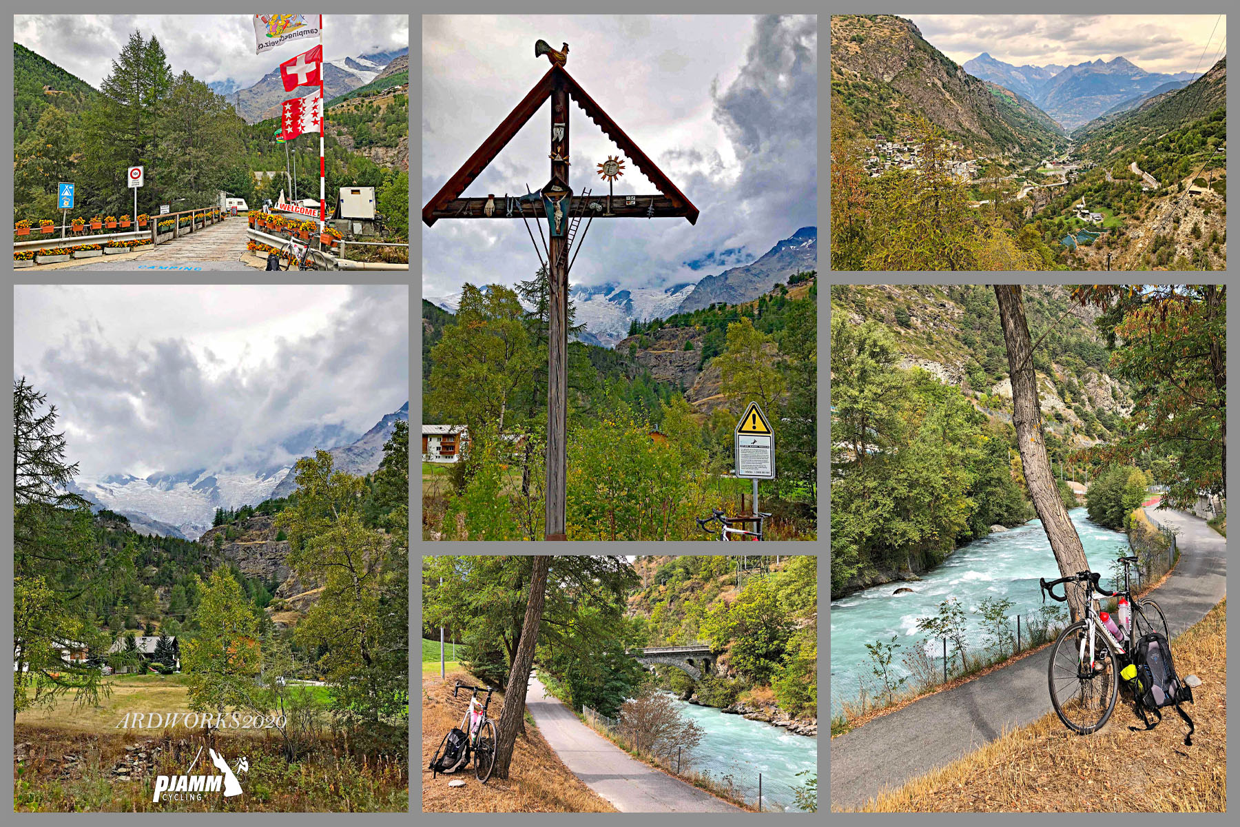
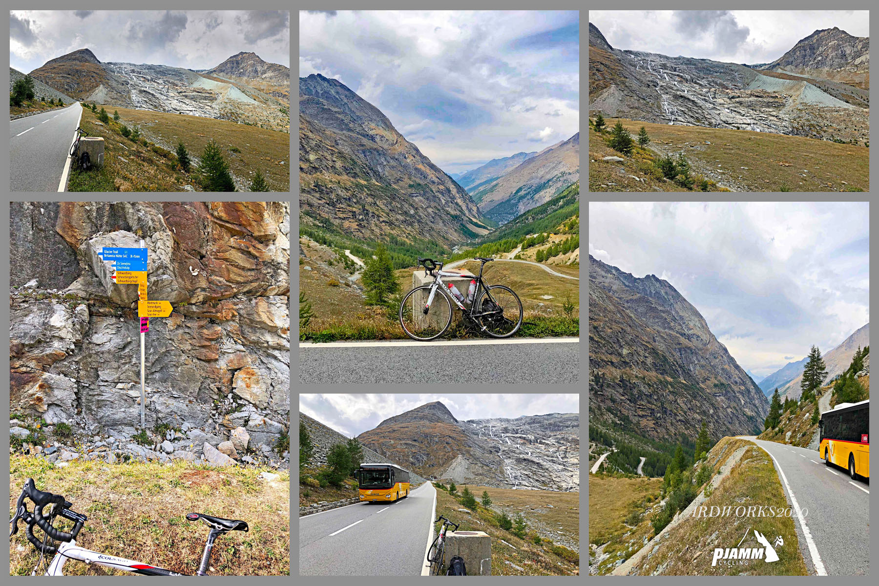
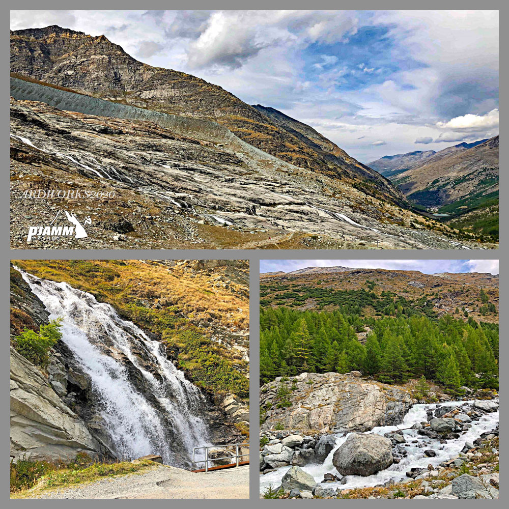
The climb is more an uneven, stair-step grind than one sustained grade - short, sharp pitches into and out of Saas-Balen, Saas-Grund, and Saas-Almagell break up longer, gentler stretches, and the final miles above Saas-Almagell open onto wide alpine pasture with Fletschhorn, Weissmies, and the glaciers above Saas-Fee visible across the valley. It's a genuinely scenic ride through one of the best-known valleys in the Alps for cycling, with several other well-regarded Valais climbs sharing the same Stalden starting point.
The dam itself carries a somber history. During its construction, an avalanche released from the Allalin Glacier on August 30, 1965, burying part of the workers' camp and killing 88 people, 56 of them Italian migrant laborers - still one of the deadliest industrial accidents in Swiss history. A memorial near the dam commemorates the victims.
The road above Saas-Almagell closes to vehicle traffic each winter, typically from mid-November until it's cleared again in spring, so this is strictly a warm-weather climb.
PLAN YOUR ROUTE
 We've partnered with Sherpa-Map.com to bring you the best route planning tool. With a PRO Membership you can use this climb as a reference when creating your route.
 Mattmark's 5.3% average grade hides a lot of variation over its 17.5 miles. The steepest mile comes in at 11.5%, and the steepest kilometer ramps up to 14.7%. There are a few short, sharp ramps too - the steepest quarter mile hits 20.9%, and one brief pitch spikes to 38.2% over 100 yards. Outside of those pitches, most of the climb sits in a manageable 5-7% range, with the final miles above Saas-Almagell easing off toward the dam.
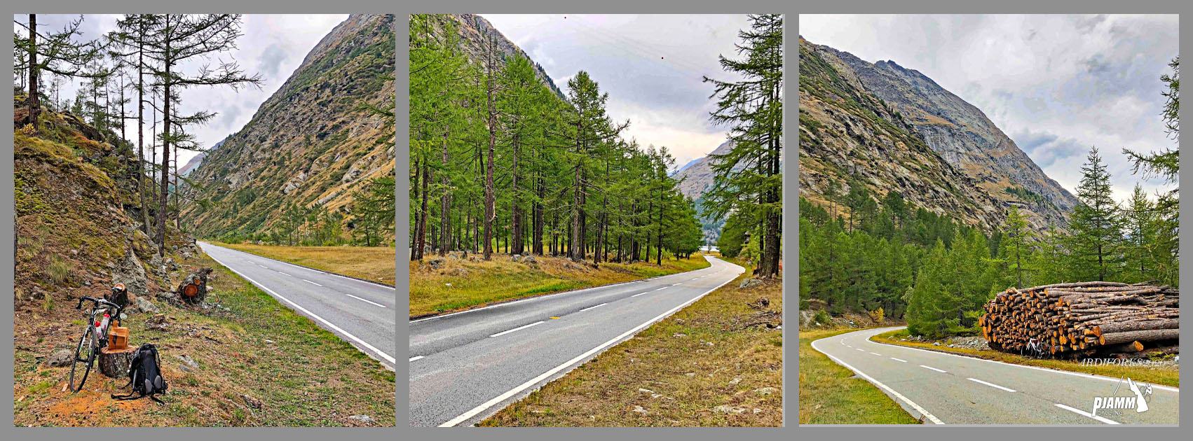
Roadway: The road is paved the entire way from Stalden to the Mattmark Dam and has been in good condition on recent inspections, though the valley has seen real storm damage before - a 2024 landslide closed the road between Stalden and Saas-Almagell for about a week. It's worth checking canton Valais's road status before a visit, especially after heavy rain. The final stretch above Saas-Almagell also closes to vehicles every winter, typically from mid-November into spring, so this climb is only rideable in the warmer months.
Traffic: Traffic is light to moderate through Saas-Balen and Saas-Grund, where local and PostBus traffic mixes with visitors headed up the valley. It thins out noticeably above Saas-Almagell, where most remaining vehicles are either bound for the dam's parking area or turning off toward other side valleys, leaving the final miles to the reservoir quiet.
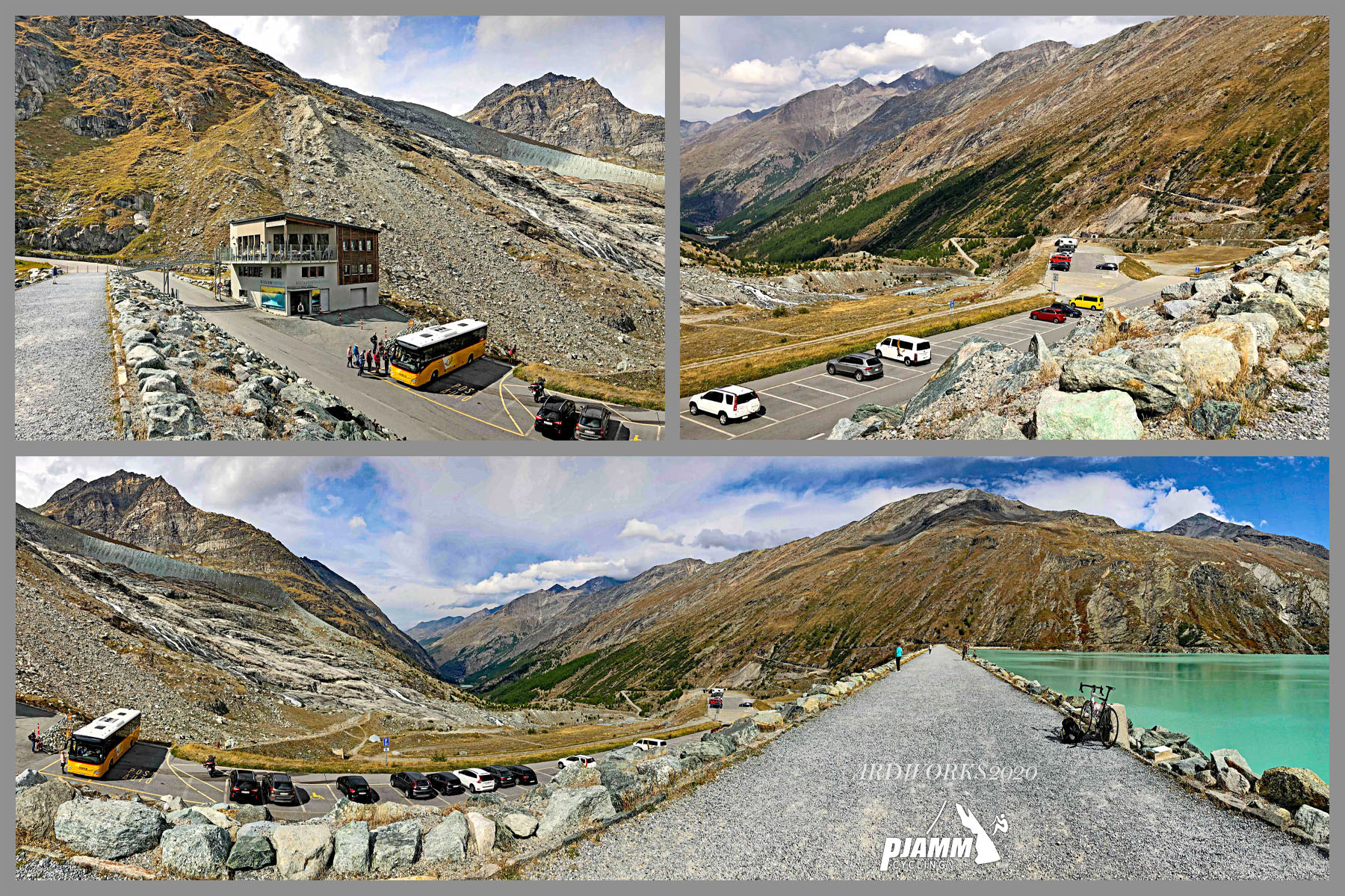
Parking: Saas-Almagell's village center has free roadside parking near the church, a good option if you'd rather ride only the steeper closing miles to the dam. There's also a paid lot (about CHF 5 per day) at the end of the road in Saas-Almagell, and a paid lot directly at the dam for those who drive the whole way up before riding the loop around the reservoir.
Stalden, Saas-Balen, Saas-Grund, and Saas-Almagell all have shops, bakeries, and restaurants for a pre-ride stock-up, with Saas-Grund and Saas-Almagell being the last real villages before the long final stretch to the dam.
At the top, Restaurant Mattmark sits right on the reservoir at about 2,205 meters with food, drinks, and a view toward the Monte Moro Pass - a good reason to carry a bit less water than you might otherwise for a climb this long, though its hours are seasonal and tied to the PostBus schedule, so don't count on it outside the main summer season.
Before heading out on any cycling adventure check out our Things to Bring on a Cycling Trip and use our interactive check list to ensure you don't forget anything.
Base yourself in Saas-Grund or Saas-Almagell, both quieter and less expensive than Saas-Fee up the adjoining valley, with the PostBus offering an easy way to shuttle back down if you'd rather ride only one direction.
Summer is the only realistic window - the road above Saas-Almagell is closed to vehicles from around mid-November until it's cleared again in spring, and even in July and August the reservoir sits high enough to be noticeably colder than the valley floor.
Pair Mattmark with a trip up to Saas-Fee itself, or with one of the other well-known Saas Valley climbs that share the same Stalden starting point - check out the Routes In Area tool for more info on those.
ROUTE MAP
MEMBER RATING
CURRENT WEATHER
PJAMM TRIPS ADVENTURE STARTER BUNDLES
Check out PJAMM Adventure's prepackaged (self-guided) cycling trips. They will help you plan, document and conquer your next adventure.
NEARBY CLIMBS (0) RADIAL PROXIMITY
FROM No Climbs Found
MEMBER REVIEWS & COMMENTS
Let us know what you thought of this climb. Signup for our FREE membership to write a review or post a comment.
Already have an account?
LOG IN HERE