27.5
PDI
9.9 mi
DISTANCE
4,018 ft
GAINED
7.7 %
AVG. GRADE
FULL CLIMB STATS
Page Contributor(s): Ard Oostra, Montreux, Switzerland
INTRO
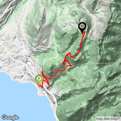
Le Molard climbs 15.9 km (9.9 mi) from the Vernex district of Montreux, on the shore of Lake Geneva, up to about 1,638.0 m (5,374 ft) at a 7.7% average grade, gaining roughly 1,224.7 m (4,018 ft) along the way. The road climbs almost the entire elevation of the Vaud Prealps in one continuous effort, from lakeside vineyards to open subalpine pasture.
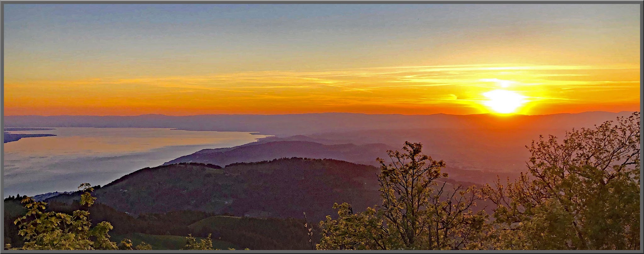
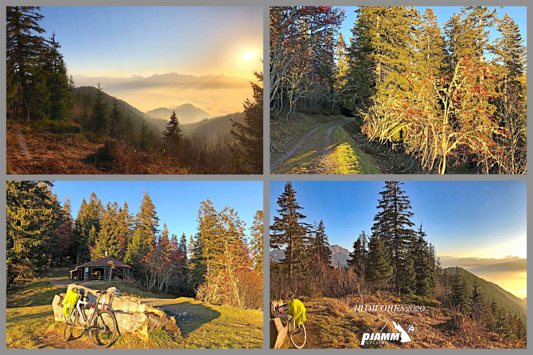
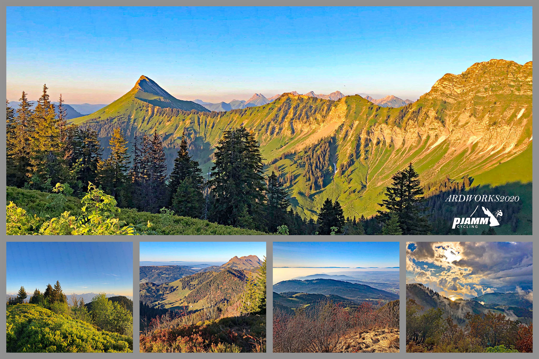
The route winds up through Sonloup and past La Cergniaulaz to the Col de Soladier (1,577 m) before finishing on the paved road just below the true summit of Le Molard (1,752 m), which requires a short final hike beyond where the tarmac ends. Along the way, the road offers increasingly wide views back down over Montreux and Lake Geneva, with the French Alps visible across the water on a clear day.
This is one of several demanding climbs that fan out from Montreux into the hills above the lake, alongside the Col du Jaman and Plan de Chatel - Le Molard shares its starting area with Plan de Chatel in the Vernex district before the routes diverge higher up.
PLAN YOUR ROUTE
 We've partnered with Sherpa-Map.com to bring you the best route planning tool. With a PRO Membership you can use this climb as a reference when creating your route.
 Le Molard gains 1,224.7 m (4,018 ft) over 15.9 km (9.9 mi) for a 7.7% average - a long, steady effort rather than a series of brutal ramps. Our data shows the steepest 5 km (3.1 mi) of the route averaging 11.0%, concentrated in the middle section as the road climbs out of the Montreux hillside villages toward Sonloup.
The steepest sustained riding comes in the steepest 2 km (1.2 mi), which averages 12.9%, with the steepest quarter-mile reaching 14.1%. The final kilometers toward the Col de Soladier ease slightly compared to the middle of the climb, giving a chance to recover before the finish.
Roadway: The road is paved the entire way, including the final stretch up to the Col de Soladier area, though the last kilometers narrow noticeably as the route leaves the villages behind for forest and open pasture. Surface quality is generally good, typical of a well-maintained secondary Vaud mountain road; as with any high, shaded prealpine road, it's worth checking for winter/spring snow lingering into late season before an early or late ride.
Traffic: Traffic is moderate through the lower villages above Montreux, where local residential and tourist traffic mixes with the climb, then thins out considerably above Sonloup. The upper stretch toward La Cergniaulaz and the Col de Soladier carries mostly other cyclists, hikers driving to the trailhead, and very little through-traffic, since the road doesn't connect onward to any major route.
Parking: Riders wanting to do only the upper, quieter section can start from the La Cergniaulaz car park, a real trailhead used by hikers heading up to Le Molard and the Col de Soladier. For the complete climb from Lake Geneva, simple street parking is available in the Vernex district of Montreux, the same starting area used by the nearby Plan de Chatel climb.
Montreux has every service a cyclist could need - bike shops, grocery stores, cafes - so there's no reason to carry more than a normal day's food and water out of town. There's little to nothing in the way of shops once you're above the villages, aside from occasional seasonal mountain restaurants (buvettes) in the Sonloup/Cergniaulaz area, so don't count on a resupply higher up.
Standard road gearing works for most of the climb, though a compact setup helps through the steepest middle section. Temperatures and wind pick up noticeably above Sonloup compared to lakeside Montreux, so pack a light shell for the descent even on a warm day by the lake.
Before heading out on any cycling adventure check out our Things to Bring on a Cycling Trip and use our interactive check list to ensure you don't forget anything.
Montreux is a well-known resort town on Lake Geneva with a full range of hotels and easy rail access along the lakeshore, making it a comfortable, well-connected base for tackling Le Molard and its neighboring climbs. The Montreux Jazz Festival and the town's lakefront promenade are worth building extra time around if your trip isn't purely about the riding.
Le Molard is one of several serious climbs radiating out from Montreux into the Vaud Prealps - the Col du Jaman and Plan de Chatel both start from the same general area and offer a genuine multi-day riding base without changing hotels. See our Routes in the Area tool to explore what else is nearby before planning a multi-climb trip around the Montreux Riviera.
ROUTE MAP
MEMBER RATING
CURRENT WEATHER
PJAMM TRIPS ADVENTURE STARTER BUNDLES
Check out PJAMM Adventure's prepackaged (self-guided) cycling trips. They will help you plan, document and conquer your next adventure.
NEARBY CLIMBS (0) RADIAL PROXIMITY
FROM No Climbs Found
MEMBER REVIEWS & COMMENTS
Let us know what you thought of this climb. Signup for our FREE membership to write a review or post a comment.
Already have an account?
LOG IN HERE