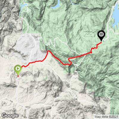
23.8
PDI
16.4 mi
DISTANCE
4,566 ft
GAINED
5.2 %
AVG. GRADE
FULL CLIMB STATS
INTRO
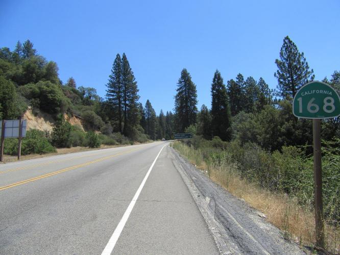
The first 4.3 miles of this ride are along a fairly heavily traveled highway where vehicles pass at high speed. There is a bike lane along this portion of the climb, but the high speed traffic makes this an unpleasant portion of the ride and the views are uninspiring. We gain 734’ at an average grade of 3%, so beginning at the intersection of Lodge Road and Hwy 168 is a viable option for this climb (12 miles/3,739’/5.9%) .
"168 is a tough climb up into the Sierras that shares its finish with [Tollhouse Road]. At five miles the road becomes four lane and the grade from this point forward becomes steeper and more consistent. This route carries much more traffic than Tollhouse Road..." (This quote is presented with the approval of John Summerson, from his book, The Complete Guide to Climbing (by Bike) in California, pg. 151.)
PLAN YOUR ROUTE
See more details and tools regarding this climb's grade via our interactive Profile Tool.
Information Not Available
If you have any information regarding this climb, we'd like to hear from you. Click the CONTRIBUTE button to share your thoughts with us.
Information Not Available
If you have any information regarding this climb, we'd like to hear from you. Click the CONTRIBUTE button to share your thoughts with us.
Before heading out on any cycling adventure check out our Things to Bring on a Cycling Trip and use our interactive check list to ensure you don't forget anything.
The town of Prather is about 1.5 miles from the beginning of the climb and has a couple of gas stations and deli.
ROUTE MAP
MEMBER RATING
CURRENT WEATHER
PJAMM TRIPS ADVENTURE STARTER BUNDLES
Check out PJAMM Adventure's prepackaged (self-guided) cycling trips. They will help you plan, document and conquer your next adventure.
NEARBY CLIMBS (0) RADIAL PROXIMITY
FROM No Climbs Found
MEMBER REVIEWS & COMMENTS
Let us know what you thought of this climb. Signup for our FREE membership to write a review or post a comment.
Already have an account?
LOG IN HERE