36.1
PDI
20.5 mi
DISTANCE
6,363 ft
GAINED
5.4 %
AVG. GRADE
FULL CLIMB STATS
Page Contributor(s): Ard Oostra, Montreux, Switzerland; Ritse Klink, Ruud vd Brink, Paul Cornelisse and Fred Feeke, Bussum the Netherlands.
INTRO
Glacier de Moiry is a 20.5-mile climb from Chippis, in Switzerland's Rhone Valley, up into the Val d'Anniviers to the Moiry dam at 7,703 feet, gaining 6,363 feet along the way at a 5.4% average grade. It's one of the HC climbs that make the Swiss Rhone Valley one of the great cycling regions in the Alps.
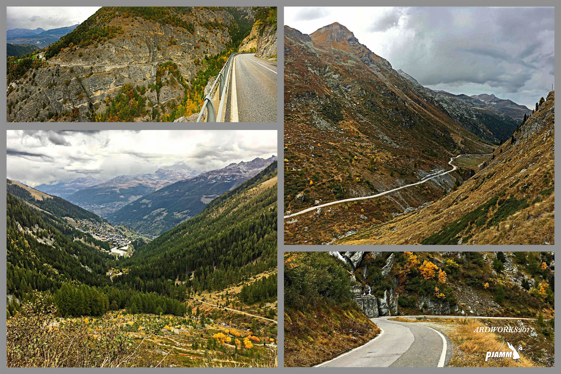
The route winds through Briey and Vercorin before dropping into the valley through Mayoux and Saint-Jean, then climbing back out through Grimentz - widely considered one of Switzerland's prettiest villages - with the Matterhorn and Dent Blanche visible in the distance. The grade is uneven rather than steady: a long, rolling middle section gives way to a genuinely hard finish, including a full kilometer above 16% around mile 15, before a 300-meter tunnel near the lake leads out to the dam.
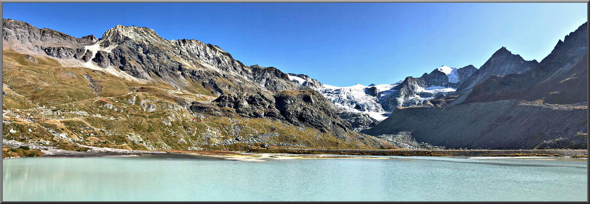
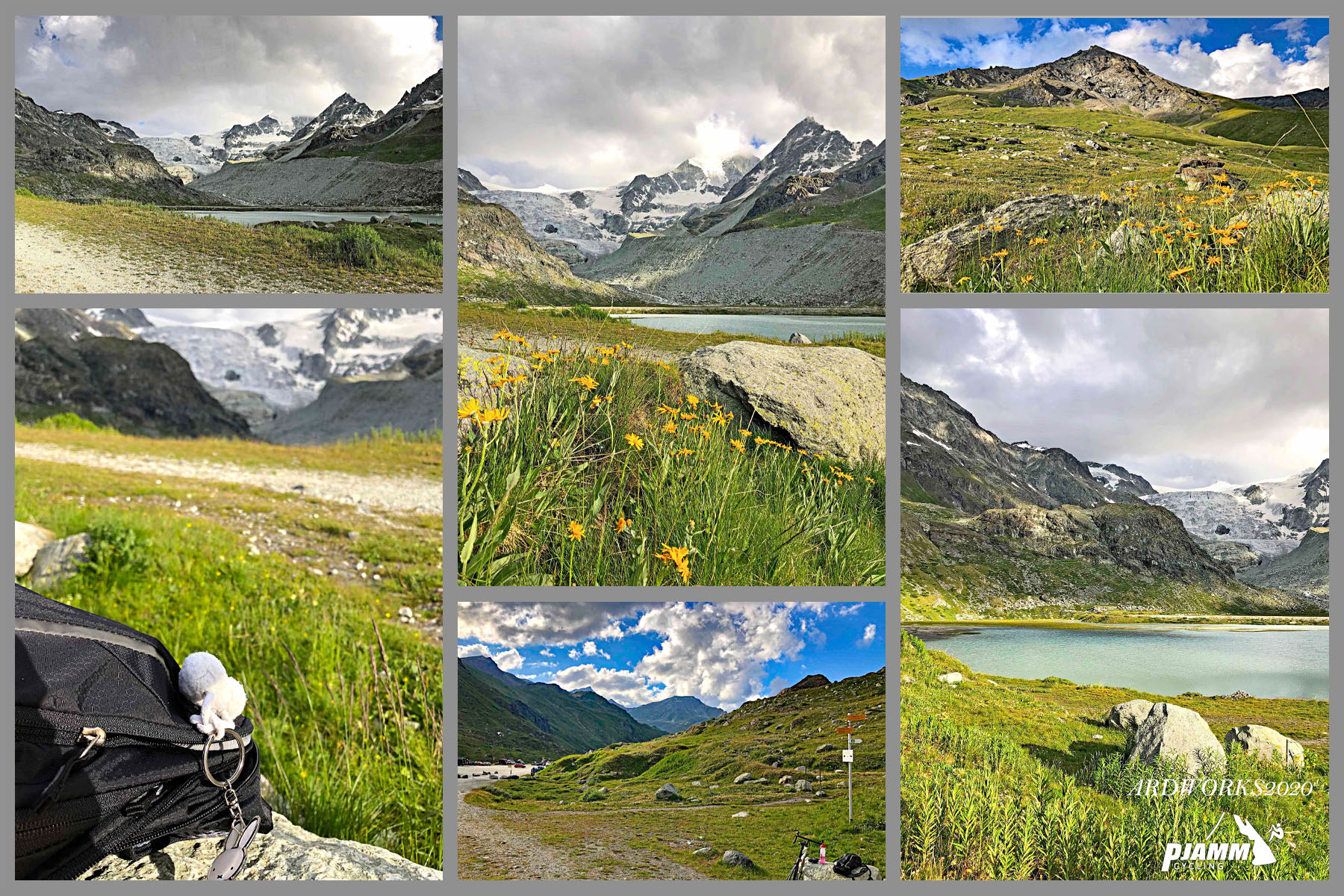
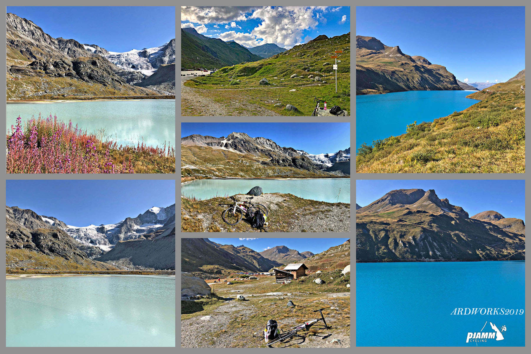
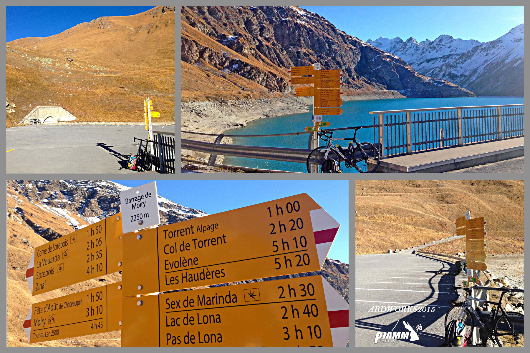
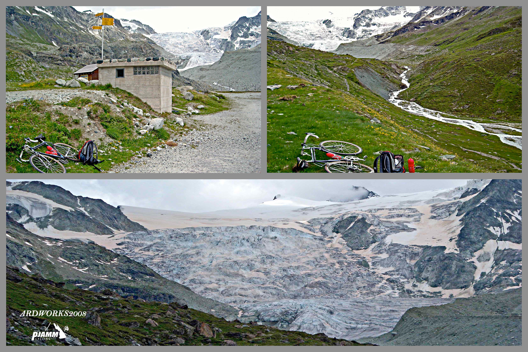
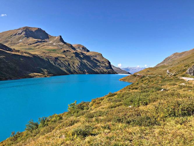
The road ends at the crown of the Moiry dam, overlooking a turquoise lake and the Moiry Glacier itself, which has retreated substantially over the past century - it ran over 6 kilometers long in the early 1900s and is roughly a kilometer shorter today. The climb is also the centerpiece of an annual cyclosportive each summer that closes sections of the road to cars for a few hours.
PLAN YOUR ROUTE
 We've partnered with Sherpa-Map.com to bring you the best route planning tool. With a PRO Membership you can use this climb as a reference when creating your route.
 The average grade is a modest-sounding 5.4% over 20.5 miles, but that number covers a lot of very different terrain - long, rolling stretches through the Val d'Anniviers are followed by a genuinely hard finish.
The hardest section is a full kilometer averaging 16.5% around mile 15, with another two kilometers at 12.6% just before it. The grade eases somewhat after that, but expect a demanding final few miles into the dam - riders consistently describe the stretch between Grimentz and the top as sitting in the 9-13% range with little real recovery.
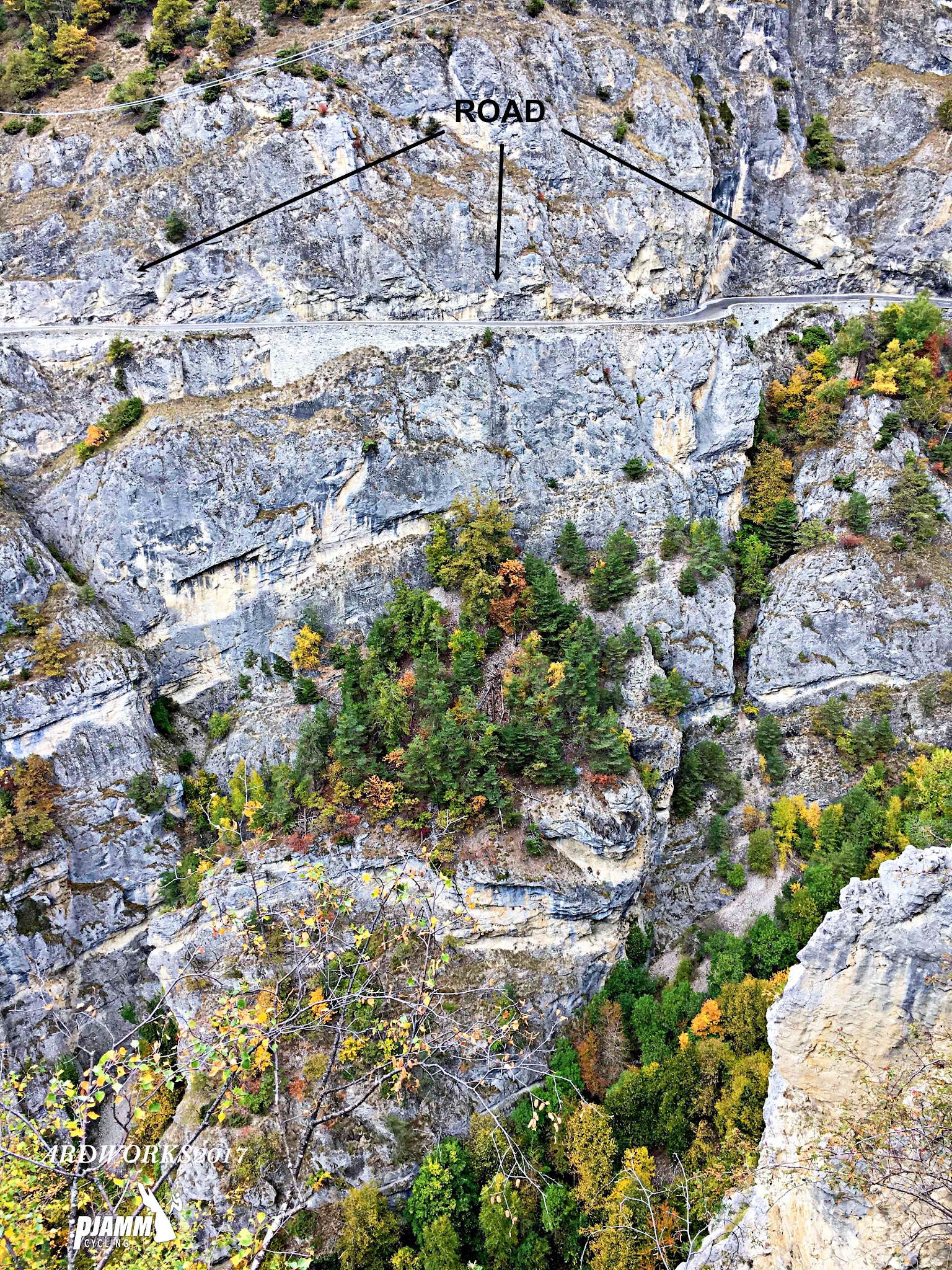
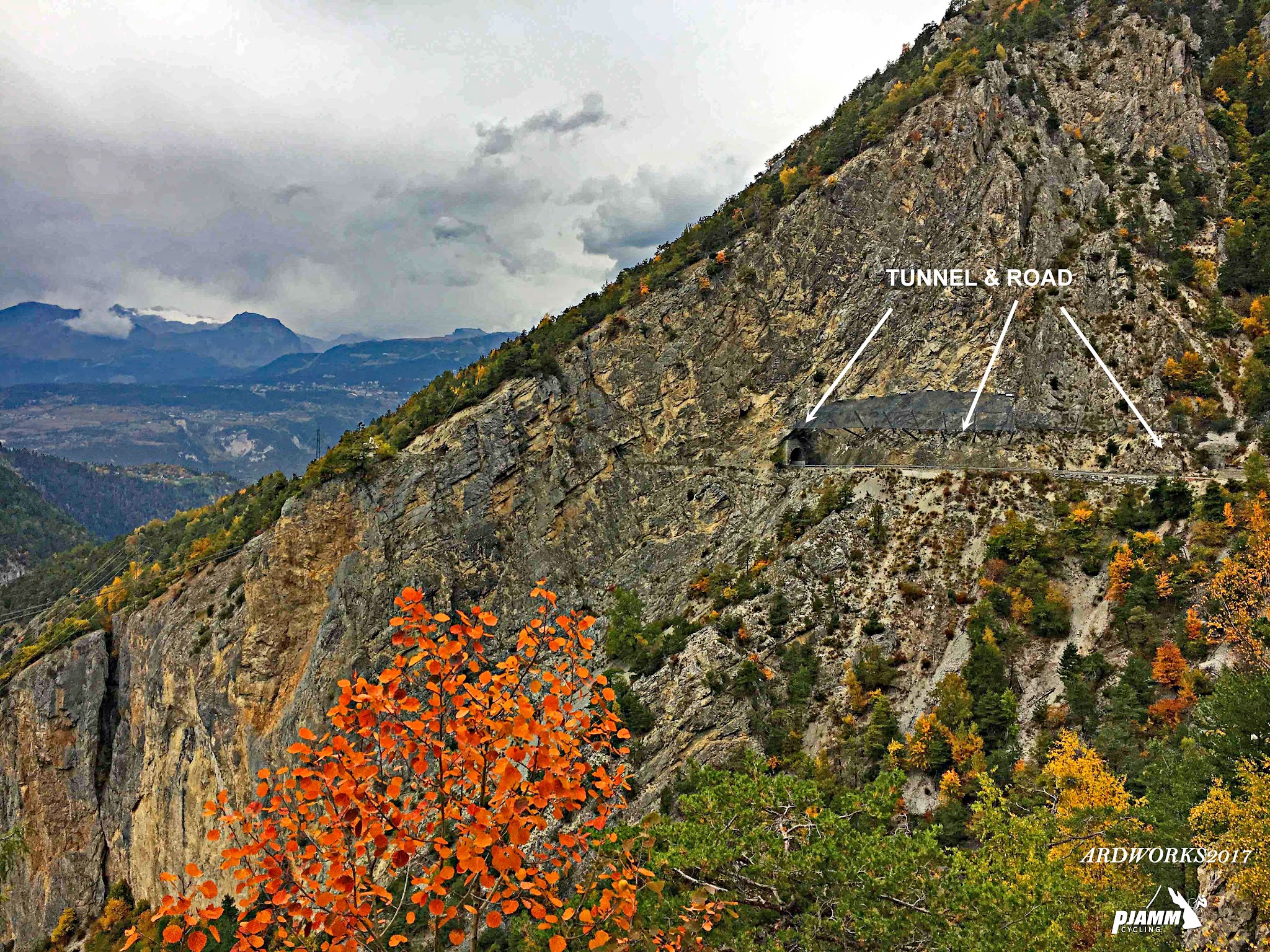
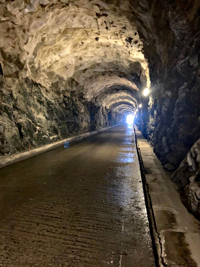
Roadway: The road is paved the entire way, though it's a genuine mountain route - narrow in places, with a roughly 100-meter tunnel and a sheer cliffside section a few miles above Chippis, and a longer, 300-meter tunnel near the lake just before the finish (bring lights for both). The final approach runs right along the dam wall.
Traffic: Traffic is light to moderate on the lower valley roads and generally quiet once you're past Grimentz, since the dam road doesn't lead anywhere beyond the lake. The climb is also the centerpiece of an annual cyclosportive each summer that closes sections of the road to cars for a few hours - check local event calendars if you're riding in late June.
Parking: Most riders start right in Chippis, which has street parking near the village center. Grimentz, the last real village before the final push, also has parking if you'd rather split the ride or start higher up.
Bring the range to handle both the long rolling miles through the valley and the genuinely steep finish - a compact or wider-range cassette is worth it for the 16%+ kilometer around mile 15 and the sustained pitches after Grimentz.
Chippis and Grimentz both have shops and cafes for stocking up, and there's a restaurant near the dam at the top for a well-earned meal with a lake view. There's little in between, so carry enough water for the long middle stretch.
Before heading out on any cycling adventure check out our Things to Bring on a Cycling Trip and use our interactive check list to ensure you don't forget anything.
This is a high-altitude finish, so it's worth checking the forecast before you commit - conditions at 7,700 feet can differ sharply from the valley floor even in summer. Our Weather tool can show you what's happening at the top before you leave Chippis.
The road is typically only open in the warmer months and closes with the first heavy snow, so this is a late-spring-through-early-fall ride. The lake and glacier are the payoff at the top - though like most Alpine glaciers, Moiry has retreated noticeably over the past century, so don't expect quite the ice field older photos show.
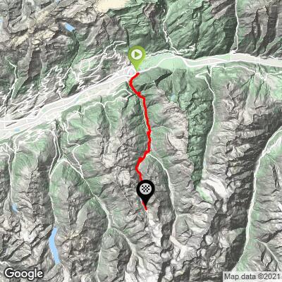
ROUTE MAP
MEMBER RATING
CURRENT WEATHER
PJAMM TRIPS ADVENTURE STARTER BUNDLES
Check out PJAMM Adventure's prepackaged (self-guided) cycling trips. They will help you plan, document and conquer your next adventure.
NEARBY CLIMBS (0) RADIAL PROXIMITY
FROM No Climbs Found
MEMBER REVIEWS & COMMENTS
Let us know what you thought of this climb. Signup for our FREE membership to write a review or post a comment.
Already have an account?
LOG IN HERE