20
PDI
6.8 mi
DISTANCE
2,864 ft
GAINED
8 %
AVG. GRADE
FULL CLIMB STATS
Page Contributor(s): Ard Oostra, Montreux, Switzerland.
INTRO
The Col de Champex climbs 11.0 km (6.8 mi) from Les Valettes in Bovernier to Champex-Lac, gaining 873 m (2,864 ft) at an 8.0% average grade. It starts at 629 m (2,063 ft) on the Great St. Bernard road and finishes at 1,500 m (4,923 ft) above the lake. It is a consistent, honest climb with no warm-up: the first kilometer already averages 8.9%, and nearly every kilometer after that lands between 7% and 9%, with a breather near the 8 km mark and an easier last kilometer.
The first kilometers follow the Durnand gorge, then the road winds up through forest and meadows with numerous bends, passes Champex d'en Bas, and opens up to views of the Catogne and Mont Dolent. On a clear day you can also look across toward the Col de la Forclaz and the Aiguilles d'Argentière. This is a local road rather than a through route, so traffic is light, which makes it a quiet counterpart to the busier climbs around Martigny. Valais Tourism's signed version of the route starts in the center of Martigny; ours begins at the Les Valettes junction in Bovernier.
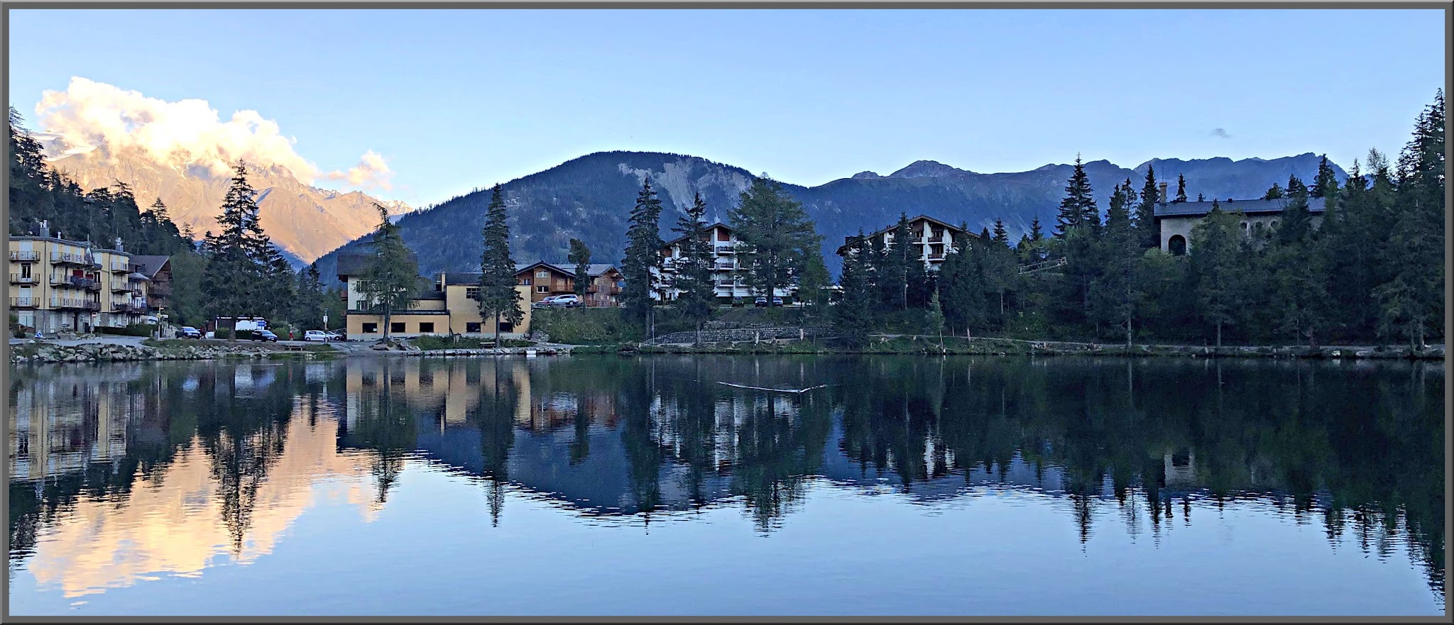
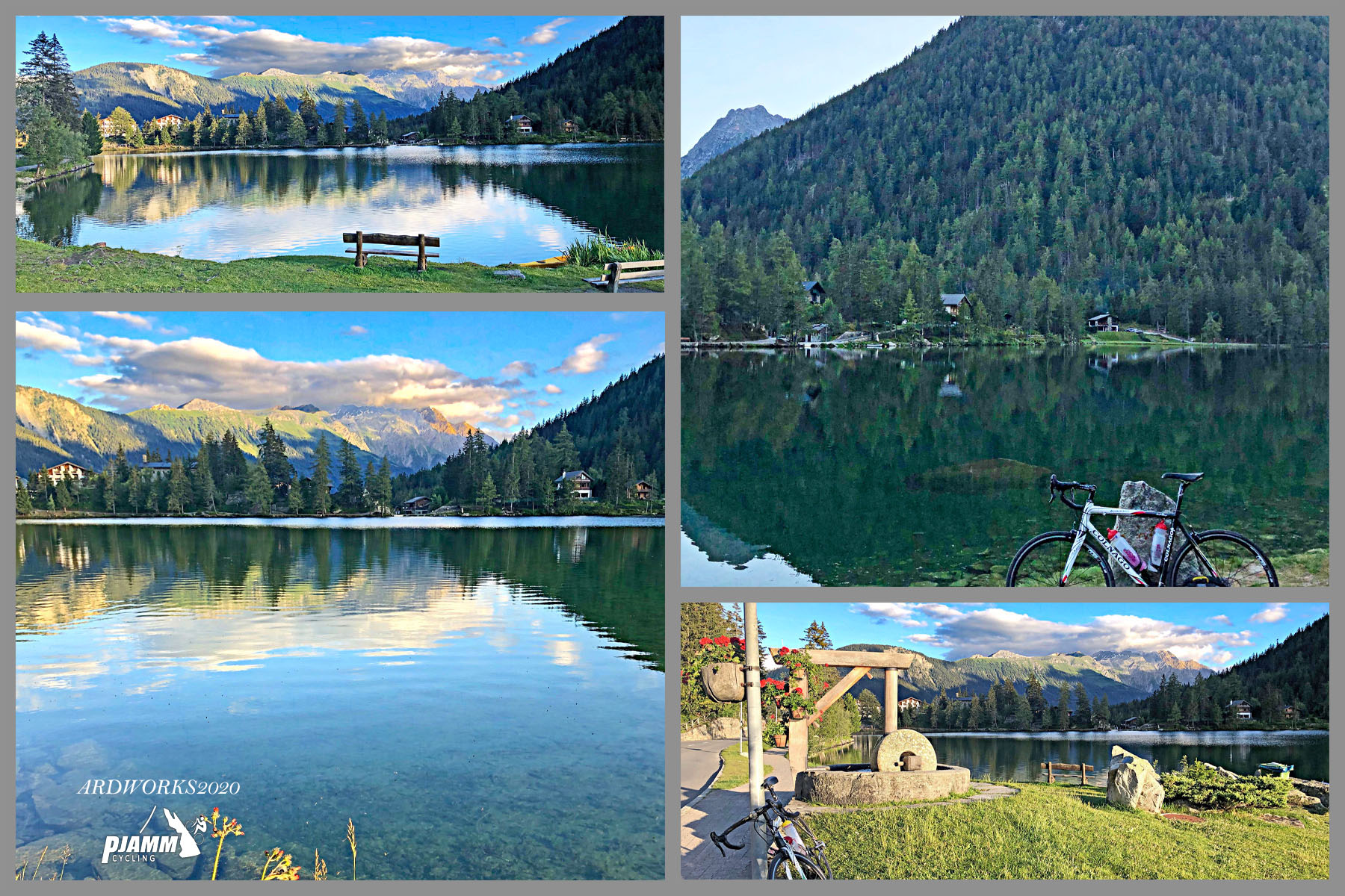
The finish is Champex-Lac, a small lake resort at about 1,470 m (4,823 ft). It has a small winter ski area, so expect snow and ice on the upper road in winter and plan on late spring through early autumn for clean, dry riding.
PLAN YOUR ROUTE
 We've partnered with Sherpa-Map.com to bring you the best route planning tool. With a PRO Membership you can use this climb as a reference when creating your route.
Average grade is 8.0% over 11.0 km (6.8 mi), climbing from 629 m (2,063 ft) to 1,500 m (4,923 ft). The climb is remarkably even. The first kilometer averages 8.9%, kilometers 4 through 7 hold about 9%, and the only real easing comes between km 8 and 9 (5.5%) and over the final 0.9 km (5.1%).
The steepest 500 m averages 10.9%, the steepest kilometer 10.4%, the steepest 2 km 9.6%, the steepest 5 km 9.1% and the steepest 10 km 8.3%. In miles, the steepest 100 yards (91 m) average 13.3%, the steepest quarter-mile (0.4 km) 11.2%, the steepest half-mile (0.8 km) 10.4% and the steepest mile (1.6 km) 9.6%.
Roadway: The road is paved the whole way, a winding local road with numerous bends that Valais Tourism signs as a road-cycling route. The first kilometers run through the Durnand gorge. Champex-Lac sits near 1,470 m (4,823 ft), so snow and ice are possible on the upper road from late autumn into spring.
Traffic: Light. The road serves Champex-Lac and the villages along the way rather than carrying through traffic.
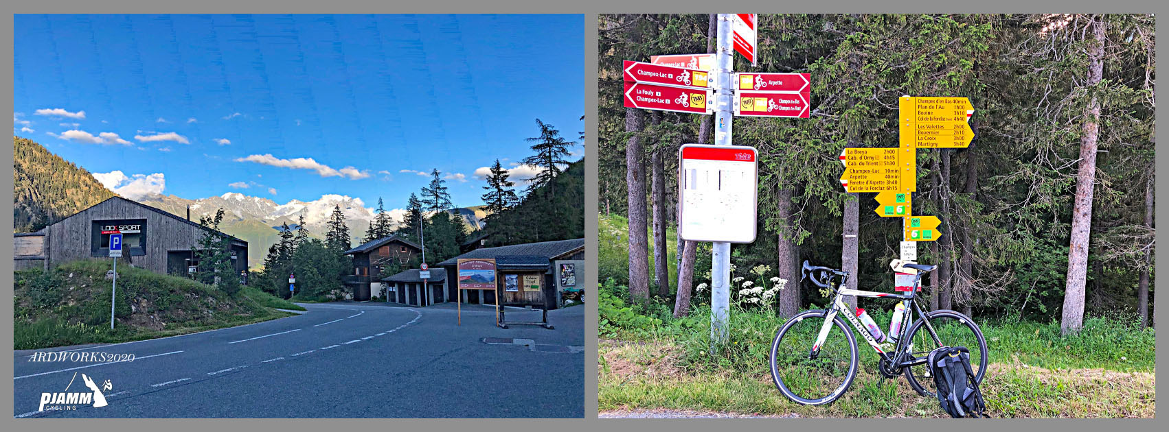
Parking: Bovernier has parking at the railway station, and regional trains from Martigny stop there, so you can start from the station. The route itself starts at the Valais cycling signpost where Route des Valettes meets Route de Champex. The climb ends at the car park of the Champex-Lac chairlift. For parking in Martigny itself, see our Col de la Forclaz (Martigny) page.
Provisions: Bring water and food for the climb and plan to refuel at the top, where Champex-Lac has lakeside cafes and restaurants, including Relais d'Arpette and Au Club Alpin.
Gear: The finish is 873 m (2,864 ft) above the start, so pack a light jacket for the descent, which is cooler than the valley and full of bends. With almost no flat on the way up, a compact crankset or an easy low gear makes the 9% stretches more comfortable.
Before heading out on any cycling adventure check out our Things to Bring on a Cycling Trip and use our interactive check list to ensure you don't forget anything.
Champex-Lac is the reason to linger. A walking path rings the lake, lakeside cafes line the shore, and stand-up paddling is on offer. The Flore-Alpe alpine botanical garden on the Route de l'Adray holds some 4,000 plant species and won the Schulthess Prize for Swiss heritage gardens in 2007; it is a summer-season attraction, so check opening dates at flore-alpe.ch before you plan around it.
The Champex-Lac chairlift up to La Breya runs daily in summer (13 June to 21 September in 2026) and gives views over the Valais Alps, and hikers can follow the trail up the Val d'Arpette or on toward the Cabane d'Orny. Continuing over the col, the road drops to Orsières, where the Great St. Bernard road begins - see our Col du Grand St. Bernard page for that climb.
Martigny's other big climbs have their own pages, and our Routes in the Area tool shows how this one fits with them.
ROUTE MAP

MEMBER RATING
CURRENT WEATHER
PJAMM TRIPS ADVENTURE STARTER BUNDLES
Check out PJAMM Adventure's prepackaged (self-guided) cycling trips. They will help you plan, document and conquer your next adventure.
NEARBY CLIMBS (0) RADIAL PROXIMITY
FROM No Climbs Found
MEMBER REVIEWS & COMMENTS
Let us know what you thought of this climb. Signup for our FREE membership to write a review or post a comment.
Already have an account?
LOG IN HERE