18.7
PDI
10.2 mi
DISTANCE
3,294 ft
GAINED
6.1 %
AVG. GRADE
FULL CLIMB STATS
Page Contributor(s): Ard Oostra, Montreux, Switzerland
INTRO
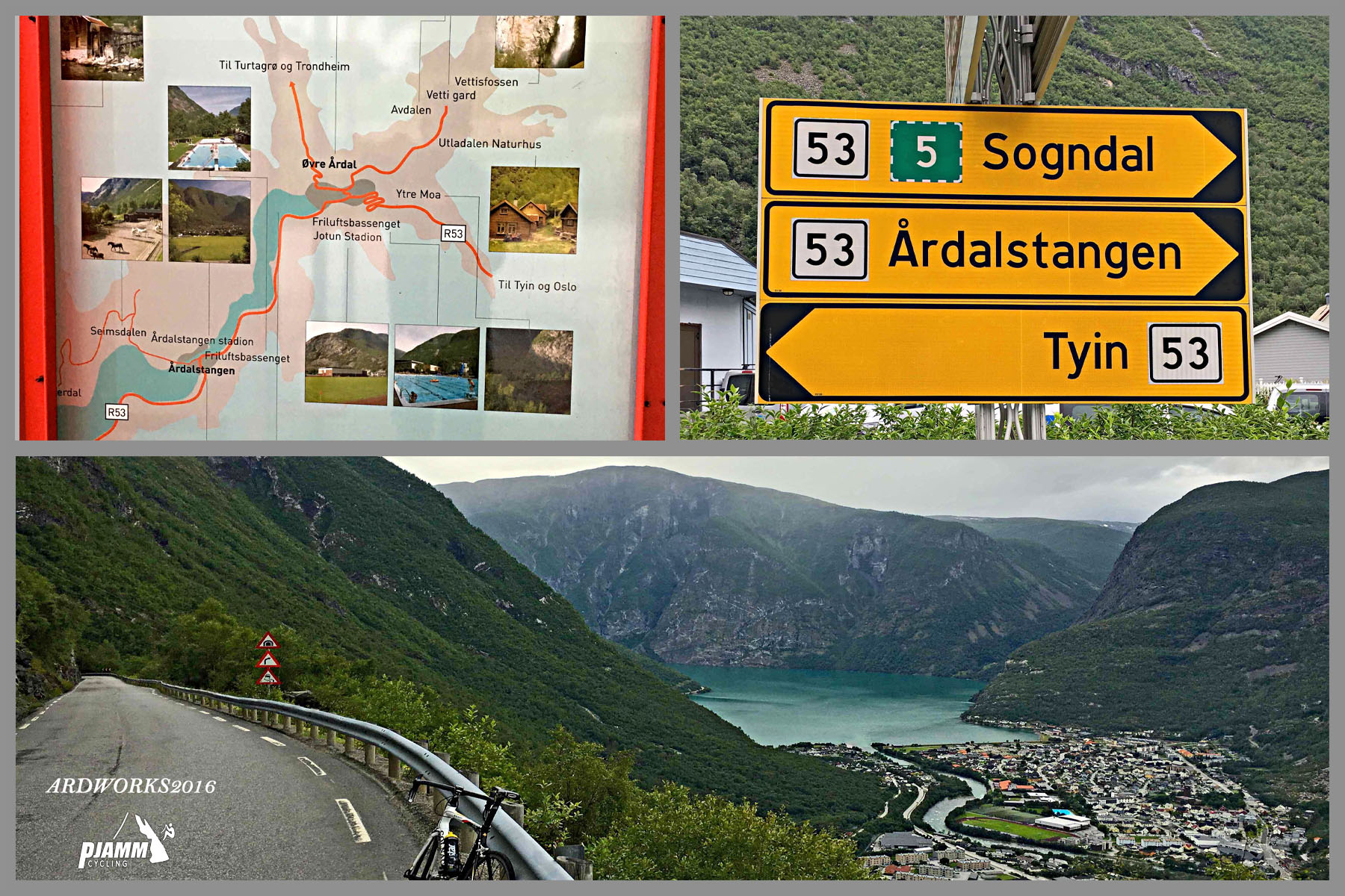
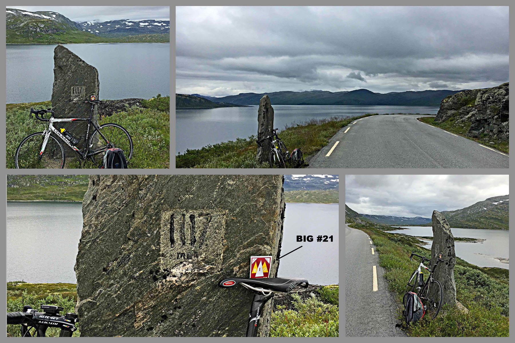
Tyinosen West climbs Fv53, the mountain road linking the industrial town of Øvre Årdal, at the head of Årdalsvatnet lake, with Tyin, the big reservoir lake on the southwestern edge of Jotunheimen. Our route is 16.4 km (10.2 mi) and gains 1,004 m (3,294 ft) at a 6.1% average grade, rising from 65 m (213 ft) in Øvre Årdal to 1,067 m (3,500 ft) at Tyinosen, at the lake's outlet.
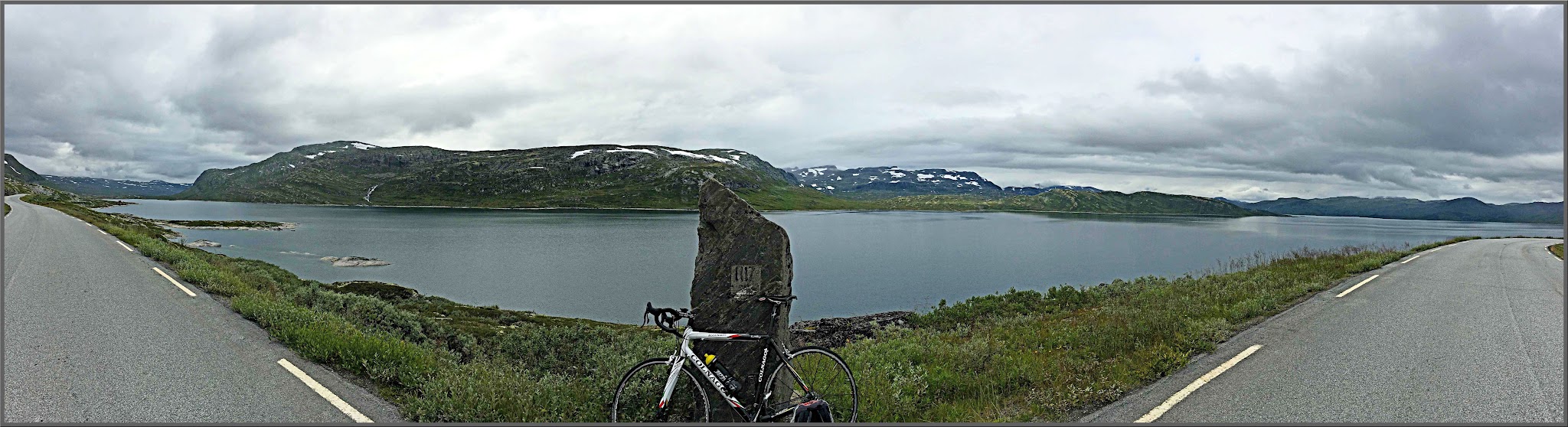
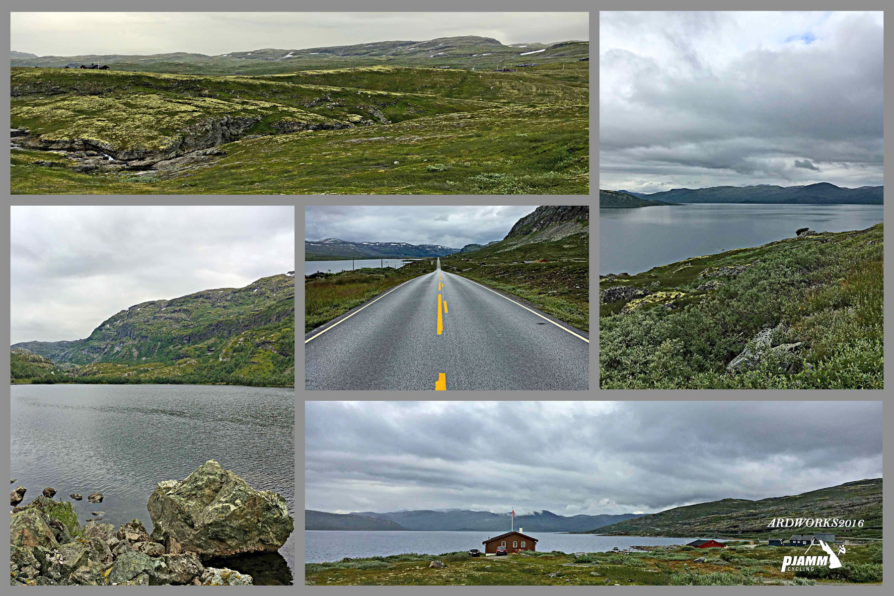
It's really two climbs in one. The first 8 km are a steady 7-8% grind up the steep valley wall above town, through wide hairpins and a series of tunnels, with views back down over Årdalsvatnet. Past Holsbru the grade drops to 4-5% and the road runs out across open high country beside the lakes of Holsbruvatnet and Torolmen toward Tyin - lonely, wild terrain that feels a world away from the aluminium works on the valley floor.
Tyin has been a gateway to Jotunheimen for a long time - the Norwegian Trekking Association (DNT) built its very first cabin here in 1869 - and today the lake also feeds the Tyin hydropower station, Årdal's largest. Fv53 is a high mountain road that can close for winter weather and roadwork, so check Statens vegvesen's road reports before you ride.
PLAN YOUR ROUTE
 We've partnered with Sherpa-Map.com to bring you the best route planning tool. With a PRO Membership you can use this climb as a reference when creating your route.
Tyinosen West is 16.4 km (10.2 mi) long and gains 1,004 m (3,294 ft) at an average grade of 6.1%, from 65 m (213 ft) in Øvre Årdal to 1,067 m (3,500 ft) at Tyinosen.
The climb is front-loaded. The first 8 km hold a remarkably consistent 7.4-8.2% as the road works up the valley wall above Øvre Årdal, gaining about 620 m (2,034 ft) before Holsbru. After that the character changes completely: the final 8.4 km average only about 4.6% as the road rolls across the high plateau past Holsbruvatnet and Torolmen, with a few short, steeper kicks between flatter stretches.
The steepest 500 m averages 8.6%, the steepest 1 km 8.4%, the steepest 2 km 8.3%, the steepest 5 km 8.0% and the steepest 10 km 7.0%. There are no brutal ramps here - the challenge is the sustained first half, followed by a long, exposed run to the finish that can be harder than it looks into a headwind.
Roadway: Fv53 is paved the entire way and is a full-width road for most of its length. The steep lower section above Øvre Årdal passes through several short, dimly lit older tunnels as well as the 1.1 km (0.7 mi) Ljoteli tunnel, opened in early 2022 as rockfall and avalanche protection on the steepest part of the climb - run front and rear lights for the whole ride. On the way back down, two of the short tunnels hide tight bends that only become visible a few meters before the entrance, so take sunglasses off and keep your speed in check. Fv53 is reported as a mountain pass and can close for winter weather and maintenance - it had a scheduled roadworks closure in late October 2026 - so check Statens vegvesen's road reports before heading up.
Traffic: Light by volume - around 300 vehicles a day on the tunnel section - but what traffic there is often moves fast, so ride predictably and stay visible, especially in the tunnels. In July and August the Fjord & Fjellrute bus also uses this road.
Parking: Øvre Årdal has parking in the town center close to the start. At the top there are parking areas at Sletterust, Tyinosen and Tyinkrysset, handy if you want to stage a car at the finish or start higher up.
Stock up in Øvre Årdal - the town has shops, a bakery and cafés, and there's no reliable food stop on the climb itself. The nearest café above the finish is at Tyinstølen Turisthytte, a short ride east of Tyinosen, but it's mainly open on weekends and during school holidays and closes from mid-October to mid-February. Lights are essential for the tunnels. The finish sits above 1,000 m (3,281 ft) on exposed, treeless high ground where it can be far colder and windier than down in the valley, so pack a wind and rain layer plus something warm for the descent, even in midsummer.
Before heading out on any cycling adventure check out our Things to Bring on a Cycling Trip and use our interactive check list to ensure you don't forget anything.
If you're on a gravel bike or mountain bike, Årdal has a spectacular alternative descent: the old construction road from Sletterust to Tusenmeteren, a viewpoint almost exactly 1,000 m above Øvre Årdal with a panorama of the Hurrungane peaks, including Store Skagastølstind, and of Utladalen and Årdalsvatnet. From there the road drops back to Fv53 through around 40 hairpins and a hand-cut tunnel. It isn't maintained, is rough and prone to rockfall after heavy rain, and isn't for inexperienced riders - bring a light and walk anything that feels sketchy.
In July and August, the Fjord & Fjellrute bus takes bikes (book bike and seat in advance) and stops at Sletterust, Tyinosen, Tyinstølen and Tyinkrysset, which makes a one-way ride possible. Off the bike, Vettisfossen - at 275 m, Norway's highest unregulated waterfall - is a 2-3 hour return hike up Utladalen from Øvre Årdal. Given how fast weather changes up on the plateau, check our Weather tool before you go.
ROUTE MAP

MEMBER RATING
CURRENT WEATHER
PJAMM TRIPS ADVENTURE STARTER BUNDLES
Check out PJAMM Adventure's prepackaged (self-guided) cycling trips. They will help you plan, document and conquer your next adventure.
NEARBY CLIMBS (0) RADIAL PROXIMITY
FROM No Climbs Found
MEMBER REVIEWS & COMMENTS
Let us know what you thought of this climb. Signup for our FREE membership to write a review or post a comment.
Already have an account?
LOG IN HERE