30.6
PDI
7.7 mi
DISTANCE
3,603 ft
GAINED
8.8 %
AVG. GRADE
FULL CLIMB STATS
Page Contributor(s): Daniel Patrick, Sherman Oaks, CA, USA
INTRO
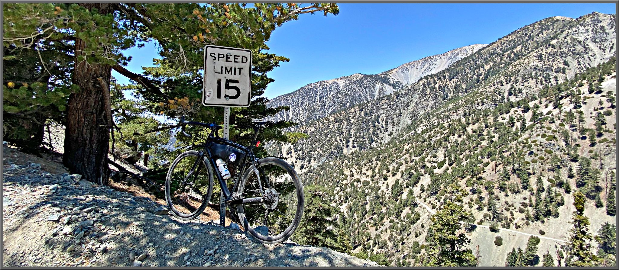
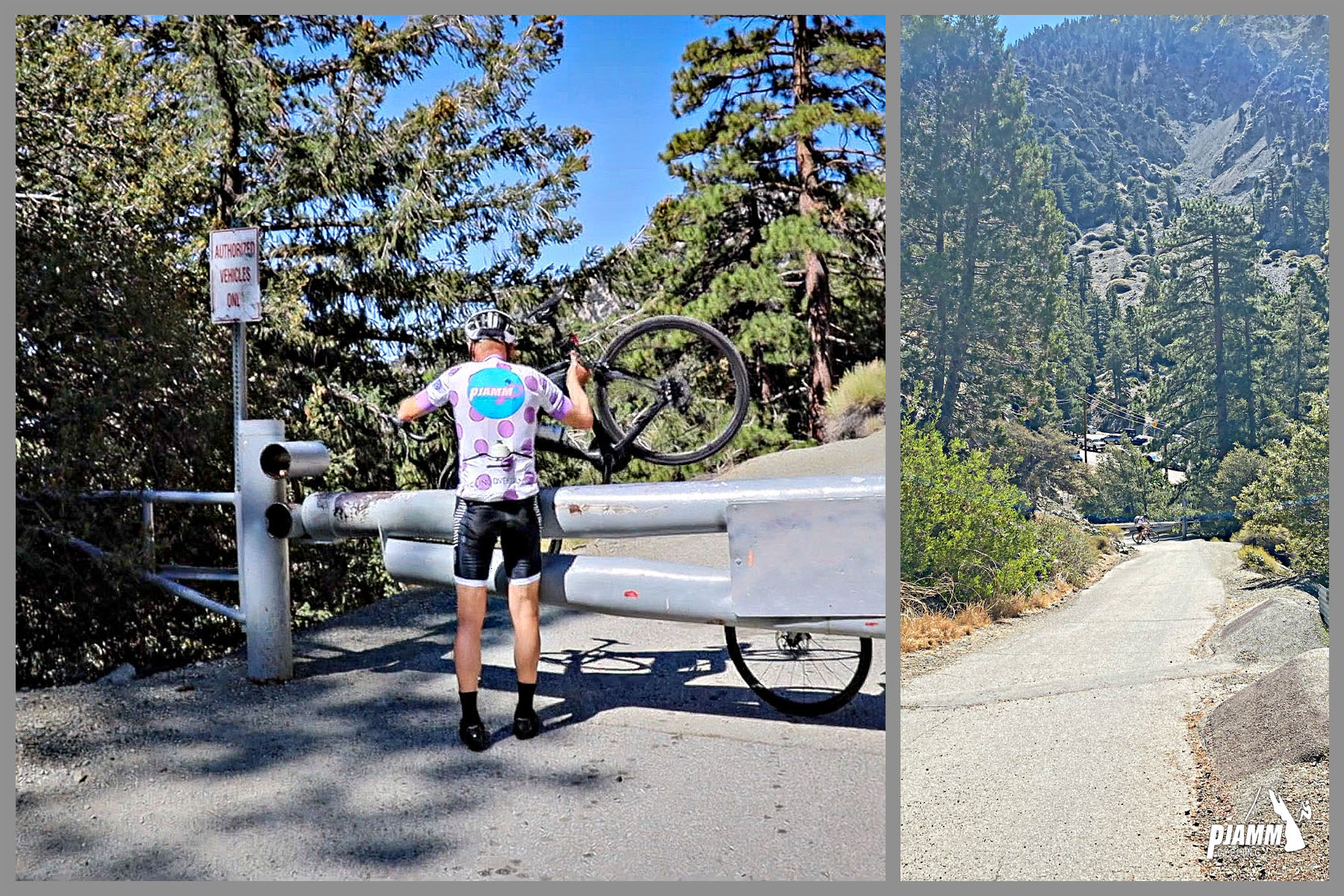
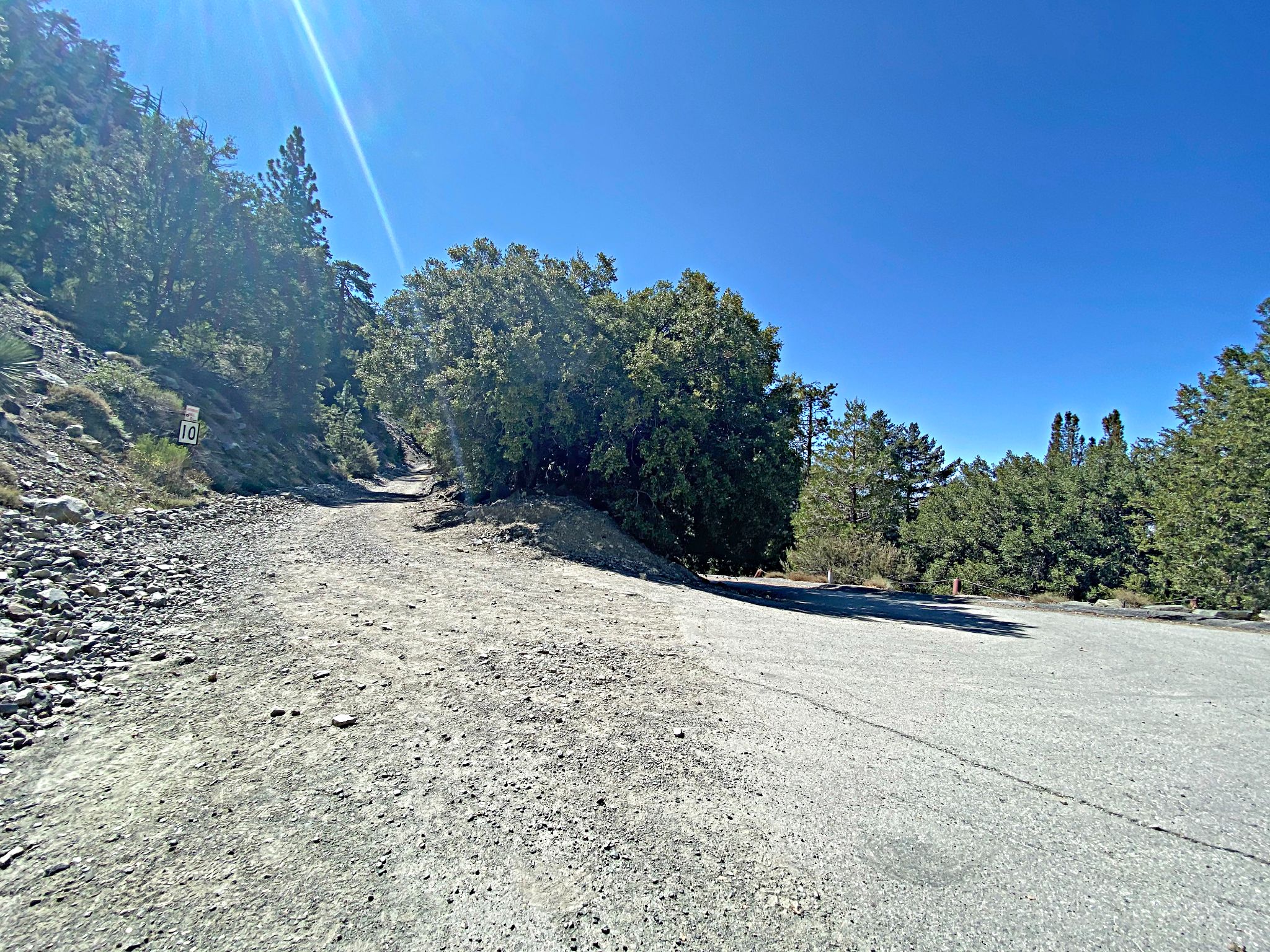
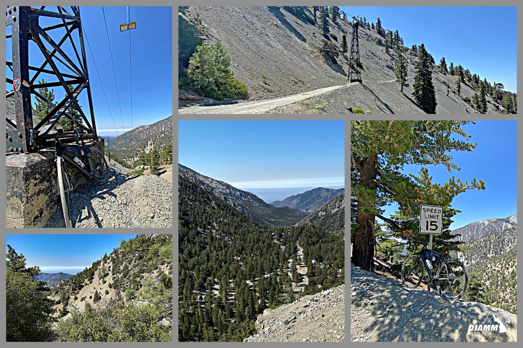
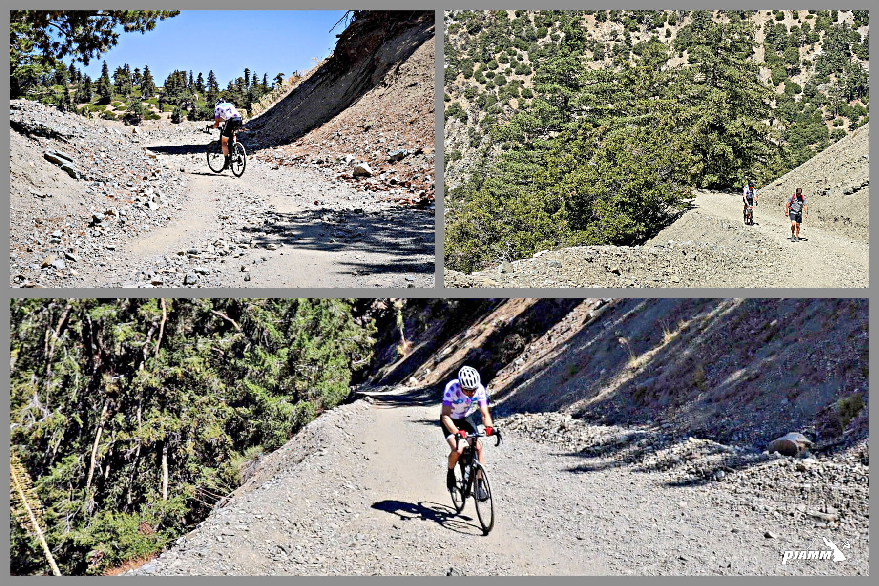
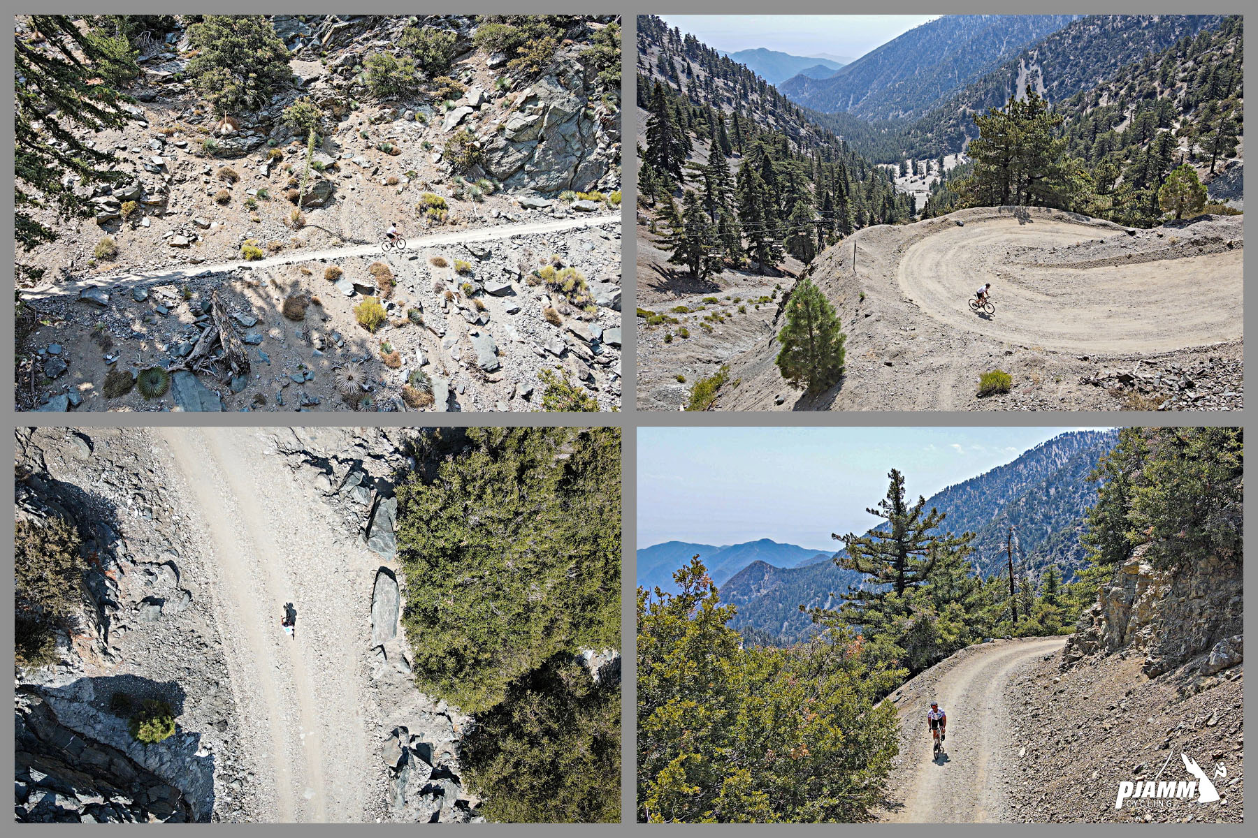
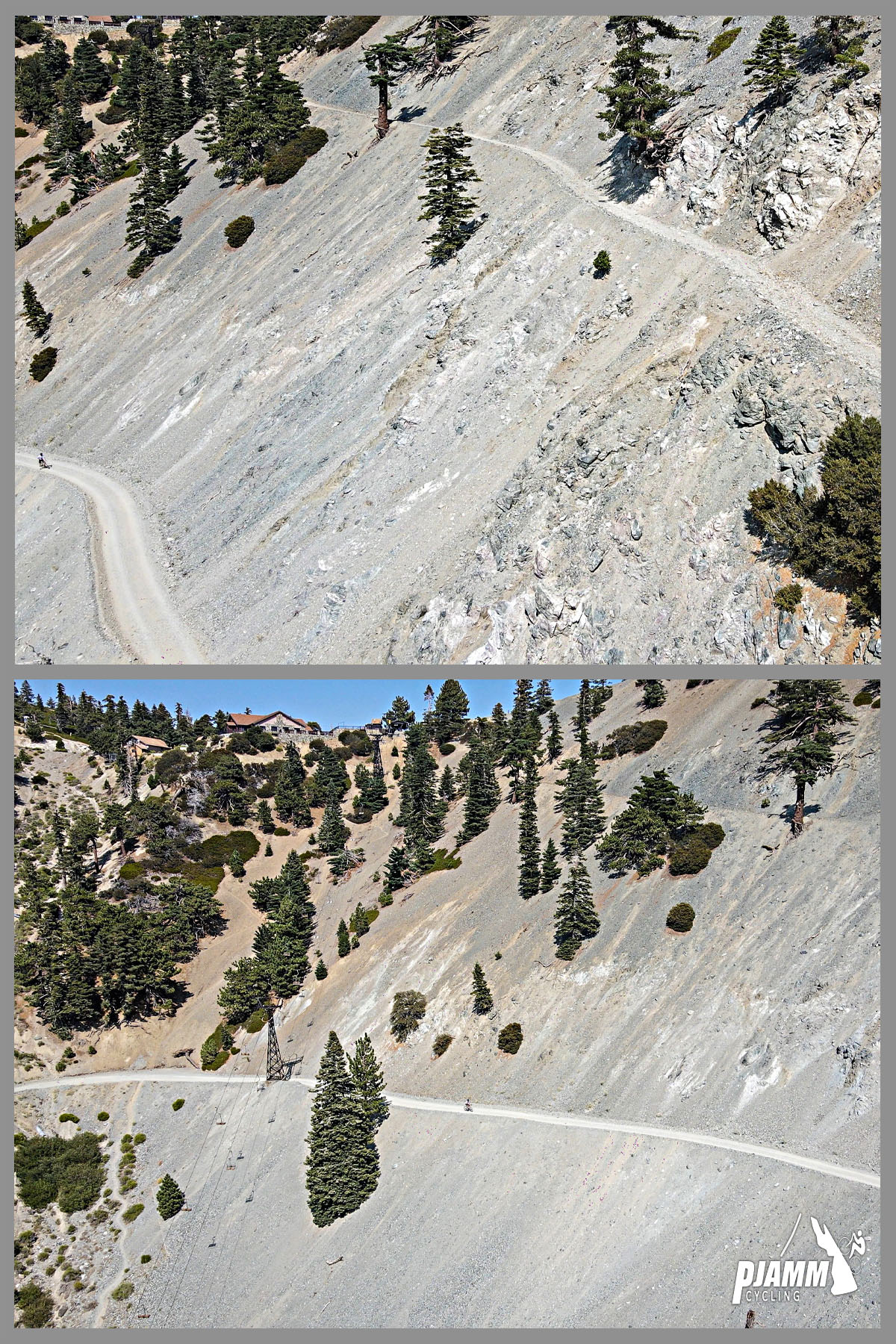
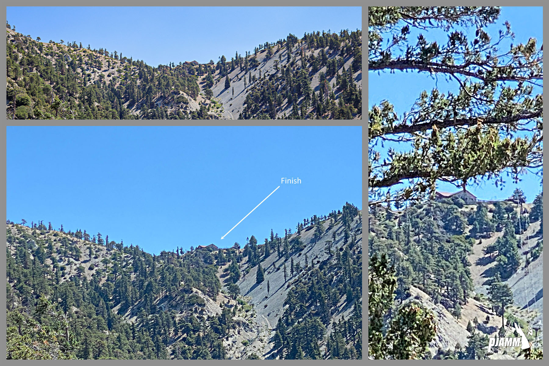
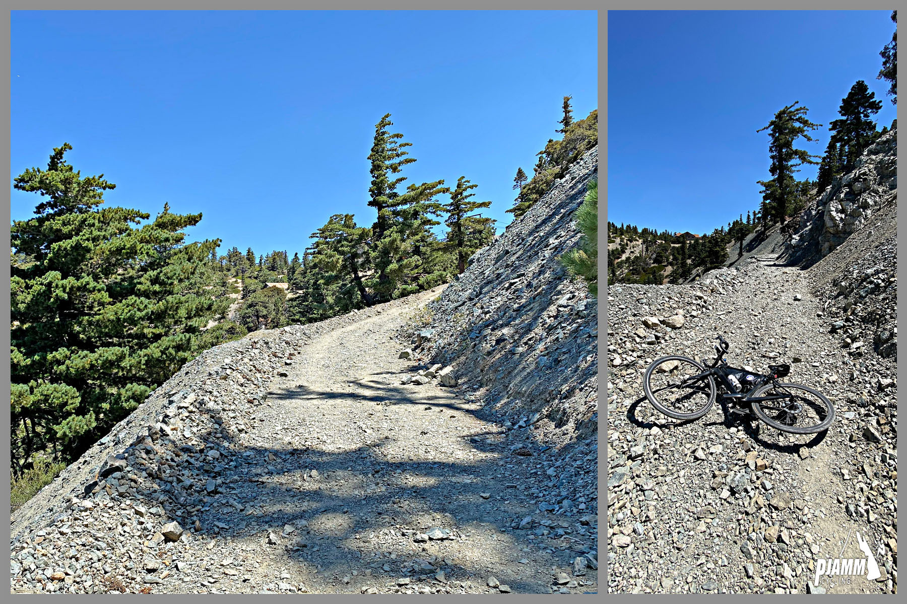
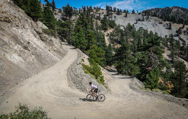
This is the gravel-and-boulder finish above Mt. Baldy's main paved road - the push from the top of the pavement up to Baldy Notch, at the base of the ski lifts. On a road bike, the final 100 yards or so are genuinely borderline unrideable - loose, steep, and littered with rock - so bring more tire than a 28mm if you want a clean ride the whole way. Watch our full attempt of the climb here!
For details about the paved road climb on its own, with no gravel detour required, check out our main Mt. Baldy page.
PLAN YOUR ROUTE
 We've partnered with Sherpa-Map.com to bring you the best route planning tool. With a PRO Membership you can use this climb as a reference when creating your route.
 The climb averages 8.8% over 7.7 miles, gaining 3,603 feet from 4,195 ft to 7,775 ft at Baldy Notch. The steepest quarter-mile comes in at 11.9%, and the steepest 100 yards - the loose, rocky final pitch up to the Notch - spikes to 12.7%. It's both a sustained, consistent grade and a series of unpredictable brutal pitches, which is part of what makes the technical surface of the final stretch the bigger challenge over sheer steepness.
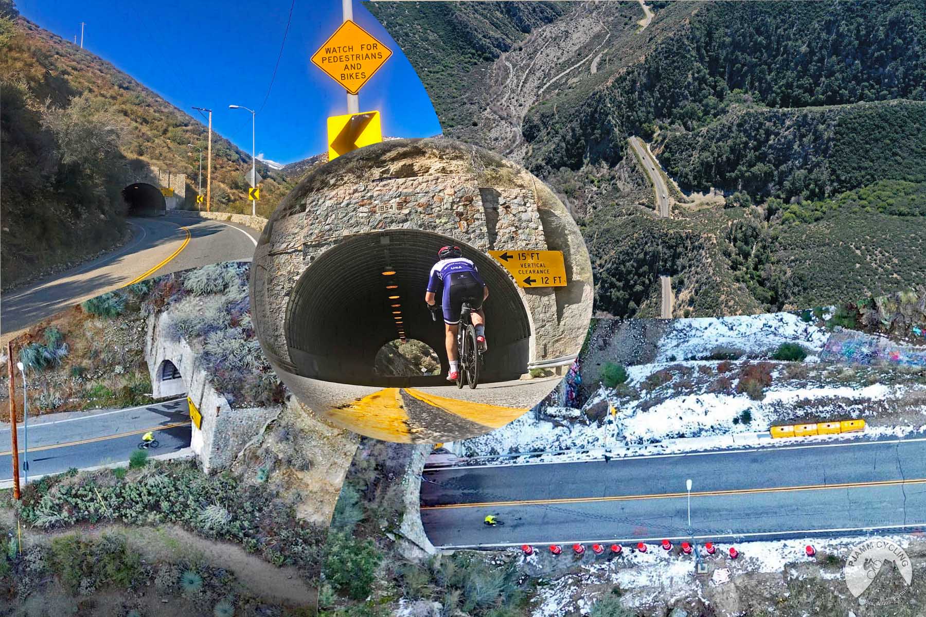
Roadway: Mt. Baldy Road itself is kept up well and fully paved. The last stretch of this climb, up to Baldy Notch, is gravel and loose rock - rideable on 28s if you're careful, but noticeably more enjoyable and controllable on a gravel bike or mountain bike, especially through the final 100 yards.
Traffic: Light to moderate on the paved section - Mt. Baldy Road sees weekend hiker/visitor traffic to the village and ski area, plus other cyclists, but it's not a busy through-road. The gravel finish has essentially no vehicle traffic beyond the occasional resort service vehicle.
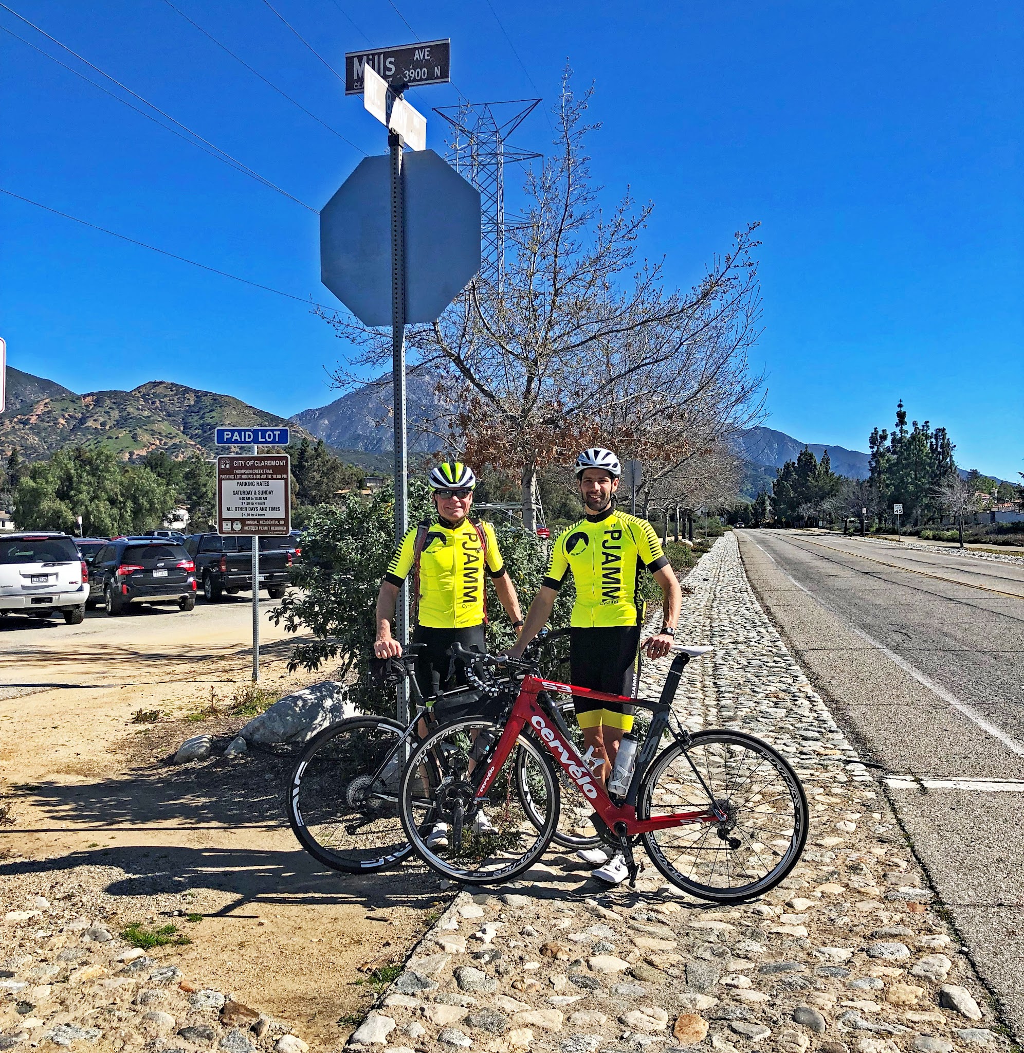
Parking: There's a parking lot at the base of the traditional Mt. Baldy climb, as well as one at the start of the gravel section if you'd rather drive most of the paved portion first.
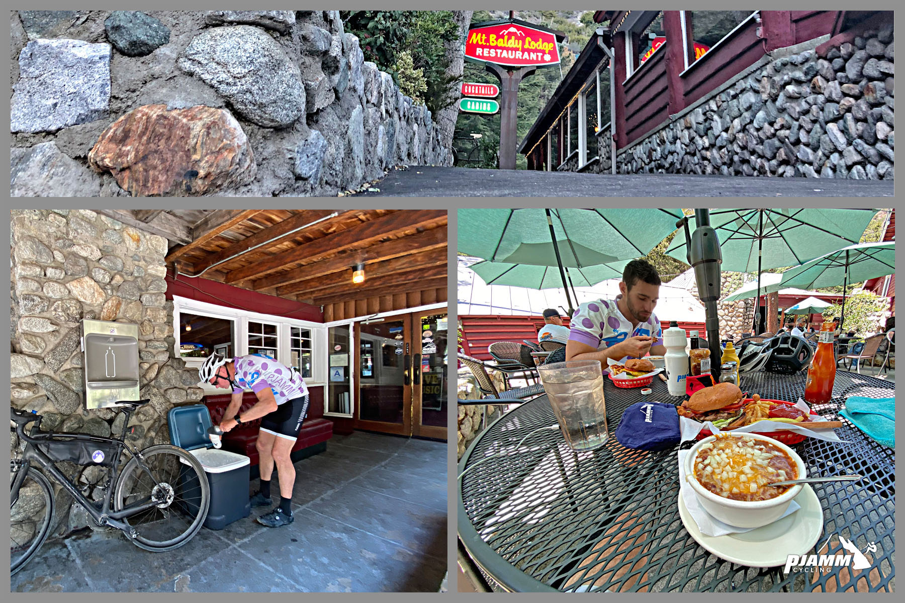
There is water and ice provided for cyclists by the Mt. Baldy Lodge Restaurant, on your way up. Stop in for a bite to eat on your way down too.
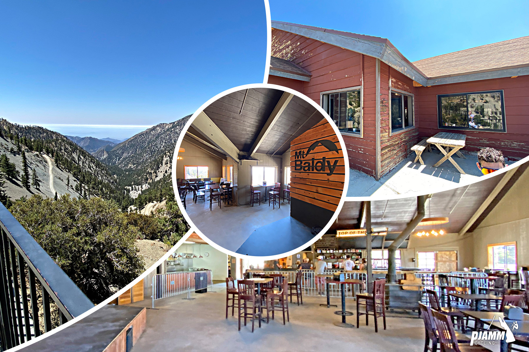
At the top, the Notch Restaurant ("Top of the Notch") has draft beer, soda, and snacks - that was our #1 motivation for getting to the top when we did it! As of 2026 it's running reduced Friday-Sunday hours, so don't count on it being open on a weekday visit.
Before heading out on any cycling adventure check out our Things to Bring on a Cycling Trip and use our interactive check list to ensure you don't forget anything.
Mt. Baldy Village, at the base of the climb, is a small mountain community with a lodge, a general store, and a couple of places to eat - a good spot to fuel up before or after. The gravel finish to the Notch depends on recent trail work and weather, so it's worth checking current conditions (winter storm damage in the San Gabriels has closed nearby hiking trails in past seasons, even when the road and resort stayed open) before you commit to riding all the way to the top.
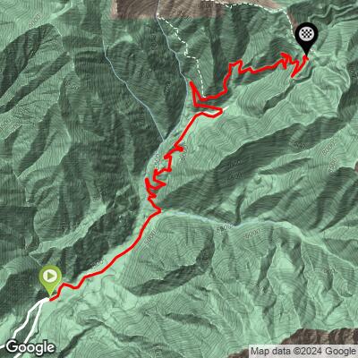
ROUTE MAP
MEMBER RATING
CURRENT WEATHER
PJAMM TRIPS ADVENTURE STARTER BUNDLES
Check out PJAMM Adventure's prepackaged (self-guided) cycling trips. They will help you plan, document and conquer your next adventure.
NEARBY CLIMBS (0) RADIAL PROXIMITY
FROM No Climbs Found
MEMBER REVIEWS & COMMENTS
Let us know what you thought of this climb. Signup for our FREE membership to write a review or post a comment.
Already have an account?
LOG IN HERE