34.9
PDI
7.6 mi
DISTANCE
4,084 ft
GAINED
10.2 %
AVG. GRADE
FULL CLIMB STATS
Page Contributor(s): Ard Oostra, Montreux, Switzerland; Nick Payne, Canberra, Australia
INTRO
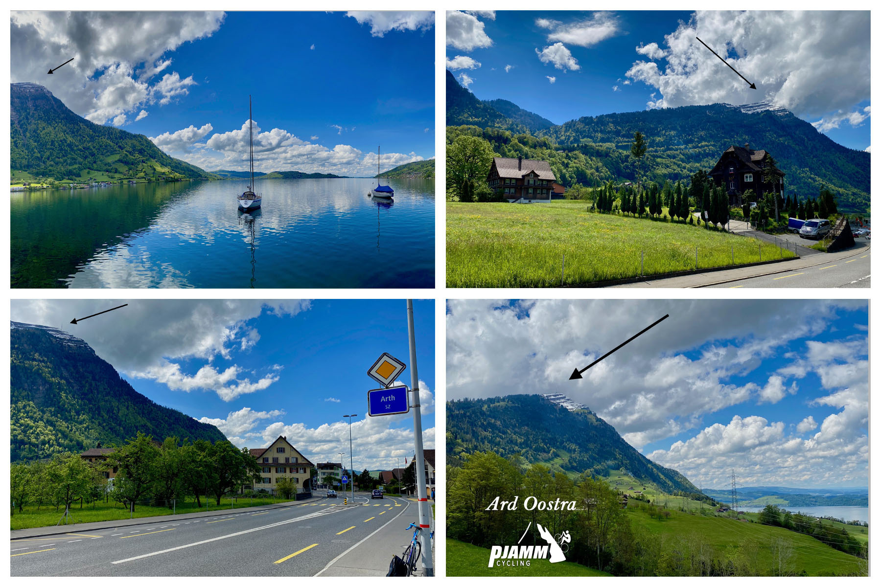
Rigi rises straight off the shore of Lake Zug at Arth, in central Switzerland, and climbs 7.6 miles to the summit of one of the country's most famous viewpoints at 5,830 feet. It gains 4,084 feet along the way at an average grade of 10.2%, currently the 185th-hardest climb in our database.
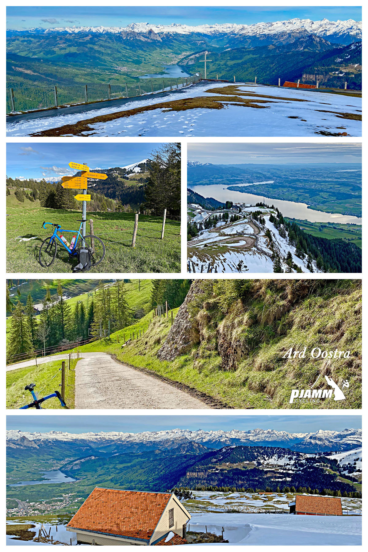
The lower miles through Arth and up to the village of Goldau are wide and gently graded, but the road narrows fast above Goldau, and past roughly 800 meters of elevation it's closed to unpermitted cars entirely - only local residents, farmers, and service vehicles carry the permit needed to drive it. That leaves the upper two-thirds of the climb almost entirely to cyclists, hikers, and the cog railway that's carried tourists to the summit since the 1870s. The surface changes character several times on the way up, mixing good asphalt with older concrete slabs and a few short gravel stretches, so just when a section eases, the road tends to kick back up into a steep, loose-surfaced switchback.
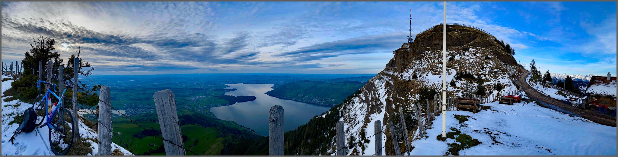
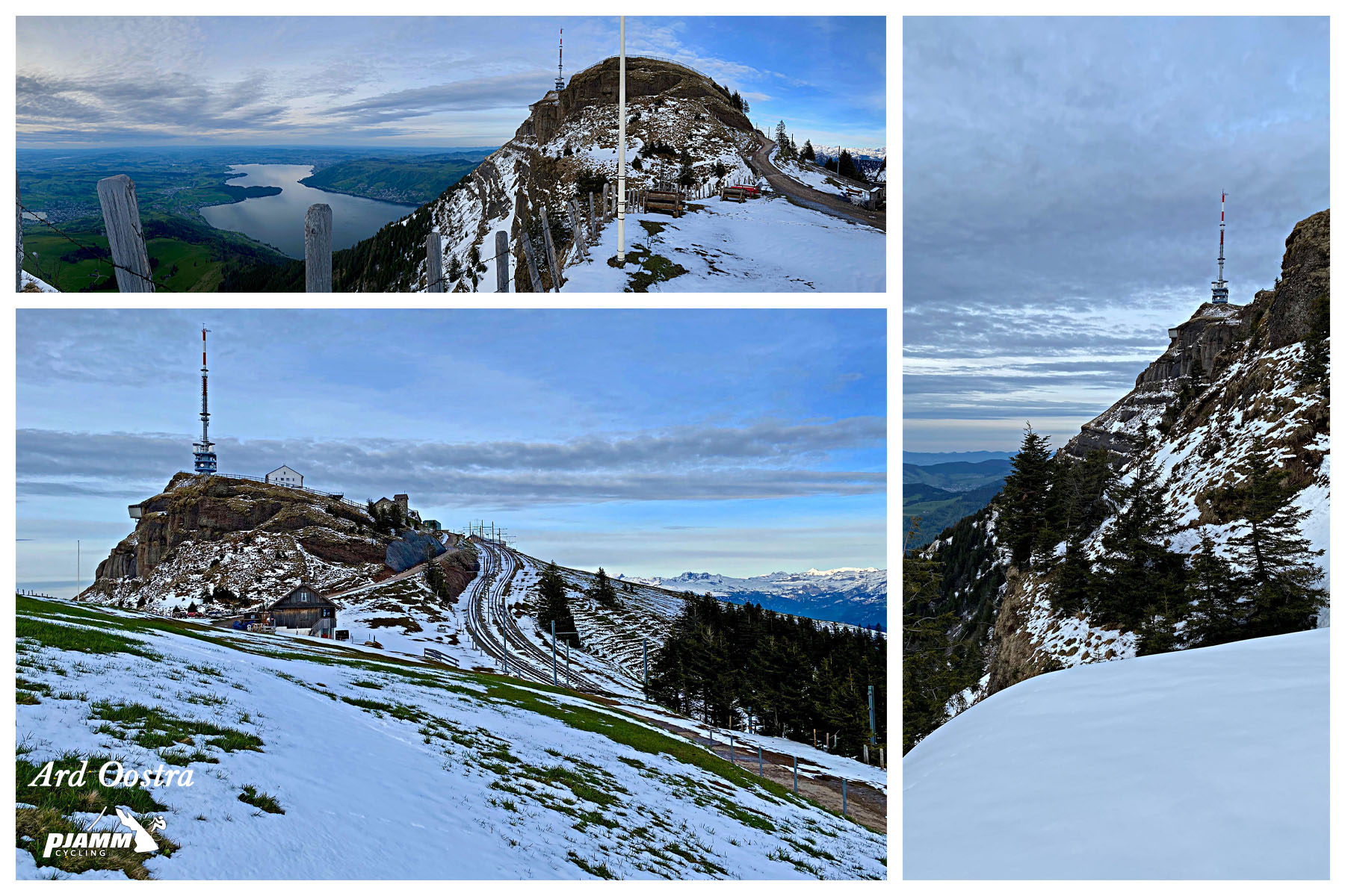
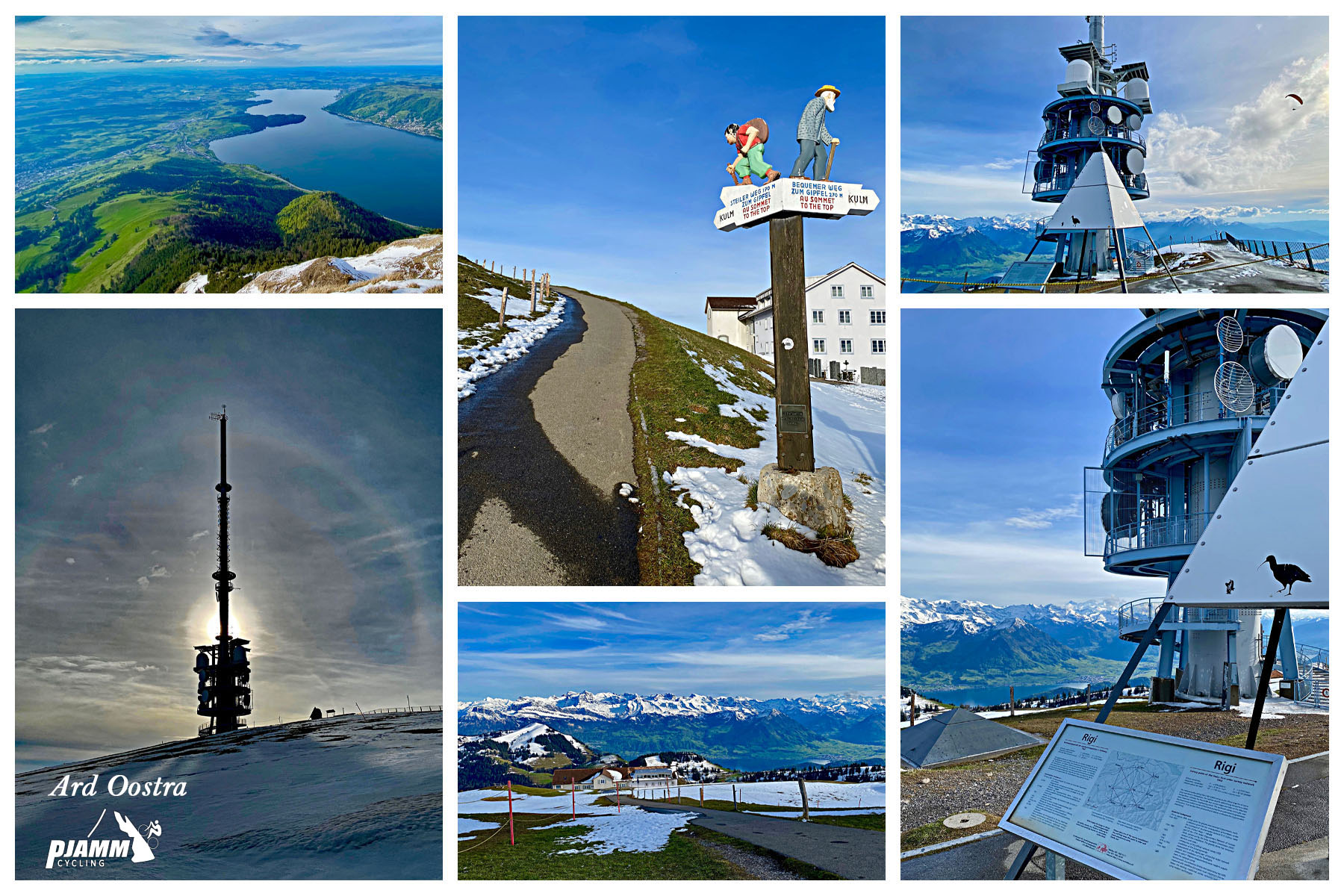
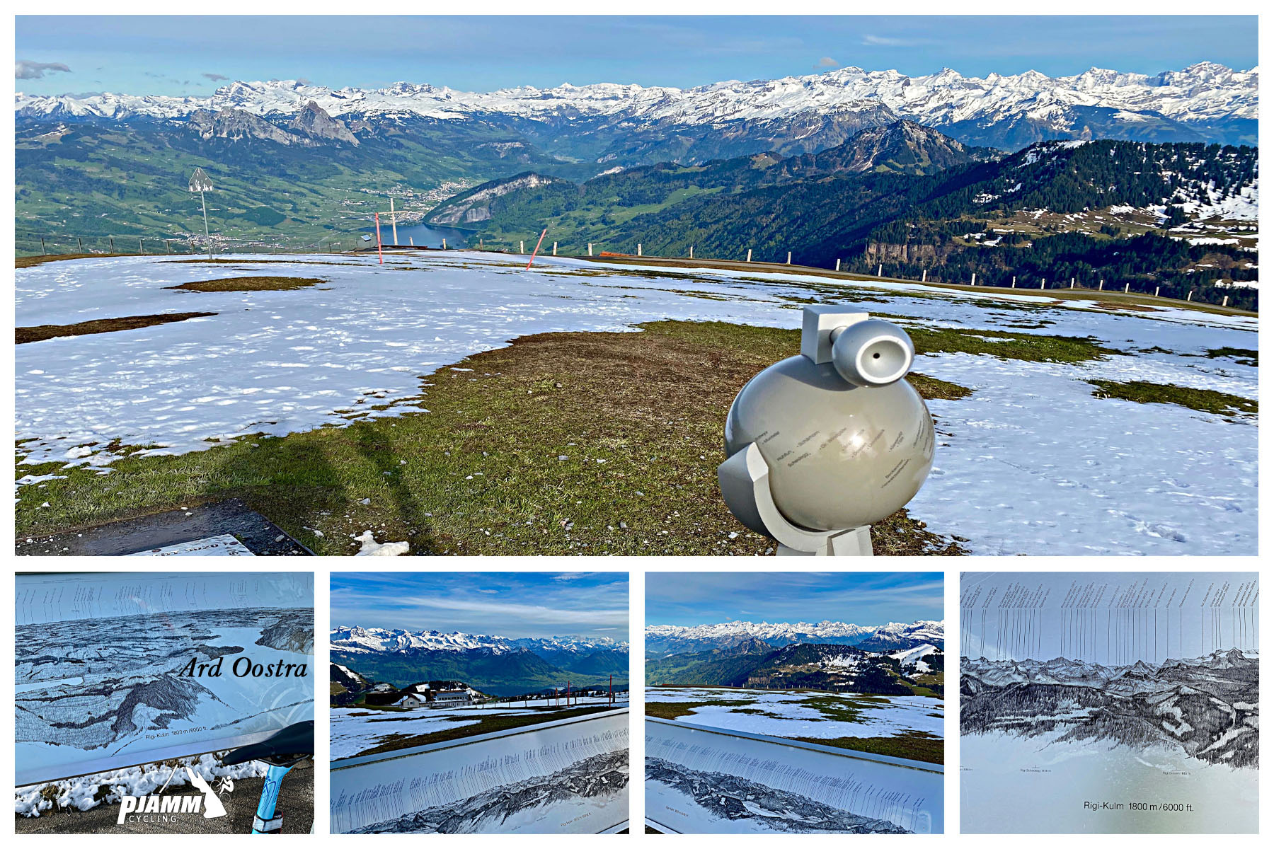
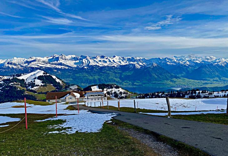
Rigi has no shortage of visitors at the top, but almost none arrive by road bike - most take the train or hike up from a mid-mountain stop, and the summit road carries no official signage pointing cyclists toward it. The reward is a 360-degree panorama over the lakes of central Switzerland and, on a clear day, the Alps beyond.
PLAN YOUR ROUTE
 We've partnered with Sherpa-Map.com to bring you the best route planning tool. With a PRO Membership you can use this climb as a reference when creating your route.
 The climb averages 10.2% over 7.6 miles, but the effort is front-loaded and back-loaded rather than steady. The first mile or so out of Arth through Goldau is easy, mostly under 5%, before the road tips up hard once it enters the forest above Goldau and stays in double digits for most of the middle section.
The toughest stretch comes in the final two miles between the mid-mountain rail crossings and the summit, where repeated switchbacks push well past 12% on a mixed concrete-and-gravel surface. Save something for that section - riders who empty the tank on the lower slopes often find the steepest hairpins are still to come. A compact crank and a wide-range cassette (32-34 low gear) are worth having given both the grade and the loose surface in spots.
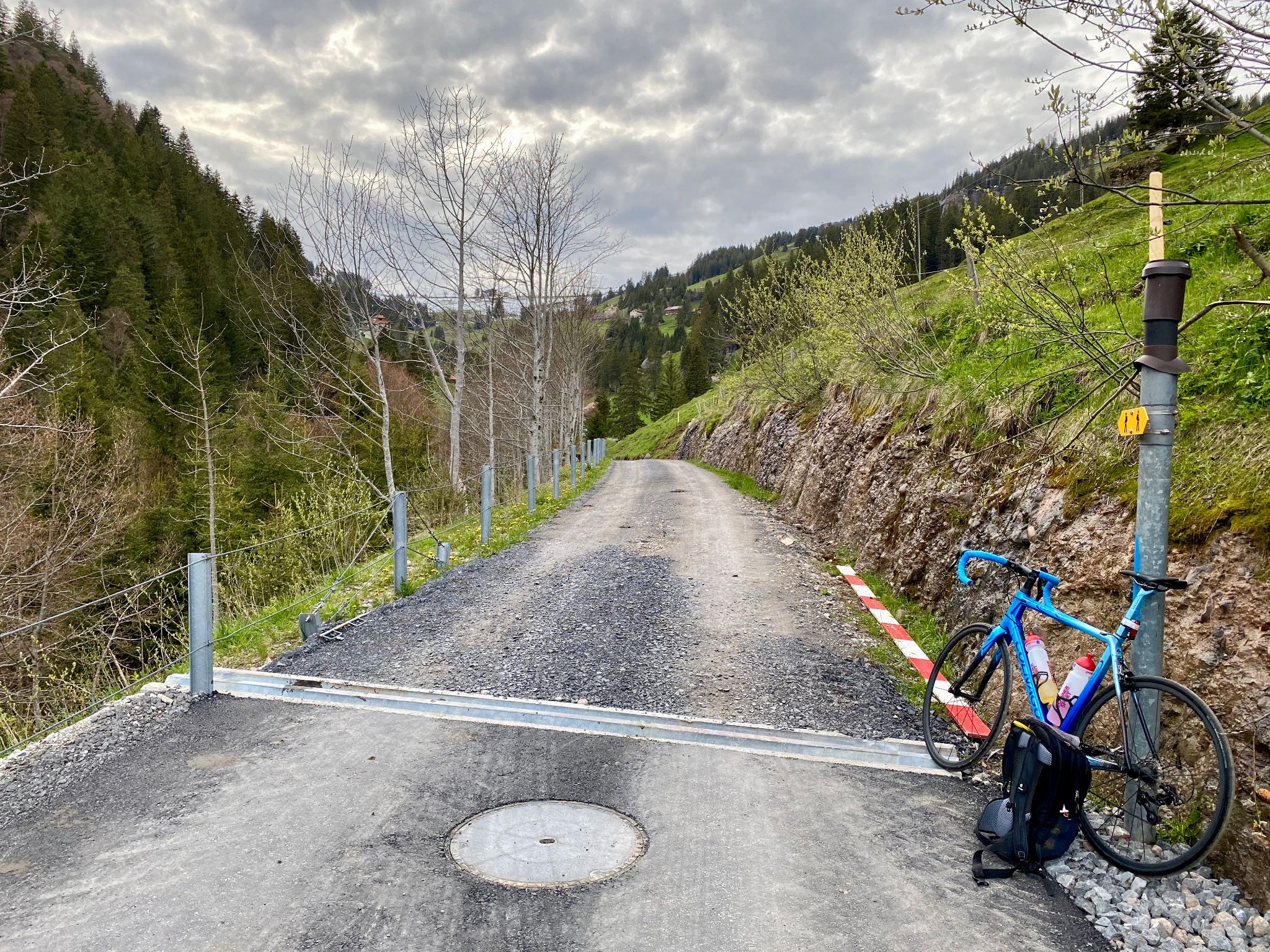
Roadway: The surface changes character repeatedly on the way up. The first miles from Arth through Goldau are a wide, well-paved main road. Above Goldau the road narrows to a single lane of good asphalt through the forest, but the upper third mixes older, worn concrete slabs with a few short gravel sections in the steepest switchbacks below the summit - a May 2025 rider report described the pavement between the Staffel and Kulm rail stops as brittle and pothole-prone with embedded stones, though a gravel stretch lower down (between the second bridge and roughly 1,261 m elevation) was paved over around the same time, and mid-2026 reports describe conditions overall as good. Expect the surface to keep evolving year to year as the canton continues resurfacing sections; a tire in the mid-20s to low-30s (mm) is a sensible minimum given the rougher patches.
Traffic: Light the entire way, and it gets lighter the higher you climb. From about 800 m elevation - a few miles above Goldau - the road is closed to unpermitted vehicles, so only local residents, farmers, and service traffic are legally allowed above that point. Expect farm vehicles and the occasional local car on the lower, open section, and almost no motor traffic at all above the closure point - though hikers are common near the summit, especially on weekends and in high season.
Parking: Arth, at the base of the climb on the shore of Lake Zug, has street and lakeside parking near the train station and lake promenade - a practical spot to leave a car, since Arth-Goldau is also a major rail hub if you'd rather arrive by train. There's no dedicated cyclist lot at the summit given the vehicle restriction, but the upper rail stations (Rigi Staffel, Rigi Kulm) have space to stop, and the train is a legitimate way to bring a bike back down if the weather turns or the legs give out.
There's nothing resembling a bike shop above Goldau, so handle mechanicals and spare-tube needs before you leave Arth or Goldau. Water and food are available at both towns and again at the Rigi Kulm summit (weather and season permitting - some summit services close in the off-season and were shut entirely during COVID-era restrictions in past years, so don't count on it outside the main summer season). Given the surface changes - good asphalt mixed with worn concrete and loose gravel in the steepest switchbacks - a slightly wider tire than you'd run on a pure road climb (mid-20s to low-30s mm) and a compact or sub-compact gearing setup are both worth having.
Before heading out on any cycling adventure check out our Things to Bring on a Cycling Trip and use our interactive check list to ensure you don't forget anything.
Arth-Goldau is a major rail junction in central Switzerland, so this climb is easy to reach by train from Zurich, Lucerne, or Zug, and just as easy to descend by train if you'd rather not ride back down on tired legs and a mixed-surface road. Summer through early fall (roughly June to September) is the reliable window - fresh snow above 1,500 m isn't unheard of even in May, and the exposed upper switchbacks get icy well outside the core season.
Rigi is a genuine tourist destination, not a quiet backroad, so the summit and the mid-mountain rail stops can be busy with hikers and rail-borne day-trippers, especially on clear-weather weekends; riding on a weekday morning is the best way to have the upper switchbacks mostly to yourself. Riders looking to string together more of central Switzerland's climbs can use our Routes in the Area tool to see what else is nearby.
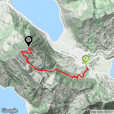
ROUTE MAP
MEMBER RATING
CURRENT WEATHER
PJAMM TRIPS ADVENTURE STARTER BUNDLES
Check out PJAMM Adventure's prepackaged (self-guided) cycling trips. They will help you plan, document and conquer your next adventure.
NEARBY CLIMBS (0) RADIAL PROXIMITY
FROM No Climbs Found
MEMBER REVIEWS & COMMENTS
Let us know what you thought of this climb. Signup for our FREE membership to write a review or post a comment.
Already have an account?
LOG IN HERE
NickPayne

Did this climb on my touring bike, and was very glad of the low gears I had available. Definitely the hardest climb I can remember doing - there were some short sections that were so steep I had to stand and lean forward over the handlebars to stop the front wheel coming off the ground on each pedal-stroke. The views on the way up and from the top really are fantastic.