36.4
PDI
10.7 mi
DISTANCE
4,833 ft
GAINED
8.4 %
AVG. GRADE
FULL CLIMB STATS
Page Contributor(s): Ard Oostra, Montreux, Switzerland
INTRO
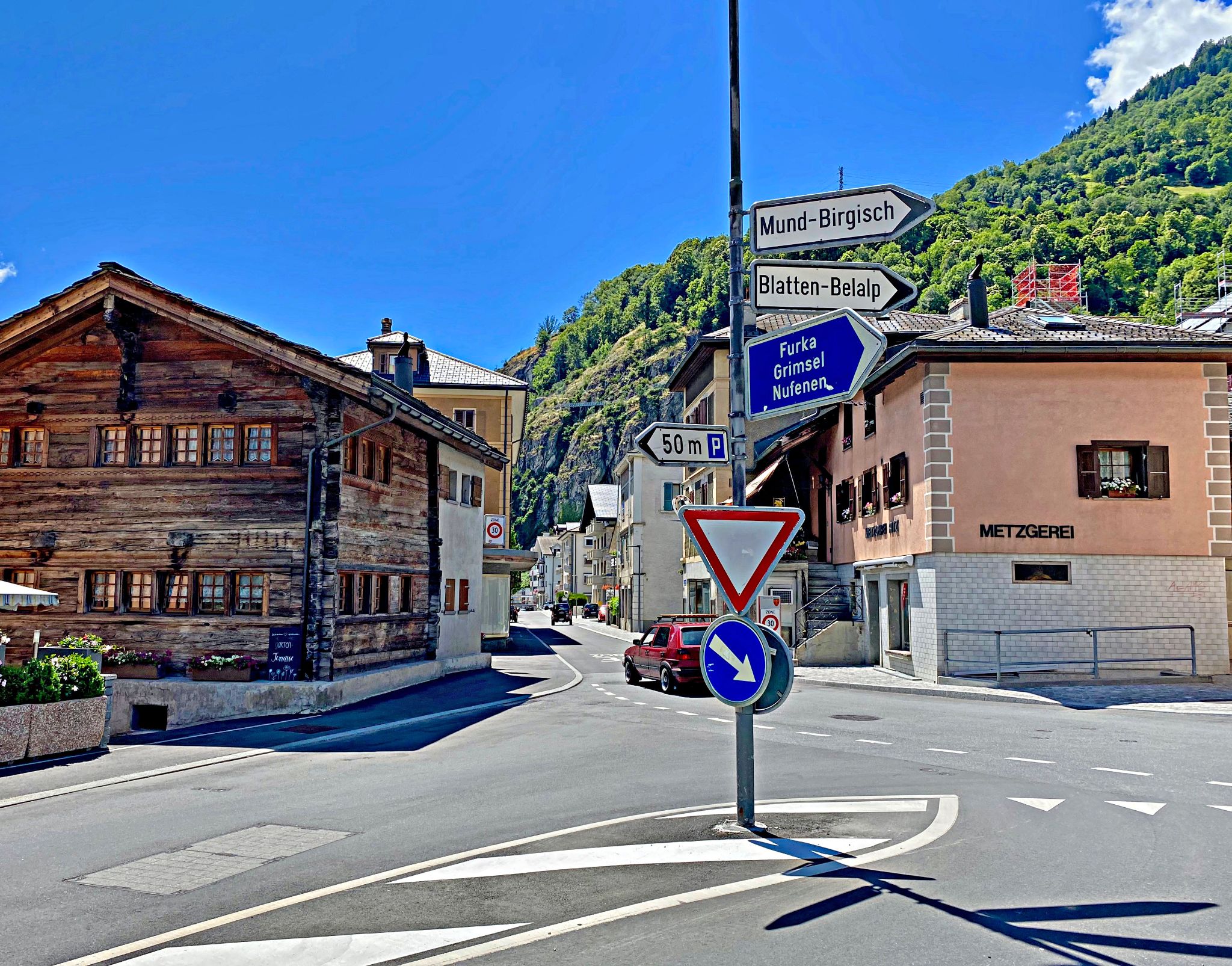
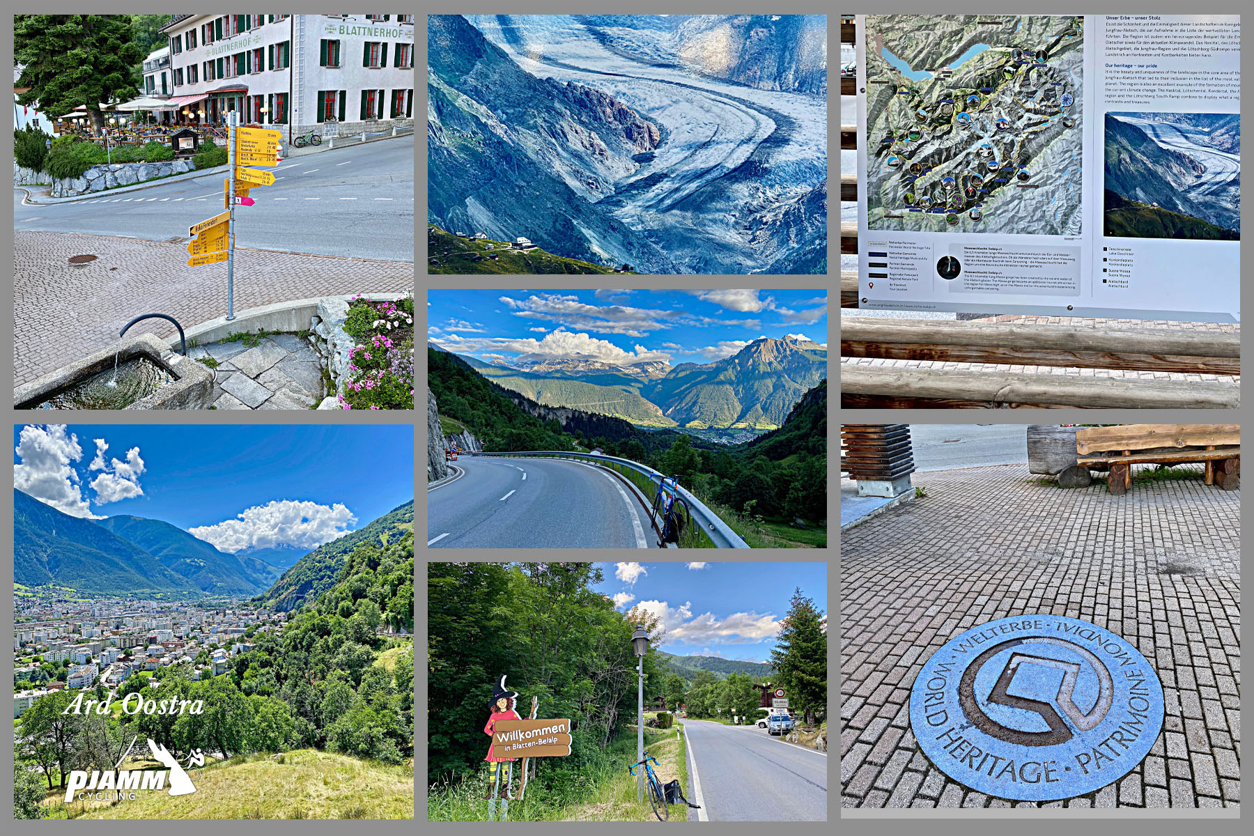
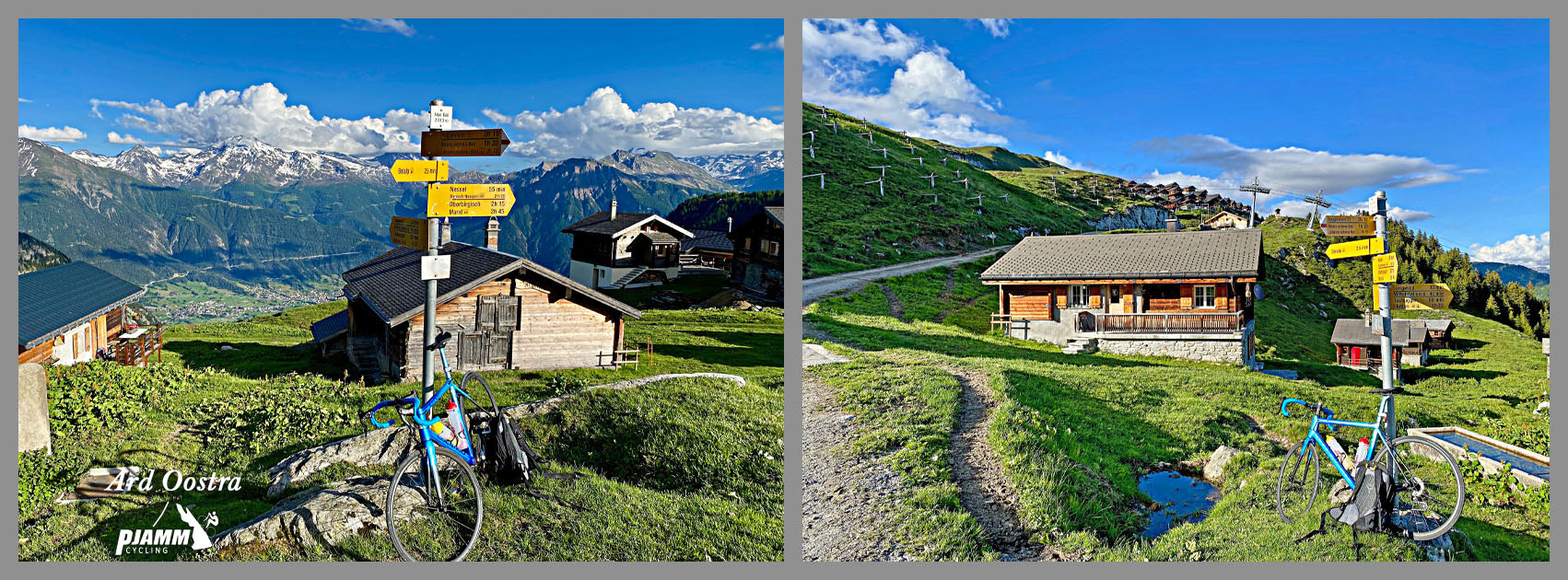
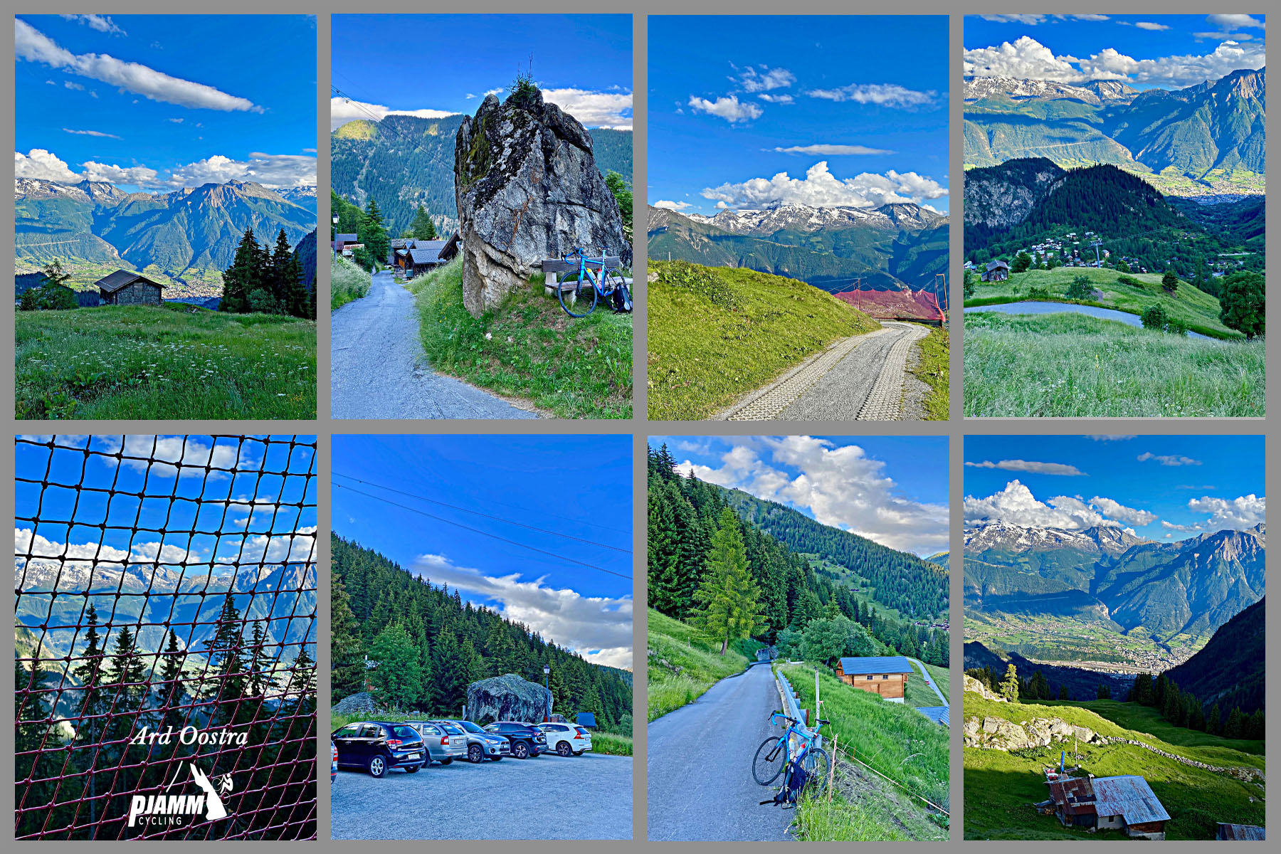
Belalp climbs 17.3 km (10.7 mi) out of Naters in Switzerland's Valais, gaining 1,473 m (4,833 ft) at an average grade of 8.4% to the car-free mountain village of Belalp, at roughly 2,130 m (6,984 ft) beneath the Aletsch Glacier.
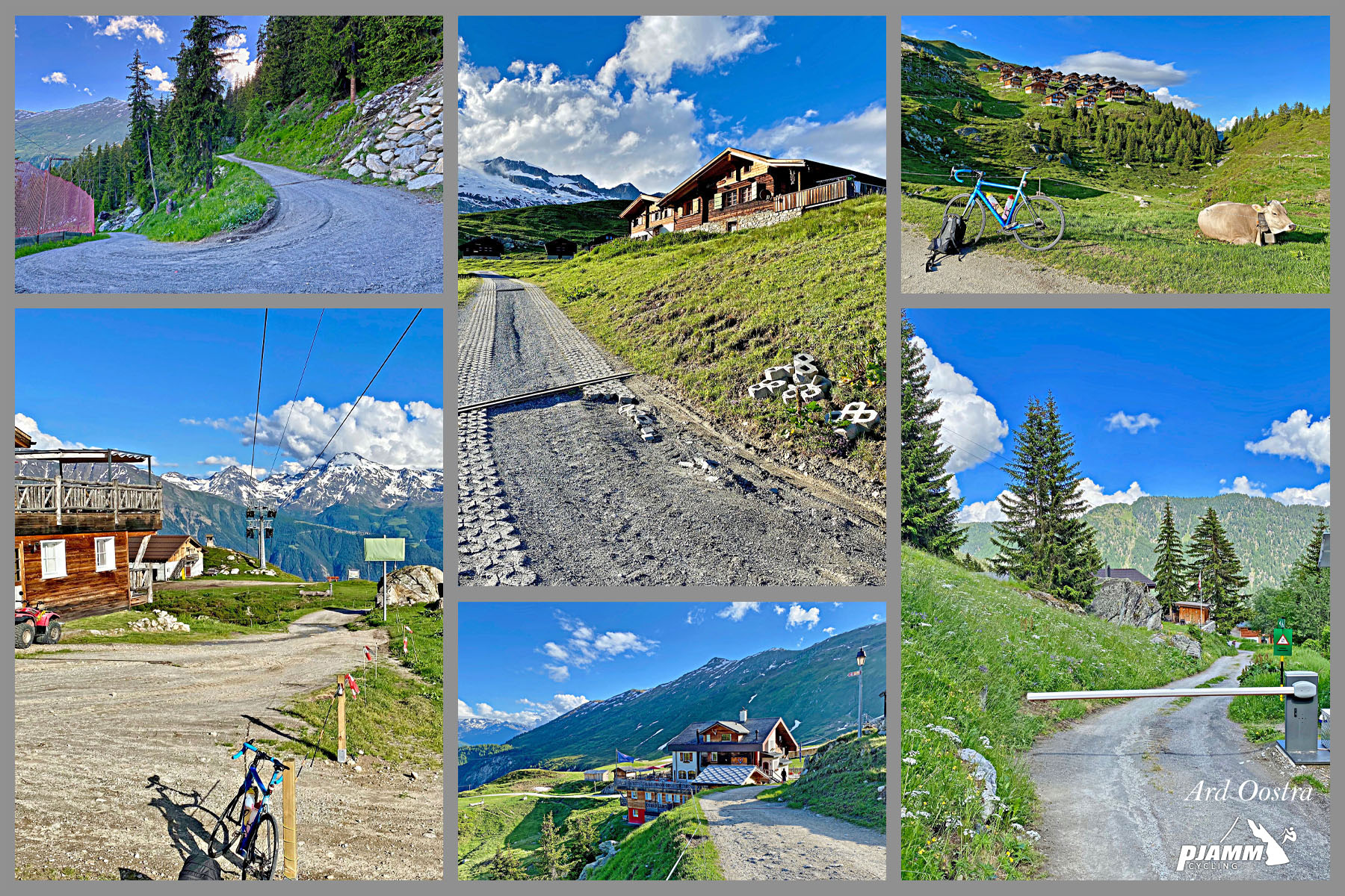
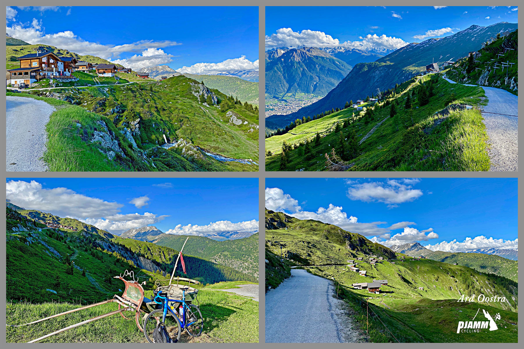
Pavement holds for most of the distance before giving way to hard-packed gravel for the final several kilometers into the village - manageable on a standard road bike according to rider reports, though it's a genuinely steep, rough finish rather than a gentle cooldown. Belalp itself bans private cars entirely; its hotels and handful of residents are served by the Blatten-Belalp cable car, which is part of why the upper stretches of this climb see almost no motor traffic at all.
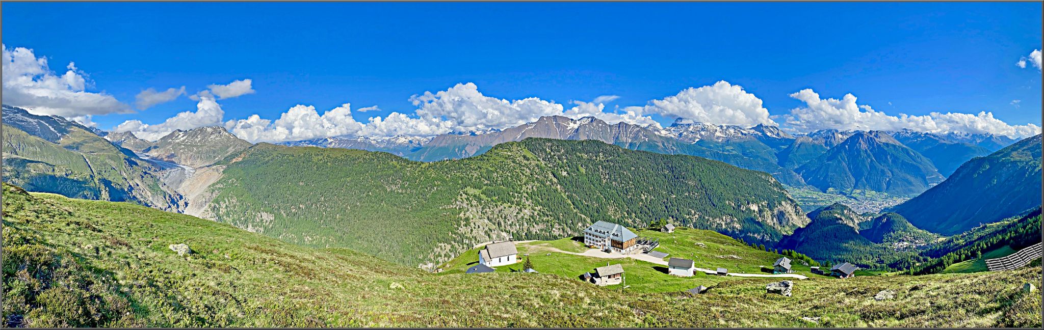
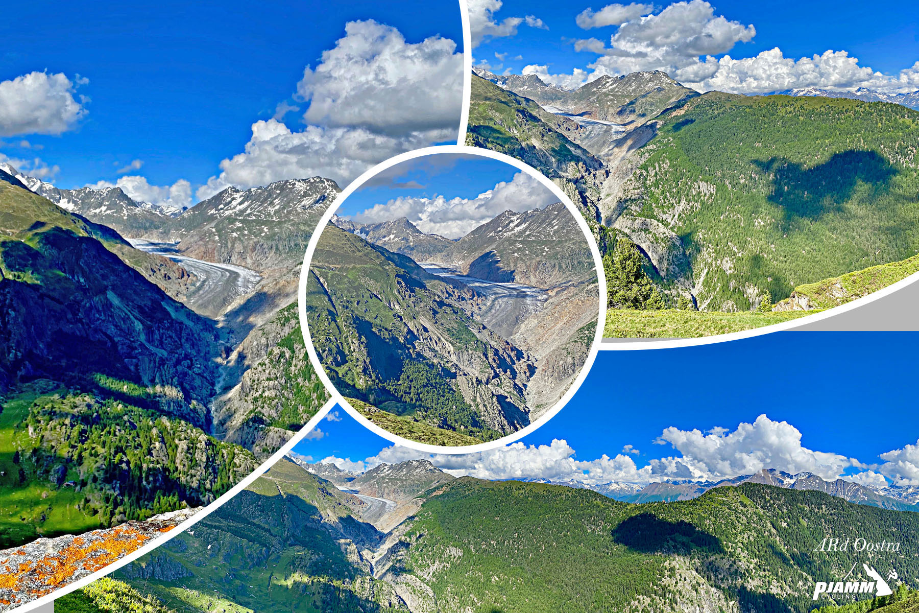
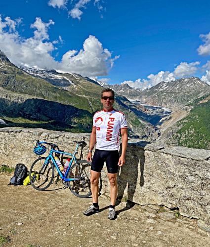
The payoff at the top is one of the best in the Valais: Belalp sits at the edge of the Aletsch Forest with trails leading to viewpoints over the Great Aletsch Glacier, the largest glacier in the Alps and part of the Jungfrau-Aletsch UNESCO World Heritage Site. This climb currently ranks #148 in the world by difficulty - one of the tougher ascents in a canton that's full of them.
PLAN YOUR ROUTE
 We've partnered with Sherpa-Map.com to bring you the best route planning tool. With a PRO Membership you can use this climb as a reference when creating your route.
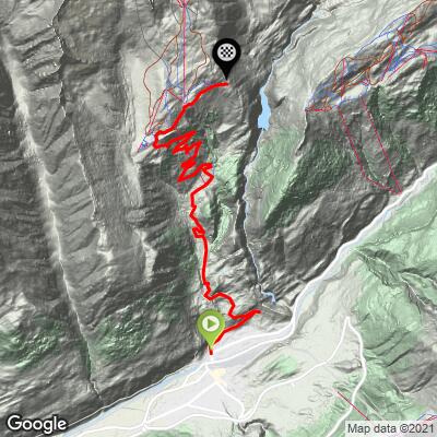
 Belalp runs 17.3 km (10.7 mi) from Naters, gaining 1,473 m (4,833 ft) at an average grade of 8.4%.
The steepest riding is concentrated over short stretches rather than one dominant wall: the steepest quarter-mile averages 16.0%, and the steepest full mile 12.6%. Even the steepest 5 miles still average 10.2%, and the steepest 10 km holds at 10.1% - this is a climb with essentially no easy sections, sustaining double-digit grades over long stretches rather than easing between ramps.
That sustained steepness, combined with the rough gravel finish, is what places Belalp among the more difficult ascents in the Valais - and among the tougher climbs in PJAMM's global database.
Roadway: Paved from Naters to around kilometer 11.2 (roughly two-thirds of the way up), where the surface turns to hard-packed dirt and gravel for the rest of the climb into Belalp. Rider reports describe the gravel as manageable on a standard road bike, though it's genuinely steep and rough in spots - not a casual finish. Belalp itself is a car-free village served by the Blatten-Belalp cable car rather than a public road for motor vehicles, part of why the upper climb stays so quiet.
Traffic: Light to moderate on the lower paved section out of Naters, dropping to essentially nothing once you're past Blatten bei Naters and onto the gravel, since no private cars use that stretch.
Parking: Free parking is available in Naters, about 800 m from the climb start - Map; Street View; route from parking to start.
Blatten bei Naters, around kilometer 4, and the summit village of Belalp itself both have restaurants and small shops for a resupply. Fill bottles in Naters before you start if you want the widest selection - there's no water source on the steep gravel stretch above Blatten.
Before heading out on any cycling adventure check out our Things to Bring on a Cycling Trip and use our interactive check list to ensure you don't forget anything.
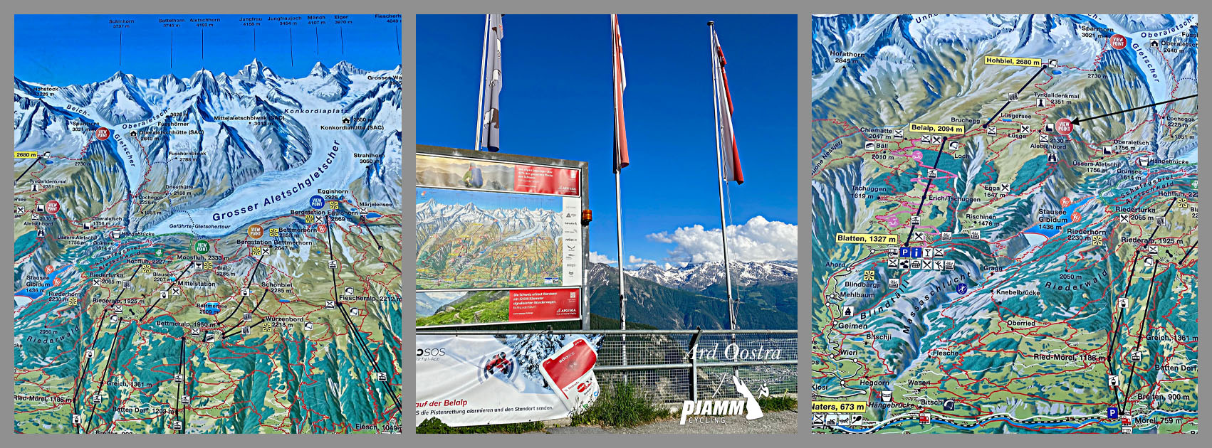
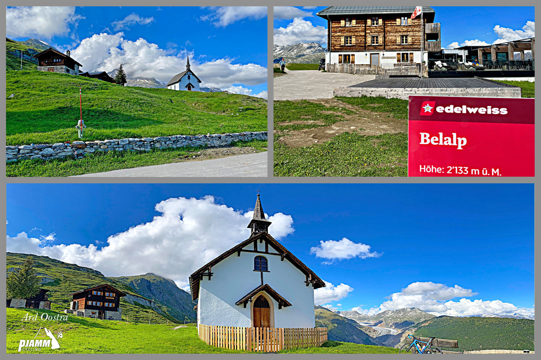
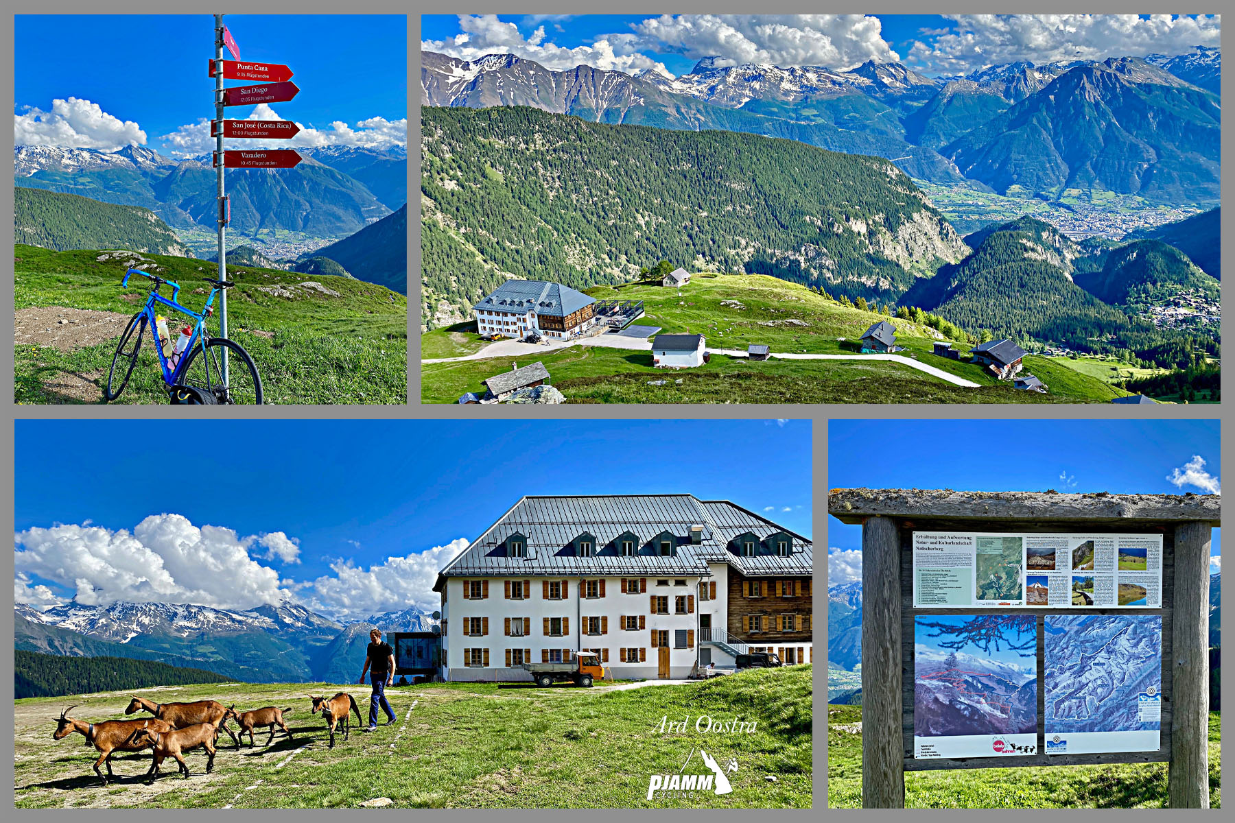
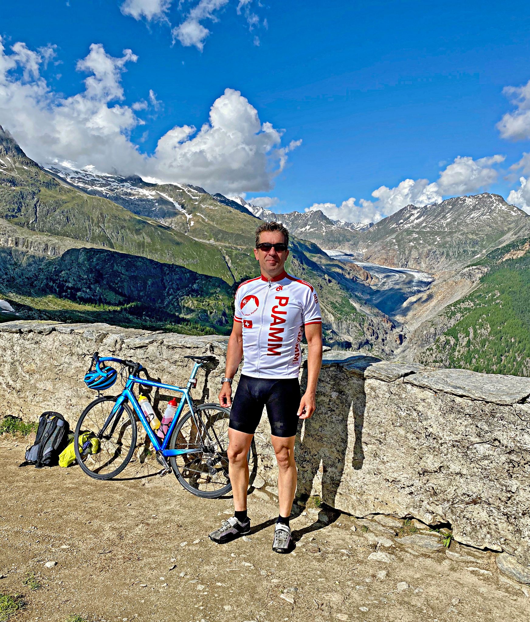
Belalp is one of the better glacier viewpoints reachable by bike in the Valais - from the village, it's a short walk out to the Belalp Forest and viewpoints over the Great Aletsch Glacier, the longest glacier in the Alps and part of the Jungfrau-Aletsch UNESCO World Heritage Site. The village has a handful of hotels and restaurants, though as a car-free destination its options are more limited than a full-size resort town.
Naters and neighboring Brig, at the base, have the area's full range of grocery stores, bike shops, and hotels for a multi-day trip, and Brig is a major Swiss rail hub if you'd rather arrive without a car.
This climb currently ranks #148 in the world by difficulty in our database, among the tougher ascents in a canton that's full of hard climbs. Naters is also the starting point for the Simplonpass, so if you're basing a trip here there's a second, very different climb right from the same town - a year-round international pass rather than a car-free glacier village. Use our Routes in the Area tool to see this and other nearby Valais climbs.
ROUTE MAP
MEMBER RATING
CURRENT WEATHER
PJAMM TRIPS ADVENTURE STARTER BUNDLES
Check out PJAMM Adventure's prepackaged (self-guided) cycling trips. They will help you plan, document and conquer your next adventure.
NEARBY CLIMBS (0) RADIAL PROXIMITY
FROM No Climbs Found
MEMBER REVIEWS & COMMENTS
Let us know what you thought of this climb. Signup for our FREE membership to write a review or post a comment.
Already have an account?
LOG IN HERE