4.2
PDI
3.3 mi
DISTANCE
868 ft
GAINED
4.9 %
AVG. GRADE
FULL CLIMB STATS
Page Contributor(s): Dan Razum, San Jose, CA
INTRO
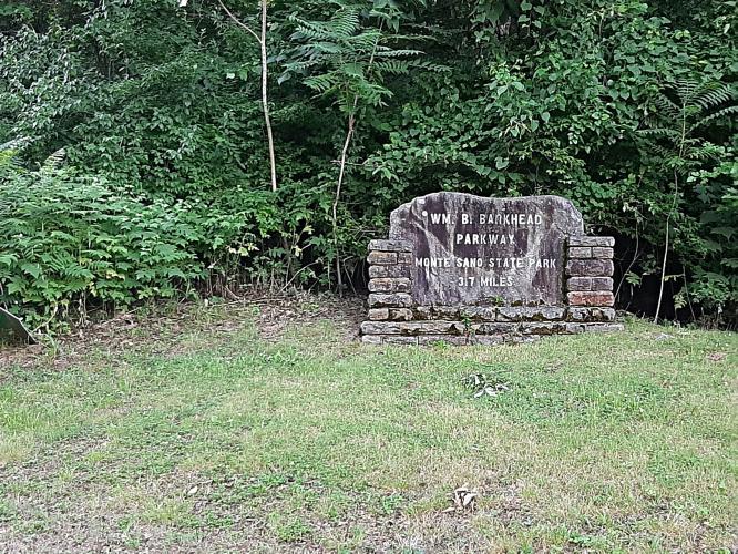
This 3.3 mile bike climb is located in AL, USA. The average gradient is 4.9% and there is a total elevation gain of 868 ft, finishing at 1,574 ft.
Use the profile tool, route map, and weather forecast to conquer this cycling climb.
Use the profile tool, route map, and weather forecast to conquer this cycling climb.
PLAN YOUR ROUTE
See more details and tools regarding this climb's grade via our interactive Profile Tool.
Information Not Available
If you have any information regarding this climb, we'd like to hear from you. Click the CONTRIBUTE button to share your thoughts with us.
Information Not Available
If you have any information regarding this climb, we'd like to hear from you. Click the CONTRIBUTE button to share your thoughts with us.
Before heading out on any cycling adventure check out our Things to Bring on a Cycling Trip and use our interactive check list to ensure you don't forget anything.
Information Not Available
If you have any information regarding this climb, we'd like to hear from you. Click the CONTRIBUTE button to share your thoughts with us.
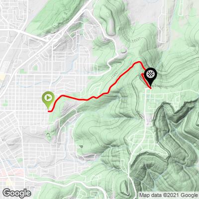
ROUTE MAP
MEMBER RATING
CURRENT WEATHER
PJAMM TRIPS ADVENTURE STARTER BUNDLES
Check out PJAMM Adventure's prepackaged (self-guided) cycling trips. They will help you plan, document and conquer your next adventure.
NEARBY CLIMBS (0) RADIAL PROXIMITY
FROM No Climbs Found
MEMBER REVIEWS & COMMENTS
Let us know what you thought of this climb. Signup for our FREE membership to write a review or post a comment.
Already have an account?
LOG IN HERE
mbrothers


Beginning and end sections are on the steeper end (8-12 pct) but with the break in the middle you can easily catch your breath. The climb itself has good views of the surrounding land and some rock features that provide a nice backdrop for the climb. You can either keep the road and do some switch backs at the top or proceed on a closed, bumpy road to a scenic overlook (lower gradient)
Traffic exists, but is pleasant and seems used to cyclists. Big plateau on top of the mountain/ridge line with scenic views.