20.6
PDI
11.5 mi
DISTANCE
3,689 ft
GAINED
5.9 %
AVG. GRADE
FULL CLIMB STATS
INTRO
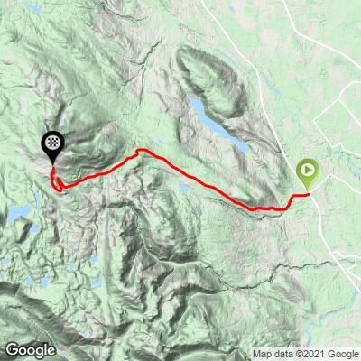
This 11.5 mile bike climb is located in British Columbia, Canada. The average gradient is 5.9% and there is a total elevation gain of 3,689 ft, finishing at 3,906 ft.
Use the profile tool, route map, and weather forecast to conquer this cycling climb.
Use the profile tool, route map, and weather forecast to conquer this cycling climb.
PLAN YOUR ROUTE
See more details and tools regarding this climb's grade via our interactive Profile Tool.
Information Not Available
If you have any information regarding this climb, we'd like to hear from you. Click the CONTRIBUTE button to share your thoughts with us.
Information Not Available
If you have any information regarding this climb, we'd like to hear from you. Click the CONTRIBUTE button to share your thoughts with us.
Before heading out on any cycling adventure check out our Things to Bring on a Cycling Trip and use our interactive check list to ensure you don't forget anything.
Information Not Available
If you have any information regarding this climb, we'd like to hear from you. Click the CONTRIBUTE button to share your thoughts with us.
ROUTE MAP
MEMBER RATING
CURRENT WEATHER
PJAMM TRIPS ADVENTURE STARTER BUNDLES
Check out PJAMM Adventure's prepackaged (self-guided) cycling trips. They will help you plan, document and conquer your next adventure.
NEARBY CLIMBS (0) RADIAL PROXIMITY
FROM No Climbs Found
MEMBER REVIEWS & COMMENTS
Let us know what you thought of this climb. Signup for our FREE membership to write a review or post a comment.
Already have an account?
LOG IN HERE
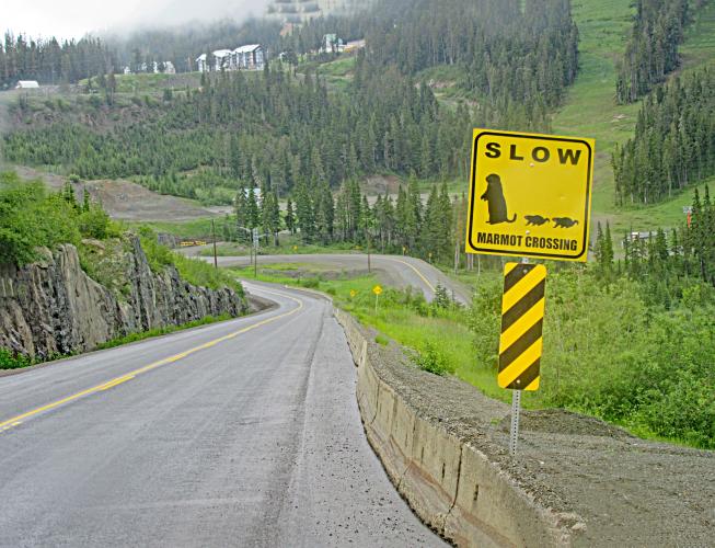
JohnTopham


I didn't use my lowest gears or stop for a break but this climb still got the better of me. I highly recommend taking a cable lock and going for hike. Follow the signs to Raven Lodge. You can lock to a fence then hike Paradise Meadows or do the loop to Lake Helen Mackenzie and Battleship Lake. Distance for these hikes are 4 to 8 km and they relatively flat. I rated the scenery as 5 because of the hike, without the hike it would only be 3 or 4.