20.3
PDI
11.9 mi
DISTANCE
3,671 ft
GAINED
5.9 %
AVG. GRADE
FULL CLIMB STATS
Page Contributor(s): Ard Oostra, Montreux, Switzerland
INTRO
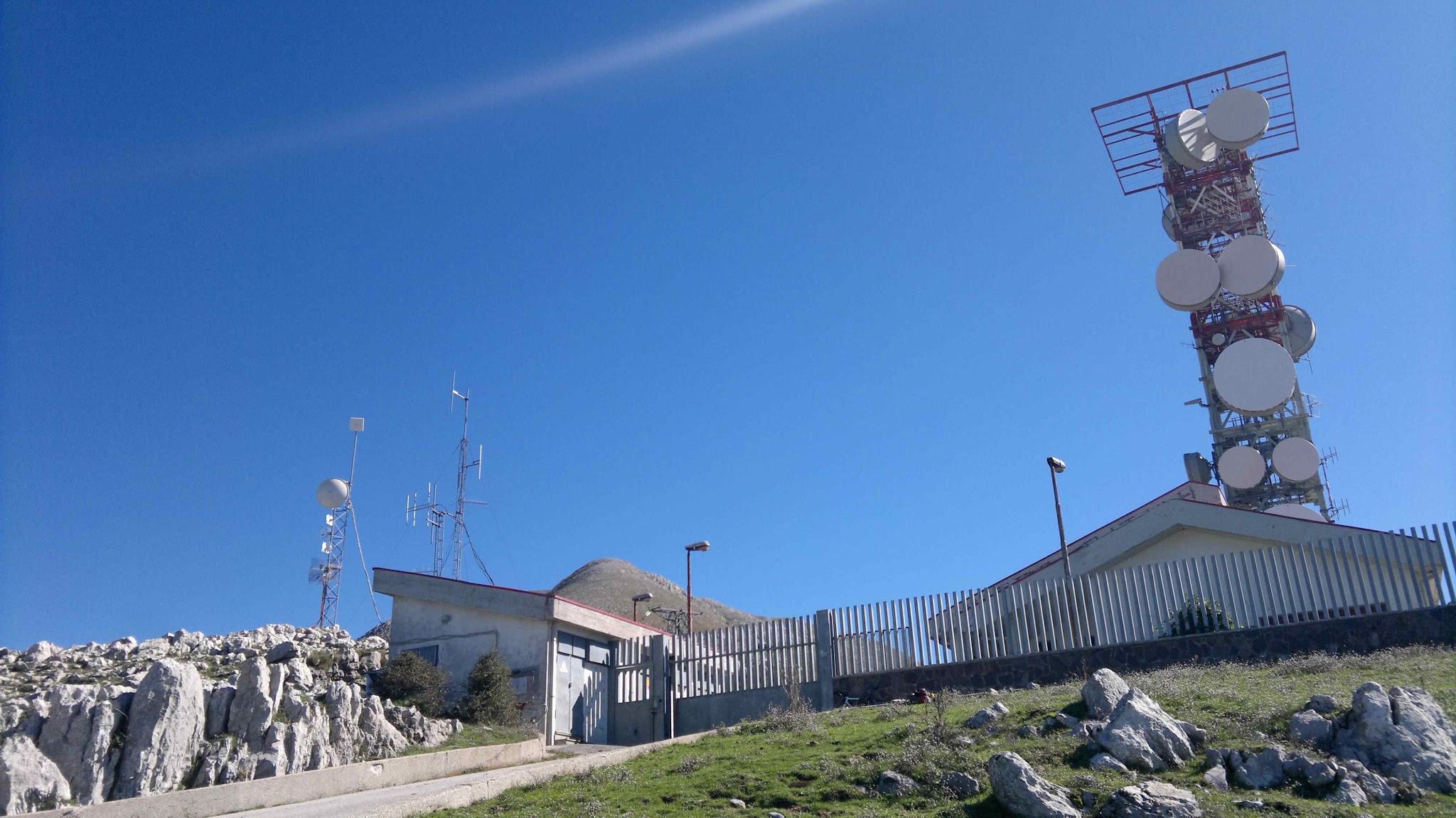
Serra di Tuono climbs 19.1 km (11.9 mi) from the seaside town of Sapri, on the Gulf of Policastro in southern Campania, up to the Serra del Tuono ridge, ending at 1,134 m (3,722 ft) beside the transmitter masts. It gains 1,119 m (3,671 ft) at a 5.9% average grade and ranks #961 on our list of the world's hardest climbs.
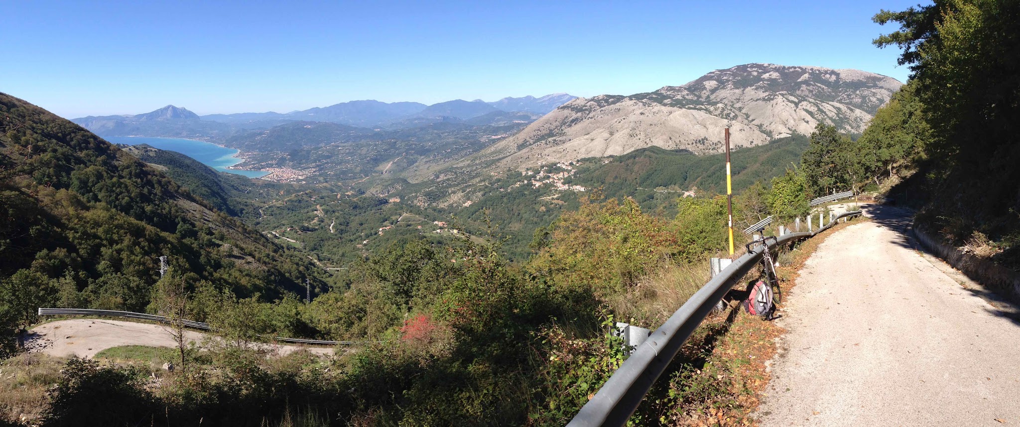
That average hides two very different climbs. For the first 15 km (9.3 mi) the road follows the valley inland on grades of about 4%, easy riding that puts you at about 640 m (2,100 ft) without much effort. Then the road leaves the valley for a narrow branch and turns brutal: the last 4 km (2.5 mi) climb at about 12.6% on average, with the steepest kilometer at 15.4%, and the route has about ten hairpins on the way up.
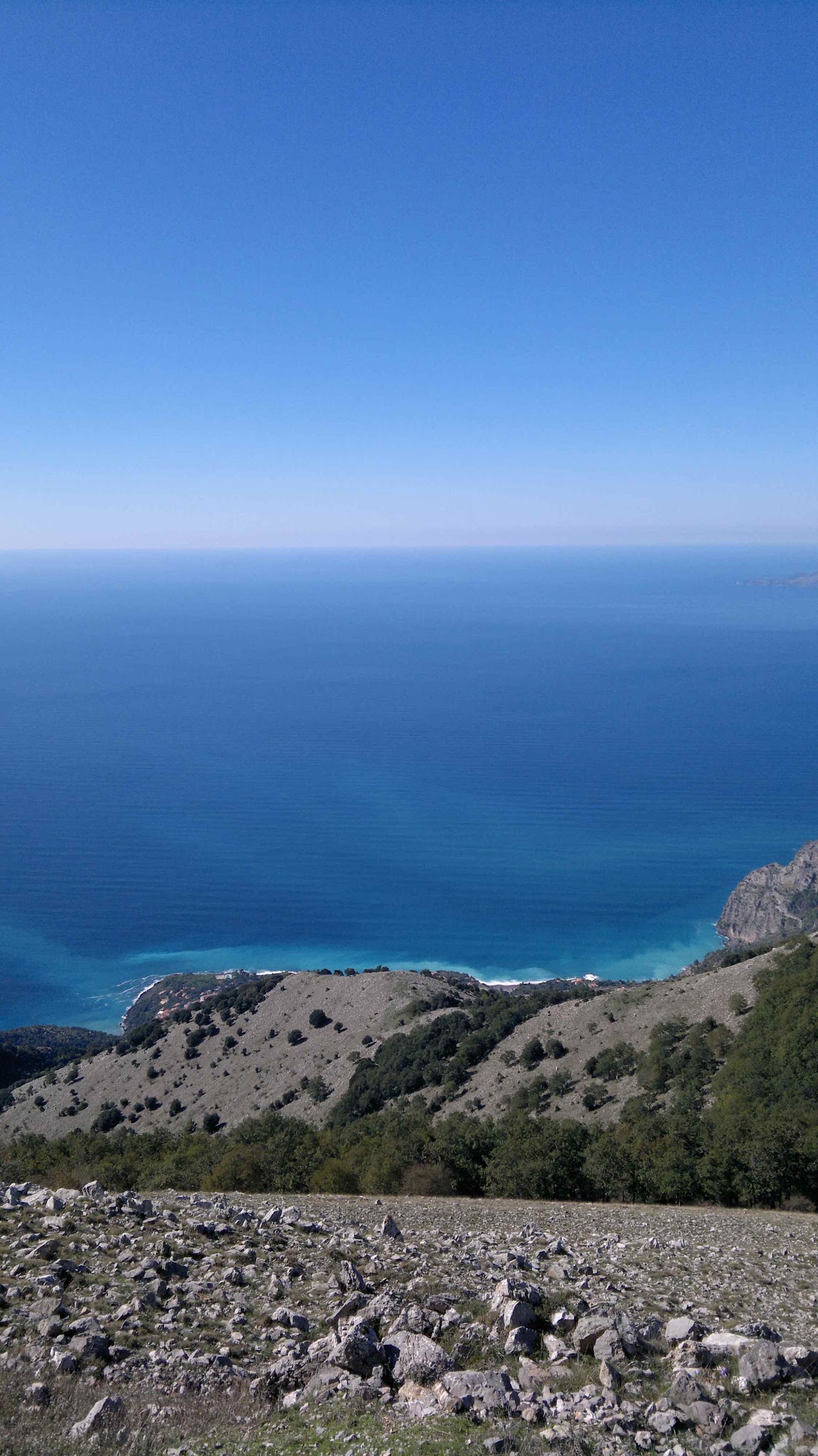
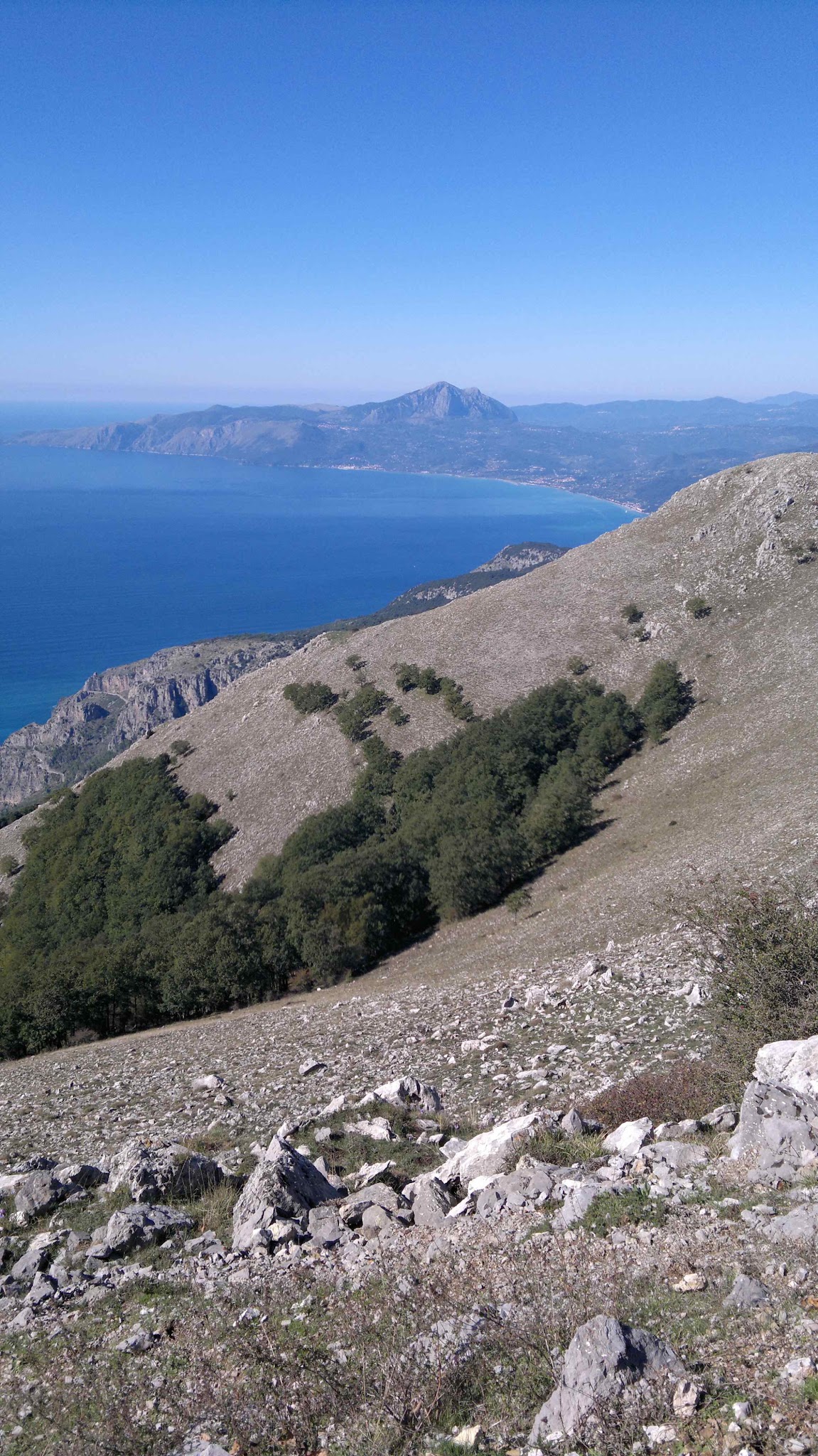
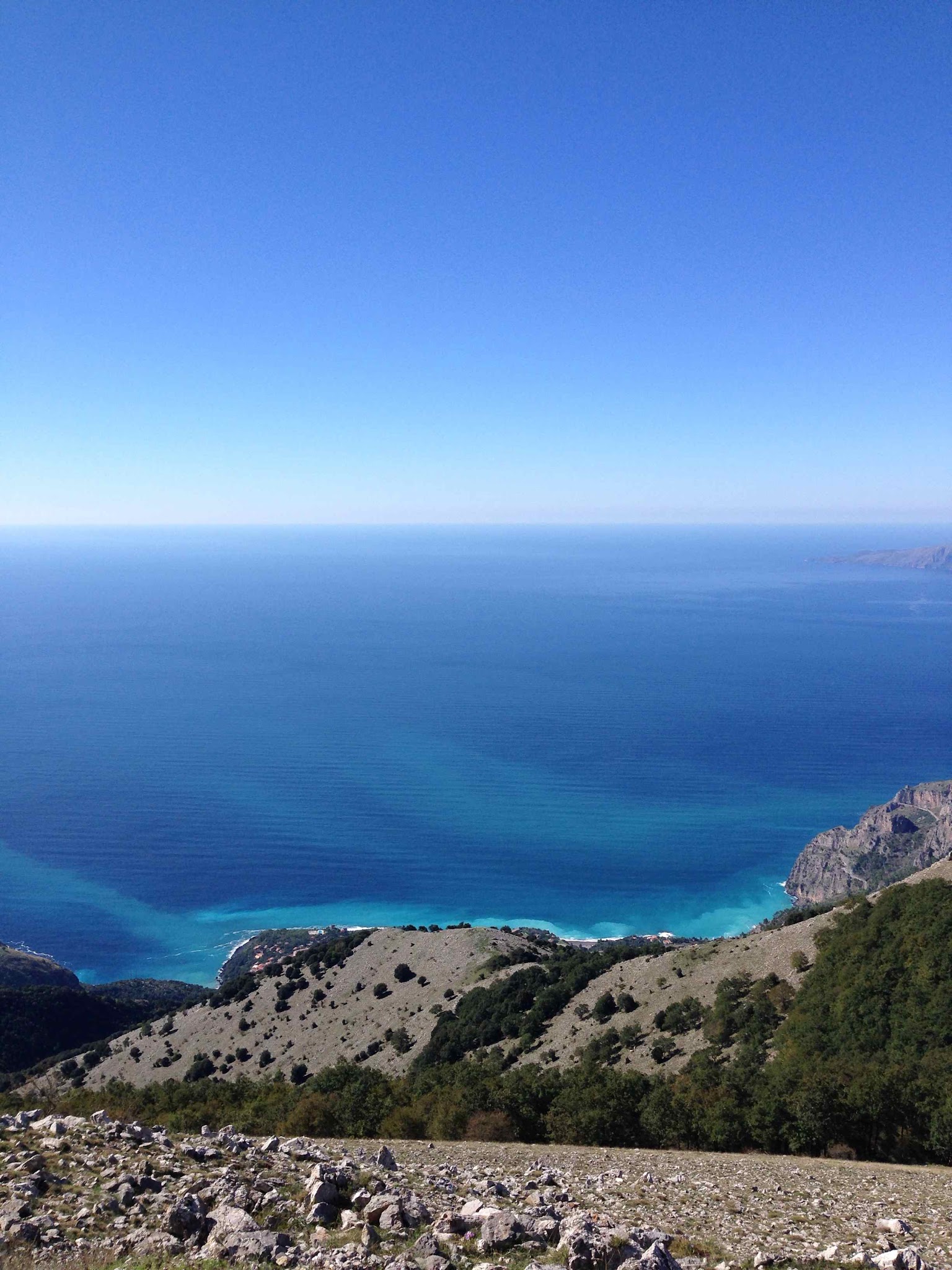
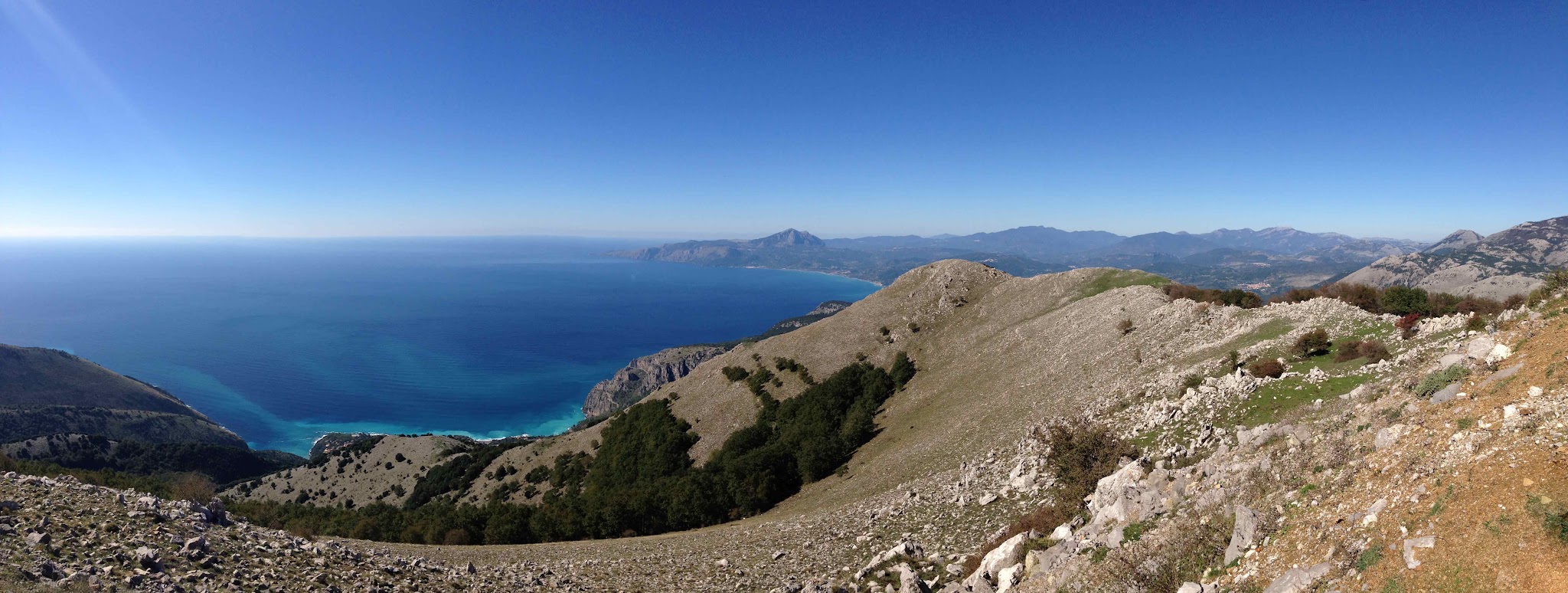
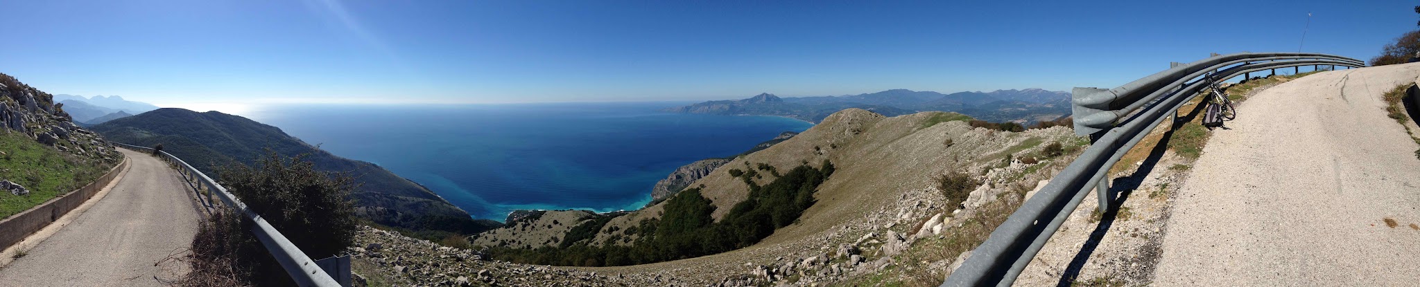
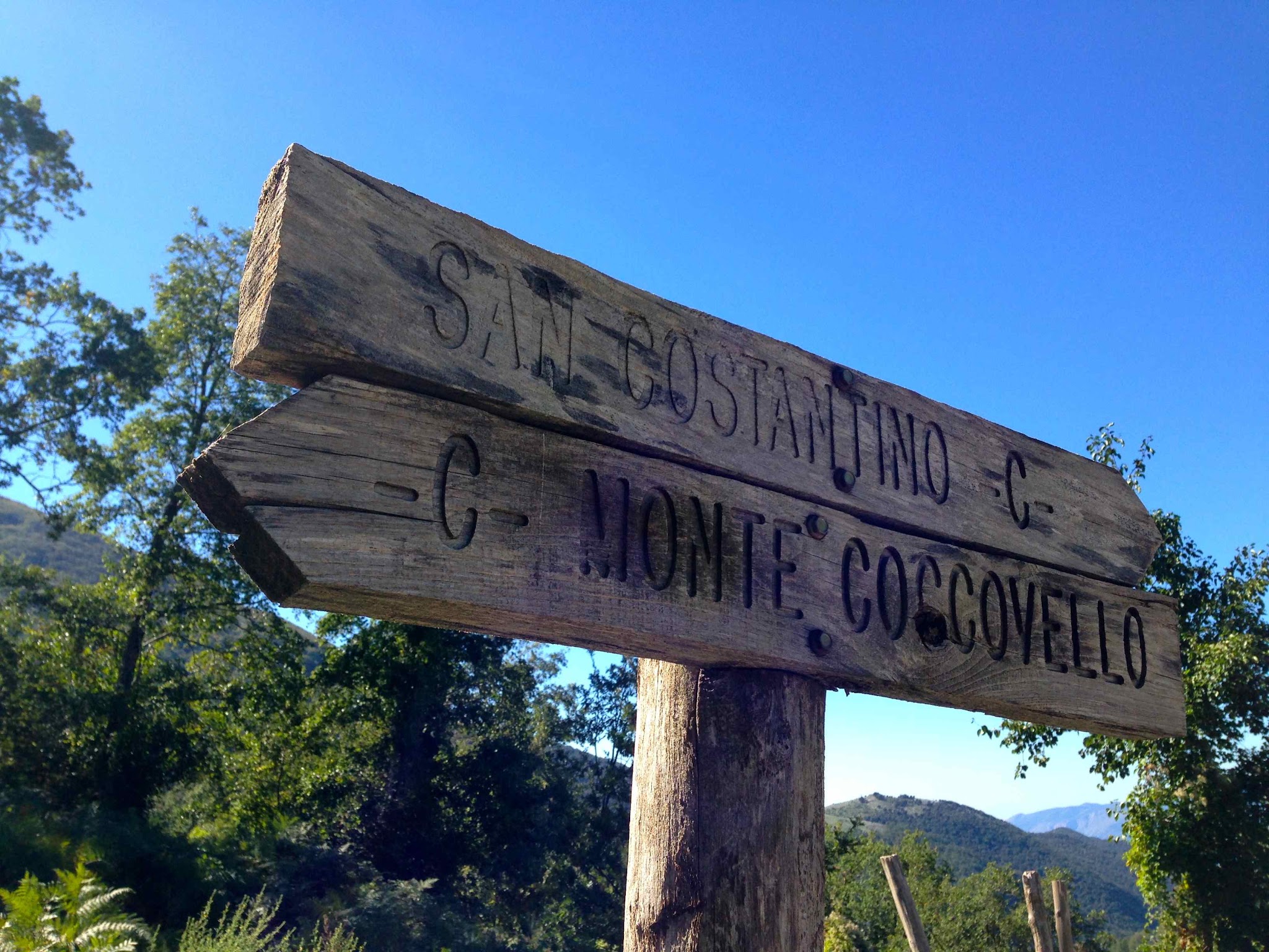
The road is paved all the way to the summit masts. From the last hairpin at about 1,095 m (3,593 ft), a footpath leads on to Monte Coccovello (1,511 m / 4,957 ft), and the ridge looks out over Sapri, the Gulf of Policastro and the Sirino range. The long approach and the hard finish make this a climb of two halves.
PLAN YOUR ROUTE
 We've partnered with Sherpa-Map.com to bring you the best route planning tool. With a PRO Membership you can use this climb as a reference when creating your route.
Serra di Tuono covers 19.1 km (11.9 mi) and 1,119 m (3,671 ft) at a 5.9% average, from 16 m (51 ft) in Sapri to 1,134 m (3,722 ft) at the top. The steepest 0.5 km (0.3 mi) averages 15.8%, the steepest 1 km (0.6 mi) 15.4%, the steepest 2 km (1.2 mi) 14.6%, the steepest 5 km (3.1 mi) 11.2% and the steepest 10 km (6.2 mi) 7.6%.
The climb is easiest to understand in two halves. For the first 15 km (9.3 mi) the grade stays between about 3.2% and 4.7%, a steady false flat that never asks much of you. The change comes around 15 km (9.3 mi), where the next kilometers run at 8.9%, 13.8%, 15.3% and 12.8% before the final stretch of 12.0% to the end. That puts about 450 m (1,476 ft) of climbing into the last 3.2 km (2.0 mi). Save your legs on the approach, because the finish will punish any wasted effort.
Roadway: The route follows the state road from Sapri toward Lagonegro, then turns onto a narrow side road at the Contrada Palazzo junction near the Gola dell'Eco pass. That side road is asphalted all the way to the transmitter masts on the Serra del Tuono ridge, though it is narrow and not signposted at the junction.
Traffic: Normal local and through traffic on the valley road, then very little on the side road, which only serves the transmitter site and the trailhead for Monte Coccovello.
Parking: Sapri is a seaside town with a station on the Battipaglia to Reggio di Calabria railway line, so you can arrive by train and start from the center. At the top, hikers heading for Monte Coccovello park at the last hairpin, at about 1,095 m (3,593 ft).
Gear: The final 4 km (2.5 mi) call for a compact crankset with a 32 to 34 tooth rear cog, ideally with a gear to spare at 15% grades. Choose your clothing for a big change in temperature between the coast and the 1,100 m (3,609 ft) ridge, where it is windy.
Provisions: There is nothing on the narrow upper road, and the climb is long, so start with full bottles and food. Fill up in Sapri or on the valley road before turning off at the junction.
Before heading out on any cycling adventure check out our Things to Bring on a Cycling Trip and use our interactive check list to ensure you don't forget anything.
Sapri is a good base on the Gulf of Policastro and the southern tip of Cilento. It is best known as the place where Carlo Pisacane and his small band of republicans landed in 1857 in a failed uprising, remembered in Luigi Mercantini's poem La spigolatrice di Sapri. A monument and statue stand in the Villa Comunale, and a bronze Spigolatrice sculpture stands on the Scialandro rock. On 15 June the town celebrates its patron, St. Vito, with carpets of flowers around the San Vito well, and there is a coastal path called Apprezzami l'Asino toward Maratea.
Maratea is only about 10 km (6.2 mi) away over the border in Basilicata, and it has a cluster of its own climbs, including Cristo di Maratea, Monte Sirino and Passo Colla. Our Routes in the Area tool is a good way to see how they connect with Sapri and plan a longer day.
ROUTE MAP

MEMBER RATING
CURRENT WEATHER
PJAMM TRIPS ADVENTURE STARTER BUNDLES
Check out PJAMM Adventure's prepackaged (self-guided) cycling trips. They will help you plan, document and conquer your next adventure.
NEARBY CLIMBS (0) RADIAL PROXIMITY
FROM No Climbs Found
MEMBER REVIEWS & COMMENTS
Let us know what you thought of this climb. Signup for our FREE membership to write a review or post a comment.
Already have an account?
LOG IN HERE