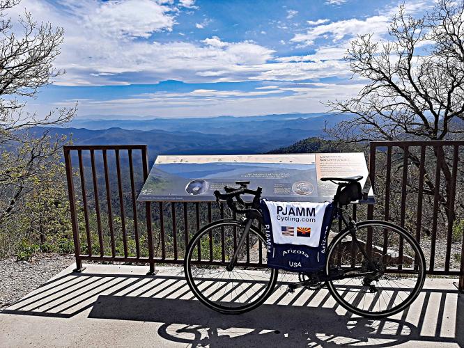
Page Contributor(s): Dan Razum, Campbell, CA, USA
INTRO
Use the profile tool, route map, and weather forecast to conquer this cycling climb.
PLAN YOUR ROUTE
 We've partnered with Sherpa-Map.com to bring you the best route planning tool. With a PRO Membership you can use this climb as a reference when creating your route.
 See more details and tools regarding this climb's grade via our interactive Profile Tool.
If you have any information regarding this climb, we'd like to hear from you. Click the CONTRIBUTE button to share your thoughts with us.
If you have any information regarding this climb, we'd like to hear from you. Click the CONTRIBUTE button to share your thoughts with us.
ROUTE MAP


