Nenana FAA Hill Climb Bike Climb - PJAMM Cycling

9.6
PDI
2.6 mi
DISTANCE
1,254 ft
GAINED
9.1 %
AVG. GRADE

FULL CLIMB STATS

Page Contributor(s): Bryant Robbins, Palmer, AK, USA

INTRO

This 2.6 mile bike climb is located in AK, USA. The average gradient is 9.1% and there is a total elevation gain of 1,254 ft, finishing at 1,540 ft.

Use the profile tool, route map, and weather forecast to conquer this cycling climb.

PLAN YOUR ROUTE

We've partnered with Sherpa-Map.com to bring you the best route planning tool. With a PRO Membership you can use this climb as a reference when creating your route.

See more details and tools regarding this climb's grade via our interactive Profile Tool.
Information Not Available

If you have any information regarding this climb, we'd like to hear from you. Click the CONTRIBUTE button to share your thoughts with us.

Information Not Available

If you have any information regarding this climb, we'd like to hear from you. Click the CONTRIBUTE button to share your thoughts with us.

Before heading out on any cycling adventure check out our Things to Bring on a Cycling Trip and use our interactive check list to ensure you don't forget anything.
Information Not Available

If you have any information regarding this climb, we'd like to hear from you. Click the CONTRIBUTE button to share your thoughts with us.

ROUTE MAP

MEMBER RATING

Not Yet Rated
-
Road
-
Traffic
-
Scenery

CURRENT WEATHER

PJAMM TRIPS ADVENTURE STARTER BUNDLES

Check out PJAMM Adventure's prepackaged (self-guided) cycling trips. They will help you plan, document and conquer your next adventure.
ALL TRIPS
Browse all of our prepackaged trips and find your next adventure!
Alaska
United States (AK)
22 ROUTES
17 POIs
ROUTE STATS (TOTAL)
287
mi
DISTANCE
43,151
ft
ELEV. GAIN

NEARBY CLIMBS (0) RADIAL PROXIMITY

FROM
No Climbs Found

MEMBER REVIEWS & COMMENTS

Let us know what you thought of this climb. Signup for our FREE membership to write a review or post a comment.
Already have an account?
ROUTE MAP
PROFILE TOOL
Route Data
S.G. (%)
hide
Segment Data
hide
CLIMB SUMMARY

Climb summary from our friend Bryant Robbins, Palmer, Alaska:

We did this ride on mountain bikes because we wanted to ride down a “trail” on the other side. Turns out the gravel was very smooth and it probably makes a better road ride than mountain bike ride because the “trail” turned out to be mostly a bushwack route.

Nenana is a tiny village located between Fairbanks and Denali National Park on the Parks Highway. It sits at the confluence of the Nenana and the Tanana Rivers.

Nenana’s biggest claim to fame is the annual Nenana Ice Classic. Participants buy a ticket for a chance to guess the time that the ice goes out on the Tanana River. People from all over Alaska participate and the ticket with the nearest guess wins a large pot of money. The actual time is determined by placing a huge “tripod” on the ice with a line attached to a clock. When the tripod falls into the river it pulls a string that stops the clock.

Nenana is named from the nearby river and Native American people living in the region.

Incorporated 1921, population 357 in 2019.

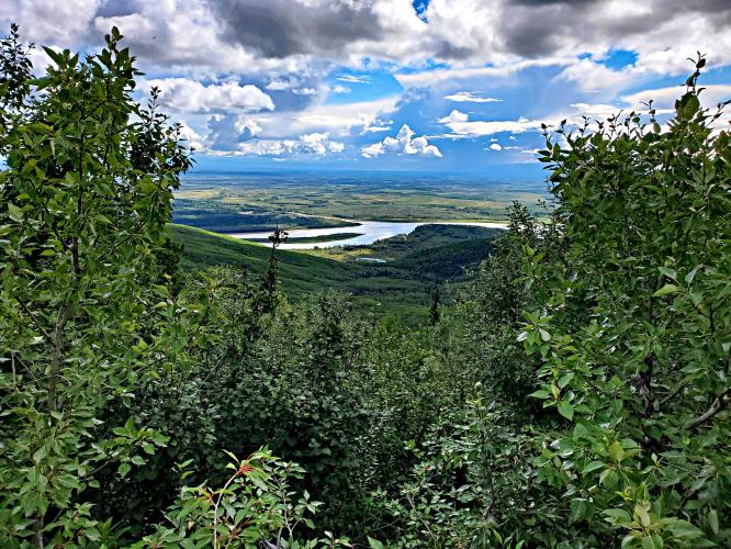
It is not a likely spot to find a cycle climb but it turns out that just across the river is a good gravel road used to access an FAA radio facility. With grades of 12 to 13 percent this climb is a nice challenge in an area otherwise devoid of climbing opportunities. This is probably the least known, easily accessible climb in Alaska.

A former boarding school teaching up 28 student from all over the region.

Mears Memorial Bridge (truss bridge built in 1932) - 700’ span across the Tanana River.

When completed, this was the longest truss span in the United States and its territories.