43.3
PDI
10 mi
DISTANCE
5,266 ft
GAINED
9.3 %
AVG. GRADE
FULL CLIMB STATS
INTRO
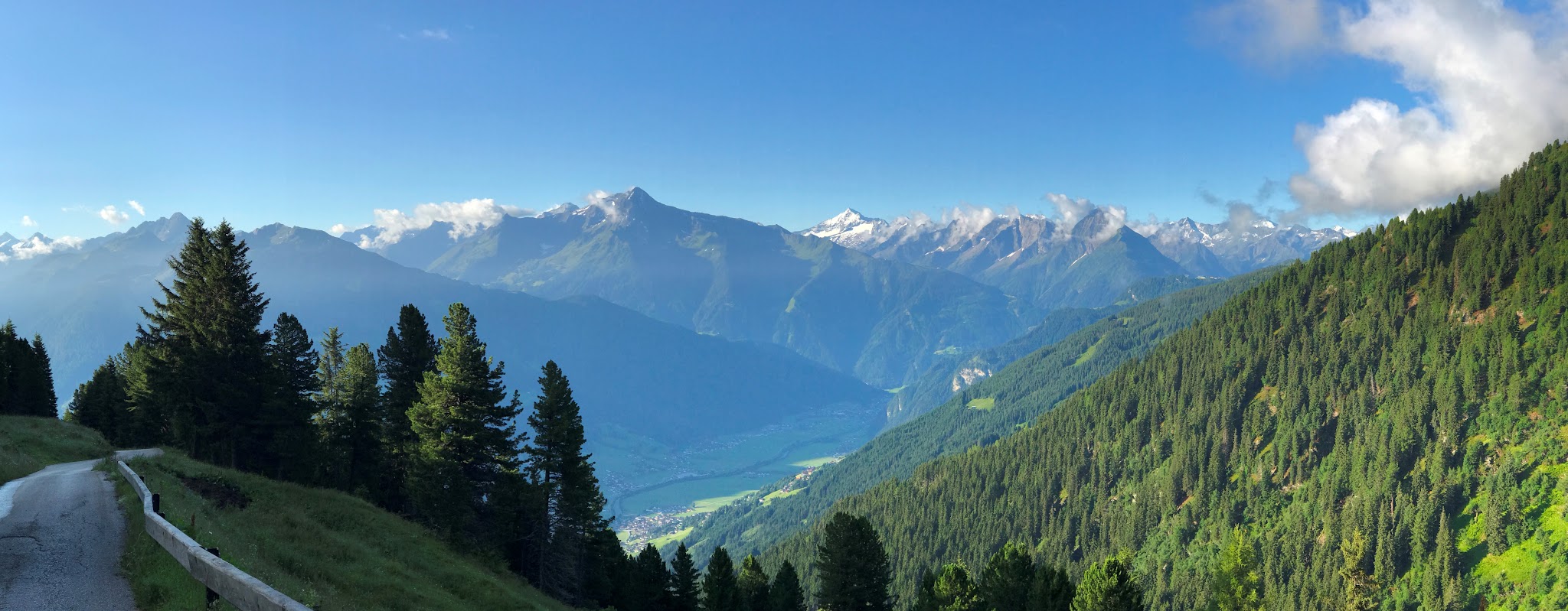
We LOVE this area! The Zillertal, in Tyrol, is home to an exceptional and little-known cluster of climbing - Aschau im Zillertal is one of five villages (along with Ried, Kaltenbach, Zellberg, and Hippach) that each send their own access road up to the Zillertaler Höhenstraße, a paved, seasonal toll road that laces together the high alpine shoulder above the valley. Several of our Top 100 World Climbs share pieces of this same road network, so riders based here can string together multiple legendary ascents in a single trip.
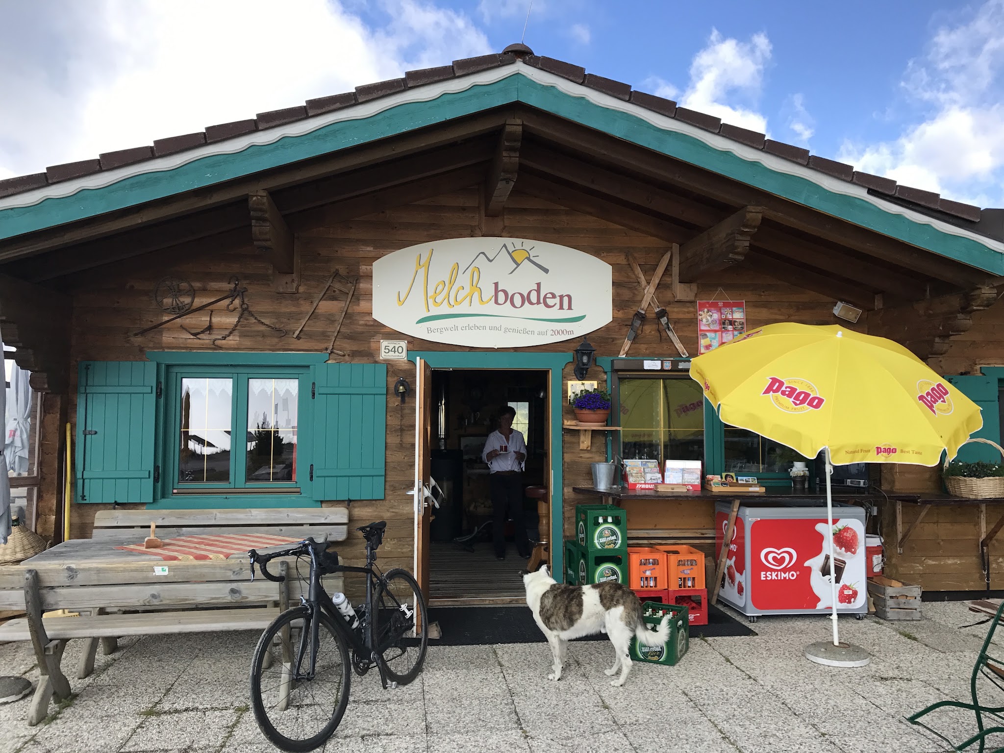
This particular route out of Aschau is brutal from the very first pedal stroke - the opening kilometer averages over 20%, among the steepest sustained openers of any climb in our database, before the grade eases into a long, still-demanding grind up toward the Zirmstadl reservoir and on to the Melchboden area near the Kristallhütte. Bring your lightest gearing.
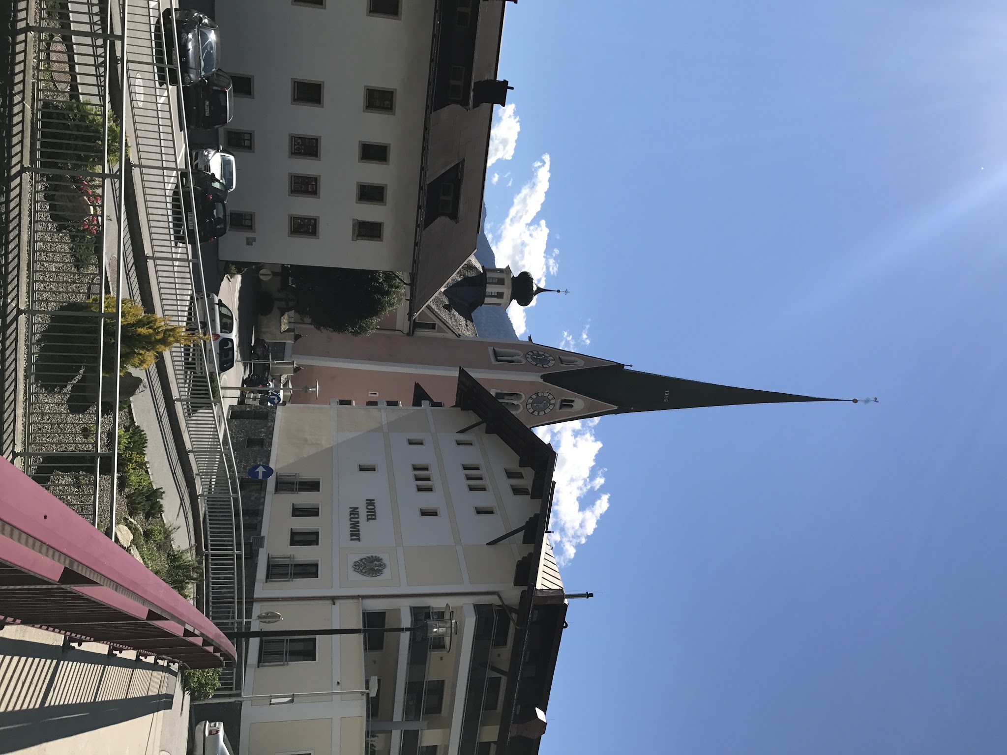
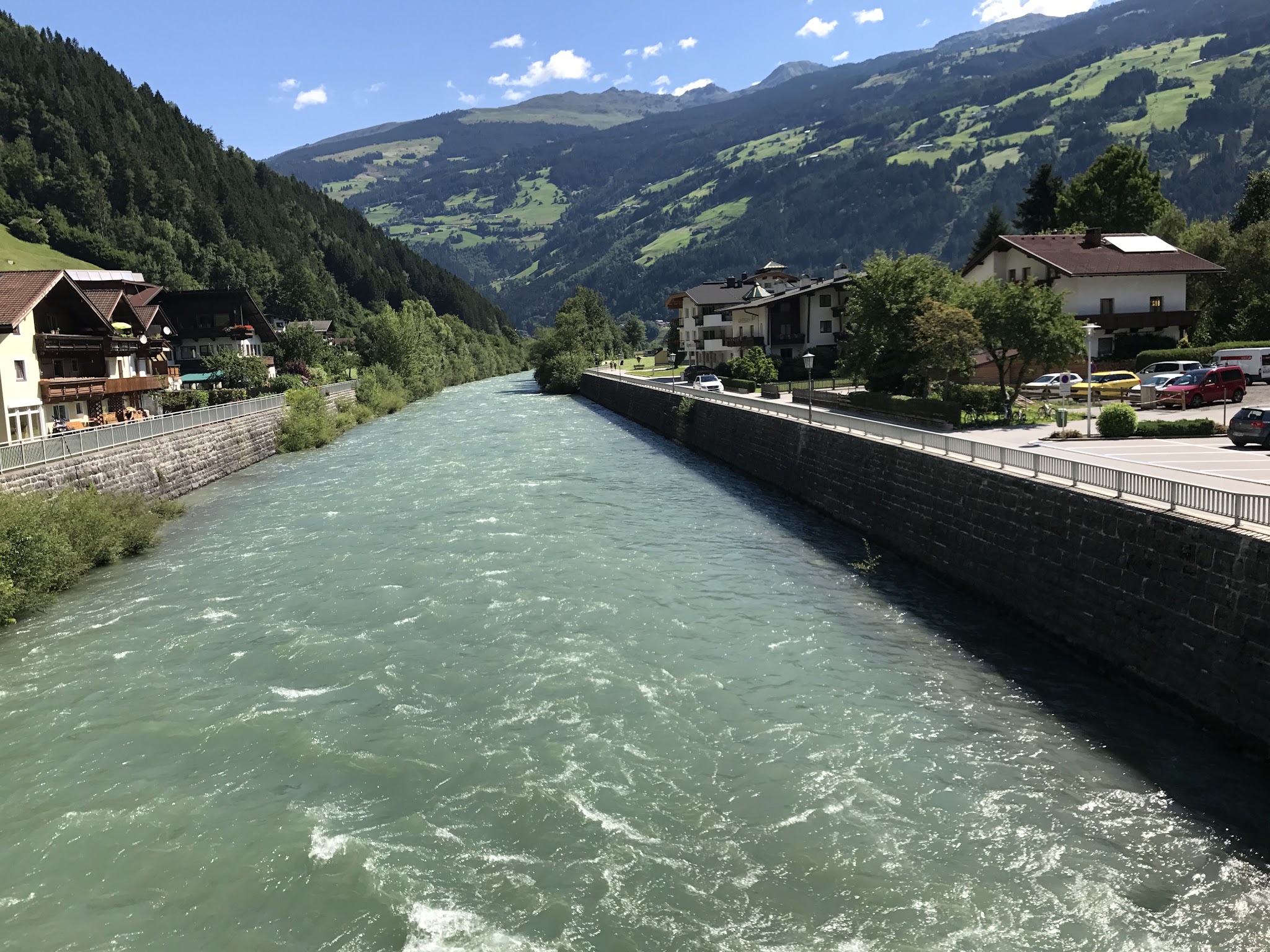
Zell am Ziller, in the valley below, is an excellent base for a stay - full services, good food, and easy access to this climb and its neighbors (see our slideshow). We very much enjoyed our time climbing in this wonderful Austrian climb zone, and the Jausenstationen (mountain restaurants) dotted along the Höhenstraße - including one near the top - make for a great excuse to stop, refuel, and take in the views.
PLAN YOUR ROUTE
 We've partnered with Sherpa-Map.com to bring you the best route planning tool. With a PRO Membership you can use this climb as a reference when creating your route.
 This climb opens with the steepest riding on the route: the first 100 yards average 28% and the opening quarter-mile still averages nearly 23%, easing only to roughly 18% by half a mile and 15% by the one-mile mark. That's an exceptionally hard start even by Alpine standards - other route-finding sites rate the lower section (to the Zirmstadl reservoir) as Super HC, the hardest category they use, and recommend a 34x34 or lower gear.
The grade eases gradually from there - down to about 13% by 2.5 miles and 11% by 5 miles - but the climb still averages 9.26% over the full 9.96 miles to the top near Melchboden, meaning there's essentially no flat recovery anywhere on this route.
Roadway: The climb follows the Zillertaler Höhenstraße, a paved alpine panoramic toll road first built in the 1960s. It's narrow with tight, low-visibility hairpins and unguarded drop-offs in many places, especially amid the steepest pitches in the first mile or two out of Aschau. The road is open seasonally - roughly mid/late May through October - and gated in winter. Cyclists ride the entire Höhenstraße toll-free; only motor vehicles pay.
Traffic: As a scenic toll road serving cars, tour buses, and shuttle vans headed to the Jausenstationen (mountain restaurants) along the route, expect moderate tourist traffic, especially midday and on July/August weekends. The steep, blind hairpins make visibility more of a concern than volume - ride predictably and take the hairpins wide. Early mornings are quieter.
Parking: There's no dedicated cycling trailhead; riders typically start from the village of Aschau im Zillertal itself, at the Dorfstraße/Höhenstraße intersection, where street parking is available.
Bring the lightest gearing you own. The opening kilometer out of Aschau sustains 20%+ in places, and other route-finding sites recommend a 34-tooth chainring paired with a 34-tooth-or-larger rear cog for the lower slopes - a compact or sub-compact crank with a wide-range cassette, or a gravel/mountain-bike drivetrain, will make the difference between riding and walking here.
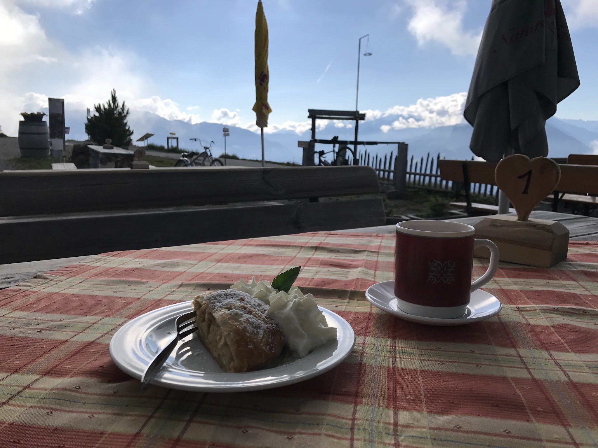
Several Jausenstationen (snack stops) along the route sell food and drinks in season, including one at the Zirmstadl reservoir and another near Melchboden at the top, so you don't need to be fully self-supported - but confirm opening days before relying on them, since many run Thursday-Sunday only.
Before heading out on any cycling adventure check out our Things to Bring on a Cycling Trip and use our interactive check list to ensure you don't forget anything.
Base yourself in Zell am Ziller or elsewhere in the Zillertal valley - both have full traveler services and sit close to several of our other Top 100 climbs that share this same toll-road network (reached from Aschau, Ried, Zellberg, Kaltenbach, and Hippach).
The Zillertaler Höhenstraße is open only seasonally, roughly mid-to-late May through October depending on snow, so plan a summer or early-fall visit. Because the road is otherwise a toll route for motor vehicles, expect noticeably lighter traffic (and better riding) outside of peak summer midday hours.
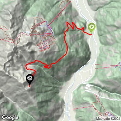
ROUTE MAP
MEMBER RATING
CURRENT WEATHER
PJAMM TRIPS ADVENTURE STARTER BUNDLES
Check out PJAMM Adventure's prepackaged (self-guided) cycling trips. They will help you plan, document and conquer your next adventure.
NEARBY CLIMBS (0) RADIAL PROXIMITY
FROM No Climbs Found
MEMBER REVIEWS & COMMENTS
Let us know what you thought of this climb. Signup for our FREE membership to write a review or post a comment.
Already have an account?
LOG IN HERE