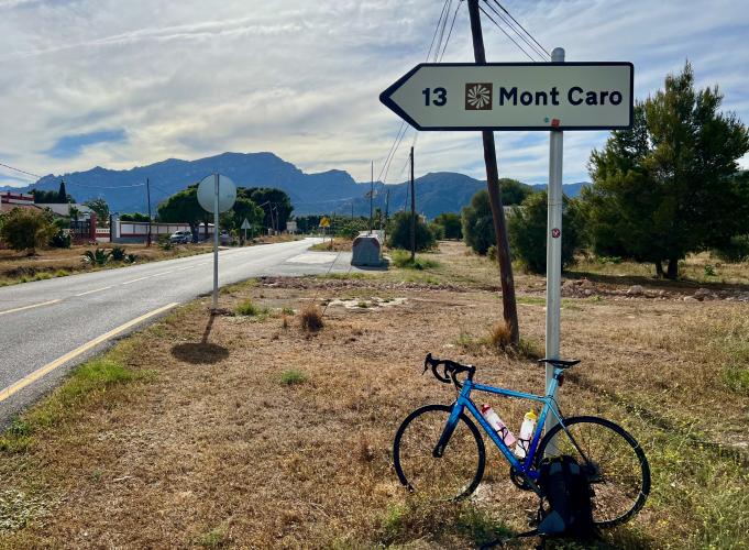
27.4
PDI
11.6 mi
DISTANCE
4,323 ft
GAINED
7.1 %
AVG. GRADE
FULL CLIMB STATS
Page Contributor(s): Ard Oostra, Montreux, Switzerland; Heiko Linnert, Amberg, Germany.
INTRO
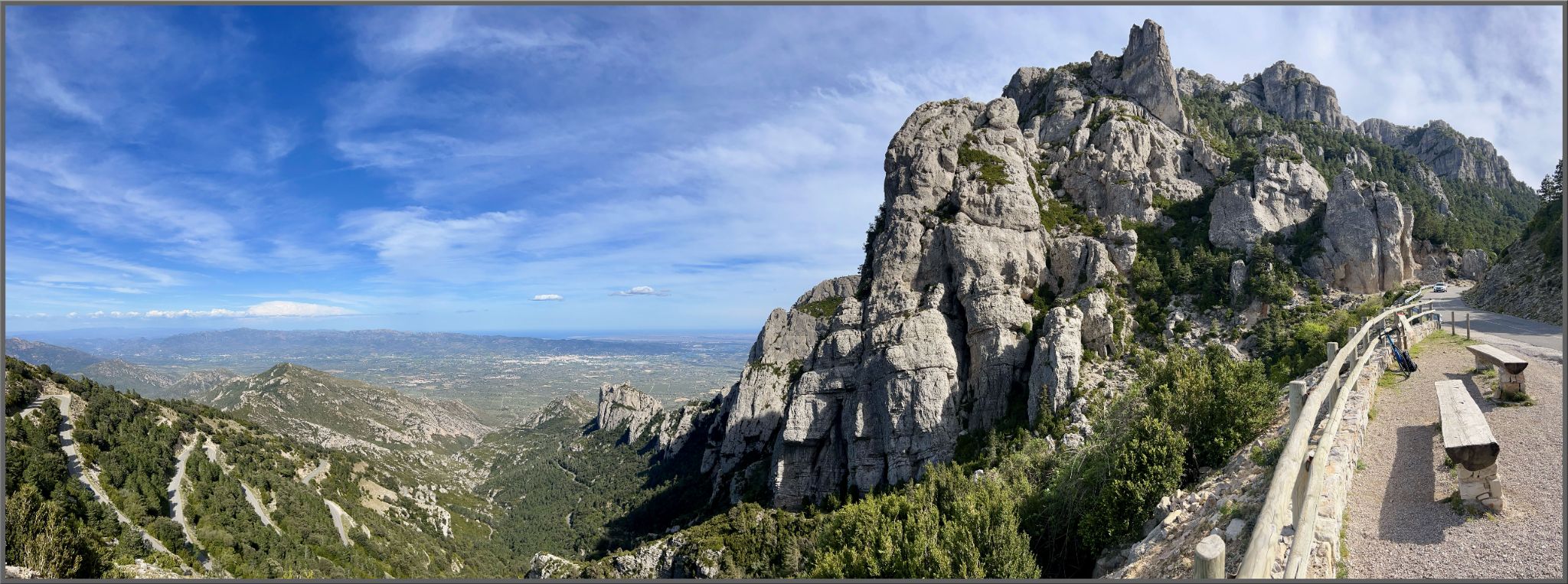
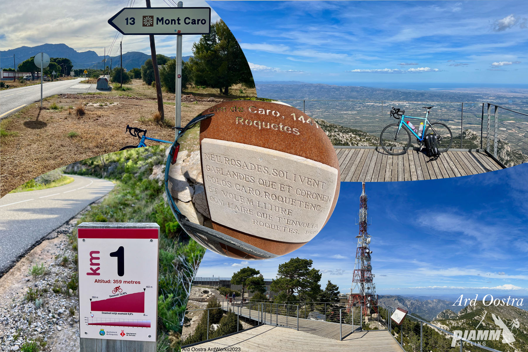
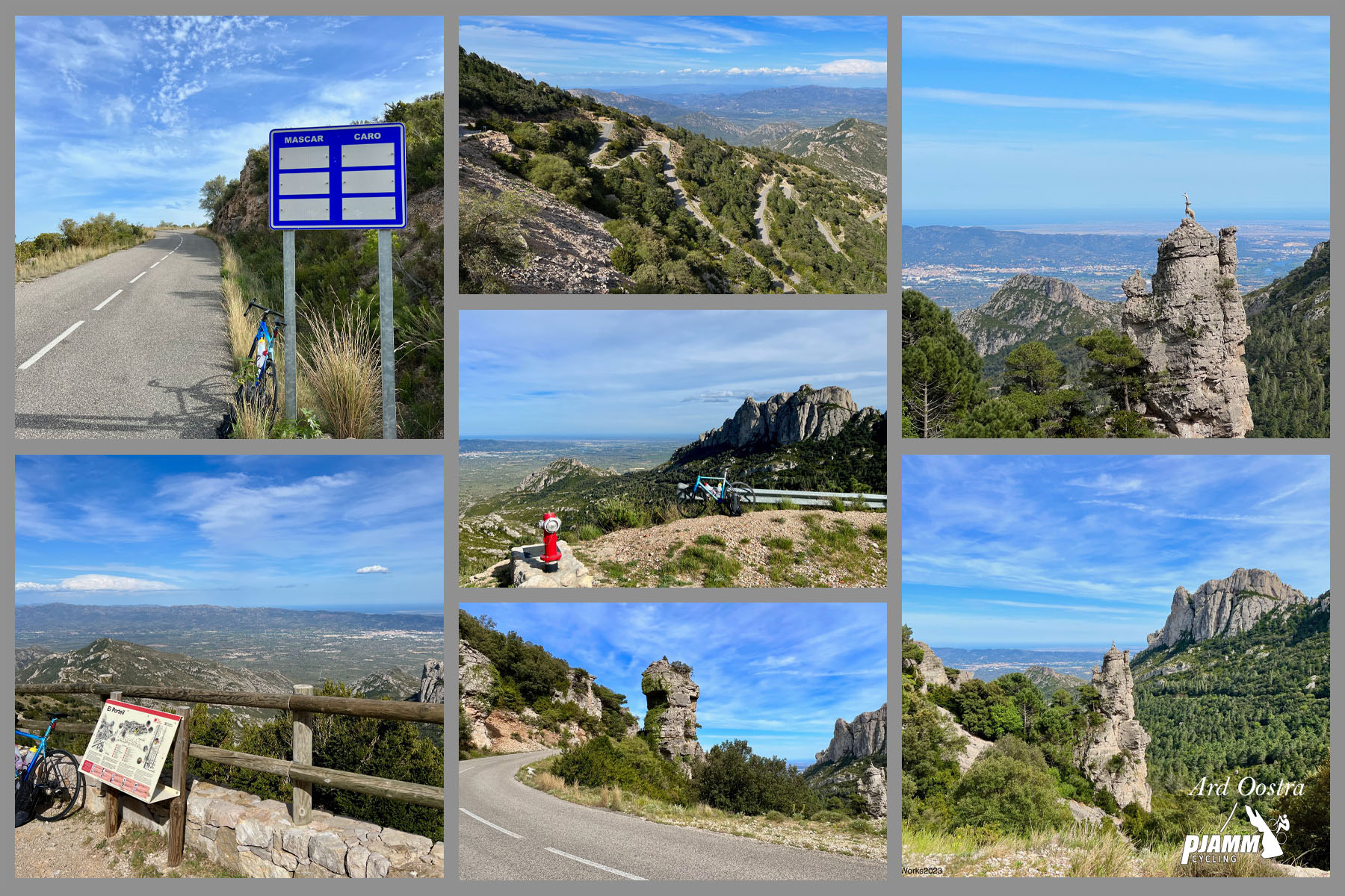
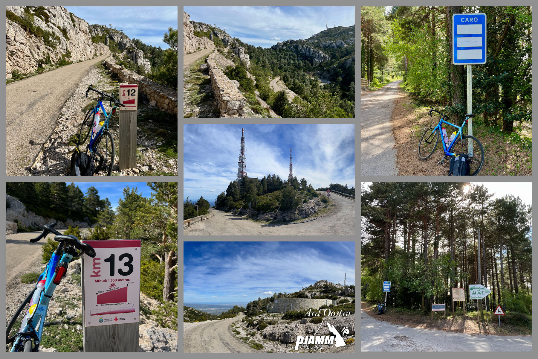
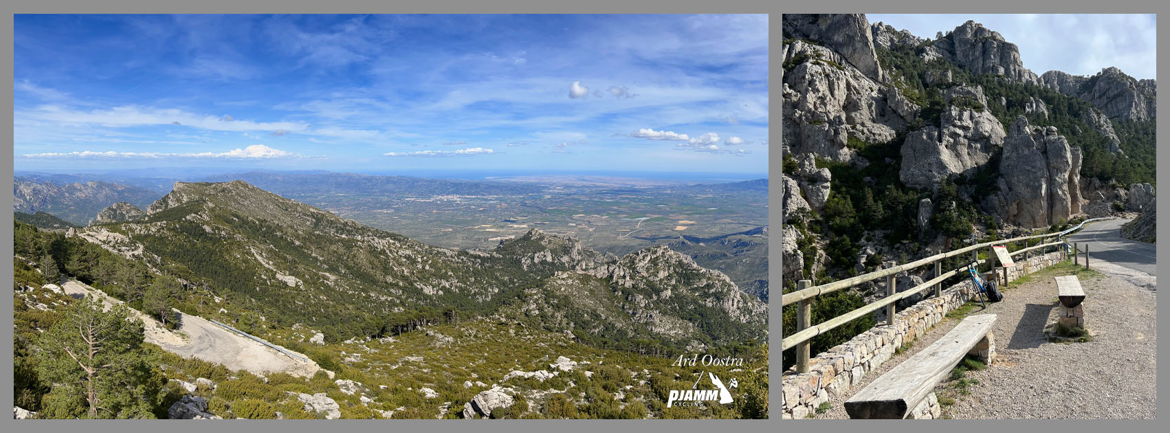
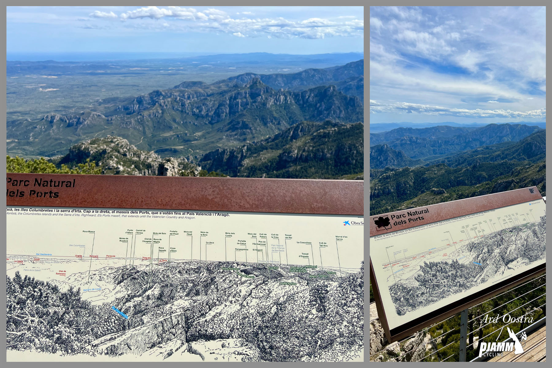
Mont Caro climbs 18.6 km (11.6 mi) and gains 1,317.7 m (4,323 ft) at a 7.1% average grade from Roquetes, in the Baix Ebre region of Tarragona province, up to the summit of Mont Caro - the highest point in the province at 1,402.7 m (4,602 ft). The road, the TV-3541, runs entirely through Els Ports Natural Park, a rugged limestone range that feels far more alpine than its Mediterranean location suggests.
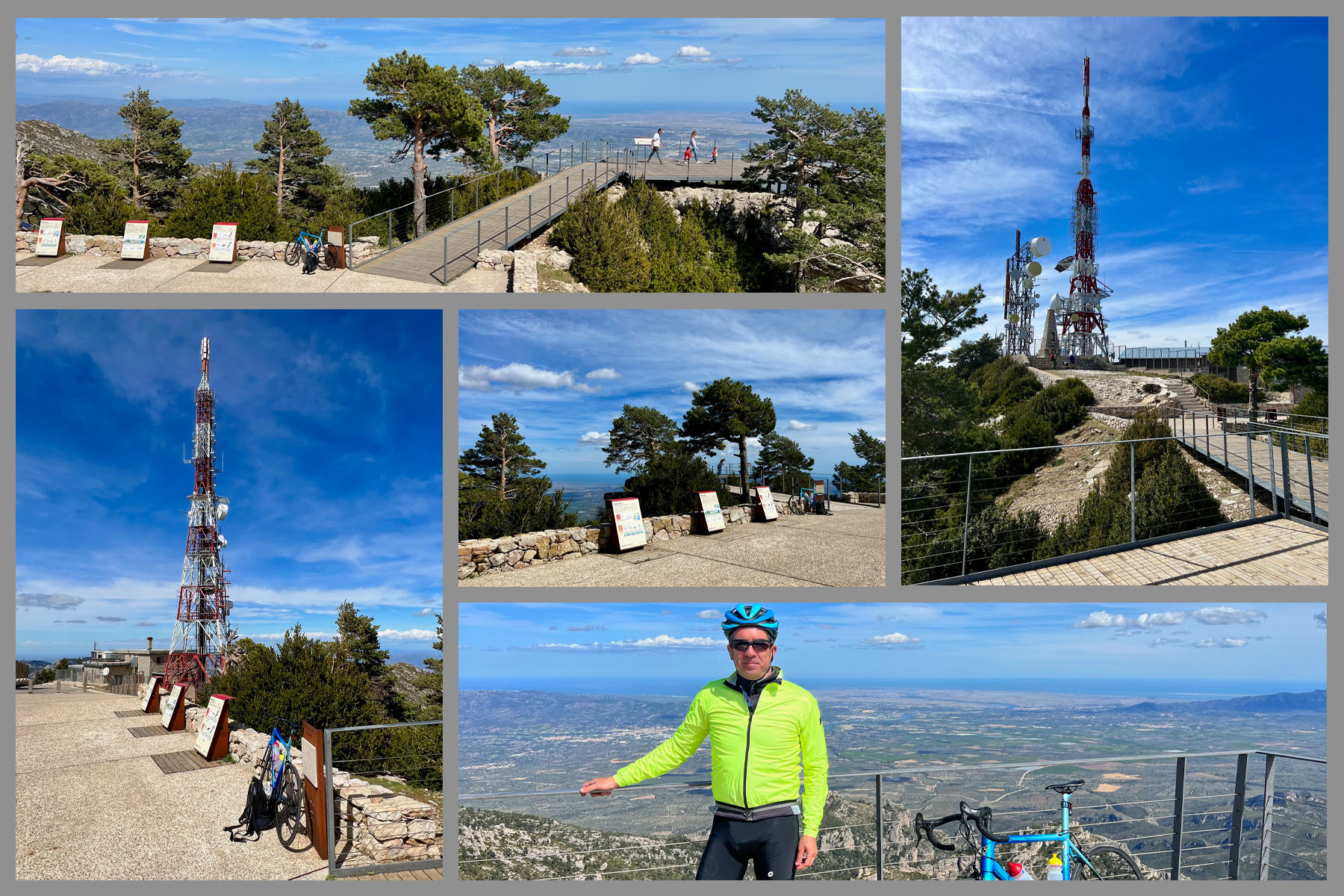
The lower kilometers climb gently through farmland and pine forest, but the character of the ride changes hard partway up: the grade steps up sharply and stays there, with repeated ramps into double digits and a steepest kilometer averaging 10.2%. It's widely considered one of the toughest climbs in Catalunya despite starting barely above sea level, and the payoff at the top is a sweeping view over the Ebre Delta and out to the Mediterranean, undercut only slightly by the television relay tower that marks the actual summit.
Mont Caro has featured in the Volta a Catalunya, and the TV-3541 has seen active recent upkeep - safety barriers along the lower section between Xerta and Pauls were renewed as recently as April 2026. The climate here is mild year-round by Spanish mountain standards, making this a rideable option for more of the calendar than most climbs of comparable difficulty.
PLAN YOUR ROUTE
 We've partnered with Sherpa-Map.com to bring you the best route planning tool. With a PRO Membership you can use this climb as a reference when creating your route.
 Mont Caro covers 18.6 km (11.6 mi) and gains 1,317.7 m (4,323 ft) at a 7.1% average grade, starting at about 91 m (298 ft) near Roquetes and finishing at the 1,402.7 m (4,602 ft) summit.
The grade is heavily front-loaded toward the back half of the climb. The early kilometers out of Roquetes are comparatively mild, but the final stretches ramp up hard: the steepest kilometer averages 10.2%, the steepest 2 km eases slightly to 9.7%, and even the steepest 5 km - which includes some of the hardest sustained sections - still averages 8.8%. There is very little flat or downhill relief anywhere on the upper two-thirds of the route.
Currently ranked #433 hardest climb in the world in our database, Mont Caro punches well above its modest starting elevation and is regarded as one of the harder climbs in Catalunya.
Roadway: The TV-3541 is paved the entire way from Roquetes to the Mont Caro summit and has been resurfaced within the past couple of seasons, leaving most of the route in good condition; the final stretch near the summit narrows noticeably, so give oncoming traffic extra room over the last kilometer. The Diputació de Tarragona renewed guardrails and safety barriers along the lower section between Xerta and Pauls as recently as April 2026.
Traffic: Light overall. The first kilometer or so leaving Tortosa and Roquetes carries typical slow urban traffic, but it thins quickly once the road climbs into Els Ports Natural Park. The summit occasionally sees weekend sightseers and hikers drawn by the views over the Ebre Delta.
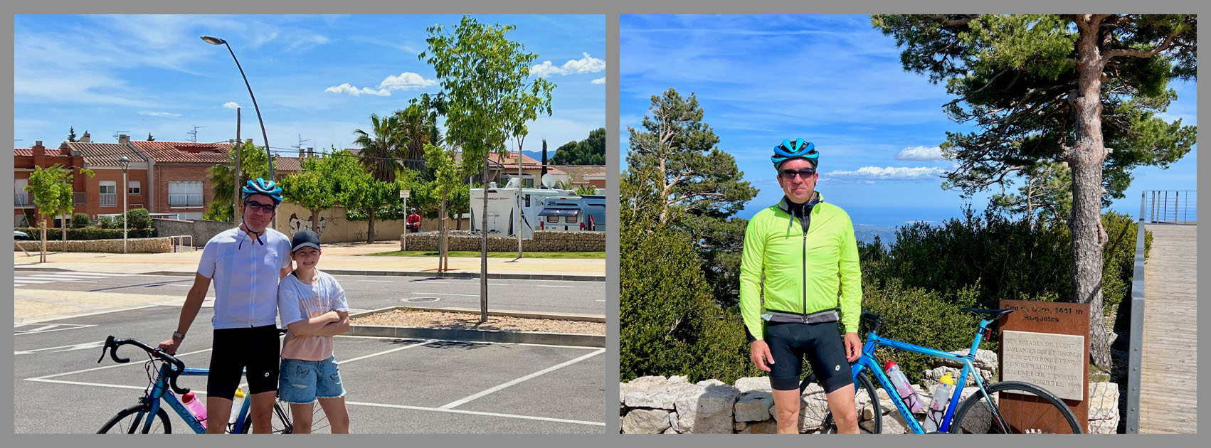
Parking: Roquetes is a small town with informal street parking near the town center, close to the base of the climb. There is no dedicated cyclist parking area, so plan to park on a residential street and start riding from there.
Roquetes and neighboring Tortosa have grocery stores, bike shops, and restaurants for stocking up beforehand, but once you're on the TV-3541 there is essentially nothing until the summit - no water, food, or services anywhere on the climb itself. Carry more water than you think you'll need, especially given how much time you'll spend at 8-10%+ gradients.
Els Ports Natural Park sits at a lower latitude than most of Spain's harder climbs, so summer heat on the lower slopes can be intense even though the upper mountain stays cooler. Before heading out on any cycling adventure check out our Things to Bring on a Cycling Trip and use our interactive check list to ensure you don't forget anything.
Before heading out on any cycling adventure check out our Things to Bring on a Cycling Trip and use our interactive check list to ensure you don't forget anything.
Roquetes sits just across the Ebre River from Tortosa, the historic capital of the Baix Ebre region, worth a visit for its Gothic cathedral and the Moorish-built Zuda castle overlooking the river. The wider Terres de l'Ebre area is one of Catalunya's lesser-visited corners - the Ebre Delta, a major wetland and rice-growing region, is a short drive away and makes a good rest-day contrast to the mountain.
Els Ports Natural Park, which the entire climb passes through, is a limestone massif with extensive hiking and wildlife (including a reintroduced population of Egyptian vultures) beyond what's visible from the road - worth a return trip on foot if the views from the bike hook you.
Because Mont Caro's upper slopes are far more exposed than the mild Mediterranean lowlands below, see current conditions before you go with our Weather tool.
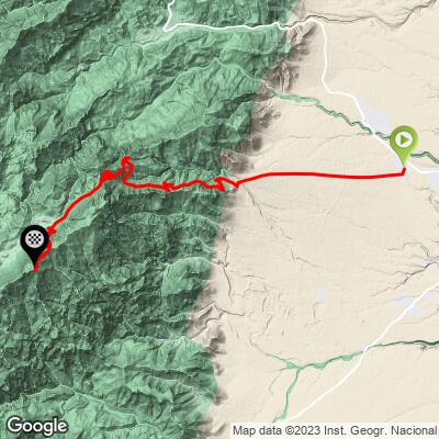
ROUTE MAP
MEMBER RATING
CURRENT WEATHER
PJAMM TRIPS ADVENTURE STARTER BUNDLES
Check out PJAMM Adventure's prepackaged (self-guided) cycling trips. They will help you plan, document and conquer your next adventure.
NEARBY CLIMBS (0) RADIAL PROXIMITY
FROM No Climbs Found
MEMBER REVIEWS & COMMENTS
Let us know what you thought of this climb. Signup for our FREE membership to write a review or post a comment.
Already have an account?
LOG IN HERE