22.5
PDI
14.8 mi
DISTANCE
4,270 ft
GAINED
5.2 %
AVG. GRADE
FULL CLIMB STATS
Page Contributor(s): Ian Dennis, Occidental, CA, USA
INTRO
This 14.8 mile bike climb is located in Provence-Alpes-Côte d'Azur, France. The average gradient is 5.2% and there is a total elevation gain of 4,270 ft, finishing at 5,302 ft.
Use the profile tool, route map, and weather forecast to conquer this cycling climb.
Use the profile tool, route map, and weather forecast to conquer this cycling climb.
PLAN YOUR ROUTE
See more details and tools regarding this climb's grade via our interactive Profile Tool.
Information Not Available
If you have any information regarding this climb, we'd like to hear from you. Click the CONTRIBUTE button to share your thoughts with us.
Information Not Available
If you have any information regarding this climb, we'd like to hear from you. Click the CONTRIBUTE button to share your thoughts with us.
Before heading out on any cycling adventure check out our Things to Bring on a Cycling Trip and use our interactive check list to ensure you don't forget anything.
Information Not Available
If you have any information regarding this climb, we'd like to hear from you. Click the CONTRIBUTE button to share your thoughts with us.
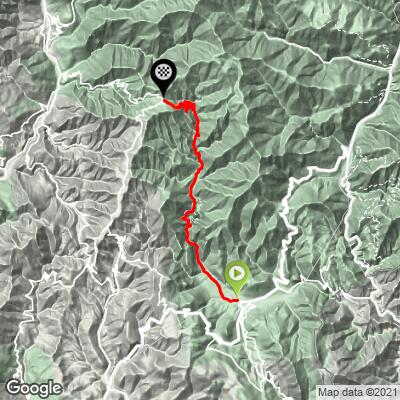
ROUTE MAP
MEMBER RATING
CURRENT WEATHER
PJAMM TRIPS ADVENTURE STARTER BUNDLES
Check out PJAMM Adventure's prepackaged (self-guided) cycling trips. They will help you plan, document and conquer your next adventure.
NEARBY CLIMBS (0) RADIAL PROXIMITY
FROM No Climbs Found
MEMBER REVIEWS & COMMENTS
Let us know what you thought of this climb. Signup for our FREE membership to write a review or post a comment.
Already have an account?
LOG IN HERE
zesoloist
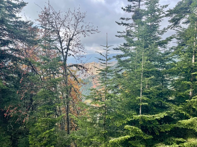
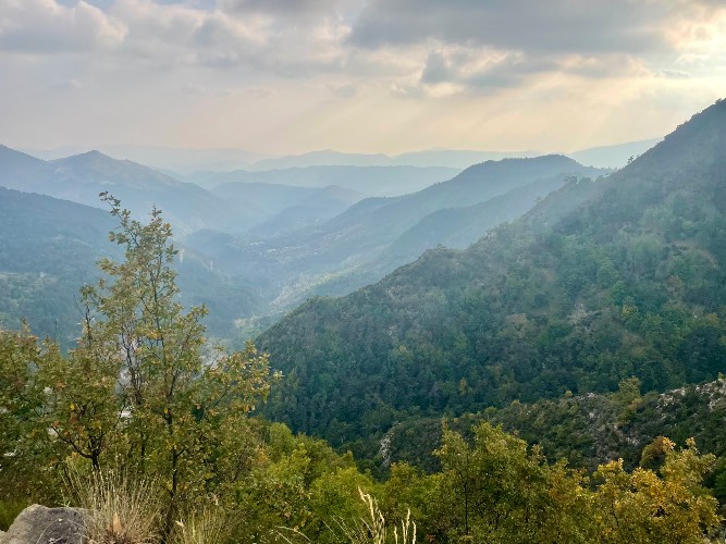
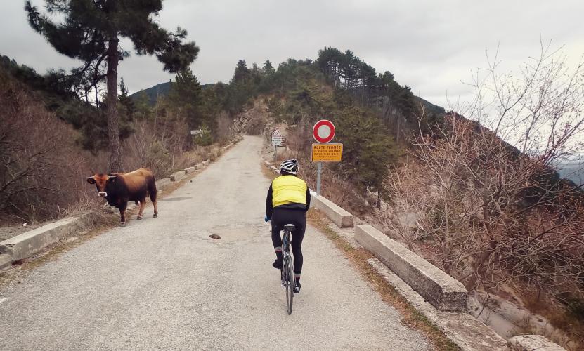
There are markers although they are not at the km remaining. They vary .1-.3 above; ie 14.2km. No grade though. Get a GPS device for that. Some of the scenery on the exposed parts have a view but most of the time your in the forest. Fairly steady. Just settle in. Now the descent to Luceram is sweet. So. Many. Lacets. And not a single car either way when I dropped down.
MethowBiker
Focus on the last 12 km from Moulinet. The overall distance from Sospel is 22 km, but the first 10 km of that is just the warmup. Unlike other TDF climbs, there's no marker each km to give you info on grade. The 12 km from Moulinet is a steady 8-9%. You get a break on hairpins if you take them wide. Restaurant at the col allows for recharging and a toilet. If you descend to return to Nice area via the Vesubie river, that downhill is steep and technical.