24.2
PDI
6 mi
DISTANCE
2,927 ft
GAINED
9.3 %
AVG. GRADE
FULL CLIMB STATS
Page Contributor(s): Luke Hise, AZ
INTRO
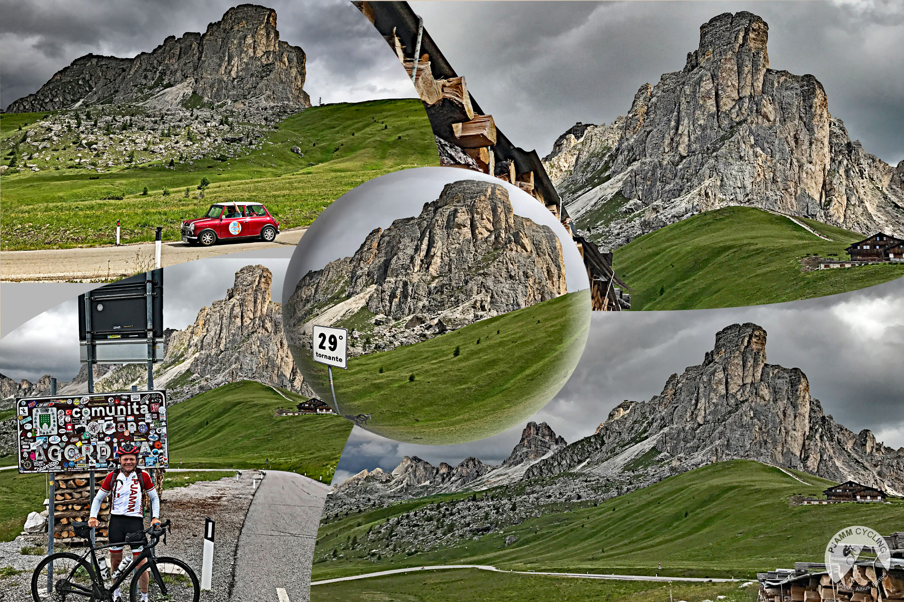
The Dolomites are home to some of the most epic and scenic cycling climbs in the world, and Passo Giau is the jewel of the Dolomites. From the edge of Selva di Cadore in Val Fiorentina, the south side climbs 9.6 km (6.0 mi) and gains 892 m (2,927 ft) at a relentless 9.3% average, topping out at 2,220 m (7,283 ft) beneath the rock turret of Nuvolau.
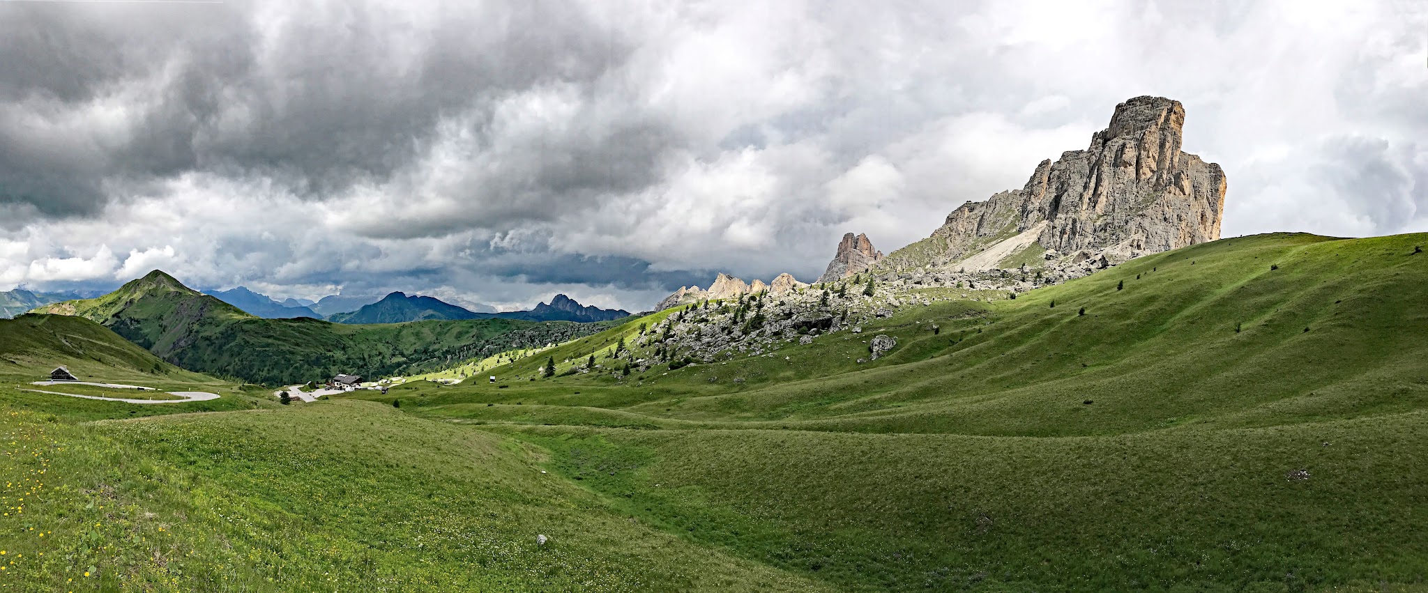
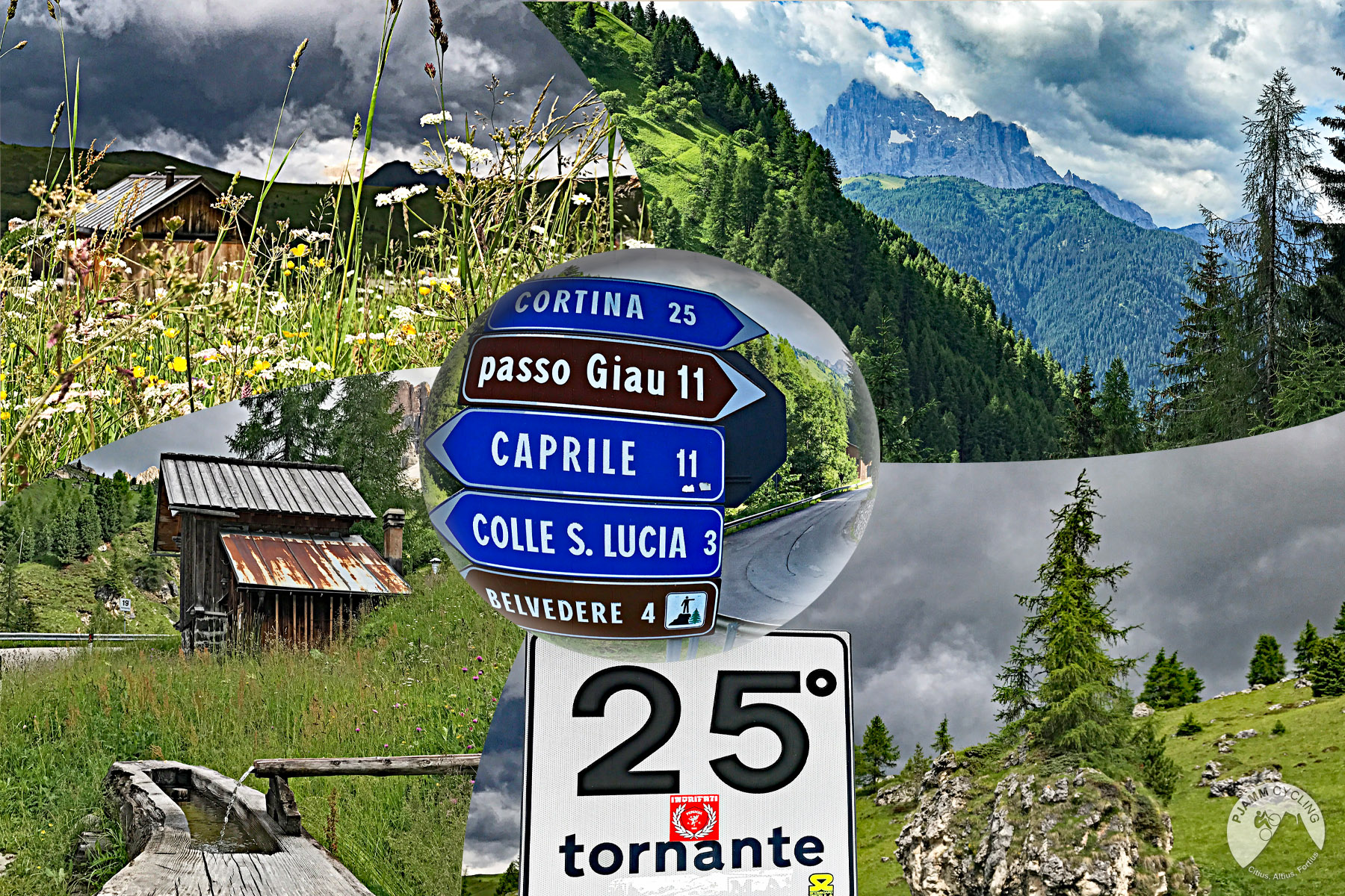
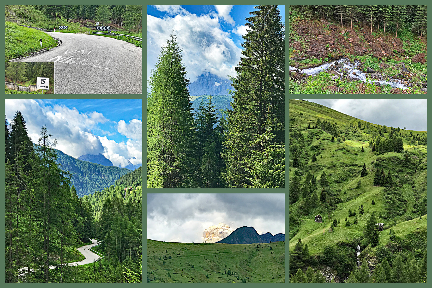
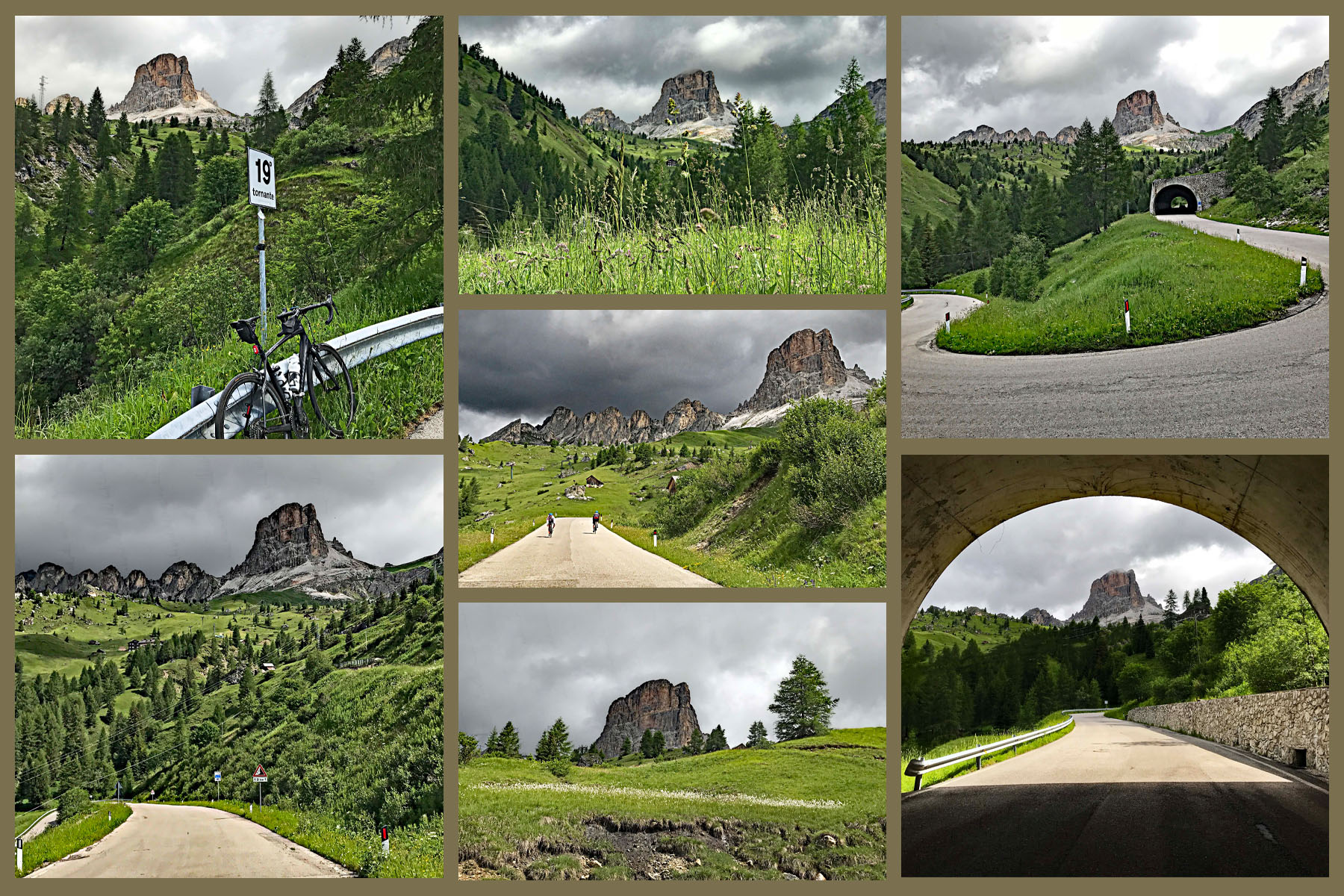
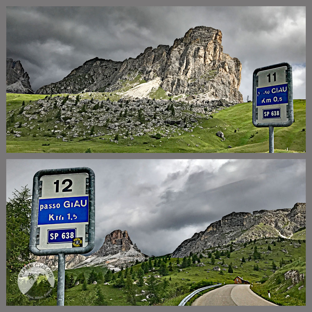
What makes this side special is the combination of consistency and scenery. Every kilometer averages between about 8.5% and 9.7% - there's no false flat and no respite - across 29 marked hairpins (tornanti) and three short avalanche galleries. From around km 5, Monte Averau comes into view and dominates the rest of the climb, and the final kilometers open onto high alpine pasture with Nuvolau and Ra Gusela towering over the pass. We rode it on June 30, 2017, and from km 5 to the top it remains one of the most breathtaking climbs we've ever done.
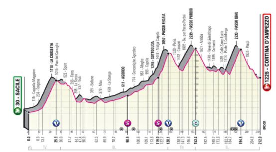
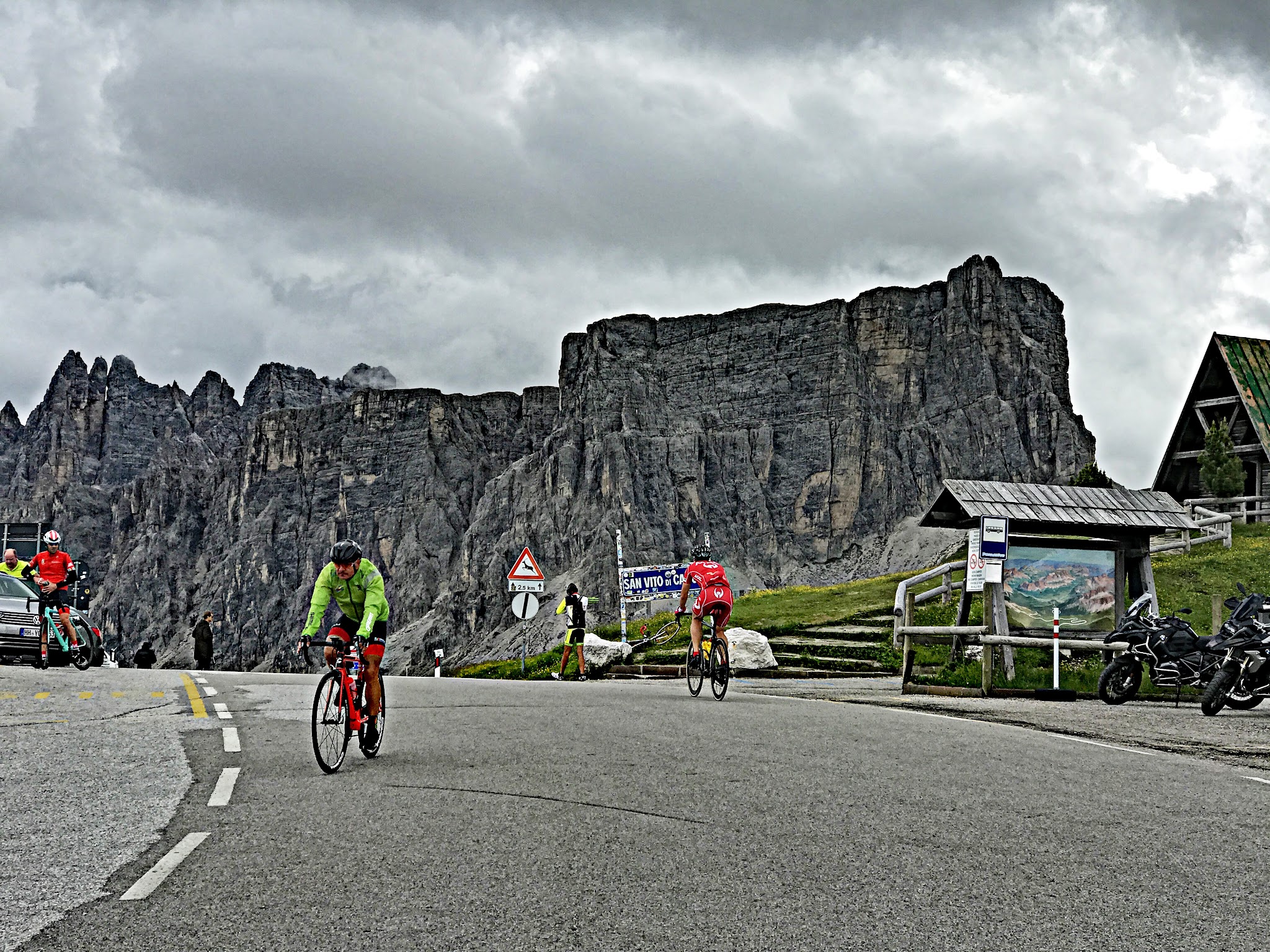
Passo Giau is also Giro d'Italia royalty. It debuted in 1973, when José Manuel Fuente led over the top, and it has been the race's Cima Coppi - the highest point of the Giro - four times: 1973, 2011, 2021 (when Egan Bernal attacked in the maglia rosa in cold rain and all but sealed the overall), and 2026, when Stage 19 climbed this exact south side and Giulio Ciccone crossed the summit first on his way to the mountains jersey. It's also the steepest of the seven passes in the Maratona dles Dolomites gran fondo.
PLAN YOUR ROUTE
 We've partnered with Sherpa-Map.com to bring you the best route planning tool. With a PRO Membership you can use this climb as a reference when creating your route.
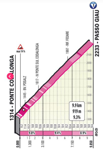
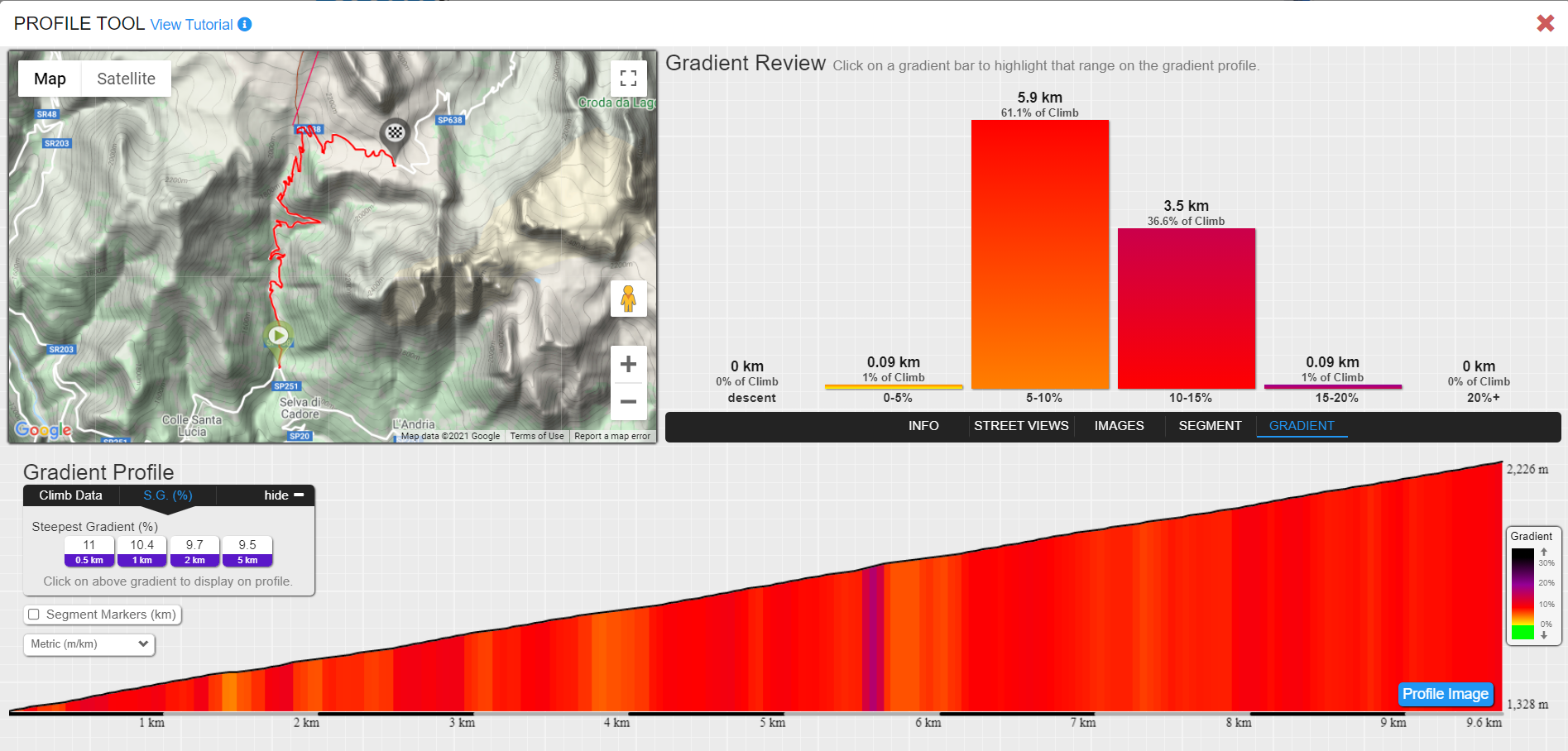
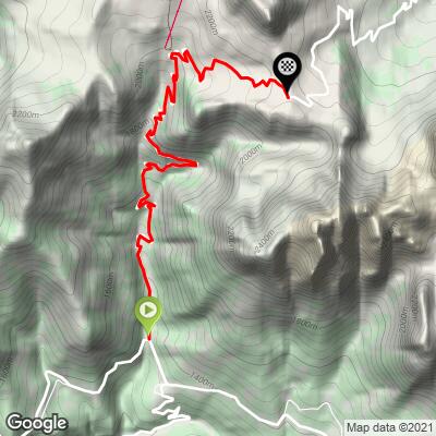
 Passo Giau South climbs 9.6 km (6.0 mi) from 1,328 m (4,356 ft) to 2,220 m (7,283 ft), gaining 892 m (2,927 ft) at a 9.3% average with no descending at all.
Few climbs anywhere are this uniform. Every kilometer falls in a narrow band between about 8.5% and 9.7%, so the challenge is sustaining a steady effort for an hour or more rather than surviving one brutal ramp. The first ramps out of Val Fiorentina are among the steepest, and the stretch around km 4-5 - just as Monte Averau first appears - holds the steepest full kilometer of the climb.
The steepest half kilometer averages 10.9%, the steepest kilometer 10.3%, the steepest mile 10.1%, the steepest 2 km 9.7%, and the steepest 5 km 9.5%.
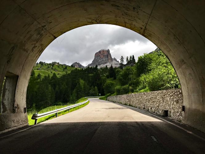
Roadway: The SP638 is paved the entire way and in good condition, as you'd expect of a road the Giro d'Italia raced up as recently as May 2026. The 29 hairpins are numbered, and three short galleries protect the road from avalanches, which can close the pass in winter - check the Provincia di Belluno's road notices early or late in the season. The pass is also closed to motor traffic for events such as the Dolomites Bike Day in June and the Maratona dles Dolomites in early July, when it belongs entirely to cyclists.
Traffic: Heavy in peak summer. Unlike the Passo Falzarego road, the Giau road is open to trucks and coaches, which makes it a popular route between the Agordino valleys and Cortina, and it draws large numbers of motorcycles and car rallies on summer weekends. For the quietest conditions, ride early in the morning, go outside July and August, or plan around the car-free event days.
Parking: Most riders start from Selva di Cadore itself, right at the foot of the climb. If you need a bigger lot, the Fertazza chairlift in nearby Pescul, about 3.5 km from the start, has ample parking and makes the ride to the bottom of the climb an easy warm-up. Caprile, a common base for the wider area, is covered on our Passo Fedaia page.
Gear: With nearly 10 km at over 9%, gearing is the key decision - a compact crankset with a 32- or 34-tooth low cog lets most riders hold a sustainable cadence all the way up. The summit is above 2,200 m, so carry a jacket or gilet for the descent even on a warm day.
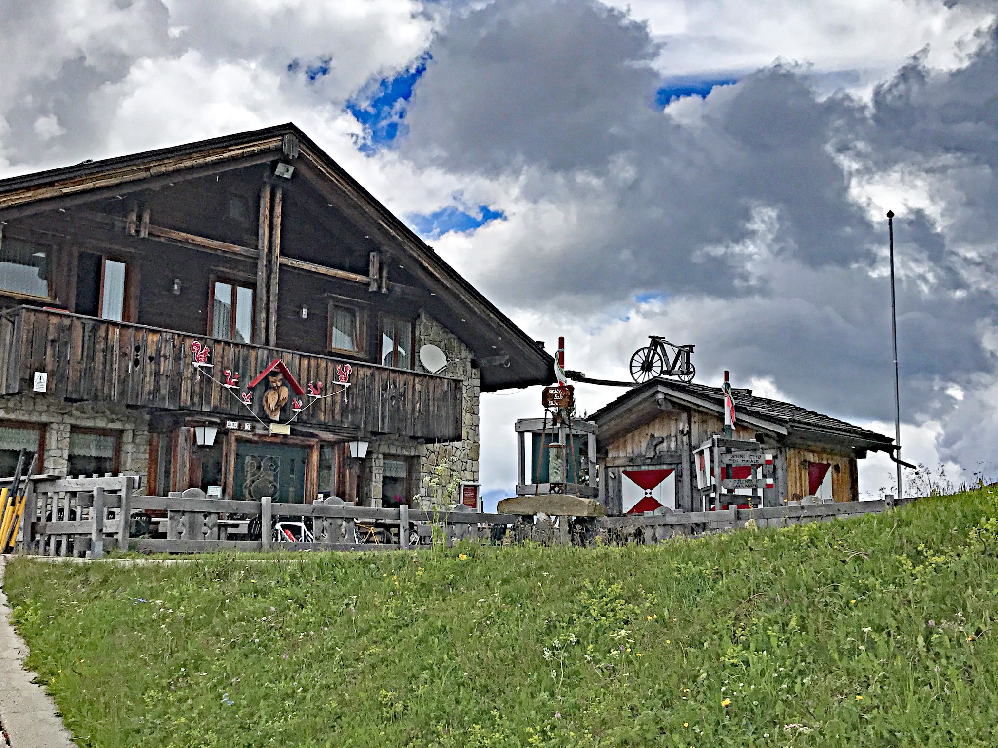
Provisions: Selva di Cadore has shops and bars at the base. There's nothing on the climb itself, but the top is well served: Rifugio Passo Giau sits right at the pass, with a mountain hotel and several other rifugi and malghe on the surrounding slopes.
Before heading out on any cycling adventure check out our Things to Bring on a Cycling Trip and use our interactive check list to ensure you don't forget anything.
Selva di Cadore, at the foot of the climb, is home to the Museo Vittorino Cazzetta, which displays the remarkably intact skeleton of the "Man of Mondeval" - a Mesolithic hunter who lived some 7,000 years ago, found in 1987 at around 2,150 m on the high Mondeval de Sora plateau above the village. It's one of the only known burials of that era found at such altitude, and a fascinating hour off the bike.
Val Fiorentina, with Selva di Cadore, Pescul and Colle Santa Lucia, makes a convenient base with direct access to Passo Giau, Passo Staulanza and, via Colle Santa Lucia and Caprile, Passo Falzarego. Combine the Giau with its north side, the Falzarego and the Valparola for a classic Dolomites loop - see other climbs nearby, or build a custom route from here, with our Routes in the Area tool.
ROUTE MAP
MEMBER RATING
CURRENT WEATHER
PJAMM TRIPS ADVENTURE STARTER BUNDLES
Check out PJAMM Adventure's prepackaged (self-guided) cycling trips. They will help you plan, document and conquer your next adventure.
NEARBY CLIMBS (0) RADIAL PROXIMITY
FROM No Climbs Found
MEMBER REVIEWS & COMMENTS
Let us know what you thought of this climb. Signup for our FREE membership to write a review or post a comment.
Already have an account?
LOG IN HERE
Mbrosius
We did this ride from Arabba. It is one of the most spectacular rides we have ever done. It’s steep but very consistent and never gets crazy steep but also never lets up. The scenery is spectacular especially after about 2 miles. Lots of traffic but they are patient and use to cyclists. Should be on everyone’s bucket list.
DBlondfield
Sports cars on the road were dangerous . Cloudy and rainy. Hard to see much.