17.9
PDI
5.4 mi
DISTANCE
2,356 ft
GAINED
8.2 %
AVG. GRADE
FULL CLIMB STATS
Page Contributor(s): Luke Hise, AZ
INTRO
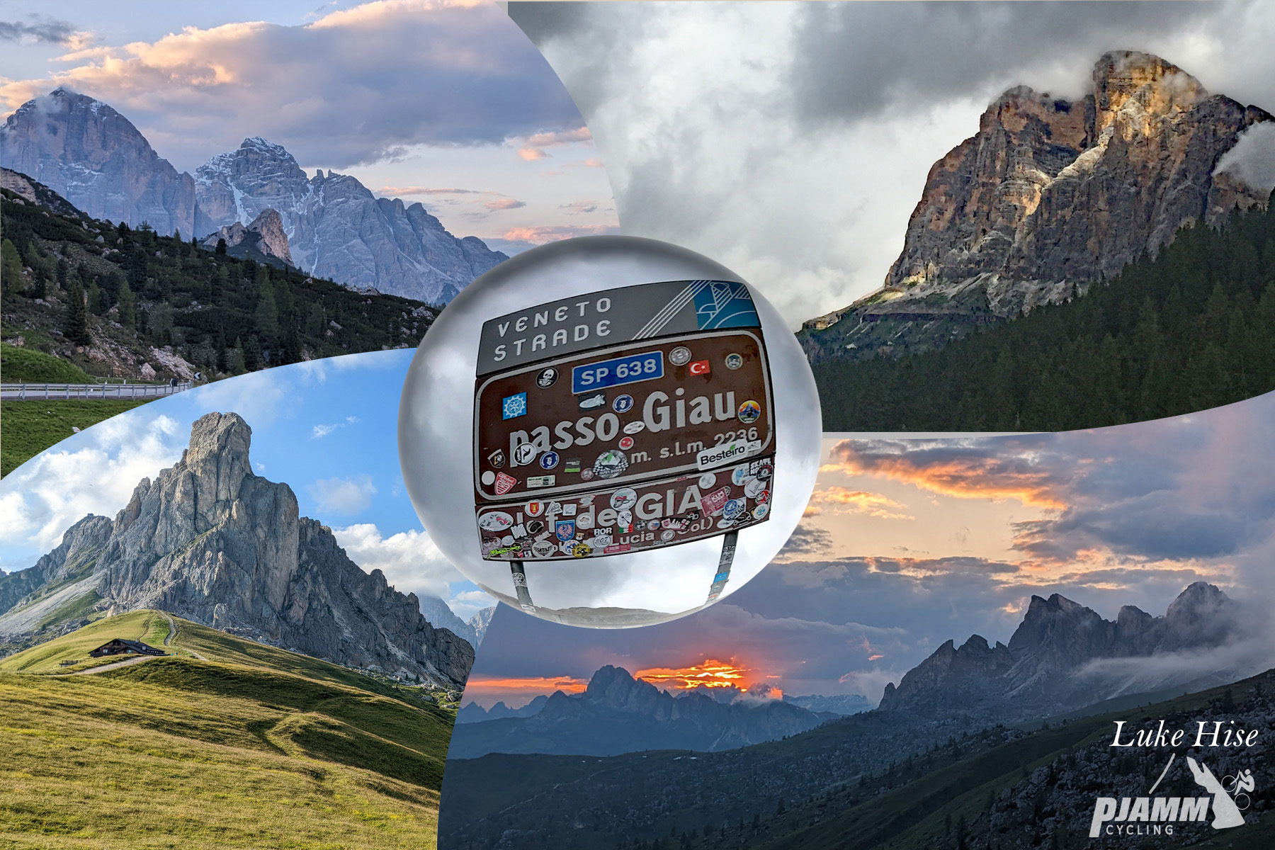
Passo Giau is one of our World Top 10 Most Scenic Bike Climbs, and its north side is the way up from Cortina d'Ampezzo. From Pocol, the SP638 climbs 8.8 km (5.4 mi) and gains 718 m (2,356 ft) at an 8.2% average to the pass at 2236 m (7,336 ft), beneath the rock turret of Nuvolau. By our rankings it is #1233 in the world.
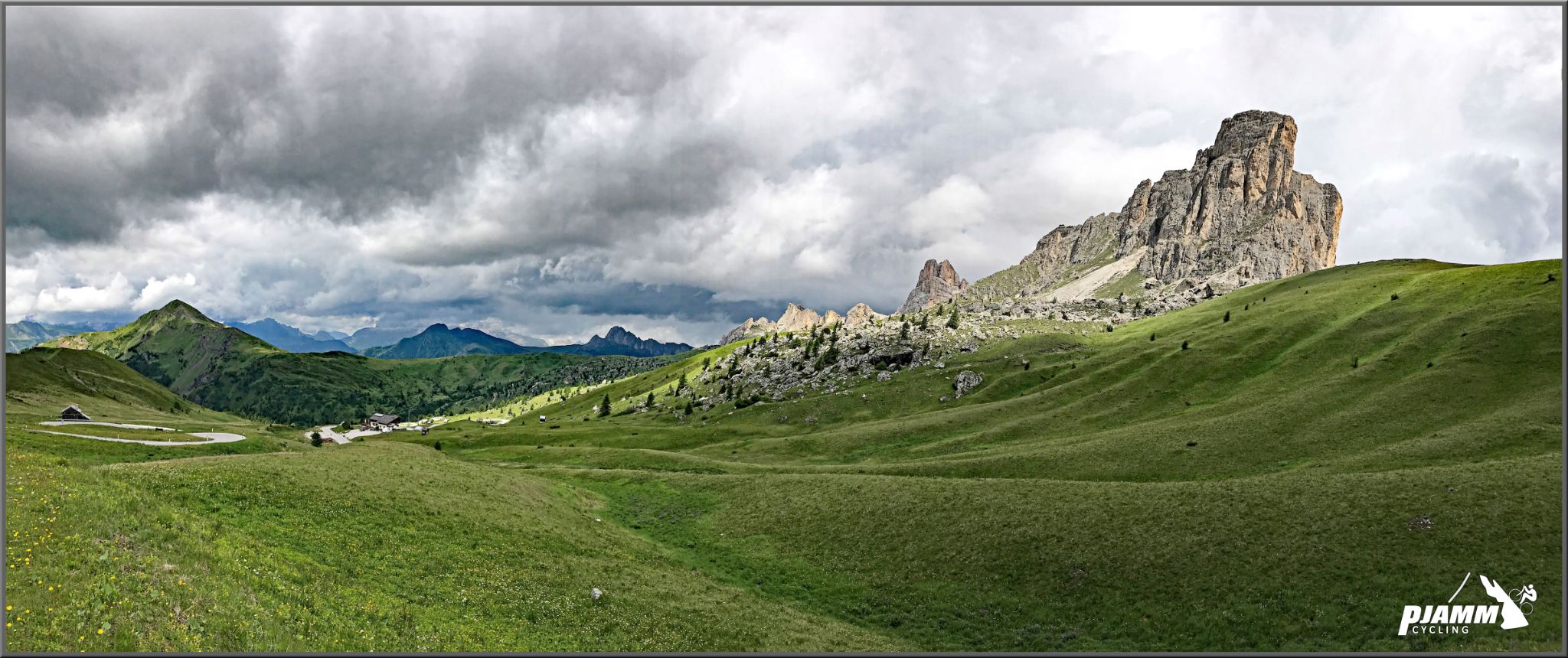
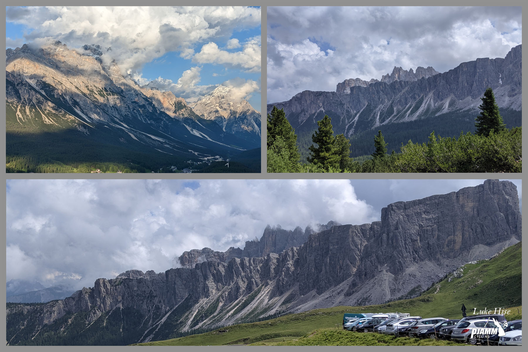
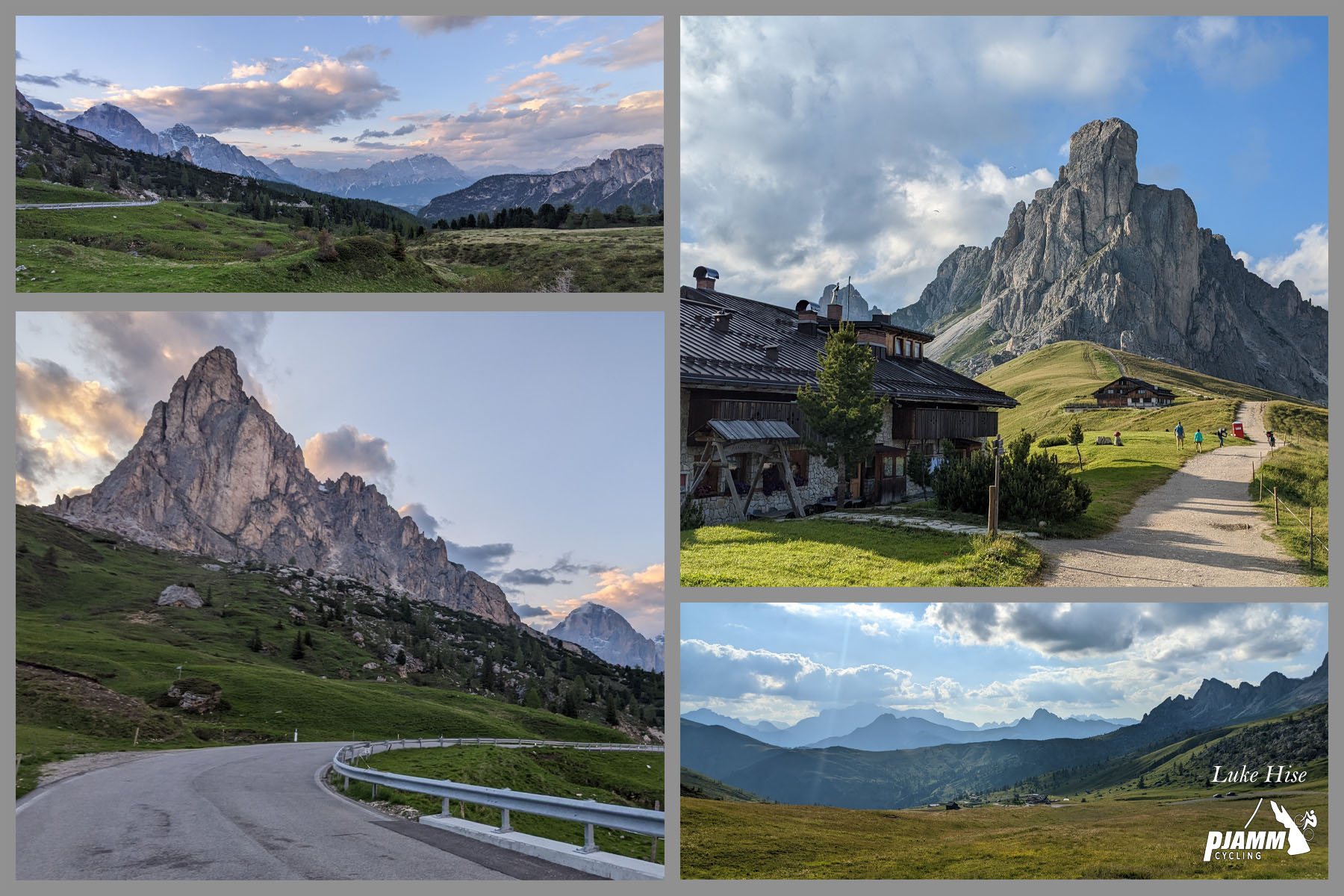
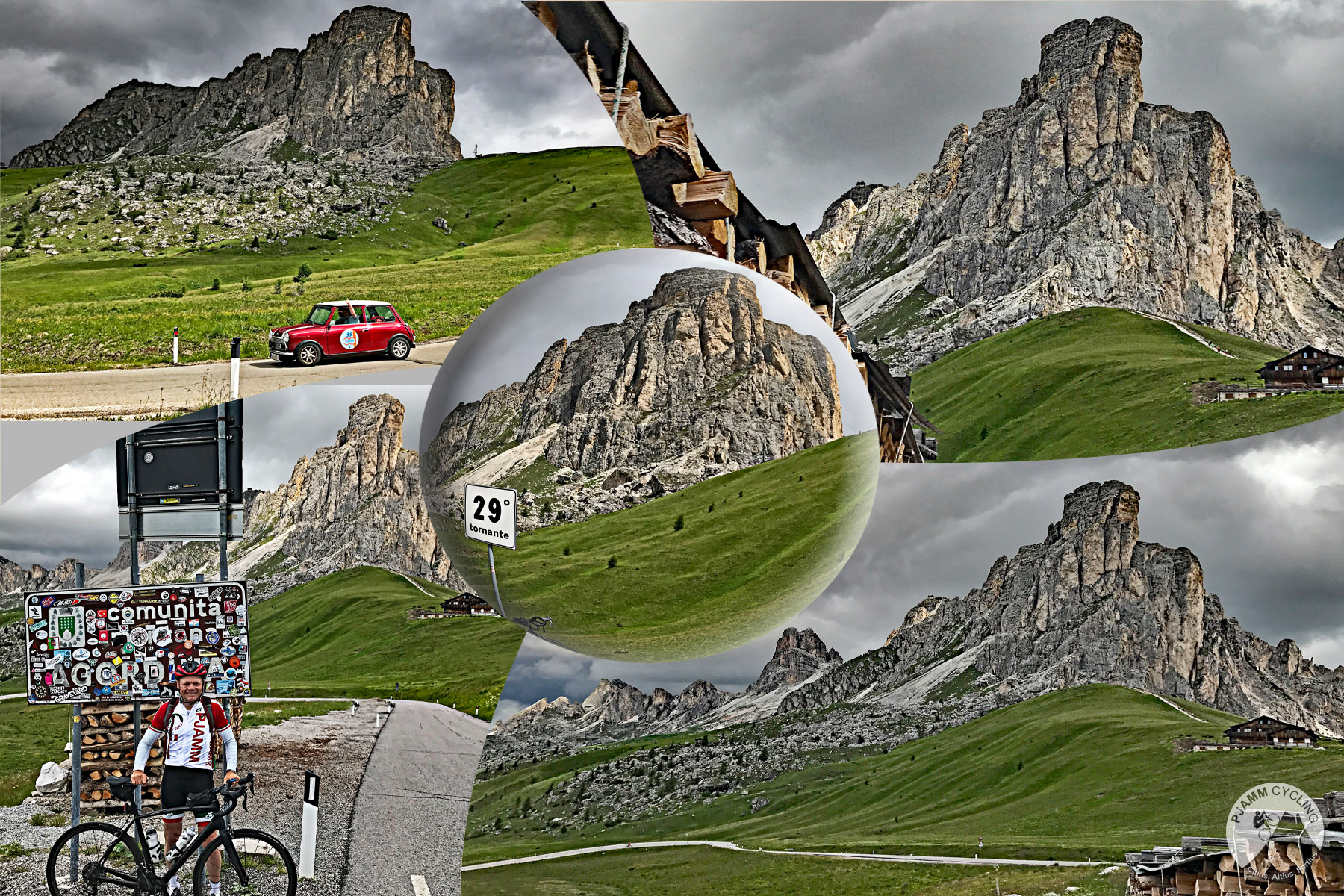
It's shorter and a touch gentler than the south side from Selva di Cadore, but there's little rest. After an easier first kilometer, the road climbs through about 25 hairpins at a steady 7-9%, and the hardest stretch comes in the middle, where the fifth and sixth kilometers both average close to 10%. The scenery starts immediately: in the first 500 m (0.3 mi) the Cinque Torri appear to the west, and the final kilometers open onto high pasture with Ra Gusela and Nuvolau towering over the pass.
We rode it on an overcast, dark day, and it was still stunning - when the sun shines on these mountains, it's spectacular. The Giro d'Italia has crossed Passo Giau 11 times since 1973, and this Cortina side has often been the race's way down into town, as in 2021, when Egan Bernal attacked over the top in the maglia rosa and won alone in Cortina. In May 2026 the Giro again crested the Giau as the Cima Coppi before descending this side to Pocol.
PLAN YOUR ROUTE
 We've partnered with Sherpa-Map.com to bring you the best route planning tool. With a PRO Membership you can use this climb as a reference when creating your route.
The north side of Passo Giau averages 8.2% over 8.8 km (5.4 mi), climbing from 1518 m (4,980 ft) at Pocol to 2236 m (7,336 ft) at the pass.
The first kilometer is the easiest, at 6.2%. From there the road settles into 7-9% hairpins, with the second and fourth kilometers both close to 9%.
The heart of the climb is the fifth and sixth kilometers, which average 9.8% and 9.7% - the steepest kilometer is 10.1% and the steepest 500 m (0.3 mi) 10.5%. The last 3 km (1.9 mi) ease only slightly, to about 8%, and never really let up all the way to the pass.
Roadway: The SP638 is paved the entire way, and rider reports rate the surface as mostly great - the Giro d'Italia raced down this side as recently as May 2026. This is a high mountain road: avalanches often disrupt access on the exposed sections in winter, so check Provincia di Belluno and Cortina d'Ampezzo road notices early or late in the season.
Traffic: The busiest part of the ride is the approach from Cortina on the SR48, which carries heavy Falzarego and Dolomites traffic. Once you turn off at Pocol things calm down noticeably, but the Giau road is open to trucks and coaches and draws plenty of cars and motorcycles in July and August - start early for the quietest conditions. On Maratona dles Dolomites day in early July, the Pocol - Passo Giau - Selva di Cadore road is closed to motor traffic (09:00-14:00 in 2026).
Parking: Most riders start from Cortina d'Ampezzo and ride up the SR48 to Pocol as a warm-up. At the top, the parking at the pass fills early on summer days and drivers end up on the roadside below the summit, so if you're arranging a pickup, plan to meet early or a little below the top.
Gear: With most of the climb at 8-10%, a compact crankset with a 30- to 34-tooth low cog lets most riders keep a steady cadence. The pass is above 2200 m (7,218 ft), so carry a jacket or gilet for the descent even in midsummer.
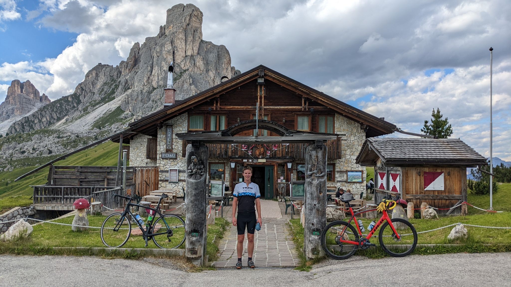
Provisions: Fill bottles in Cortina or Pocol before you start. At the top, Rifugio Passo Giau sits right at the summit, and the Ristorante Da Aurelio, open since 1970, has a panoramic terrace close to the pass.
Before heading out on any cycling adventure check out our Things to Bring on a Cycling Trip and use our interactive check list to ensure you don't forget anything.
Pocol, at the foot of the climb, is home to the Sacrario militare di Pocol, a massive square stone tower visible from the Ampezzo valley below. Built in 1935 on the site of a 1916 Alpine troops' cemetery, it holds the remains of 9,707 Italian soldiers - 4,455 of them unknown - and 37 Austro-Hungarian soldiers from the Dolomite front, with General Antonio Cantore in a crypt at its center. It's a short, sobering detour before you start.
Cortina d'Ampezzo, co-host of the 2026 Winter Olympics, is the natural base for this side of the Giau, with Passo Falzarego, Passo Tre Croci and the Tre Cime di Lavaredo all within reach. The Cinque Torri, which you see early on the climb, are an open-air museum of Great War trenches reached by chairlift from the Falzarego road. For the Val Fiorentina side see our Passo Giau (South) page, and for the Lagazuoi tunnels see Passo Valparola (Caprile).
See other climbs nearby, or build a custom route linking the Giau with Falzarego and Tre Croci, with our Routes in the Area tool.
ROUTE MAP

MEMBER RATING
CURRENT WEATHER
PJAMM TRIPS ADVENTURE STARTER BUNDLES
Check out PJAMM Adventure's prepackaged (self-guided) cycling trips. They will help you plan, document and conquer your next adventure.
NEARBY CLIMBS (0) RADIAL PROXIMITY
FROM No Climbs Found
MEMBER REVIEWS & COMMENTS
Let us know what you thought of this climb. Signup for our FREE membership to write a review or post a comment.
Already have an account?
LOG IN HERE
Jimbobuk67
After climbing most mythical Cols in Italy I have found this to be the hardest. Not because of it's gradient, but because you arrive cold after the descent to its' base and in my case both times underdressed. That said everywhere around in the region is magical to climb and we really enjoyed staying in La Villa for our base. Back in 10 weeks time - can't wait!