19.9
PDI
11.5 mi
DISTANCE
3,548 ft
GAINED
5.8 %
AVG. GRADE
FULL CLIMB STATS
Page Contributor(s): Erwan Treguier, Brittany, France
INTRO
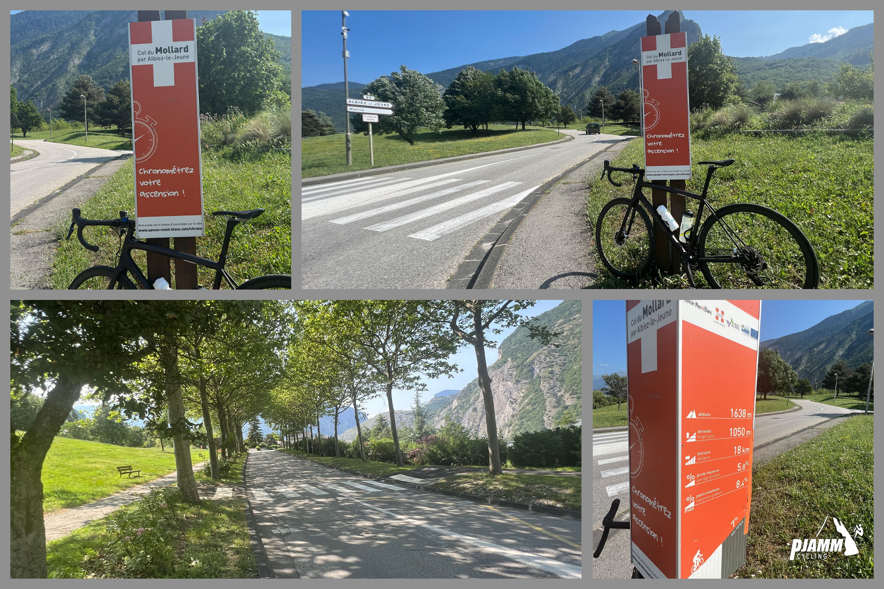
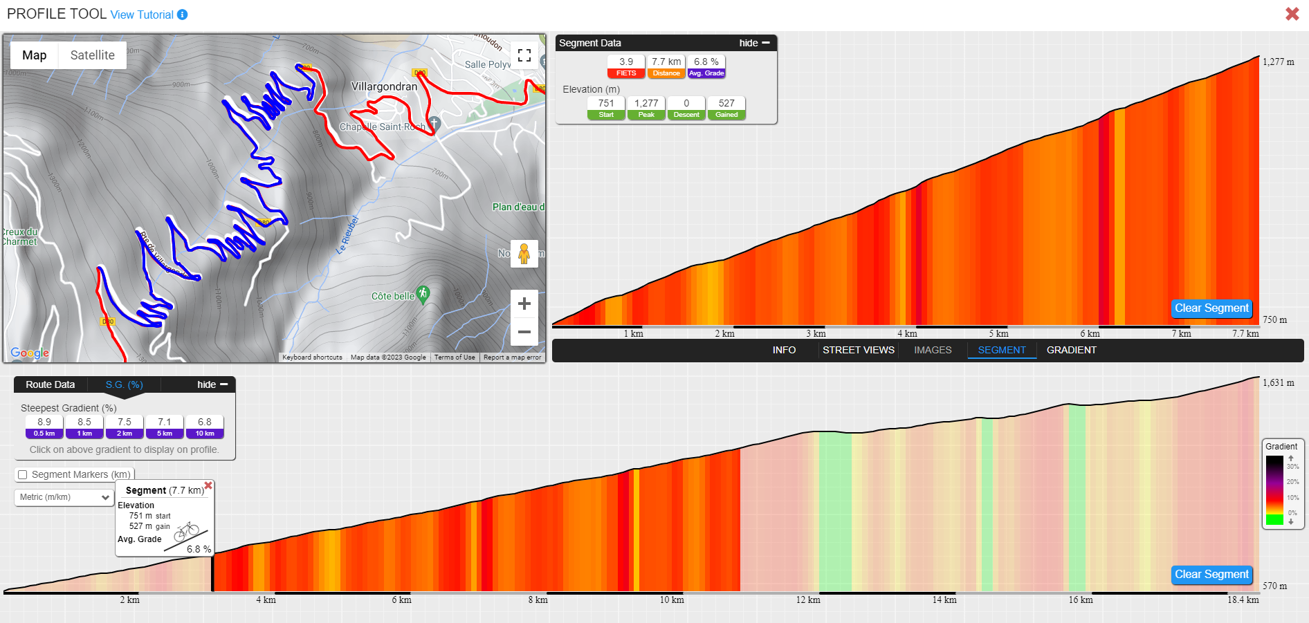
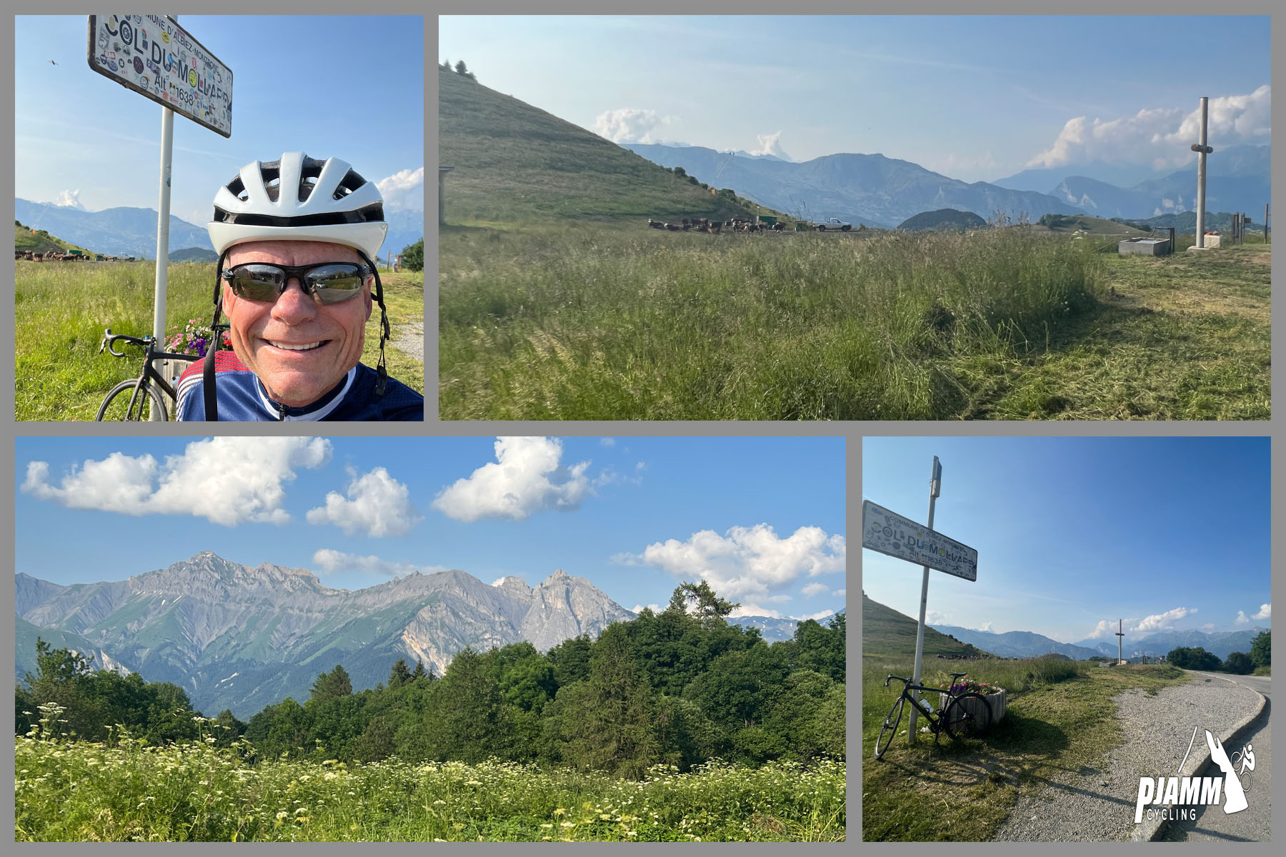
The Col du Mollard North climbs 18.4 km (11.5 mi) from Villargondran, just outside Saint-Jean-de-Maurienne, gaining 1,081 m (3,548 ft) at a 5.8% average grade. It runs from 570 m (1,869 ft) in the Maurienne valley to 1,631 m (5,351 ft) at the col, passing through the Albiez villages on the way.
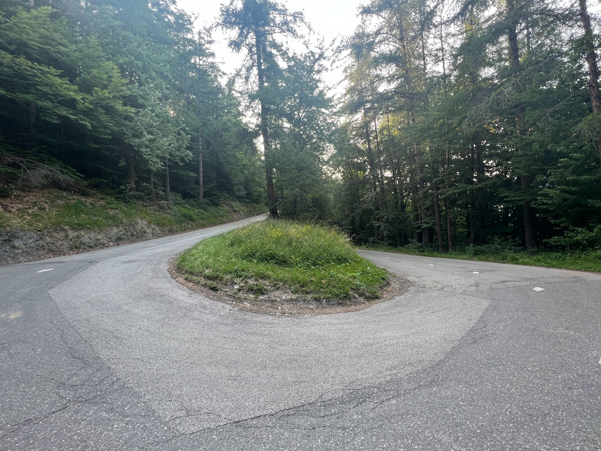
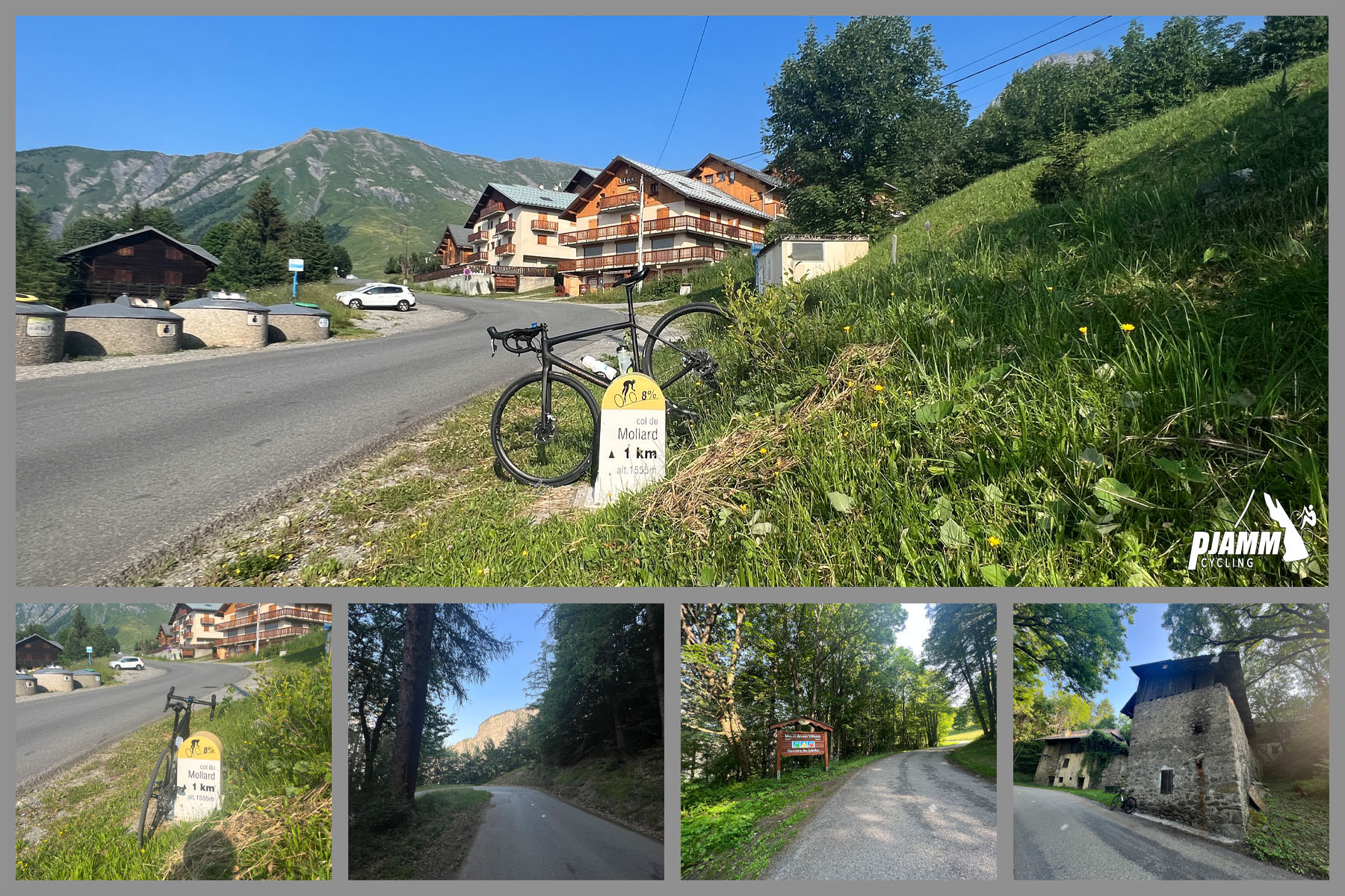
The first half of the ride is the hardest and the most characteristic: a long run of switchbacks, around 37 in a 7.7 km (4.8 mi) stretch beginning about 3 km (1.9 mi) from the start, climbs steadily through shaded forest at roughly 7%. After the Col de la Confrérie (1,368 m / 4,488 ft) at Albiez-le-Jeune, the trees open out, the road becomes more irregular, with short descents and ramps of 8-10%, and the Aiguilles d'Arves come into view. The final kilometers are exposed and steeper again.
Traffic is very light, and the shade makes this a good choice on a hot day. The Col du Mollard has featured in the Tour de France three times, in stages finishing at La Toussuire in 2006, 2012 and 2015.
PLAN YOUR ROUTE
 We've partnered with Sherpa-Map.com to bring you the best route planning tool. With a PRO Membership you can use this climb as a reference when creating your route.
The climb averages 5.8% over 18.4 km (11.5 mi), but the first half is steeper than that suggests. The forest hairpins hold a steady grade of roughly 7%, and the climb eases after Albiez-le-Jeune before the road steepens again in the last couple of kilometers.
The steepest 91 m (100 yd) reaches 12.2%, the steepest 0.5 km (0.3 mi) averages 8.9%, and the steepest 1 km (0.6 mi) averages 8.5%. Over the hardest 2 km (1.2 mi) the grade is 7.5%, over the hardest 5 km (3.1 mi) it is 7.1%, and over the hardest 10 km (6.2 mi) it is 6.8%. Settle into the hairpins at a pace you can hold, since the climb does not give you many flat sections to recover.
Roadway: The road is paved all the way, but the surface is uneven. Riders report a damaged surface in places, especially in the hairpins and after Albiez-le-Jeune, and resurfacing work in recent years has left some sections coarse and gravelly. Take extra care on the descent, since the poor surface and the hairpins catch people out; many riders prefer to come down via Albiez-le-Vieux on the western road.
Traffic: Light, especially through the forest, where the climb is mostly local cars and other cyclists. Albiez-Montrond and the upper villages are busier in the ski season than in summer.
Parking: Villargondran is a small hillside village, so park courteously on the edge of the village and keep driveways and entrances clear. Alternatively, use the street parking near the center of Saint-Jean-de-Maurienne, covered on our Col de la Croix de Fer (Saint-Jean-de-Maurienne) page, and ride the short approach to the start.
Provisions: Fill your bottles before you leave, since the forest section has no services. There is a water point and a place to eat and drink near the col, and the Albiez villages have basic services, but opening hours vary by season.
Gear: A compact crankset with a 28 to 30 tooth cassette is a good choice for the long hairpin section and the steep finish. The lower forest can be hot and humid, with reports of 27 degrees C by 10 a.m. in June, so bring enough water, and carry a light layer for the descent, since the col is more than 1,000 m (3,280 ft) above the valley.
Before heading out on any cycling adventure check out our Things to Bring on a Cycling Trip and use our interactive check list to ensure you don't forget anything.
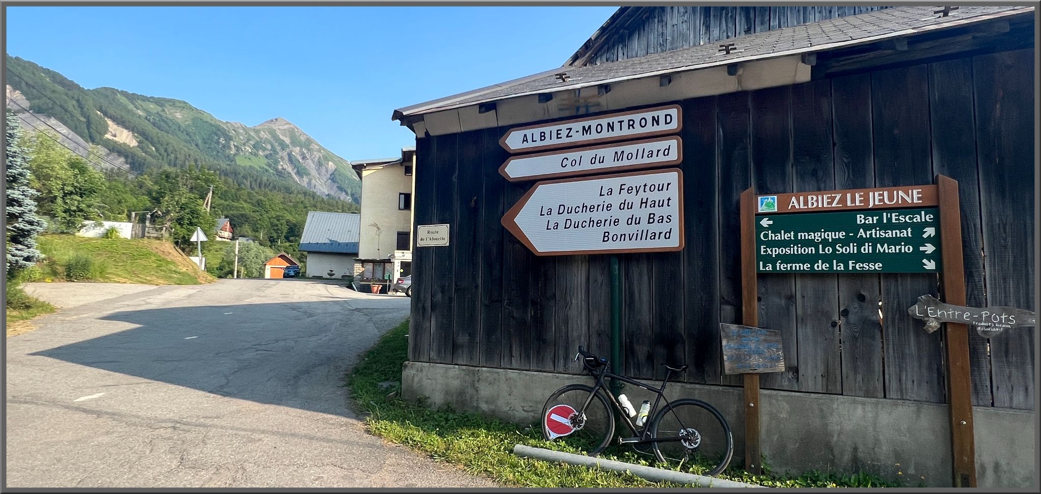
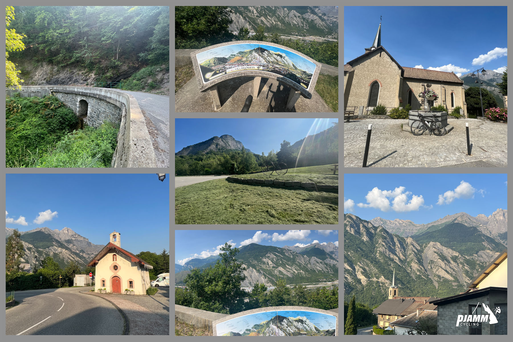
This is the northern approach to a col that other climbs reach from different sides, so the local interest here is in the villages you pass. Albiez-le-Jeune is the quiet hamlet at the Col de la Confrérie, with a village trail past the rock sculpture known as the Moine de Champlan, and higher up, Albiez-Montrond is the main village of a small, relaxed ski area at about 1,500 m (4,921 ft), facing the Aiguilles d'Arves. Its Ecomuseum, which has an exhibition on mountain life, is a worthwhile stop on a rest day.
From the col you can continue toward the Col de la Croix de Fer, and some riders use the Mollard as a way up to Croix de Fer that avoids the tunnels on the main approach. Saint-Jean-de-Maurienne, covered on our Col de la Croix de Fer (Saint-Jean-de-Maurienne) page, is the town for lodging and supplies. The col is much higher and cooler than the valley, so check conditions before you ride with our Weather tool.
ROUTE MAP

MEMBER RATING
CURRENT WEATHER
PJAMM TRIPS ADVENTURE STARTER BUNDLES
Check out PJAMM Adventure's prepackaged (self-guided) cycling trips. They will help you plan, document and conquer your next adventure.
NEARBY CLIMBS (0) RADIAL PROXIMITY
FROM No Climbs Found
MEMBER REVIEWS & COMMENTS
Let us know what you thought of this climb. Signup for our FREE membership to write a review or post a comment.
Already have an account?
LOG IN HERE