48.1
PDI
19 mi
DISTANCE
6,869 ft
GAINED
6.9 %
AVG. GRADE
FULL CLIMB STATS
Page Contributor(s): Ties Arts, Bussum, Netherlands; • Gevorg Nahapetian, Pleasanton, California; Hmo Gh, Yerevan, Armenia
INTRO
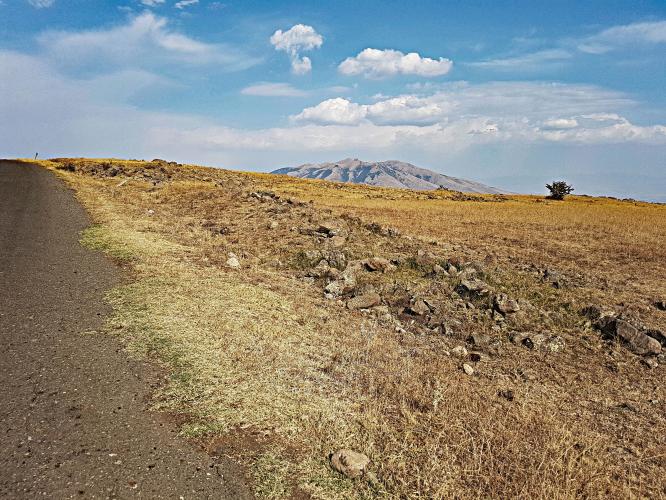
Mt. Aragats is Armenia's highest peak - a dormant, four-peaked stratovolcano that tops out above 4,000 meters (13,400 feet) and dominates the skyline of Aragatsotn Province northwest of Yerevan. The bike climb follows a paved mountain road for more than 30 km (18+ miles) from the village of Agarak up to Kari Lake at roughly 3,200 meters (10,500 feet) - currently the hardest climb in Armenia in our database.
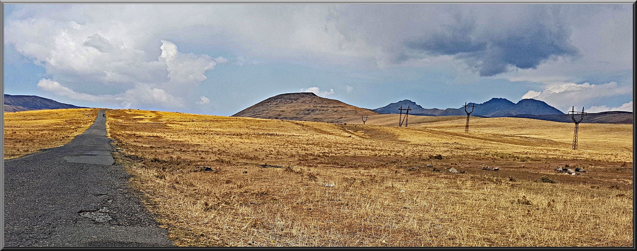
What makes the ride distinctive is the terrain change: it starts through farmland and low hills around Agarak, climbs into open alpine tundra with sweeping views over the Ararat Valley, and finishes in a stark, high-altitude volcanic landscape near a glacier-fed lake. The four summits of Aragats hold snow nearly year-round, and on a clear day you can see Mt. Ararat across the Turkish border to the south.
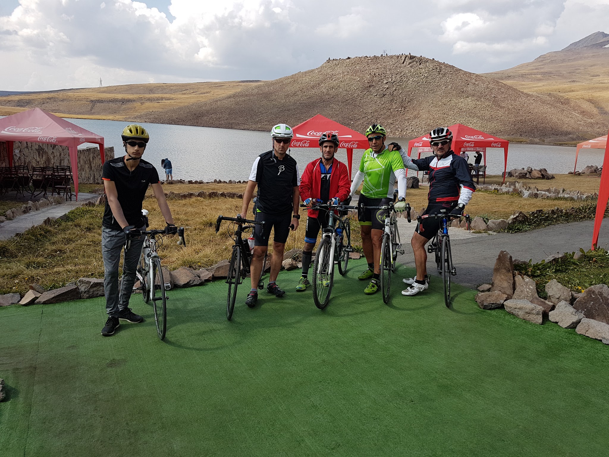
The road is only reliably open from mid-May through mid-October; outside that window snowdrifts can close sections overnight, and even in summer the upper kilometers are exposed to strong wind. A small guesthouse and a Cosmic Ray Research Station sit near Kari Lake, and many riders continue on foot from there to summit one of the four peaks.
What makes the ride distinctive is the terrain change: it starts through farmland and low hills around Agarak, climbs into open alpine tundra with sweeping views over the Ararat Valley, and finishes in a stark, high-altitude volcanic landscape near a glacier-fed lake. The four summits of Aragats hold snow nearly year-round, and on a clear day you can see Mt. Ararat across the Turkish border to the south.
The road is only reliably open from mid-May through mid-October; outside that window snowdrifts can close sections overnight, and even in summer the upper kilometers are exposed to strong wind. A small guesthouse and a Cosmic Ray Research Station sit near Kari Lake, and many riders continue on foot from there to summit one of the four peaks.
PLAN YOUR ROUTE
 We've partnered with Sherpa-Map.com to bring you the best route planning tool. With a PRO Membership you can use this climb as a reference when creating your route.
 Aragats climbs steadily rather than steeply for most of its length - Agarak sits around 1,600 meters, so the more than 30 km up to Kari Lake average out to a moderate, sustained grade rather than a series of brutal ramps. That said, the road surface does some of the climb's dirty work: it's aging pavement that has cracked and patched over the years, and the final kilometers near the lake add both altitude-thinned air and exposed crosswinds that make the effort feel harder than the raw numbers suggest.
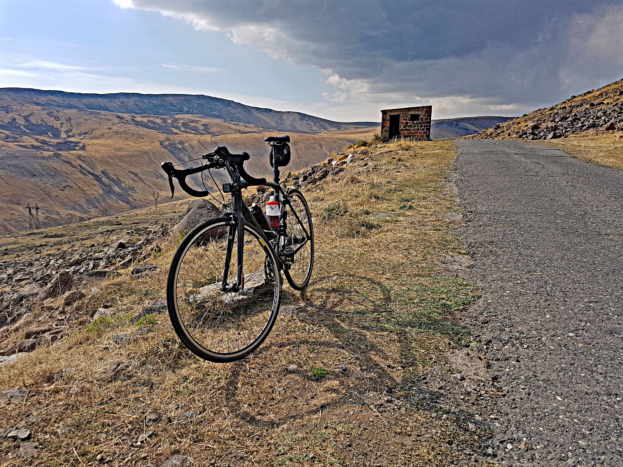
Roadway: The road up to Kari Lake is paved for its entire length but shows real wear - expect patched sections, potholes, and rough pavement in places, especially above the treeline where freeze-thaw cycles do the most damage. It's still comfortably rideable on a standard road bike.
Traffic: Traffic is light. This is a mountain access road rather than a through route, so most vehicles you'll see are other visitors headed to Kari Lake, the Cosmic Ray Research Station, or the trailheads for Aragats' four peaks - heaviest on summer weekends.
Parking: There's informal parking near the guesthouse and research station at Kari Lake, and riders based in Yerevan or Byurakan can also start lower down in Agarak if they'd rather ride the full 30+ km from the valley floor.
Kari Lake sits above 3,000 meters, so altitude is the main gear consideration - even strong riders will feel the thinner air on the upper switchbacks, and it's worth acclimatizing a day or two in Yerevan (about 990m) or Byurakan before attempting the full climb. Temperatures swing hard between the farmland start and the alpine finish: pack a wind shell and arm/knee warmers even in July and August, since the summit area holds snow patches most of the year and wind chill is real.
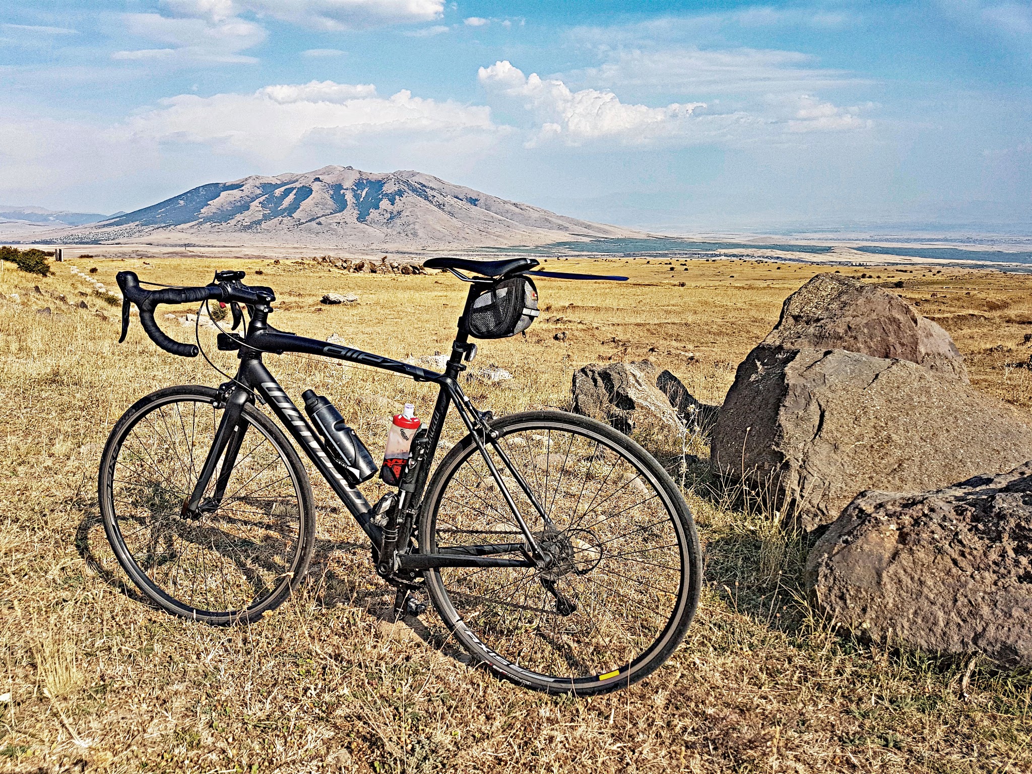
A standard road bike with lower gearing handles the aging pavement fine - there's no need for wide gravel tires. Carry more water and food than you think you'll need; there's nothing between Agarak and the small guesthouse near Kari Lake, more than 30 km up.
A standard road bike with lower gearing handles the aging pavement fine - there's no need for wide gravel tires. Carry more water and food than you think you'll need; there's nothing between Agarak and the small guesthouse near Kari Lake, more than 30 km up.
Before heading out on any cycling adventure check out our Things to Bring on a Cycling Trip and use our interactive check list to ensure you don't forget anything.
Yerevan is the natural base, about 90 minutes by car from Agarak and served by direct flights from major European and Middle Eastern hubs. The climbing season runs roughly mid-May through mid-October; visit earlier or later and you risk snow closing the upper road entirely. A small guesthouse and cafe operate near Kari Lake in season, but don't count on it being open - bring your own supplies as a backup.
If you have time after the ride, the 7th-century Amberd fortress and the Saghmosavank and Hovhannavank monasteries are a short detour off the road back down toward Yerevan and make a worthwhile add-on to the trip.
If you have time after the ride, the 7th-century Amberd fortress and the Saghmosavank and Hovhannavank monasteries are a short detour off the road back down toward Yerevan and make a worthwhile add-on to the trip.
If you know any other good climbs in Armenia, we know we're missing a ton - so tell us!
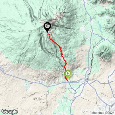
ROUTE MAP
MEMBER RATING
CURRENT WEATHER
PJAMM TRIPS ADVENTURE STARTER BUNDLES
Check out PJAMM Adventure's prepackaged (self-guided) cycling trips. They will help you plan, document and conquer your next adventure.
NEARBY CLIMBS (0) RADIAL PROXIMITY
FROM No Climbs Found
MEMBER REVIEWS & COMMENTS
Let us know what you thought of this climb. Signup for our FREE membership to write a review or post a comment.
Already have an account?
LOG IN HERE