Page Contributor(s): Giordano Castagnoli, Umbria, Italy; Helmuth Dekkers, Netherlands.
INTRO
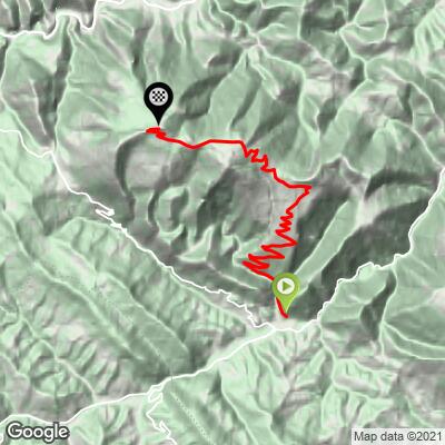
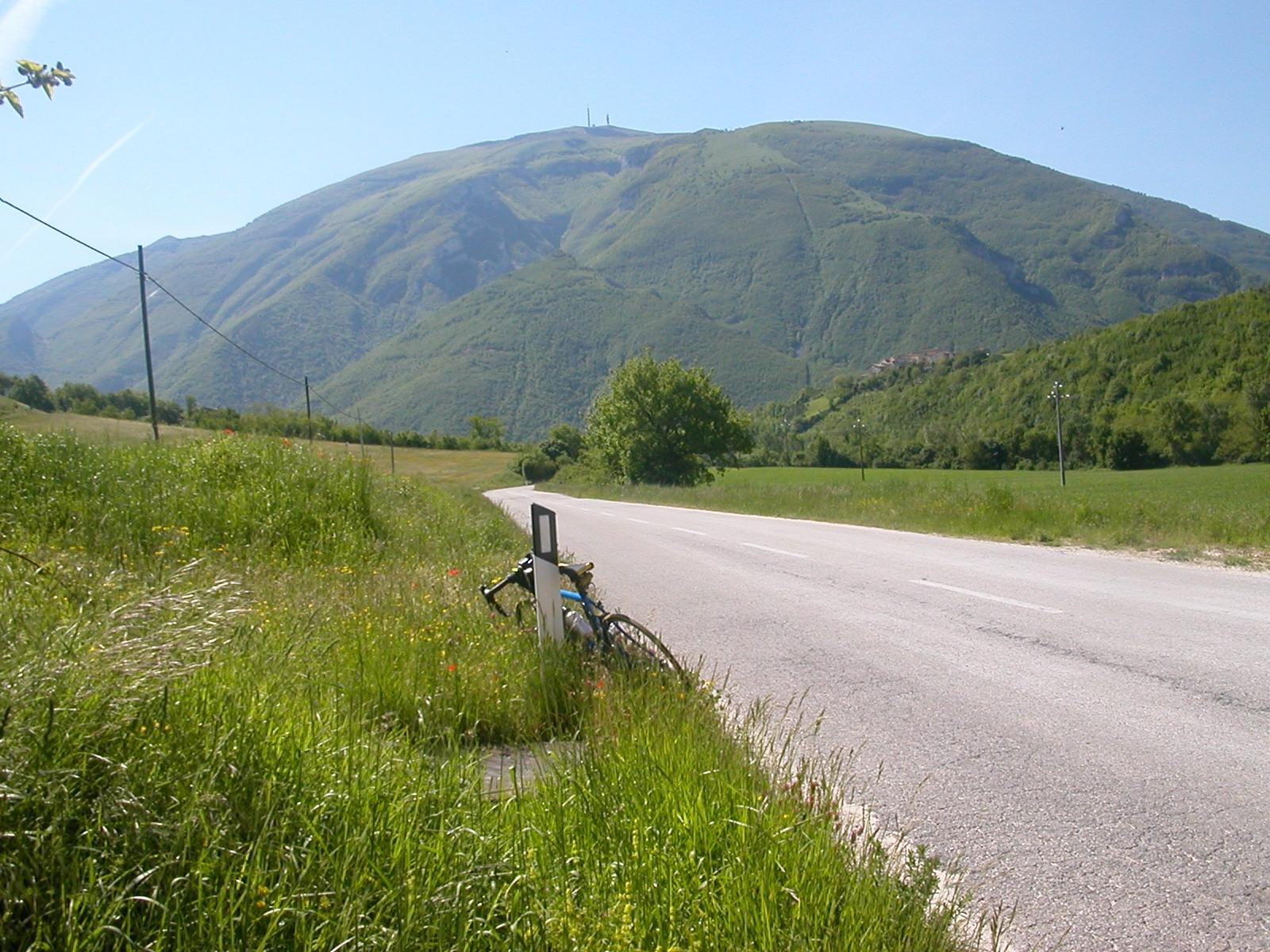
Monte Nerone South climbs 16.2 km (10.1 mi) from the small stone village of Pianello di Cagli to the road's end at the RAI transmitter station just below the 1525 m (5,003 ft) summit, gaining 1139 m (3,737 ft) at a 6.6% average. It's one of three distinct approaches to the Marche's most iconic mountain, and for many local riders it's the best.
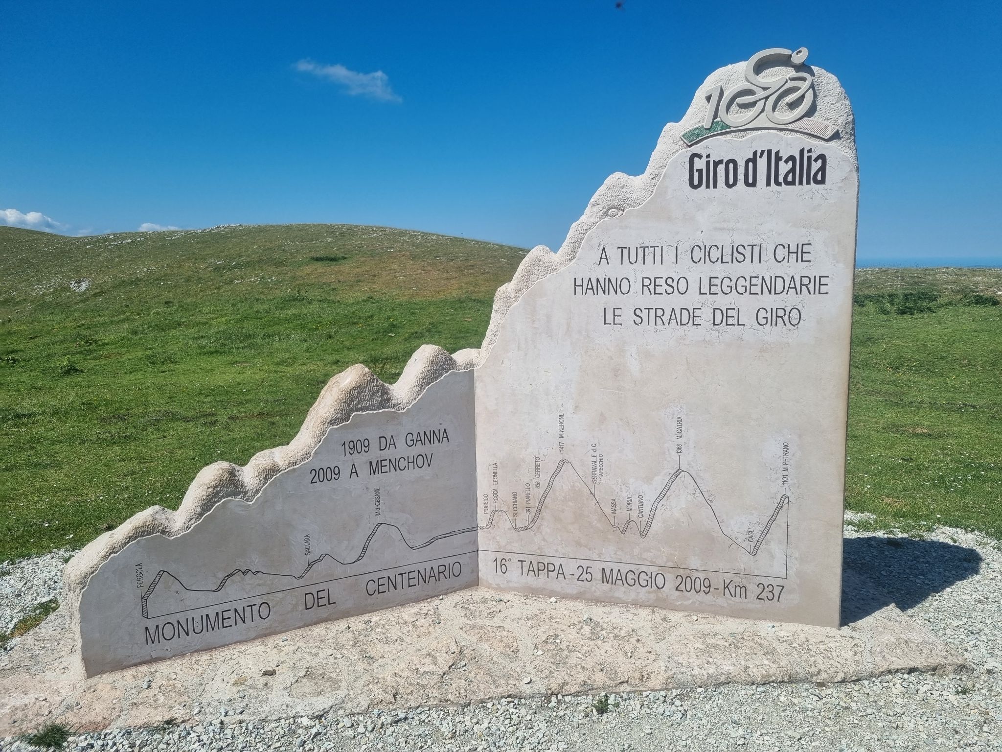
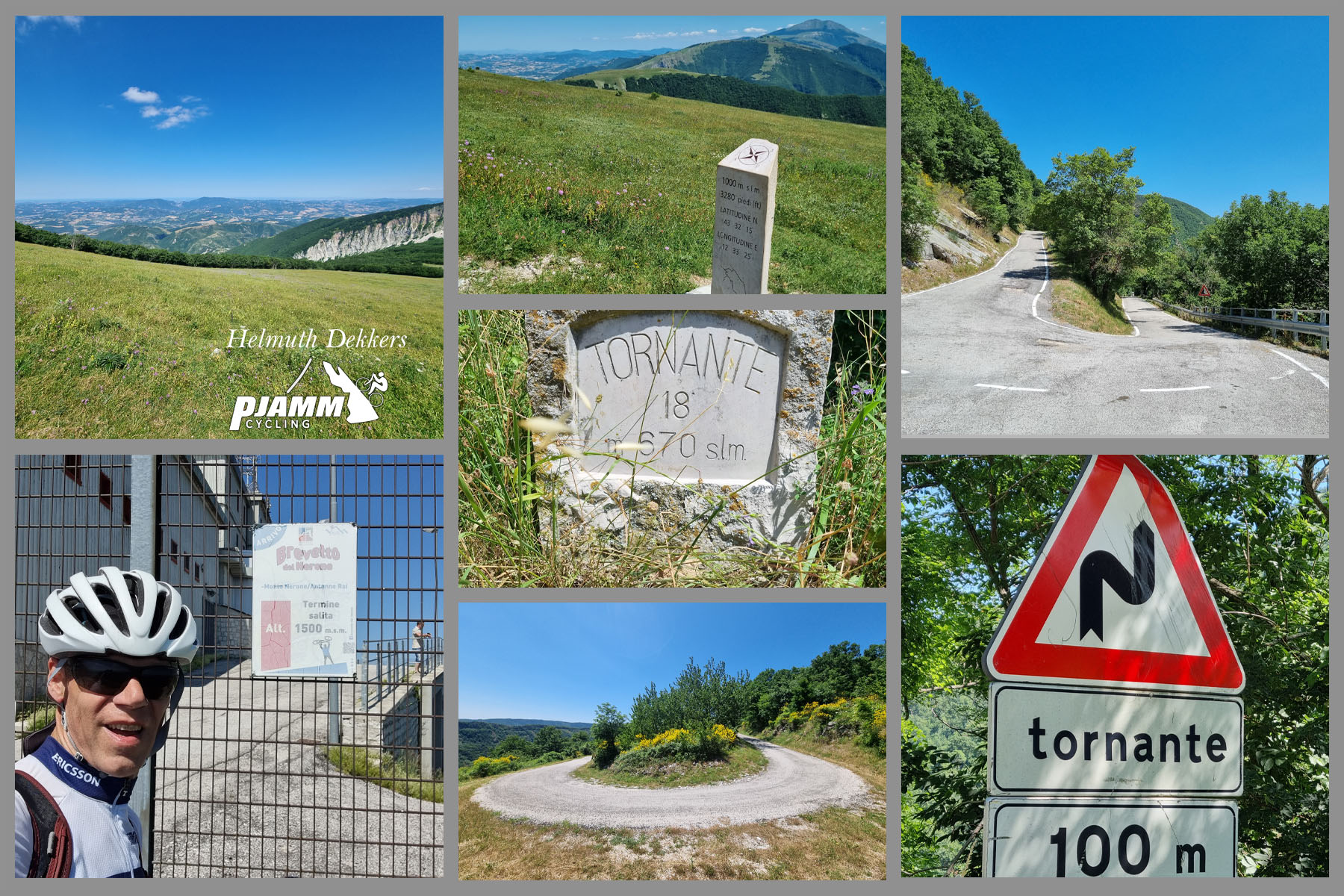
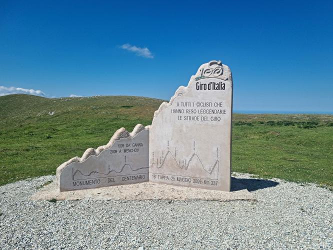
This is the side the Giro d'Italia climbed in its centenary edition in 2009, and a marble monument to that stage marks the top of the main ascent. Locals call it the "Ventoux of the Marche," and you'll see why: above the hamlet of Cerreto the narrow road zigzags up open, grassy slopes through more than 20 numbered hairpins, with almost no shade and a view that widens with every turn - on a clear day, all the way to the Adriatic.
The overall average undersells the effort. After an easy opening kilometer, the road holds 7.5-8.7% for 11 straight kilometers. A short descent through the woods beyond the Giro monument is followed by the final ramp to the summit antennas. With a narrow, sun-baked road and little traffic, it's a spectacular climb on a cool morning and a punishing one in the midday heat.
PLAN YOUR ROUTE
 We've partnered with Sherpa-Map.com to bring you the best route planning tool. With a PRO Membership you can use this climb as a reference when creating your route.
 Monte Nerone South is 16.2 km (10.1 mi) long with 1139 m (3,737 ft) of elevation gain, an average grade of 6.6%.
After a gentle first kilometer through Pianello, the climb hits its stride: from km 2 to km 13 every single kilometer averages between 7.4% and 8.7%, a remarkably consistent 11 km (6.8 mi) effort up the open hairpins above Cerreto. There's only one brief flat spot, around Bocca del Piano at roughly 1100 m (3,609 ft), before the grade picks up again, with pitches of up to 12% in the last few kilometers to the Giro monument.
Beyond the monument the road drops through the beech woods for about a kilometer, then eases along to the junction below the summit. The final kilometer to the road's end is one of the steepest of the day at about 9%.
Steepest sections: 0.5 km (0.3 mi) at 10.1%, 1 km (0.6 mi) at 9.3%, 2 km (1.2 mi) at 8.8%, 5 km (3.1 mi) at 8.5%, and 10 km (6.2 mi) at 8.2%.
Roadway: Paved throughout, but this is a narrow, rough mountain road rather than a smooth race course. The Pianello side was patched up in 2021 after years of decay and is fine for climbing, though riders still report potholes, small slides and sharp debris in places, and the wooded descent beyond the Giro monument is especially broken. Don't descend this side - take the wide, well-surfaced Serravalle di Carda road instead.
Traffic: Very light. Weekend car traffic on Monte Nerone concentrates on the Serravalle di Carda side, which is a big reason local riders consider Pianello the best way up.
Parking: Pianello is a tiny village, so park considerately on its edge, or park in Cagli and use the flat, quiet 12.5 km (7.8 mi) road up the Bosso valley as your warm-up.
Provisions: Fill your bottles in Pianello - there's no water on the climb itself. At the junction below the summit there's a seasonal rifugio bar-restaurant, and the nearest fountain is a kilometer or two down the Serravalle di Carda descent.
Gear: A compact crankset and a big cassette are worth it for 11 km of 7.5-8.7% with steeper pitches. The climb is almost completely exposed to the sun, so avoid hot afternoons, wear sunscreen, and carry a layer for the windy, often much cooler summit.
Pianello sits where the Torrente Giordano meets the Bosso, with stone houses, cobbled lanes and an old tower-house that once doubled as a dovecote. Just downstream, Cagli is the nearest town with full services and a handsome historic center, and makes the natural base for a stay.
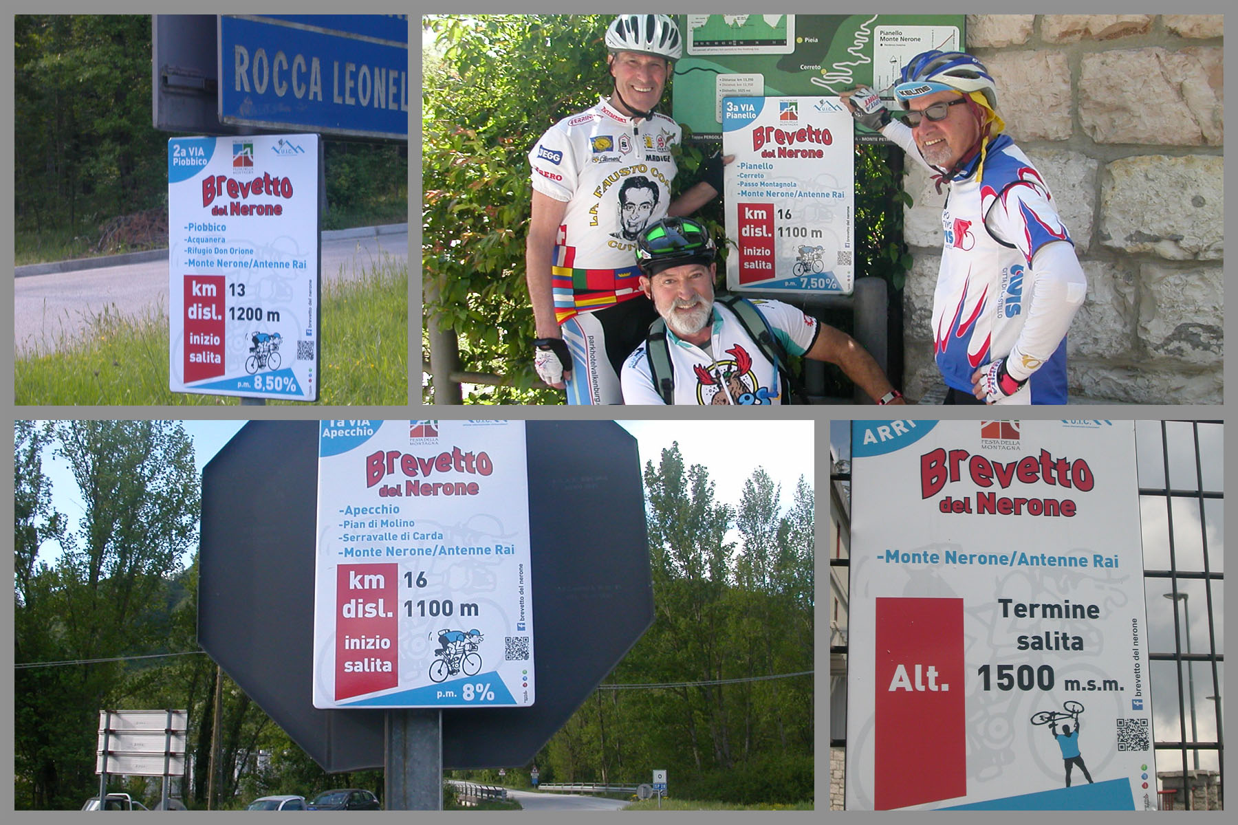
This is one of three ways up Monte Nerone, alongside the Piobbico side (see our Monte Nerone North page, which covers Piobbico's castle) and the Apecchio side via Serravalle di Carda. Riding all three earns the informal Brevetto del Monte Nerone, and neighboring Monte Catria and Monte Petrano can turn a weekend here into a proper Apennine stage race. See other climbs nearby, or build a custom route from here, with our Routes in the Area tool.
ROUTE MAP