Montezuma Borrego Highway Bike Climb - PJAMM Cycling

19.7
PDI
10.8 mi
DISTANCE
3,476 ft
GAINED
6 %
AVG. GRADE

FULL CLIMB STATS

Page Contributor(s): Larry and Carolyn Rose, Truckee, CA; Bruce Hamilton, Laquinta, CA; Luke Hise, Phoenix, AZ.

INTRO

Ahhhhhhh - the third most difficult bike climb in San Diego County! This one is worth the trek to get to and is an exceptional climb.

PLAN YOUR ROUTE

We've partnered with Sherpa-Map.com to bring you the best route planning tool. With a PRO Membership you can use this climb as a reference when creating your route.
The average grade of the climb is 6.1% (6.4% without descent included). 3.7 miles (35%) of the climb are at 0-5%, 5.4 miles (50%) are at 5-10%, 1.1 miles (10%) are at 10-15%, and 0.2 miles (1.6%) is at 15-20%.  The steepest quarter-mile is 12% and steepest continuous mile 8.5%.  

See more details and tools regarding this climb's grade via the “Profile Tool” button.
Roadway:  Excellent condition with a shoulder for portions of this highway climb.  While the climb is on a highway, we felt safe during our one trip up the mountain. 

Traffic:  Mild

Parking:  Not a problem - we parked on Hoberg Road just across Palm Canyon Drive from the start - Map; Street View
Provisions:  There are no provisions along the climb so be prepared - particularly with water because this climb is out of the desert.  There are several locations in Borrego Springs to get food and beverages. 

Weather:  It can be torturously hot in this area during the summer - The average high from June to August is from 103-108.  Consult the PJAMM "Full Forecast" feature for the time you expect to start and finish your climb and plan (or cancel) accordingly. 
Before heading out on any cycling adventure check out our Things to Bring on a Cycling Trip and use our interactive check list to ensure you don't forget anything.
This climb is a bit of an outlier and you may wish to stay in Borrego Springs when you do the climb.  There are also options for vacation rentals in the area.  Visit Anza-Borrego State Park while you are in the area - Visitor Center - Google Map + Reviews

If you enjoy hiking and adventuring on foot, here are the best hikes in Borrego State Park - All Trails Borrego State Park Best Trails.

Refer to our Southern California climb area page for the best climbs in Southern California.  Use the “Routes in Area” button on the menu bar above to see other bike climbs in this area. 

ROUTE MAP

MEMBER RATING

Difficulty: Challenging
4
Road
4.5
Traffic
4
Scenery

CURRENT WEATHER

PJAMM TRIPS ADVENTURE STARTER BUNDLES

Check out PJAMM Adventure's prepackaged (self-guided) cycling trips. They will help you plan, document and conquer your next adventure.
ALL TRIPS
Browse all of our prepackaged trips and find your next adventure!
Palomar Mountain
United States (CA)
4 ROUTES
20 POIs
ROUTE STATS (TOTAL)
42.7
mi
DISTANCE
12,975
ft
ELEV. GAIN
San Gabriel Mountains
United States (CA)
38 ROUTES
43 POIs
ROUTE STATS (TOTAL)
677.5
mi
DISTANCE
80,483
ft
ELEV. GAIN

NEARBY CLIMBS (0) RADIAL PROXIMITY

FROM
No Climbs Found

MEMBER REVIEWS & COMMENTS

Let us know what you thought of this climb. Signup for our FREE membership to write a review or post a comment.
Already have an account?

Mar 29, 2023
difficulty: Challenging
scenery: 5
traffic: 5
road: 4
Mar 29, 2023
scenery: 5
traffic: 5
road: 4
I did this climb in the middle of a 600k brevet. I started climbing about 1hr before sunrise at around 5:30am. I was really fatigued from riding 250 miles before so it probably seemed harder than it was, but still did not feel too strenuous. I timed it so the sun rose when I was halfway up the climb and the desert and canyon came alive around me. Absolutely stunning scenery. As it was early, I saw maybe 3-5 cars the entire climb and generally felt safe, but I wouldn't do this later in the day. In general, the climb is always windy and there can be some very strong gusts. It can also get pretty cold at the top so it is good to carry a layer for the descent. It was in the 50s at the bottom, but by the time I reached the summit, it was in the low 30s.
Mar 27, 2021
difficulty: Challenging
scenery: 3
traffic: 4
road: 4
Mar 27, 2021
scenery: 3
traffic: 4
road: 4
I really like low desert climbs and this one qualifies as it begins near sea level. A solid category 1 hill, it carries a steady grade through a twisty route with nice views along the way. Its isolated but well worth it.
ROUTE MAP
PROFILE TOOL
Route Data
S.G. (%)
hide
Segment Data
hide
CLIMB SUMMARY

Cycling Montezuma Borrego Highway: Highway S22, San Diego County, CA

Ride 10.8 miles gaining 3,496’ to elevation 4,216’ at 6.1% average grade.

Climb summary by PJAMM’s John Johnson.

Ahhhhhhh, this one is the third most difficult bike climb in San Diego County!  Montezuma Borrego Highway is worth the trip and is an exceptional climb.  

IMG_0207.JPG   


This is a poor man's Mt. Lemmon -- it has some very nice rock formations and distant, spectacular views of the Anza Borrego Desert and the stark San Jacinto Mountains just beyond.

IMG_0326.JPG 

Cycle past interesting rock formations throughout the climb.


For the ambitious cyclists, Montezuma Highway can be done in conjunction with Palomar Mt. East (the starting points of each climb are only 33 miles apart).

The climb begins in
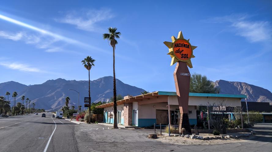
Borrego Springs, CA which is a bit of a trek from San Diego (90 miles) but well worth the trip.  There is decent lodging in the area and great desert activities to choose from (hikes, birding, stargazing, cycling, etc.)  

Bruce with Anza Borrego Desert in the background.

The descent into Borrego Springs is known as the glass elevator due to the expanding desert panoramas as you descend, as if you were in a glass elevator.

Roadway Surface and Traffic Report:  The roadway surface is excellent and traffic mild to moderate, although it is a highway and traffic can pass by at a good clip.

IMG_0235.JPG   

Climb’s Start.

Borrego Springs is designated as an international “dark sky” location, meaning there are no stop lights in town so as to improve views of the sky at night. The town is surrounded by the 600,000 acre Anza-Borrego Desert State Park (est. 1933) which is the largest state park, not only in California, but also in the US.  Come for the ride, stay for the fun: there are four public golf courses, a tennis center, horseback riding, and it is a destination for the winter migration of snowbirds.

 IMG_0350.JPG

Climb’s Finish.