27.3
PDI
9.2 mi
DISTANCE
3,925 ft
GAINED
7.9 %
AVG. GRADE
FULL CLIMB STATS
Page Contributor(s): Giordano Castagnoli, Umbria, Italy; Helmuth Dekkers, Netherlands.
INTRO
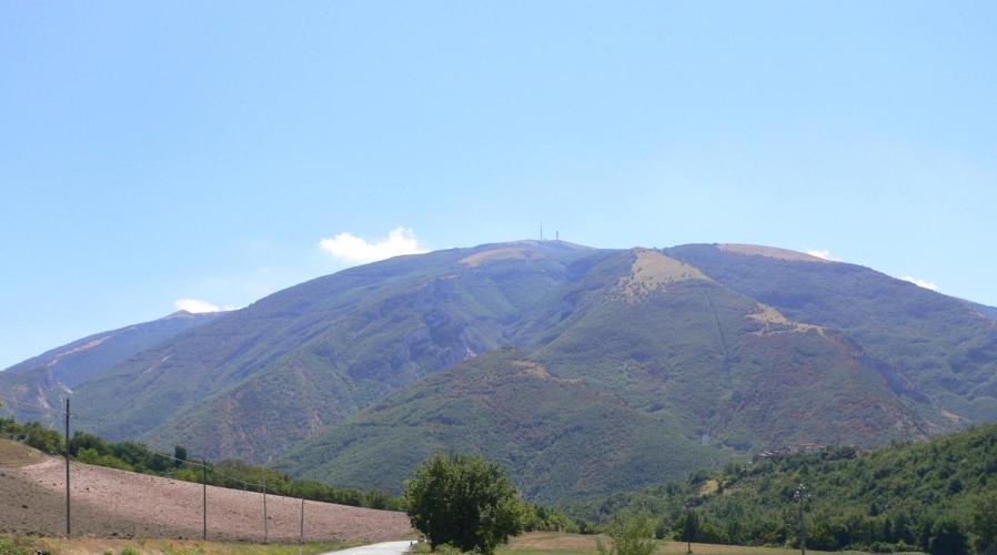
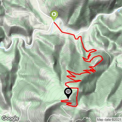
Monte Nerone North climbs 14.8 km (9.2 mi) out of the medieval village of Piobbico to the summit of Monte Nerone (1,502 m) in the Umbrian Apennines, gaining 1,197 m (3,925 ft) at an average grade of 7.9%. It's currently ranked #437 in PJAMM's global difficulty database, one of three distinct approaches up this mountain - the others start from Apecchio to the west and Pianello di Cagli to the south.
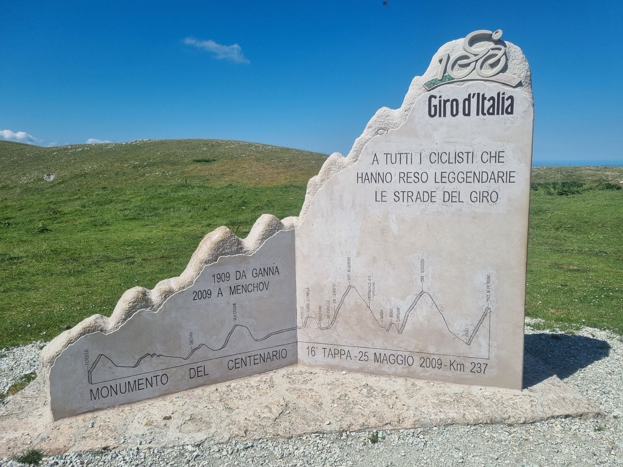
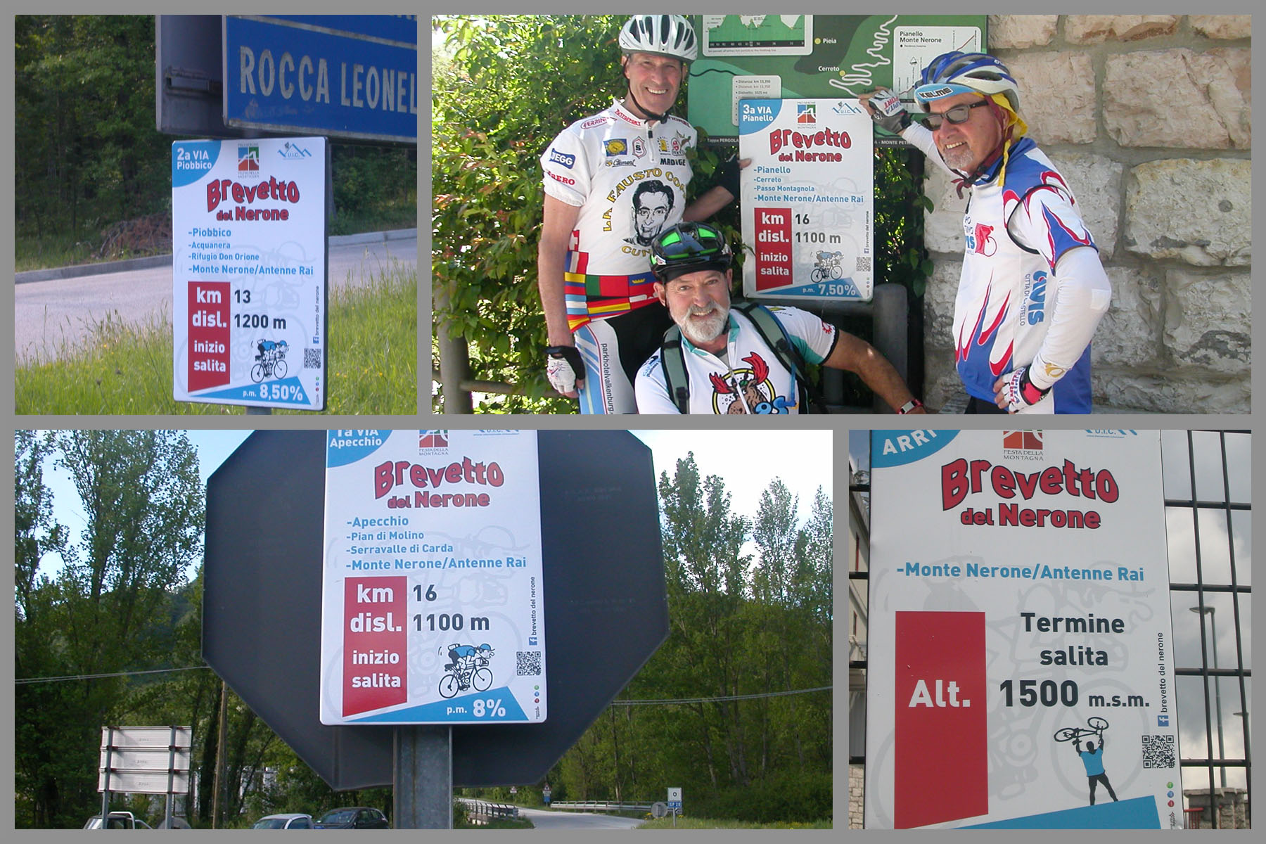
Monte Nerone has real racing pedigree: the mountain was climbed as a categorized ascent in the 2009 Giro d'Italia's centennial edition (stage 16, Pergola to Monte Petrano), via a different approach than this one. Locally, cycling all three sides of the mountain in one trip earns riders the "Brevetto del Nerone," an informal badge organized by Italian cyclo-scalatori clubs.
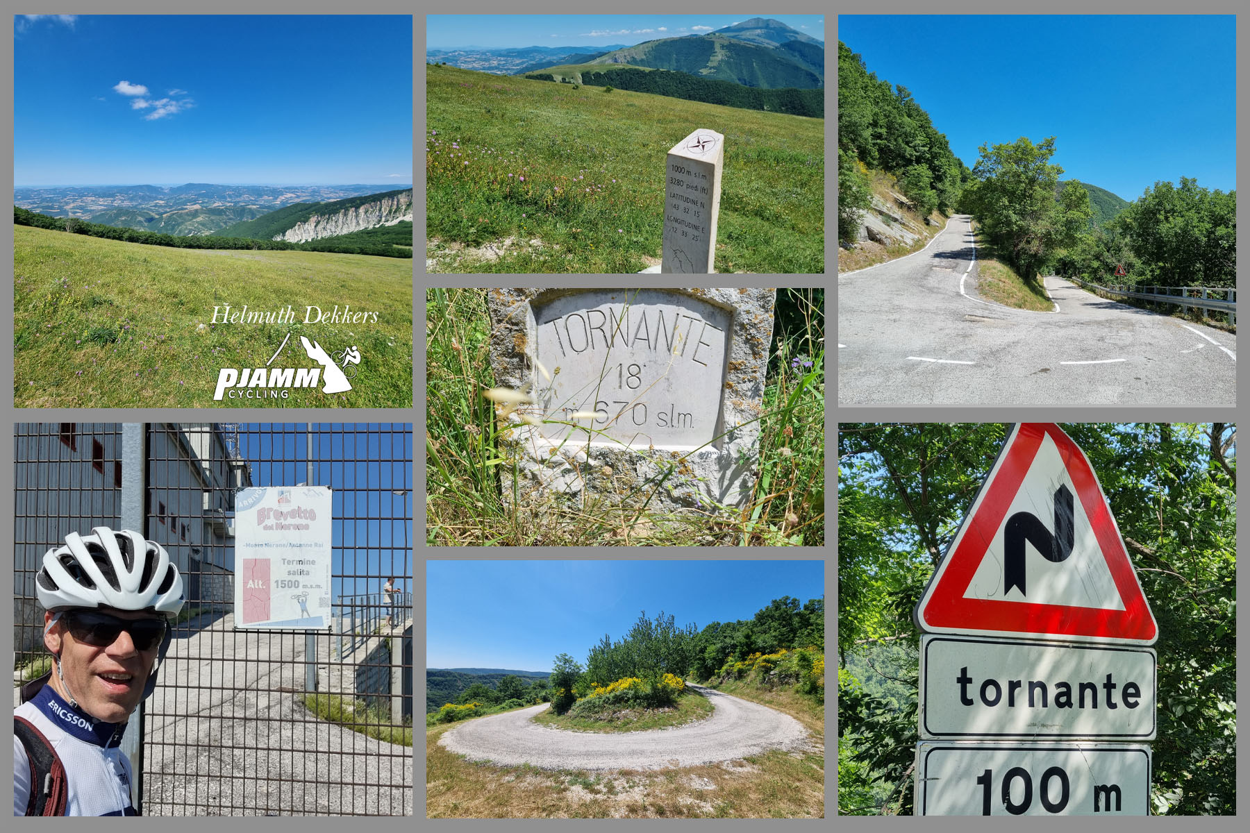
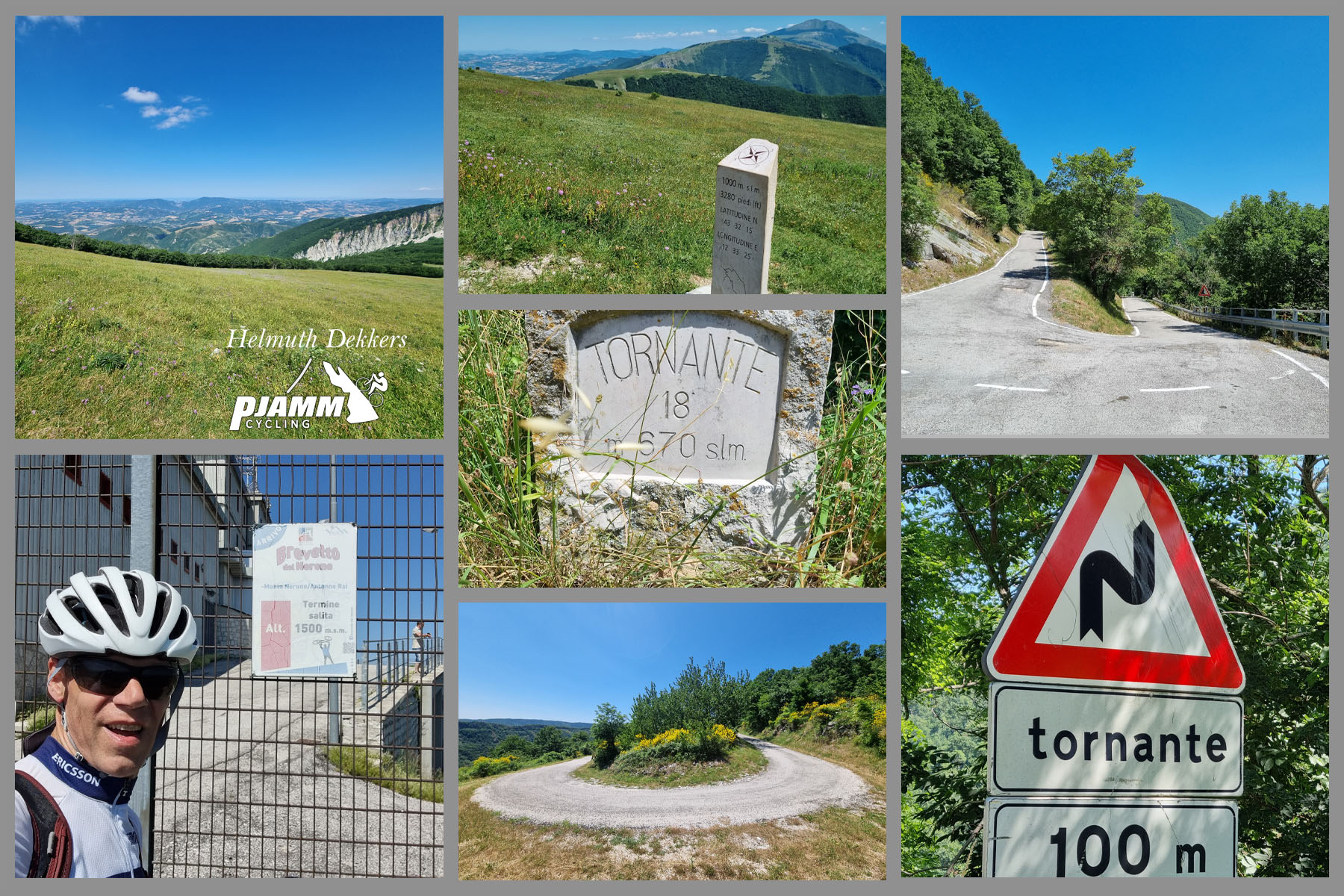
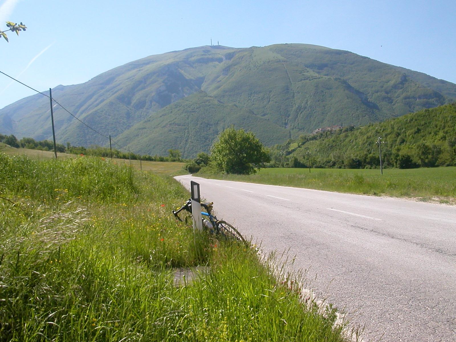
This Piobbico side is a good wide road for the first stretch up to Acquanera, then narrows and gets rougher above the Rifugio Corsini junction as it climbs into the woods - PJAMM ambassador Helmuth Dekkers, who has ridden Monte Nerone's other sides, notes the mountain's hairpins and views back over the Marche region and into Tuscany as some of the best in the area. There are no water fountains or rest stops along this route, so come prepared.
PLAN YOUR ROUTE
 We've partnered with Sherpa-Map.com to bring you the best route planning tool. With a PRO Membership you can use this climb as a reference when creating your route.
 Monte Nerone North gains 1,197 m (3,925 ft) over 14.8 km (9.2 mi) for an average grade of 7.9%. The climb is remarkably consistent for a mountain this size: both the steepest kilometer and the hardest mile average 10.8%, and even the full 5 km split holds at 10.0% - there's very little flat ground to recover on anywhere along this route. The final kilometers ease only slightly as the road threads past the Rifugio Corsini toward the antenna-topped summit at 1,502 m (4,927 ft).
Roadway: The road out of Piobbico is wide and in good condition for the first several kilometers up to the hamlet of Acquanera. Above Acquanera the pavement narrows and gets noticeably rougher in places, with patchy sections continuing up to the Rifugio Corsini junction, from which point the road climbs through forest to the summit. There's no fountain or formal rest stop anywhere on this side of the mountain, so plan your water accordingly.
Traffic: Traffic is very light throughout, particularly above Acquanera where the road is used mainly by hikers, cyclists, and the occasional local heading to the Rifugio Corsini. This is one of the quieter ways up Monte Nerone.
Parking: Free parking is available on the street in Piobbico near the historic center and Castello Brancaleoni, a natural place to start. There's additional informal parking near the Rifugio Corsini partway up if you'd rather split the climb into two efforts or start higher.
Fill up on water and food in Piobbico before you start - there are no fountains or shops on the mountain itself, and the road above Acquanera has no services of any kind. A compact crankset is worth having here: the grade rarely dips below 8% for any real stretch, so there's little chance to recover on the way up. The summit sits well over 1,500 m, so pack a light jacket for the descent even on a warm Marche summer day - temperatures at the antenna-topped top can be noticeably cooler and windier than in the valley.
Before heading out on any cycling adventure check out our Things to Bring on a Cycling Trip and use our interactive check list to ensure you don't forget anything.
Piobbico itself is worth a visit before or after the ride - the medieval Castello Brancaleoni, seat of the Brancaleoni family from the 13th century, houses a civic museum with a geo-paleontological collection and the family's own historic belongings.
If you're staying in the area for a few days, this is one of three distinct sides of Monte Nerone (the others start from Apecchio and Pianello di Cagli), and nearby Monte Catria offers three more approaches of its own - riders chasing the local "Brevetto del Nerone" challenge climb all three Nerone sides in one trip. See what else is nearby with our Routes in the Area tool before planning a multi-day stay in the Marche's Apennine foothills.
ROUTE MAP
MEMBER RATING
CURRENT WEATHER
PJAMM TRIPS ADVENTURE STARTER BUNDLES
Check out PJAMM Adventure's prepackaged (self-guided) cycling trips. They will help you plan, document and conquer your next adventure.
NEARBY CLIMBS (0) RADIAL PROXIMITY
FROM No Climbs Found
MEMBER REVIEWS & COMMENTS
Let us know what you thought of this climb. Signup for our FREE membership to write a review or post a comment.
Already have an account?
LOG IN HERE