Page Contributor(s): Ties Arts, Bussum, Netherlands; Anja Kalan, Škofja Loka, Slovenija; Sander van der Borch, Delft , Netherlands; Ivan Botica, Croatia.
INTRO
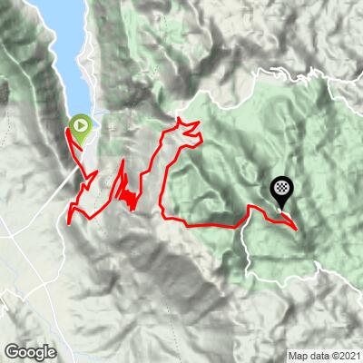
Mount Lovćen is Montenegro's national mountain - the "Black Mountain" widely held to have given Crna Gora, and Montenegro, its name - and this is the classic way up it: 33.5 km (20.8 mi) from near sea level in Kotor to the car park below the Njegoš Mausoleum on Jezerski vrh (1657 m / 5,436 ft), gaining 1758 m (5,768 ft) at a 4.6% average. That average is diluted by about 219 m (719 ft) of descending along the way; the climbing sections alone average 6.3%.
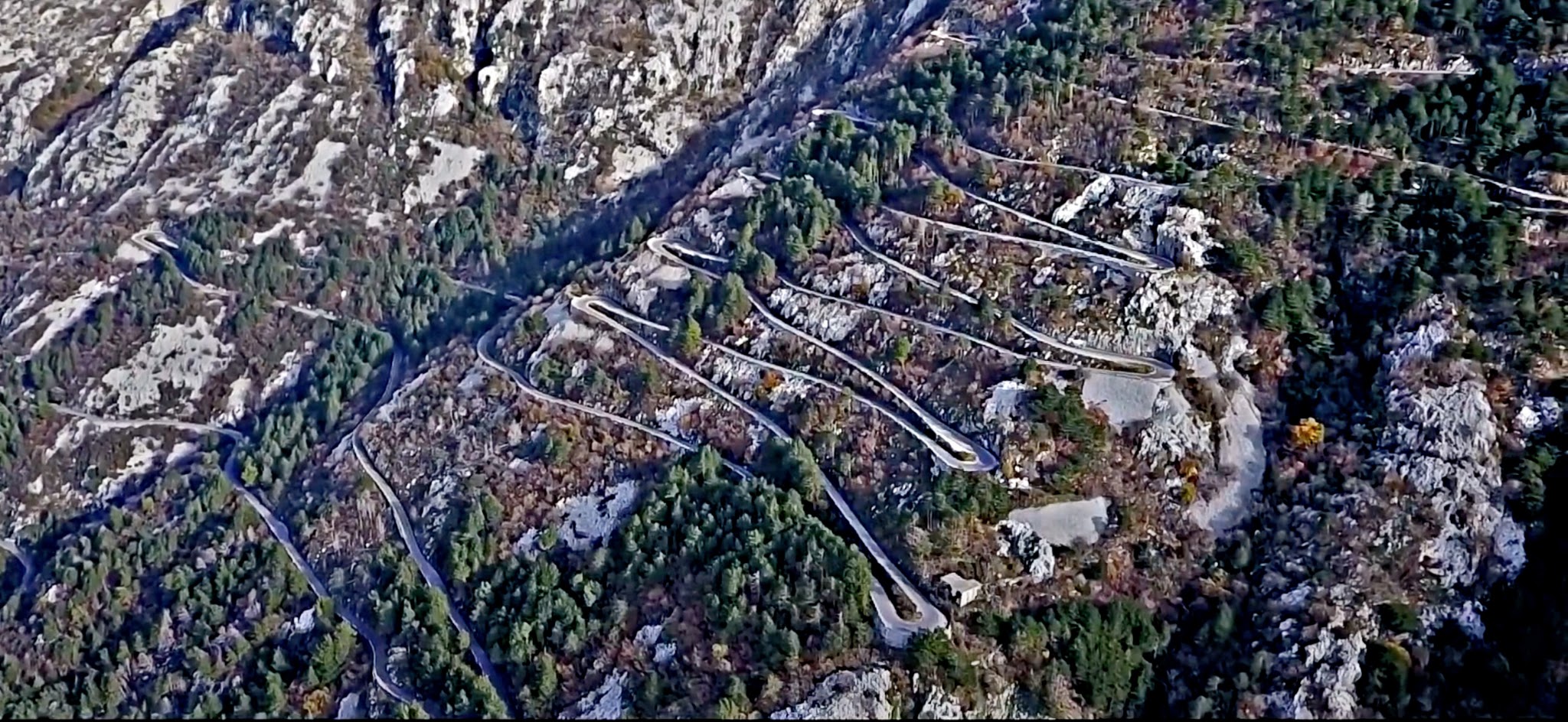
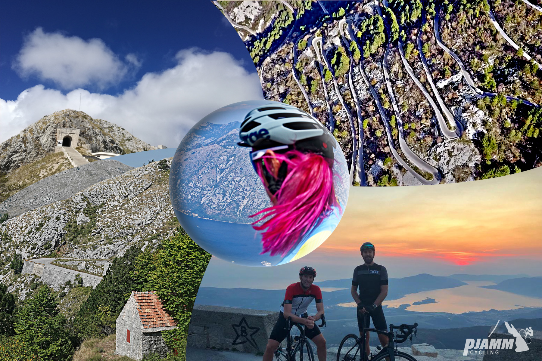
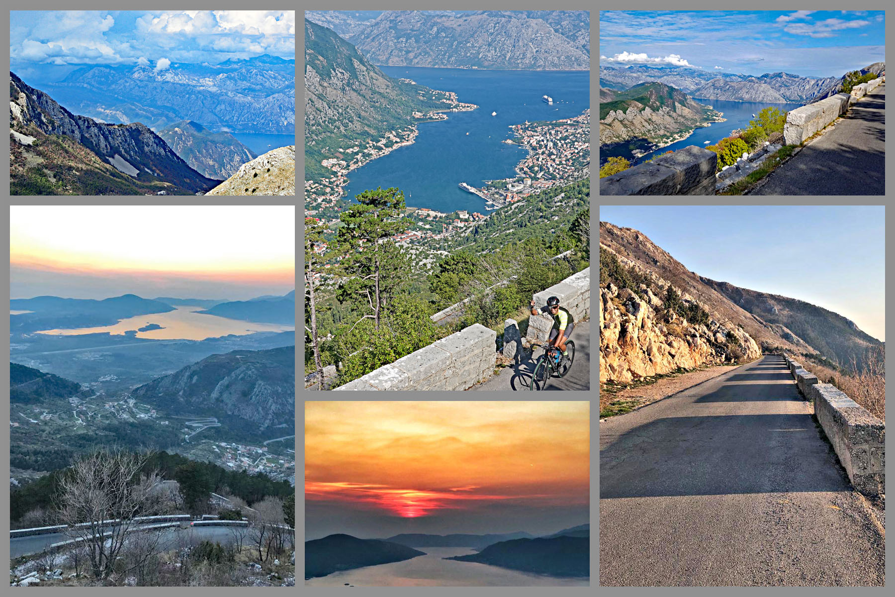
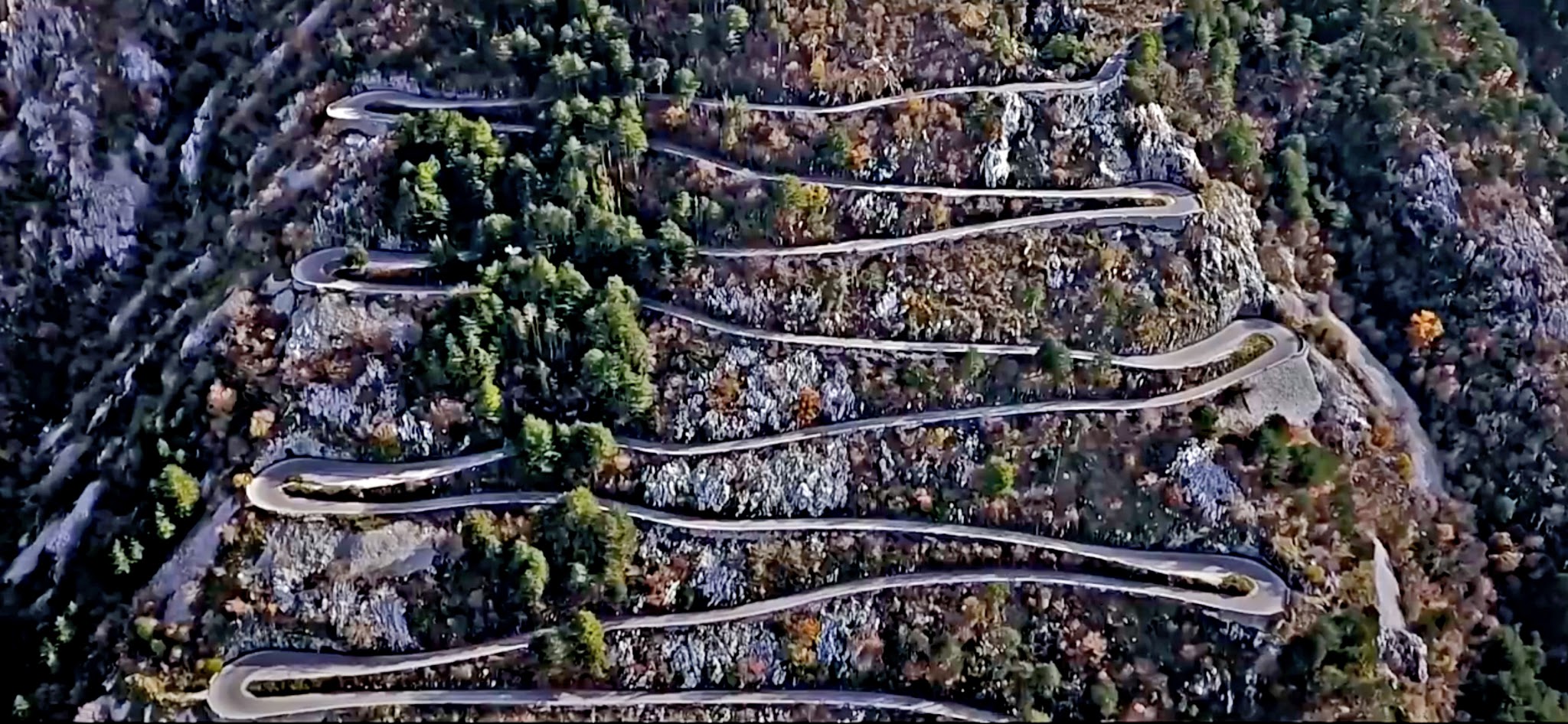
The heart of the ride is the Kotor Serpentine, the road completed in 1884 to link Kotor with Njeguši and Cetinje, Montenegro's old royal capital. Our route joins it at km 9.6 and climbs 17 hairpins in 7.9 km (4.9 mi), stacked up a limestone wall with the Bay of Kotor opening up below you at every turn - one of Europe's great hairpin climbs, and a surprisingly steady one. The real sting comes later: past Krstac the road turns south into Lovćen National Park, with the steepest kilometer (10.4%) right after the junction and the steepest ramp of all in the final kilometer to the mausoleum.
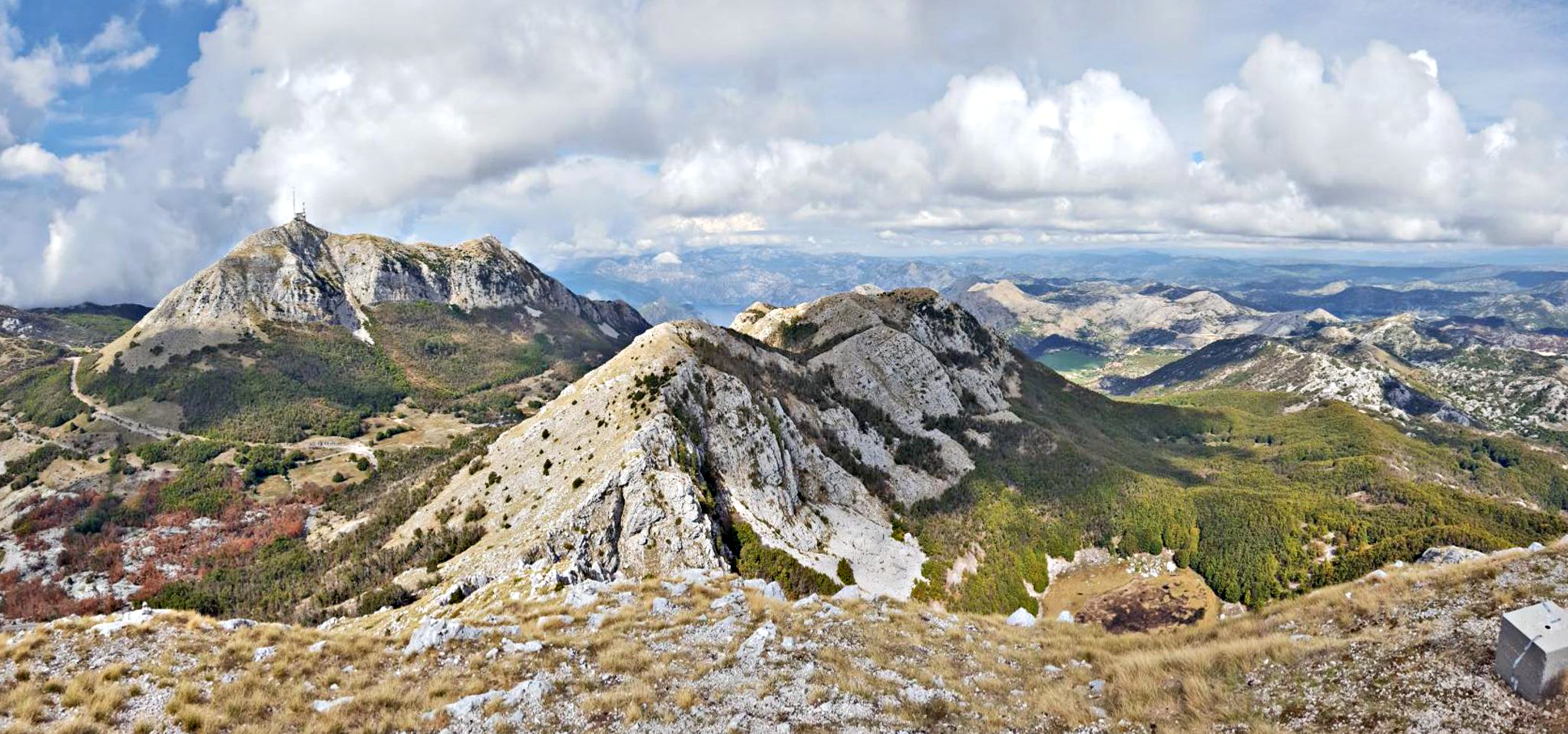
At the top, 461 steps lead through a tunnel to the mausoleum of Petar II Petrović-Njegoš, prince-bishop, poet and national hero, opened in 1974. In summer 2026 the serpentine runs on alternating time windows for traffic (see Roadway & Parking), so plan to climb in the morning. The summit can be 10°C cooler and far windier than the coast - check current conditions before you go with our Weather tool.
PLAN YOUR ROUTE
 We've partnered with Sherpa-Map.com to bring you the best route planning tool. With a PRO Membership you can use this climb as a reference when creating your route.
 Mount Lovćen is 33.5 km (20.8 mi) long with 1758 m (5,768 ft) of elevation gain at an average grade of 4.6%, including about 219 m (719 ft) of descending along the way - the climbing sections alone average 6.3%. About 16% of the route is descent, 37% is at 0-5%, 31% at 5-10%, 15% at 10-15%, and 1% at 15-20%.
The first 9.6 km (6 mi) out of Kotor climb steadily at 4-6% to the foot of the serpentine. The 17 hairpins from km 9.6 to 17.5 are mostly 4-5% per kilometer, with one harder kilometer near 6.7% - well-engineered and rhythmic rather than brutal. After the top of the serpentine the road dips for about 2 km (1.2 mi) past the Nevjesta Jadrana restaurant before Krstac.
From Krstac the character changes. The kilometer right after the junction is the steepest of the climb at 10.4%, and the road stays at 5-7% up to about km 29 at 1411 m (4,629 ft). A flat-to-slightly-downhill 2 km (1.2 mi) across the high ground follows, then a final 2.5 km (1.6 mi) at 7-9% with short pitches well into double digits, including the steepest ramp of the day near the finish.
Steepest sections: 0.5 km (0.3 mi) at 13.1%, 1 km (0.6 mi) at 10.4%, 1 mi (1.6 km) at 9.1%, 2 km (1.2 mi) at 8.7%, 5 km (3.1 mi) at 6.8%, and 10 km (6.2 mi) at 5.1%.
Roadway: Paved the entire way. Out of Kotor it's a two-lane road with a center line; the serpentine itself is narrow - about 5 m wide, with no center striping - and barriers on many outside bends are low or missing. Watch for rockfall after rain and for fog at altitude. From 25 May to 15 October 2026, the serpentine between Trojica and Krstac runs on alternating windows: vehicles heading down toward Kotor are barred 08:00-15:00, and vehicles heading up from Kotor are barred 14:00-19:00, with the final road from Međuvršje to the mausoleum also restricted. Climb before 14:00, and descend the same way only after 15:00 (or return via Cetinje) - check AMSCG's current notices before you go, as the rules are set season by season.
Traffic: Busy in summer on the serpentine - rental cars, motorbikes and tour vans - and the narrow road makes it feel busier still. From 15 June to 15 October 2026, buses, minibuses and motorhomes are banned heading down toward Kotor and on the mausoleum road. Early morning, before the cruise ship excursions, is quietest. Past Krstac traffic lightens, though the mausoleum road sees steady visitor traffic on summer days.
Parking: Kotor is a busy cruise port and its lots fill early in summer. There's some parking on the right side of the road at the start of the climb (Map; Street View), or use the paid parking lot in Kotor and ride to the start (Route Map; Street View).
Provisions: Fill bottles and stock up in Kotor - there are no shops on the serpentine itself. At the top of the hairpins, Restaurant Nevjesta Jadrana at km 20.3 (Google Map + Reviews) serves traditional Montenegrin food, including Njeguši prosciutto, with a huge view over the bay, and Konoba Krstac at km 21.4 (Google Map + Reviews) is a well-liked grill house just before the turn into the national park. There's also a small restaurant by the mausoleum car park. Carry some cash for the national park entry fee and the separate mausoleum ticket.
Gear: A compact crankset is plenty for the serpentine, but you'll want a low gear for the 10%+ kilometer after Krstac and the 13% ramp near the finish. Expect it to be around 10°C cooler at the top than in Kotor, and often windy on the summit ridge, so pack a windproof layer for the descent even in August. Front and rear lights are worth running on the hairpins, where fog can settle quickly and drivers are concentrating on the bends.
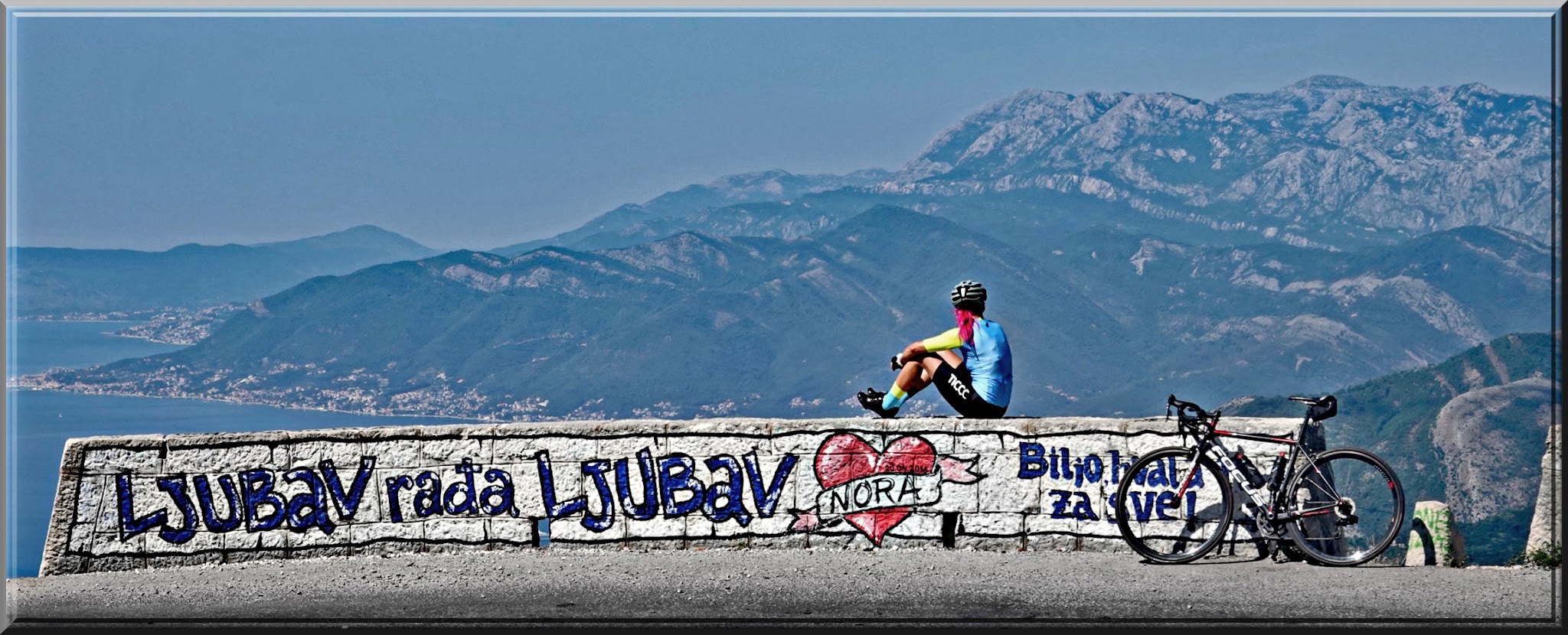
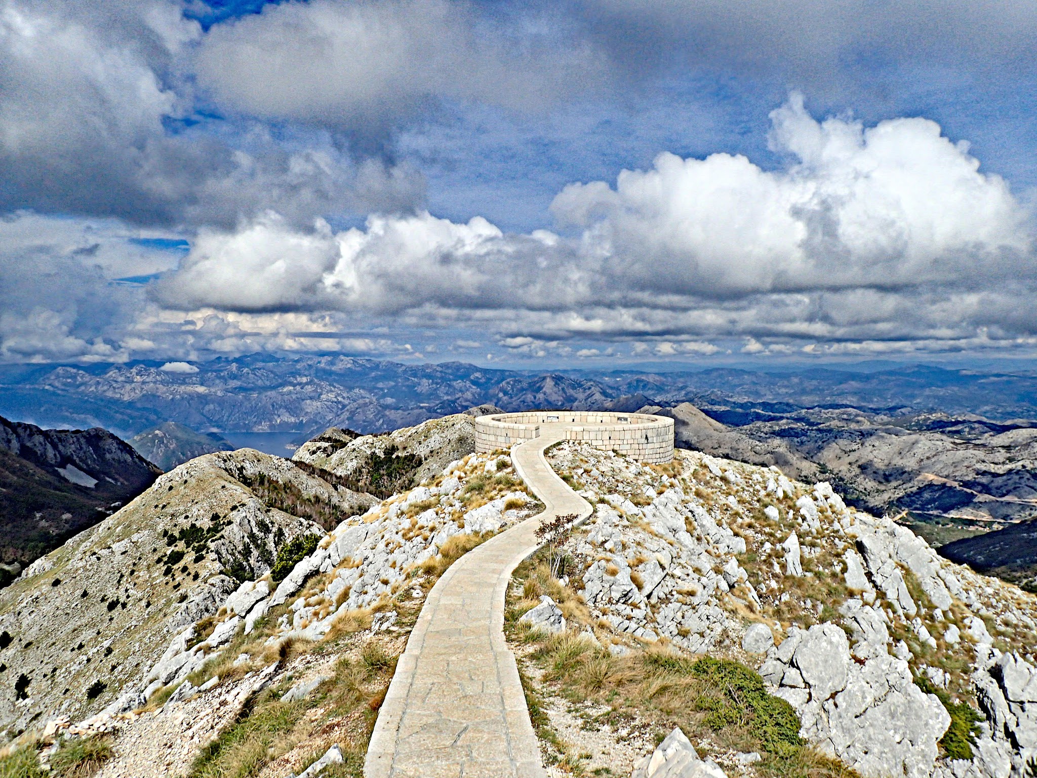
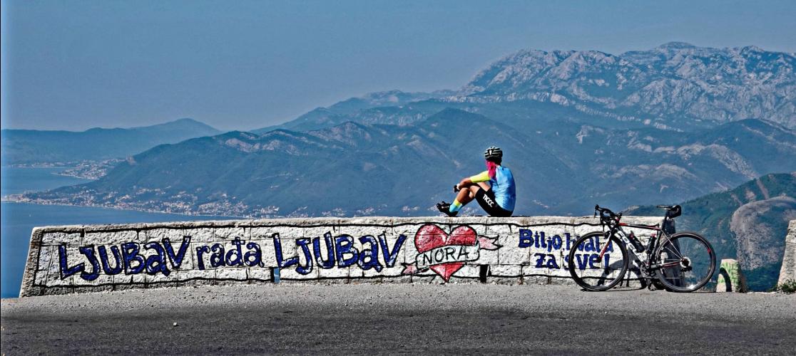
Leave time at the top for the Njegoš Mausoleum. From the car park, 461 steps lead through a tunnel to the tomb, guarded by two granite caryatids by Ivan Meštrović, and behind it a short path runs out to a circular stone viewing platform where, on a clear day, you look out over much of Montenegro - Google Map + Reviews. On the way up, there are 3 viewpoints along the hairpins from km 15.6 to 18, and we counted at least 5 more on our way to the mountaintop.
Right by Nevjesta Jadrana, the Ladder of Kotor - the old caravan trail with some 70 switchbacks that was the only route up before the road - meets the serpentine; it makes a great hike down to Kotor on a rest day. Just past Krstac, a short detour leads to the village of Njeguši, birthplace of Njegoš and the Petrović dynasty and home of Montenegro's famous smoked pršut and cheese. There's also a zip line near km 21 (Google Map + Reviews), and non-riding companions can take the Kotor-Lovćen cable car, an 11-minute ride from near Kotor up to the Kuk station at 1348 m.
If you're basing yourself on the Bay of Kotor for a few days, pair this with our Orjen climb from Herceg Novi - Lovćen's wilder, higher neighbor across the bay.
ROUTE MAP