Climb Summary
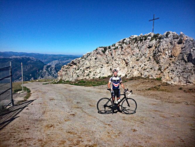
![Cycling Spain - Alto de Gamoniteiro Cycling Spain - Alto de Gamoniteiro - mountainside, road and radio tower]()
Radio tower is the top of the climb
Gamoniteiro East
This is a top 50 World Climb located in northern Spain that PJAMM will climb and document in June, 2018. We have confirmed that this climb is paved and can be done on a road bike. It appears that this climb has been included in the Vuelta a Espana at least once: 2016 “Today is the turn of the sixteenth stage, the second in Asturias and, again, mountain. Short stage of just 118 kilometers between Avilés and Alto del Gamoniteiro , unprecedented summit in the Vuelta a España.” http://sextoanillo.com/index.php/2016/12/26/sexta-vuelta-16a/
Steepest Gradients by Distance
![grades.JPG]()
Steepest kilometer starts at km 13.5 (13%)
DangerousRoad.com says of this road:
“Alto del Gamoniteiro is a high mountain pass at an elevation of 1,782 m above the sea level, located in the Autonomous Community of the Principality of Asturias, Spain. The road to reach the summit is extremely narrow, with a terrible asphalt, potholes and extremely steep. The ramps really hit hard, getting up to 15% at the end of three, ascending in difficulty, 3km from home, a flattening out for no more than 100m is then followed by a spike up to 13%. The last 1.5 km is also the toughest, averaging no less than 12%, and with a maximum of just 17% that tells you that it's incessant suffering. It's actually kind of strange that the maximum of such a brutal climb is just 17%.
There are 2 routes to reach the summit. Starting from Pola de Lena, the ascent is 15.9 km long. Over this distance, the elevation gain is 1450 height meters. The average percentage is 9.1 %. And starting from San Martin, the ascent is 17 km long. Over this distance, the elevation gain is 1290 height meters. The average percentage is 7.6 %.” DangerousRoads.org
Gamoniteiro West
![Grades.JPG]()
Steepest kilometer begins just below the top (12.6%)

 We've partnered with Sherpa-Map.com to bring you the best route planning tool. With a PRO Membership you can use this climb as a reference when creating your route.

