64.4
PDI
5.9 mi
DISTANCE
4,996 ft
GAINED
16.3 %
AVG. GRADE
FULL CLIMB STATS
Page Contributor(s): Ties Arts, Bussum, Netherlands
INTRO
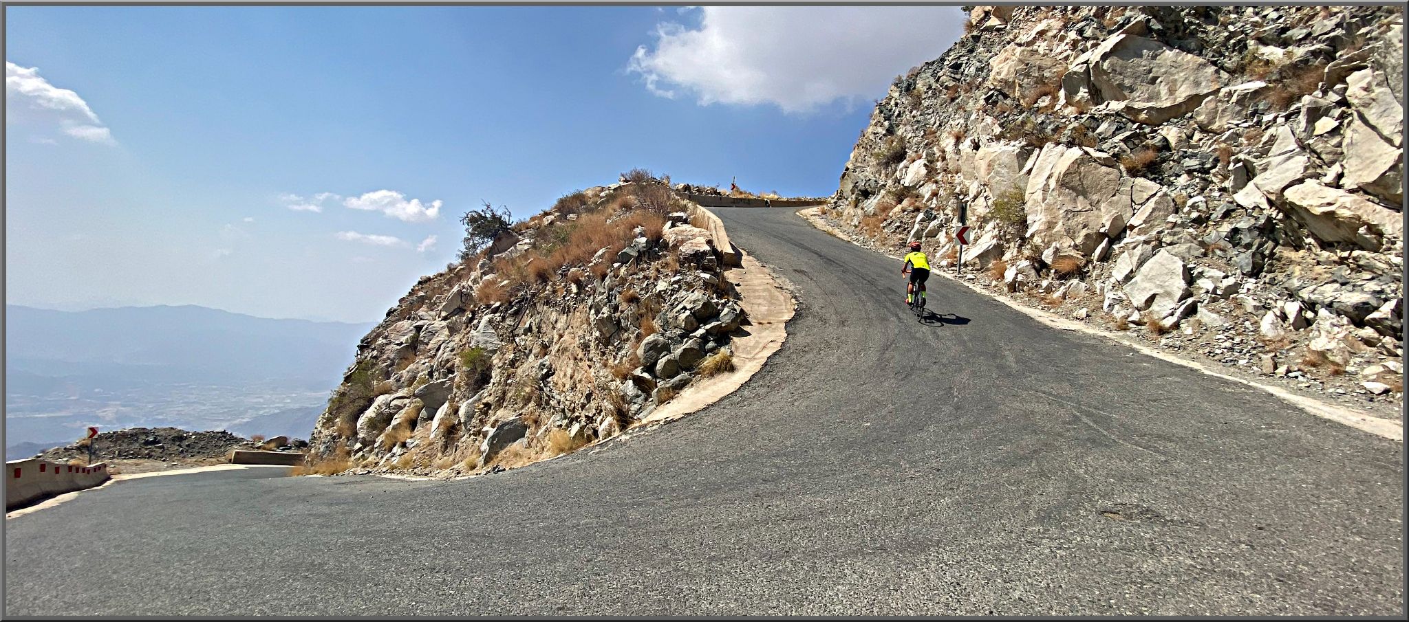
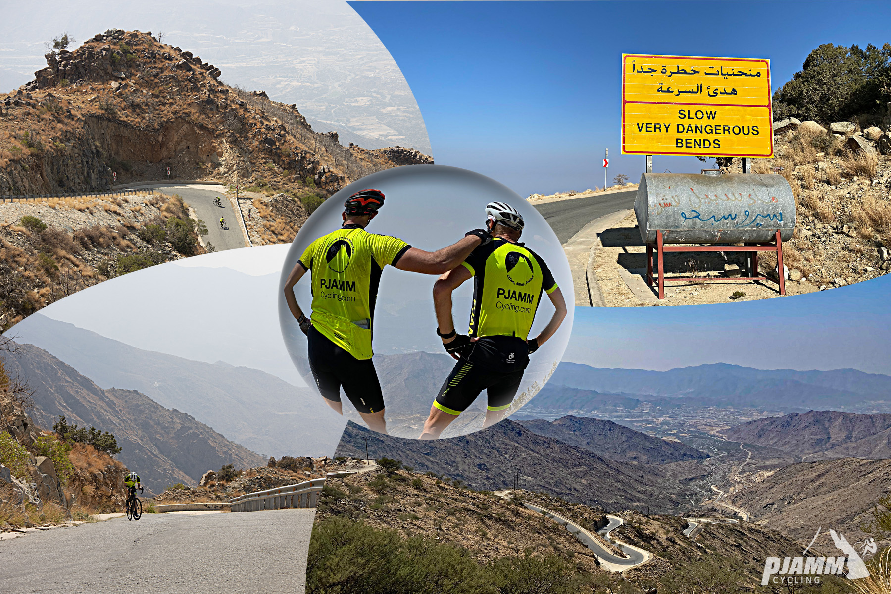
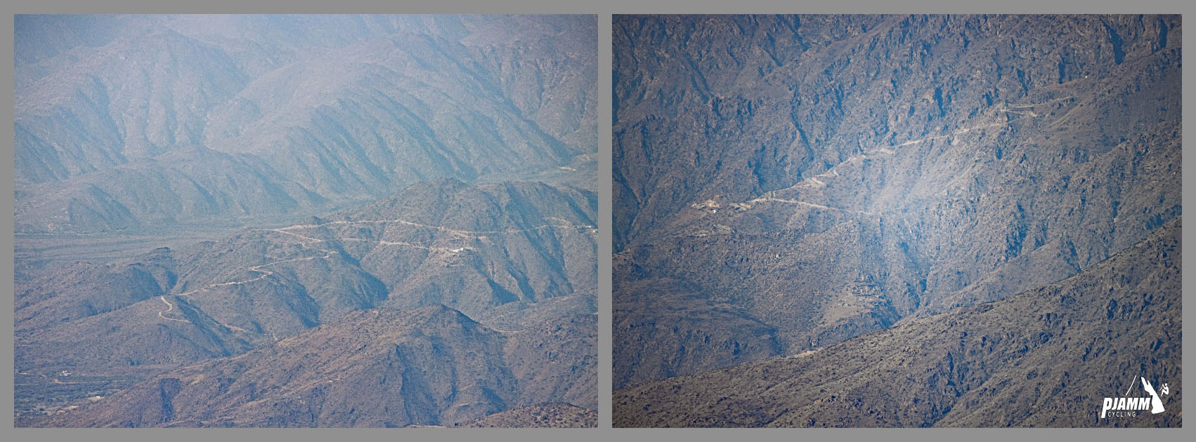
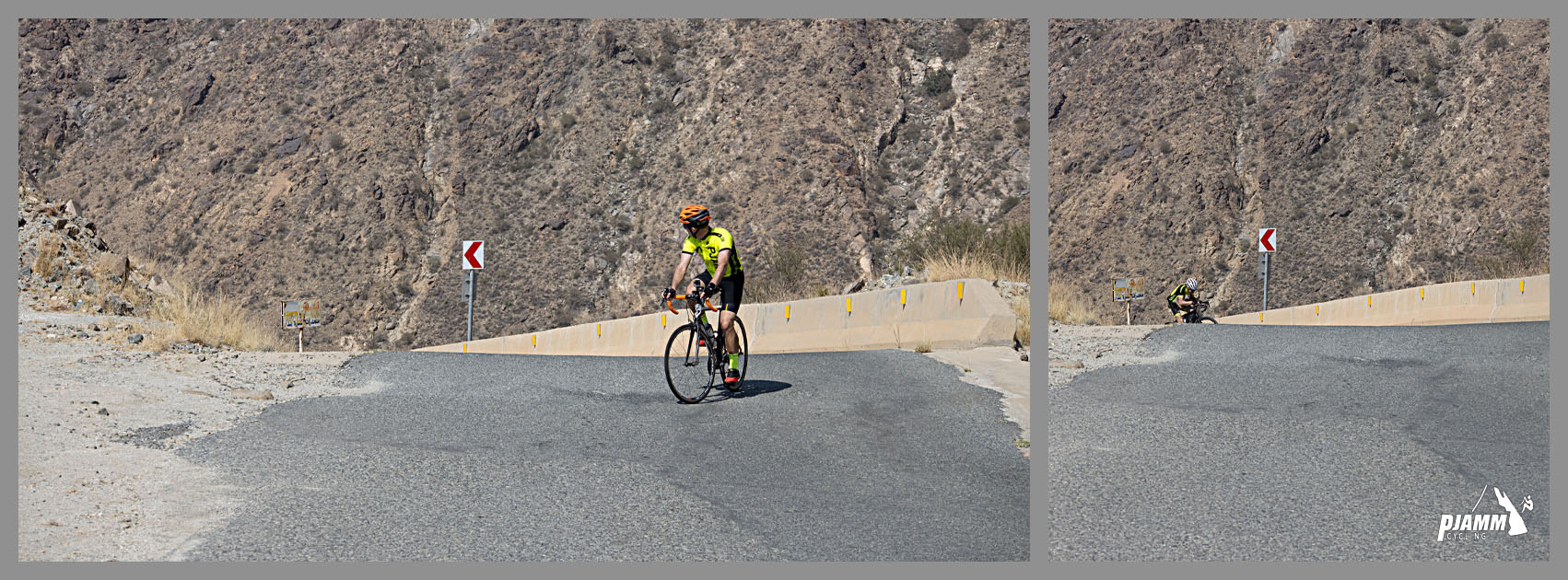
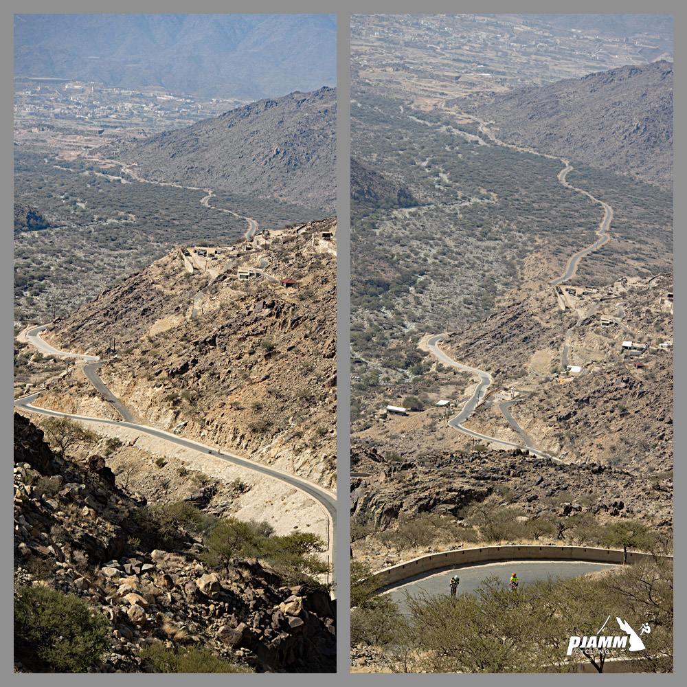
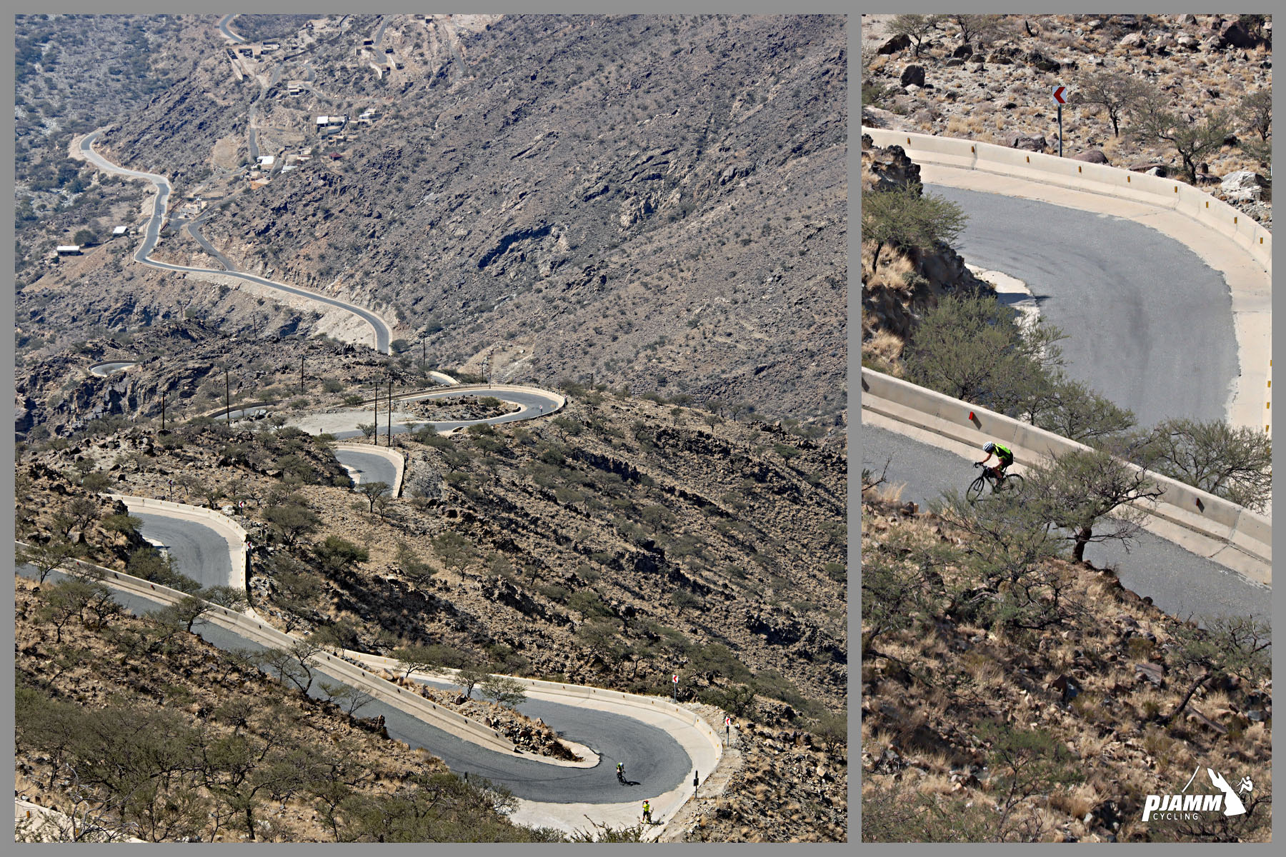
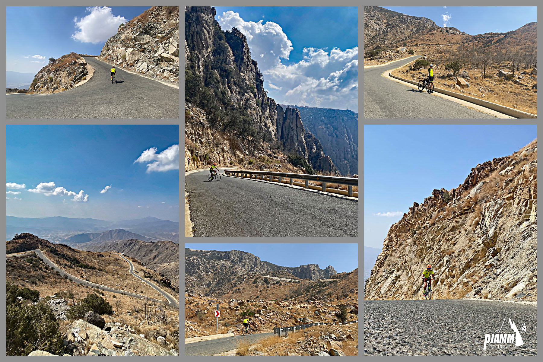
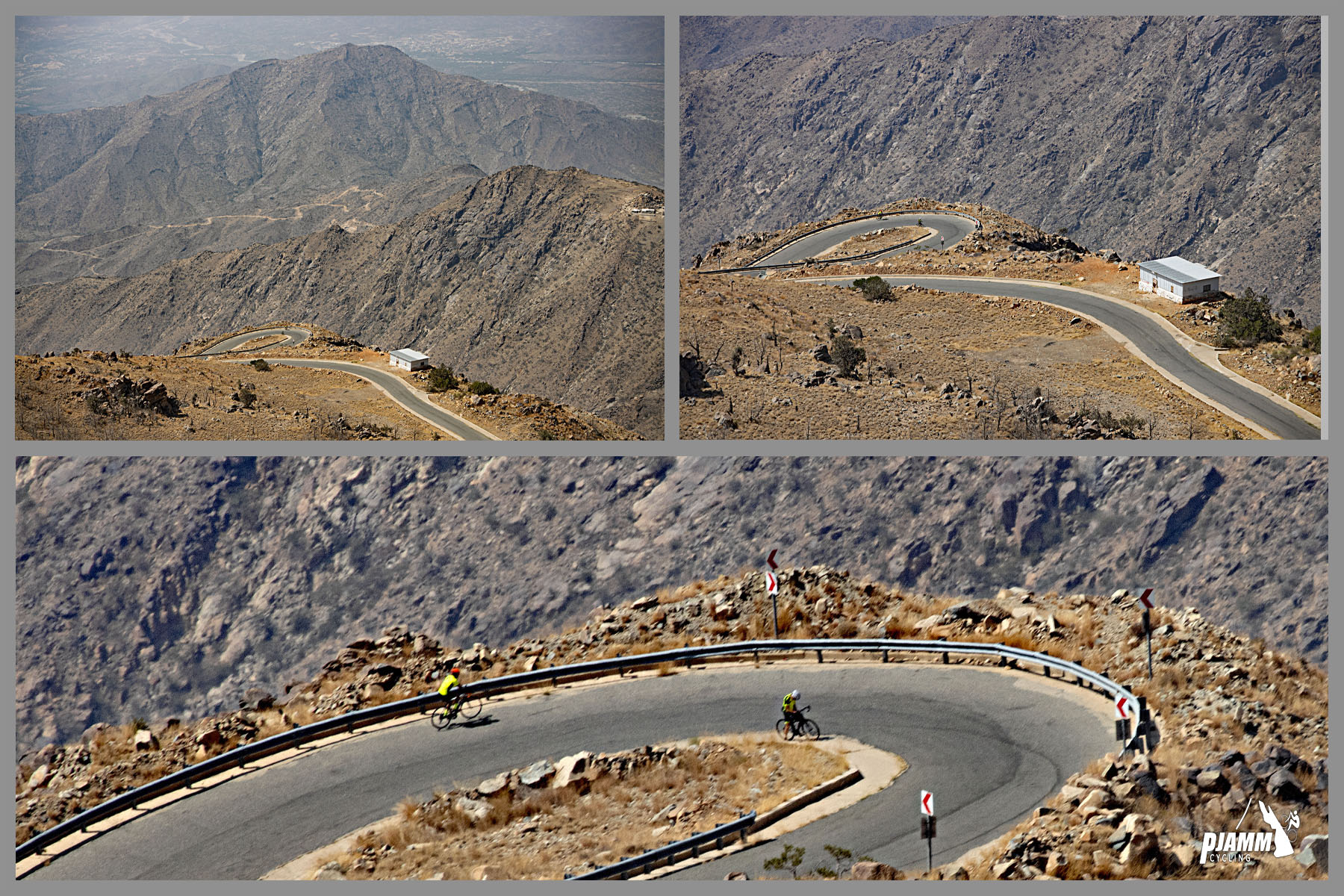
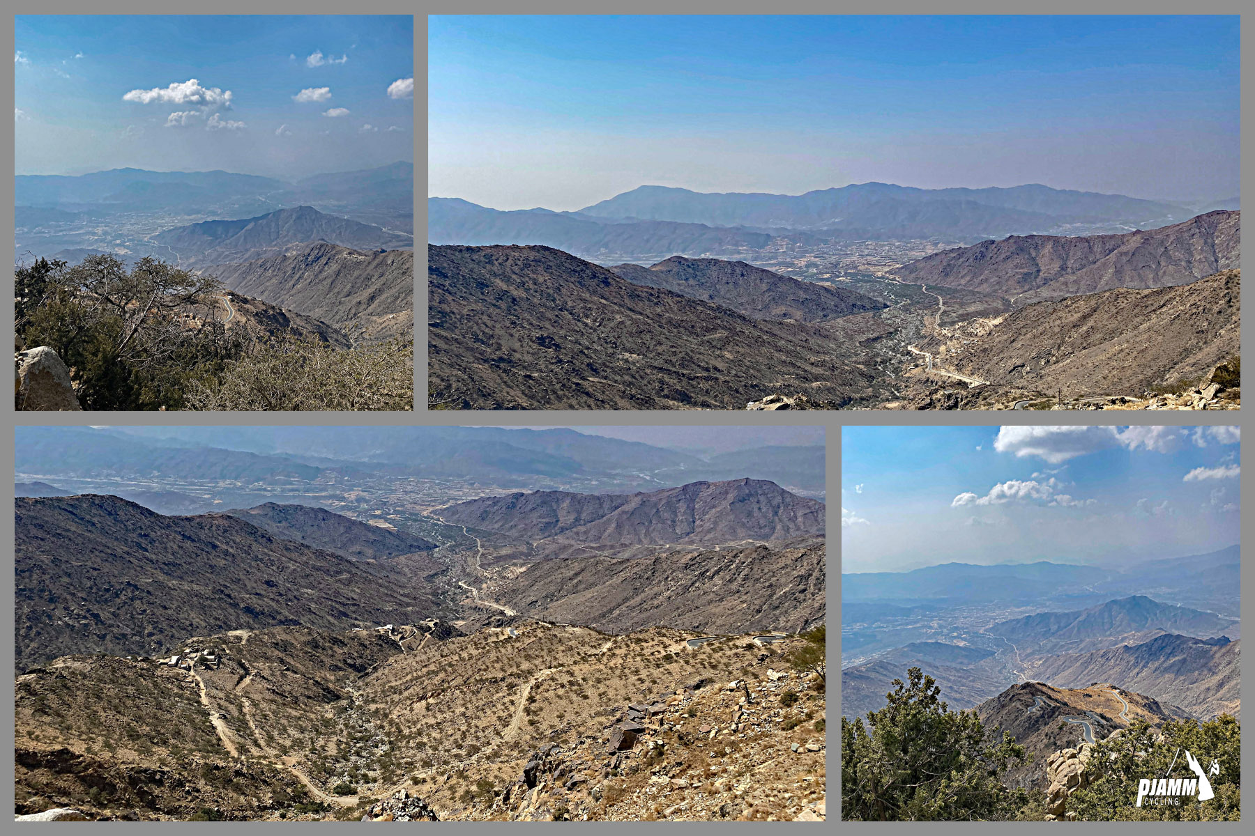
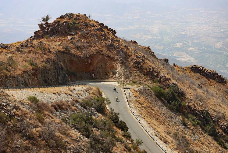
Baniamr Aquabah Pass is one of the steepest paved bike climbs anywhere in the world - 5.91 miles averaging 16.25%, gaining 4,996 feet from 2,724 to 7,721 feet in Saudi Arabia's Asir Mountains. It's currently #15 hardest in the world by our PDI difficulty index, with a Fiets score of 25.74 - firmly in the same tier as the hardest climbs documented anywhere.
What makes it brutal is the total absence of a break: the steepest 100 yards hit 29.9%, the steepest quarter-mile averages 28.7%, and the steepest full mile still averages 21.4%. There is no flat or easy section to recover on anywhere along the route. The climb follows part of a genuinely impressive piece of modern engineering - the Abha-Mahayil Asir mountain highway includes 11 tunnels and 32 bridges across its full length, carved directly into the escarpment.
The Asir highlands sit around 7,000+ feet, which keeps this range noticeably cooler and greener than most of Saudi Arabia, but it also means fog, rain, and even lightning can move in quickly, especially from August through September. November through March brings the most stable, cycling-friendly conditions.
PLAN YOUR ROUTE
 We've partnered with Sherpa-Map.com to bring you the best route planning tool. With a PRO Membership you can use this climb as a reference when creating your route.
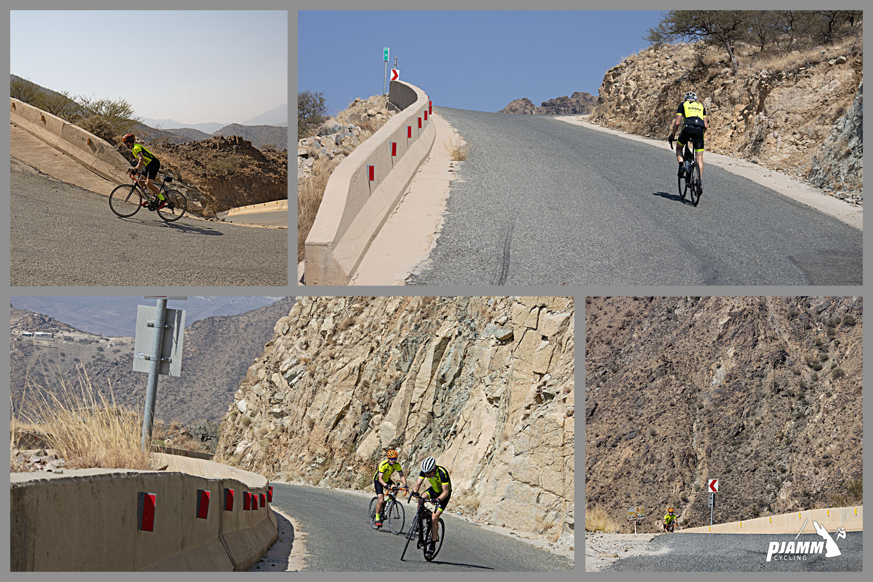
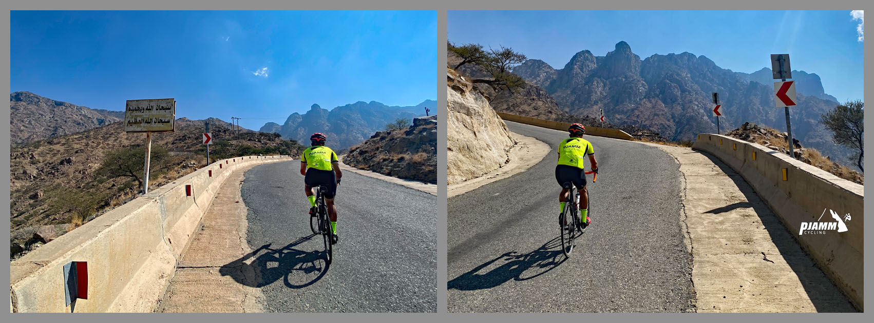
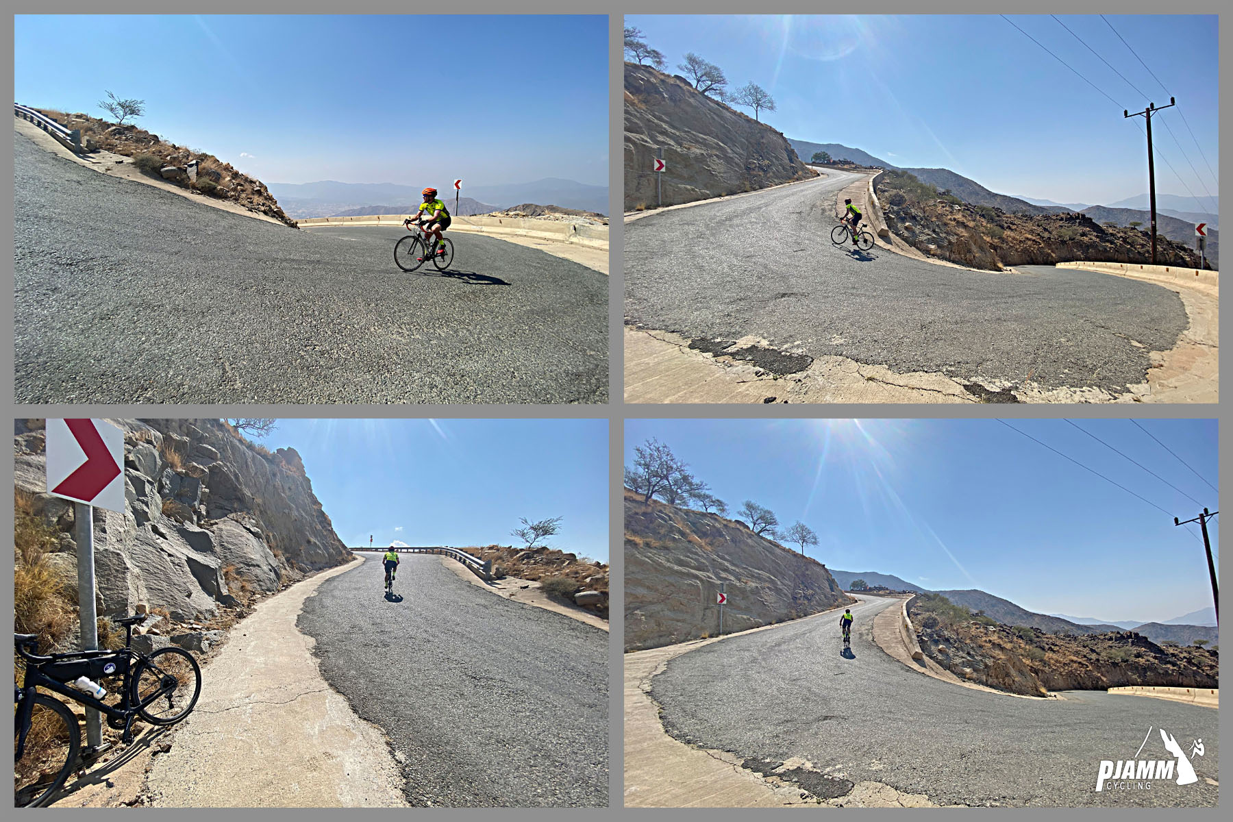
 This climb never lets up. Over the full 5.91 miles the average is 16.25%, but the steepest stretches are genuinely extreme: 29.87% for the steepest 100 yards, 28.7% for the steepest quarter-mile, 26.05% for the steepest half-mile, 24.57% for the steepest kilometer, and 21.39% for the steepest full mile. Even the steepest 5km (3.1 miles) still averages 20.52%. There is no meaningful recovery section anywhere on the route - every segment of this climb is well into double-digit gradient territory.
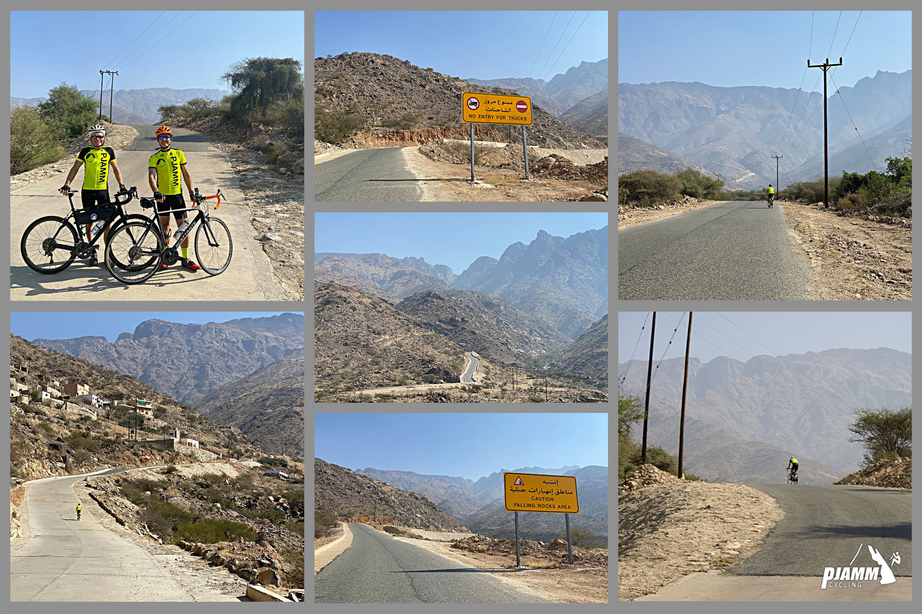
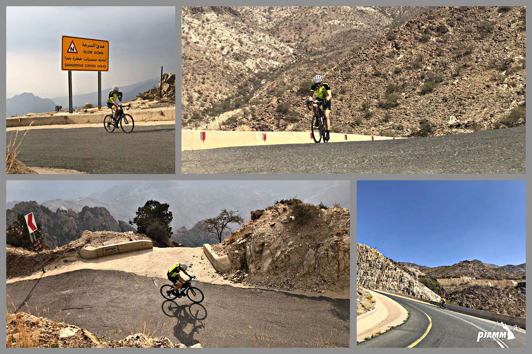
Roadway: This climb follows part of the modern mountain highway connecting Abha City with Mahayil Aseer Governorate - a genuinely impressive piece of engineering that runs 11 tunnels and 32 bridges across its full 14.2km length through the escarpment. Pavement quality is excellent for how remote and mountainous the setting is. It narrows in spots, and several tunnels have limited lighting, so a good front and rear light is worth carrying even in daylight.
Traffic: Traffic is light away from Abha itself - this is a rural mountain highway, not a commuter route - but trucks and buses do use it as a connector between the escarpment towns, so ride defensively through the tunnels where there's little room to spare.
Parking: There's no formal trailhead or parking area on this climb. Riders typically stage from Abha, the region's main city, or find a safe pull-off along the shoulder near the base of the climb in Shumran/Al Majaridah.
Do not attempt this climb without at least a 34-tooth chainring and a 40-42t cassette - the sustained double-digit gradient and the 29.9% ramps near the base make anything less a real risk of walking. Bring lights for the highway's tunnels, even if you're riding in daylight - several are dimly lit inside.
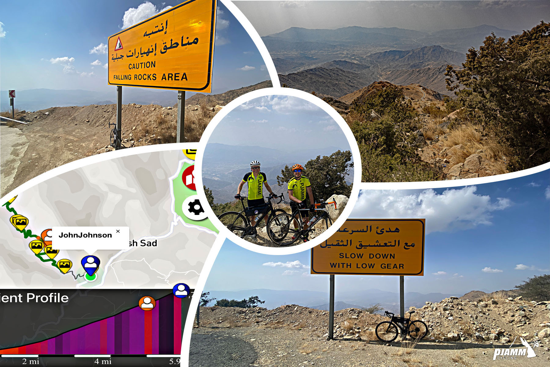
The Asir highlands sit above 7,000 feet and are noticeably cooler and wetter than the rest of Saudi Arabia, so pack a light layer, and check the forecast for fog or rain, especially if you're riding in the August-September wet season.
Before heading out on any cycling adventure check out our Things to Bring on a Cycling Trip and use our interactive check list to ensure you don't forget anything.
Abha, the regional capital, is the natural base for this climb - it has an airport, hotels, and restaurants, and sits in the same cool, green highlands as the climb itself. The town of Mahayil sits at the opposite end of the mountain highway this climb follows. The best cycling weather in the Asir Mountains runs November through March, when conditions are stable and mild; August and September bring the region's rains and the highest chance of fog or lightning on the exposed sections of road.
This is one of several brutally steep climbs we documented in the Asir Mountains - if you're building a trip around this one, use our Sherpa Map route builder to string together a multi-climb route through the range starting from here.
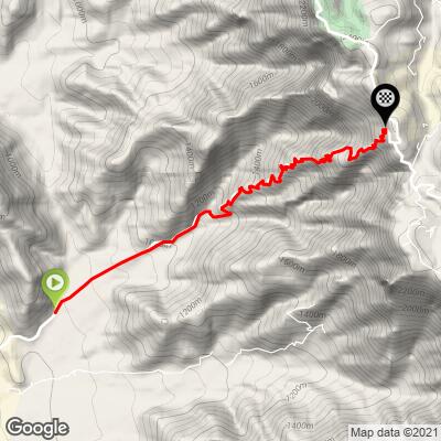
ROUTE MAP
MEMBER RATING
CURRENT WEATHER
PJAMM TRIPS ADVENTURE STARTER BUNDLES
Check out PJAMM Adventure's prepackaged (self-guided) cycling trips. They will help you plan, document and conquer your next adventure.
NEARBY CLIMBS (0) RADIAL PROXIMITY
FROM No Climbs Found
MEMBER REVIEWS & COMMENTS
Let us know what you thought of this climb. Signup for our FREE membership to write a review or post a comment.
Already have an account?
LOG IN HERE