15.5
PDI
11.9 mi
DISTANCE
3,146 ft
GAINED
4 %
AVG. GRADE
FULL CLIMB STATS
Page Contributor(s): Anja Kalan, Škofja Loka, Slovenija Ties Arts, Bussum, Netherlands
INTRO
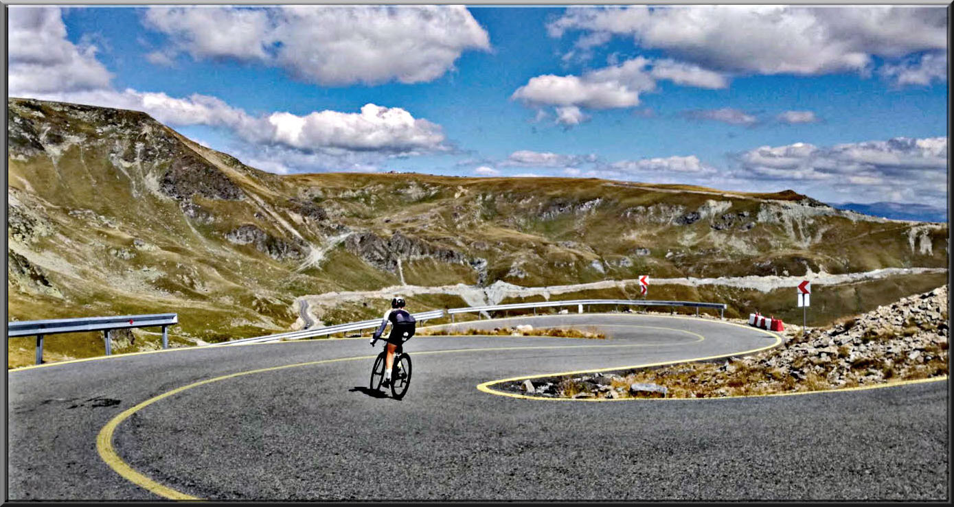
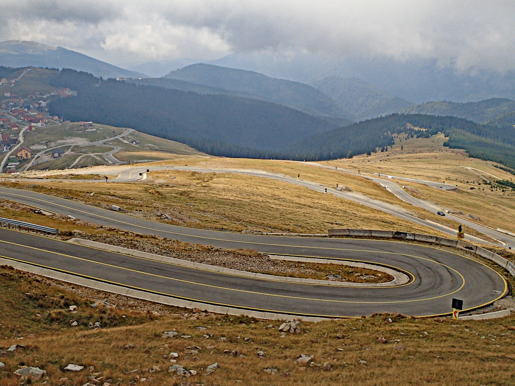
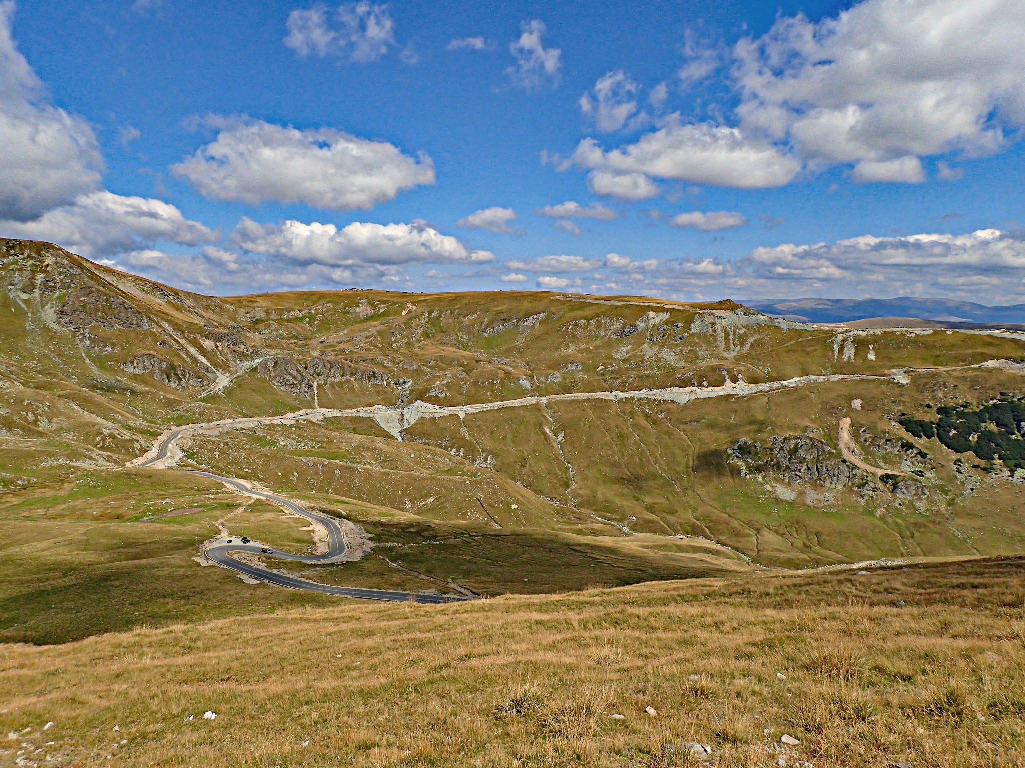
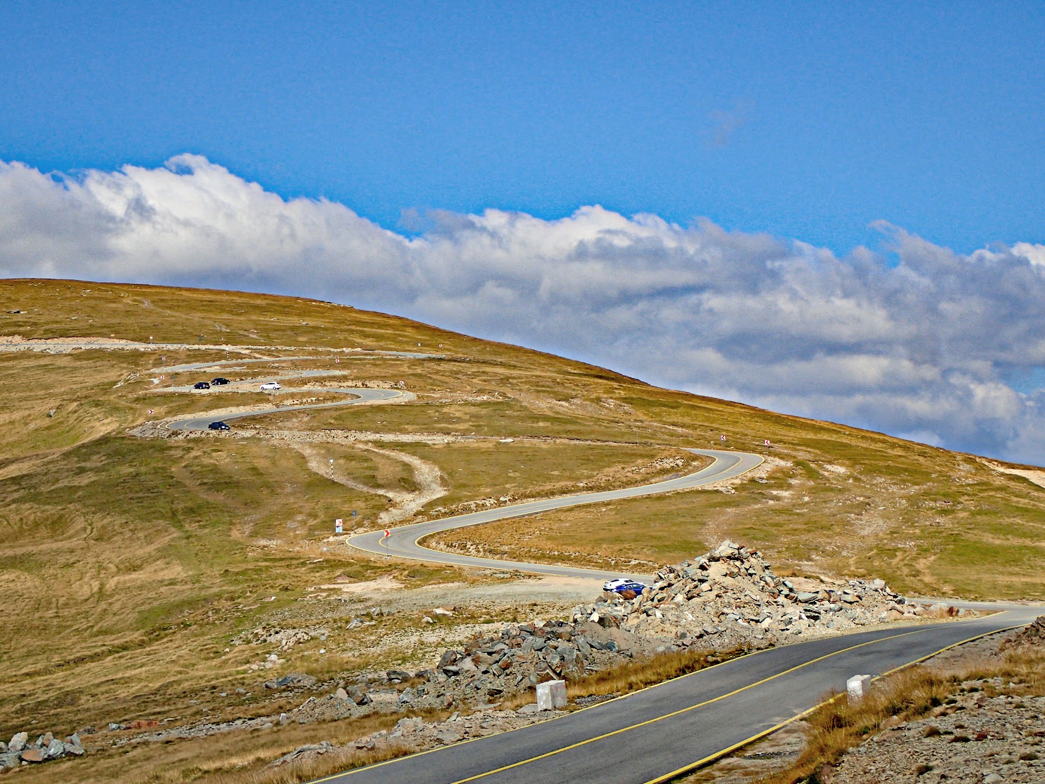
The north side of the Transalpina takes its time. From the crossroads at Obârșia Lotrului the road follows the young Lotru river through spruce forest for the first 4 km at barely 2%, and you could be forgiven for wondering where the mountain went. Then it turns uphill, the trees thin out, and well before the top you're out of the forest on open grassland with the Parâng ridges all around and the road laid out in hairpins above you.
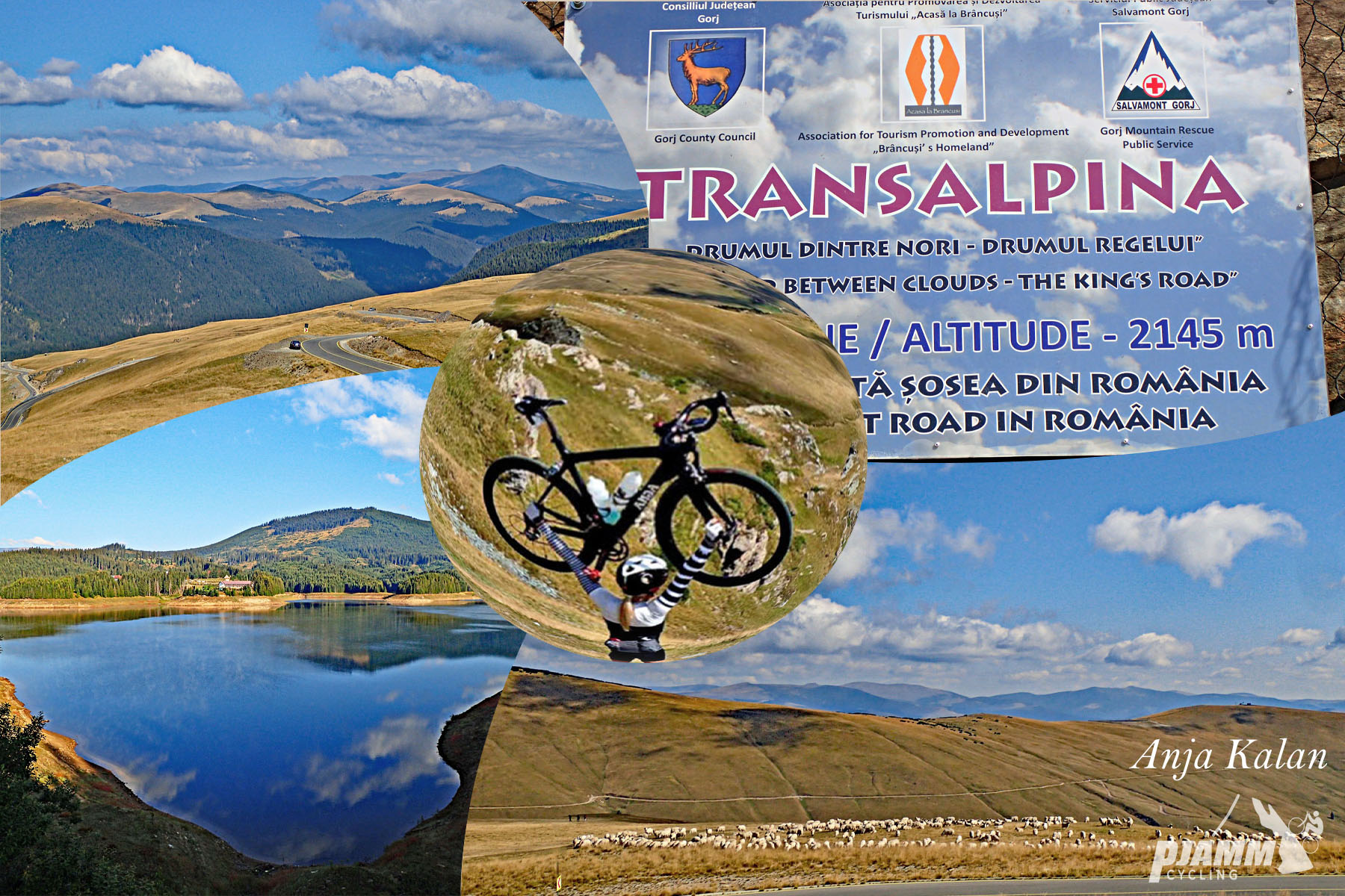
In all it's 19.1 km (11.9 mi) to Pasul Urdele with 959 m (3,146 ft) of climbing. The overall average of 4% is misleadingly low because of the flat start and a 165 m (541 ft) drop in the middle: the climbing kilometers run at 6-9%, and the tenth kilometer kicks to 11.4%, with a 500 m stretch at 13.2%. A first top at about 2100 m comes around kilometer 13; from there you plunge into a wide grassy basin, then climb out of it on the last set of switchbacks to the pass, the highest point of Romania's highest paved road.
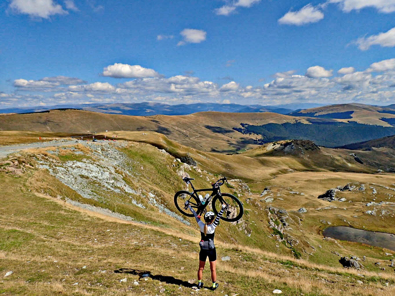
Ties Arts, who wrote up the Transalpina for us, reckons north-to-south is the way to ride it, and the views over the final kilometers make the case. Transalpina South covers the harder Novaci side and the history of the King's Road - this is the side for riders who'd rather spend their effort above 1900 m.
PLAN YOUR ROUTE
 We've partnered with Sherpa-Map.com to bring you the best route planning tool. With a PRO Membership you can use this climb as a reference when creating your route.
Transalpina North averages 4% over 19.1 km (11.9 mi), from 1361 m (4,466 ft) at Obârșia Lotrului to 2125 m (6,972 ft) at Pasul Urdele, with 959 m (3,146 ft) of total climbing.
Kilometer by kilometer: 1.8%, 0.3%, 1.9% and 4.6% along the Lotru valley; then 8.7%, 5.5%, 6.1%, 6.4%, 6.2%, 11.4%, 4.5%, 9.5% and 6.6% up to the first summit at about 2100 m near kilometer 13. The next three kilometers lose about 165 m (541 ft) at 5-6% downhill into the basin, and the final climb runs 3.7%, 7.6% and 7.9% to the pass.
Steepest sections: 500 m (0.3 mi) at 13.2%, 1 km (0.6 mi) at 10.8%, 2 km (1.2 mi) at 8.8%, 5 km (3.1 mi) at 7.7% and 10 km (6.2 mi) at 7.1%.
Roadway: The DN67C is fully paved, with good asphalt, yellow edge lines and concrete barriers or guardrails on the exposed bends. The high section between Obârșia Lotrului and Rânca is closed every winter and also shuts at short notice for snow, fog, storms or rockfall. In 2026 it opened on 29 May with a 30 km/h limit, a ban on vehicles over 3.5 t and an overnight closure (9 p.m.-7 a.m. from July), and it has been closed for snow since 31 October 2026, so plan on it staying shut until CNAIR reopens it in late spring 2027.
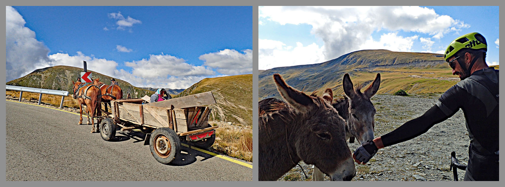
Traffic: Quiet early in the morning and on weekdays. Summer weekends bring a steady stream of cars and motorbikes, so start early. Stray dogs are common along the road, and bears do turn up along the Transalpina - feeding them is illegal and heavily fined, and stopping near one is a bad idea.
Parking: Obârșia Lotrului is just a crossroads with a few guesthouses and souvenir stalls, and riders park around the junction itself. There's no town here, so arrive with what you need.
Gear: A compact with a 30 or 32 at the back is enough for the 11-13% ramp around kilometer 10. More important is clothing: the upper half is above the trees and fully exposed, the finish is above 2100 m, and afternoon storms, fog and cold wind are normal even in July. Carry a rain jacket and warm layers for the descent - the way back to Obârșia is long, chilly and includes a 165 m climb out of the basin.
Provisions: Stock up before you reach Obârșia Lotrului - the guesthouses at the crossroads are the only services, and there's nothing on the climb itself. Rânca, about 9 km over the pass on the south side, is the nearest place with restaurants and shops.
Before heading out on any cycling adventure check out our Things to Bring on a Cycling Trip and use our interactive check list to ensure you don't forget anything.
Obârșia Lotrului sits at the crossroads of two mountain roads, which makes it a good place to stay for more than one ride. East on the DN7A, the Lotru valley drops past the Vidra reservoir toward Voineasa, while west it crosses to Petroșani; north, the DN67C continues over the Tărtărău pass and past Lake Oașa toward Sebeș, the start of the full Transalpina. A few guesthouses and chalets around the junction are the only beds, so book ahead in summer.
Over the top, Rânca is the nearest real resort, and our Transalpina South page covers it, Novaci and the road's King's Road history. Riding both sides in a day - up from Obârșia, down to Novaci and back - makes a very big day, and the south side is the harder climb.
ROUTE MAP

MEMBER RATING
CURRENT WEATHER
PJAMM TRIPS ADVENTURE STARTER BUNDLES
Check out PJAMM Adventure's prepackaged (self-guided) cycling trips. They will help you plan, document and conquer your next adventure.
NEARBY CLIMBS (0) RADIAL PROXIMITY
FROM No Climbs Found
MEMBER REVIEWS & COMMENTS
Let us know what you thought of this climb. Signup for our FREE membership to write a review or post a comment.
Already have an account?
LOG IN HERE
Paprikarider
Ride this beast a few days ago, Here my Review https://youtu.be/o5zuojGxGZY