44.3
PDI
23.4 mi
DISTANCE
6,662 ft
GAINED
5.2 %
AVG. GRADE
FULL CLIMB STATS
Page Contributor(s): JoeseTies Arts, Bussum, Netherlands; Jose Juk, Bahía Blanca, Buenos Aires Province, Argentina
INTRO
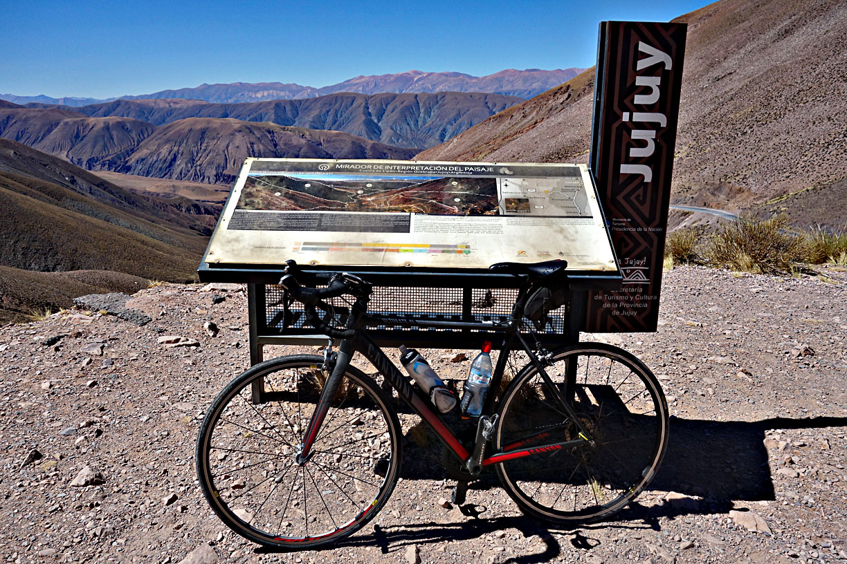
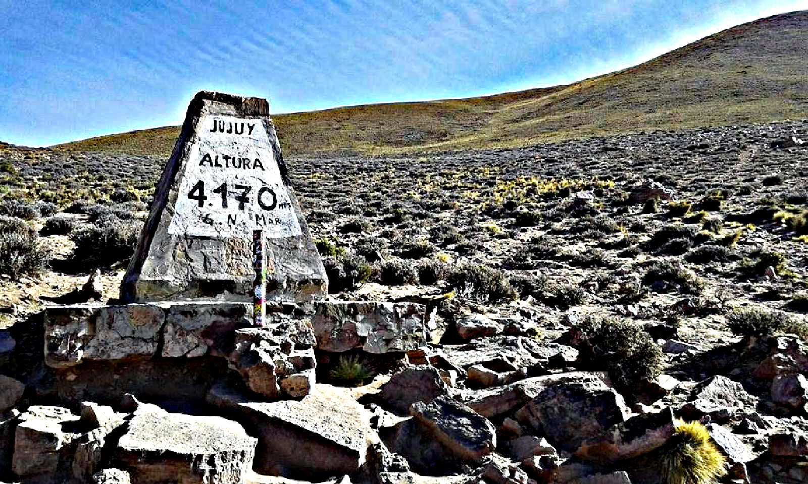
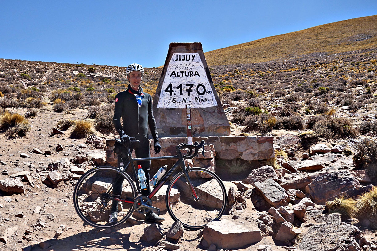
Cuesta de Lipán is the paved climb out of Purmamarca, in Argentina's Jujuy Province, that carries National Route 52 up and over the eastern Andes into the high Puna. From Purmamarca (7,270 ft) it's 23.4 miles and 6,662 ft of climbing to the pass at Abra de Potrerillos, roughly 13,730 ft (4,185 m) - one of the highest paved road crossings in the Andes, and the gateway to the Salinas Grandes salt flats just beyond the summit.
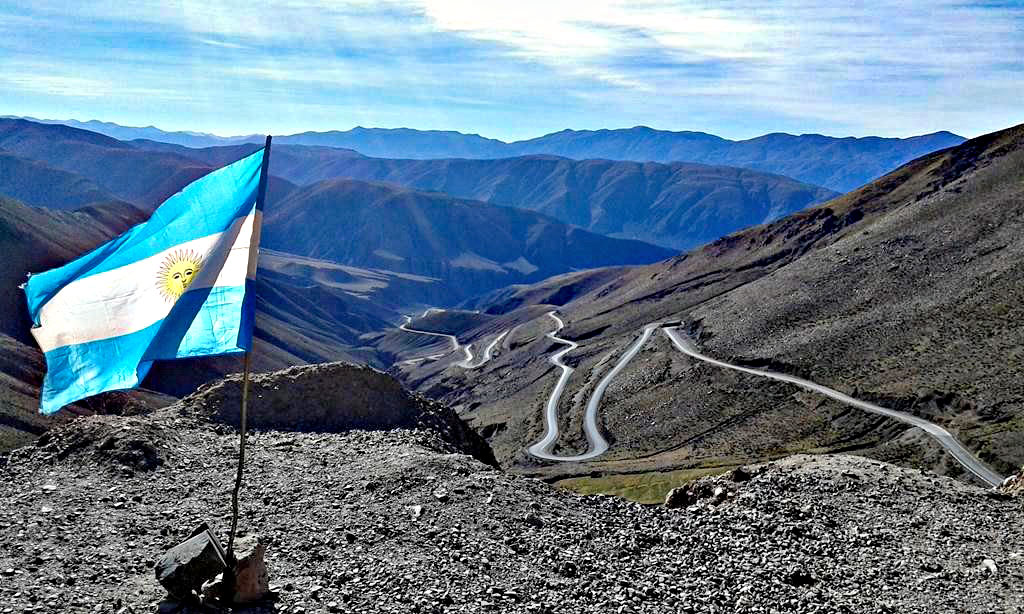
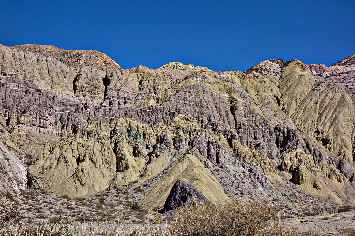
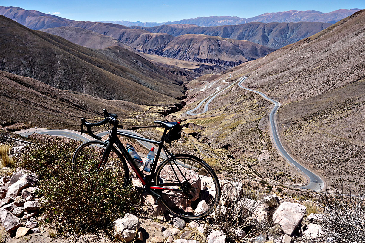
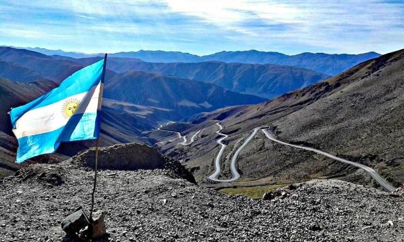
The road climbs gently along the dry riverbed of the Quebrada de Purmamarca before steepening into a long series of switchbacks - six tight hairpins around the halfway point are the visual signature of the climb, with the surrounding mountains shifting color and shape every few kilometers. It's a genuinely spectacular ride, and one of northern Argentina's most-photographed roads for exactly that reason.
RN 52 was built as a gravel road in the early 1970s and paved by 2000, though sections nearer Susques have degraded since.
It's a real highway, not a quiet backroad - trucks and tour vehicles use it daily en route to Salinas Grandes, Susques, and the Paso de Jama border crossing into Chile. It's also a genuinely hazardous road: Jujuy police have specifically flagged the stretch between km 12 and km 30 for its steep descents and tight curves, and a fatal accident occurred on this exact stretch in August 2026 when a vehicle went off the road near km 30. Ride predictably, stop only at the designated miradores, and take the descent as seriously as the climb.
PLAN YOUR ROUTE
 We've partnered with Sherpa-Map.com to bring you the best route planning tool. With a PRO Membership you can use this climb as a reference when creating your route.
 The grade builds steadily rather than hitting hard right away - the first mile averages 7.8%, easing slightly as the climb settles into its 5.2% overall average through the switchbacks. The steepest 100 yards on the route touches nearly 14%, generally within the hairpin sections partway up. See our interactive Profile Tool for the full gradient breakdown by segment.
Roadway: Paved essentially the entire way - RN 52 was upgraded from gravel to asphalt around 2000 - though pavement quality degrades somewhat in stretches closer to Susques, well beyond the pass itself. Expect a genuine mountain highway: tight switchbacks, steep grades, and real exposure along cliffside sections, especially in the km 12-30 stretch.
Traffic: This is a working highway to Salinas Grandes, Susques, and the Paso de Jama border crossing to Chile, so expect a steady mix of tour vans, private vehicles, and trucks - not a quiet backroad. Jujuy police have specifically warned drivers to use engine braking on descents, keep speeds low, and stop only at designated miradores (viewpoints) rather than pulling over on blind curves; a fatal accident occurred on this exact stretch in August 2026 when a vehicle went off the road near km 30, so ride as predictably and visibly as possible, especially on the descent.
Parking: Riders typically start from Purmamarca itself, a small tourist town with plentiful parking, lodging, and services at the base of the climb.
Traffic: This is a working highway to Salinas Grandes, Susques, and the Paso de Jama border crossing to Chile, so expect a steady mix of tour vans, private vehicles, and trucks - not a quiet backroad. Jujuy police have specifically warned drivers to use engine braking on descents, keep speeds low, and stop only at designated miradores (viewpoints) rather than pulling over on blind curves; a fatal accident occurred on this exact stretch in August 2026 when a vehicle went off the road near km 30, so ride as predictably and visibly as possible, especially on the descent.
Parking: Riders typically start from Purmamarca itself, a small tourist town with plentiful parking, lodging, and services at the base of the climb.
This is a serious altitude climb - the summit sits above 13,700 ft, and weather at that elevation can turn abruptly, with fog, strong wind, or frost even outside the coldest months. Pack real wind and cold-weather layers regardless of season, and sun protection for the intense high-altitude UV.
There's little to nothing in the way of food or water between Purmamarca and the pass, so carry more than you'd expect to need for a climb of this length. Acclimatize before attempting it if you're arriving from lower elevation - this is a big effort to start cold.
Before heading out on any cycling adventure check out our Things to Bring on a Cycling Trip and use our interactive check list to ensure you don't forget anything.
Before heading out on any cycling adventure check out our Things to Bring on a Cycling Trip and use our interactive check list to ensure you don't forget anything.
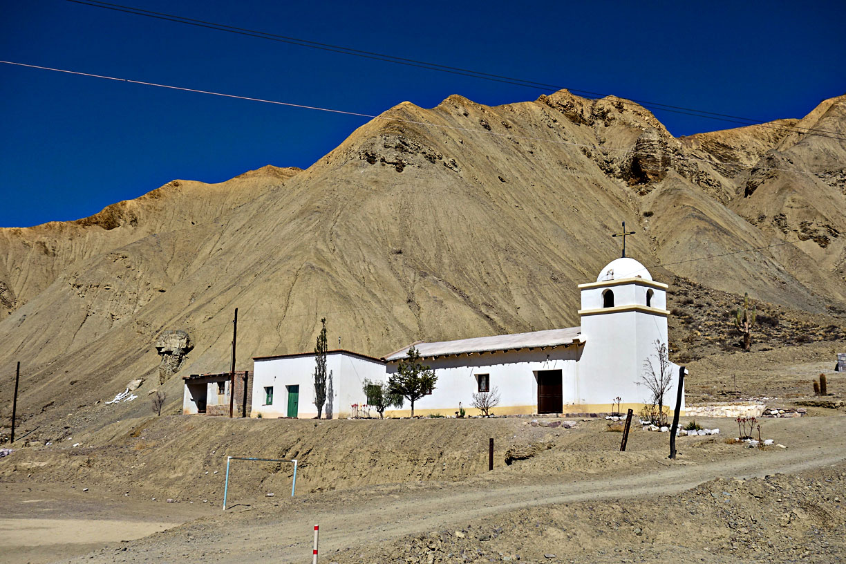
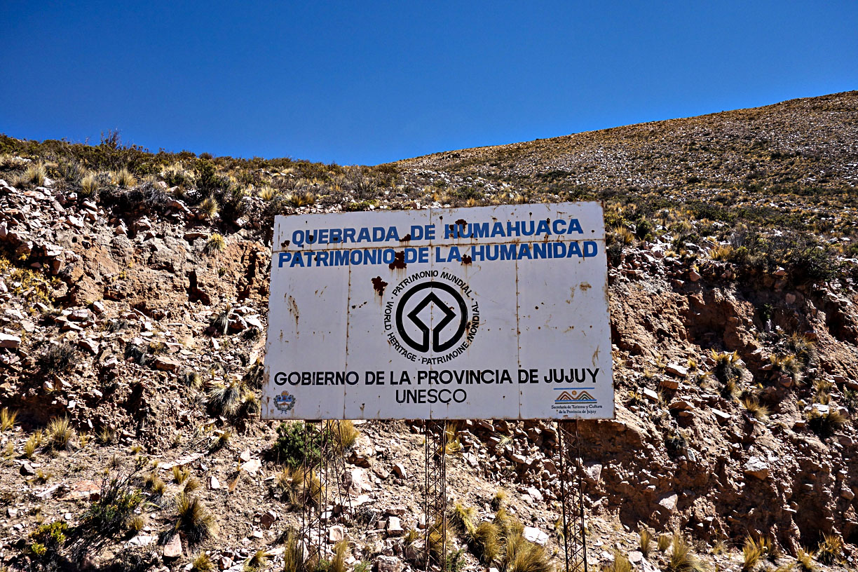
Purmamarca, at the base of the climb, is a small but well set-up tourist town in the Quebrada de Humahuaca (a UNESCO World Heritage site) with lodging, food, and easy access from Salta (about 2.5 hours south) or San Salvador de Jujuy (about 1.5 hours), both with airports.
The road is passable year-round, but Jujuy officials recommend avoiding the coldest winter months (roughly June-August) when frost and occasional snow are more likely at altitude - check current road conditions before heading up regardless of season.
If you're combining this with sightseeing, Purmamarca's Cerro de los Siete Colores (Hill of Seven Colors) and the Salinas Grandes salt flats just beyond the summit are the two natural add-ons most visitors pair with this route.
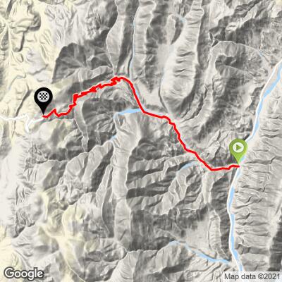
ROUTE MAP
MEMBER RATING
CURRENT WEATHER
PJAMM TRIPS ADVENTURE STARTER BUNDLES
Check out PJAMM Adventure's prepackaged (self-guided) cycling trips. They will help you plan, document and conquer your next adventure.
NEARBY CLIMBS (0) RADIAL PROXIMITY
FROM No Climbs Found
MEMBER REVIEWS & COMMENTS
Let us know what you thought of this climb. Signup for our FREE membership to write a review or post a comment.
Already have an account?
LOG IN HERE