Kosmostansiya Bike Climb - PJAMM Cycling

58.9
PDI
19.8 mi
DISTANCE
7,867 ft
GAINED
7.4 %
AVG. GRADE

FULL CLIMB STATS

Page Contributor(s): Mark Austin, Alexandria, VA, USA; Tim McGhie, Almaty, Kazakhstan;Ties Arts, Bussum, Netherlands

INTRO

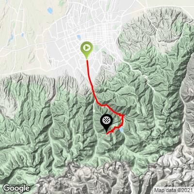
Kosmostansiya is one of the world's great high-altitude climbs, a 19.8-mile ascent into the Ile-Alatau mountains south of Almaty, Kazakhstan, gaining 7,867 feet at an average grade of 7.4%. It climbs from the foothills outside the city up through the Big Almaty Lake gorge to the Cosmic Ray Station - a Soviet-era research institute built in 1957 to study high-energy particles arriving from space - perched above 10,900 feet near the Zhusaly-Kezen Pass. PJAMM's database currently ranks it 21st hardest climb in the world. The road itself has only been fully paved since 2012, and it earns its reputation through sheer sustained difficulty rather than any one brutal pitch - though the final 5 miles, averaging over 10%, are as hard as almost anything else in the database. Along the way, riders pass through forested switchbacks, open alpine terrain, and views over turquoise Big Almaty Lake before the road narrows for the push to the station itself. Beyond the physical challenge, this is a climb steeped in Soviet scientific history - the observatory and cosmic-ray station near the summit have been in continuous operation since the early 1960s, and the old installations along the upper road are a reminder of that era. It's earned a reputation among the world's cycling community as a genuine bucket-list mountain climb, not just a regional curiosity.

PLAN YOUR ROUTE

We've partnered with Sherpa-Map.com to bring you the best route planning tool. With a PRO Membership you can use this climb as a reference when creating your route.
Kosmostansiya's 7.4% average grade is tough enough on its own for a climb this long, but the profile isn't uniform - it gets progressively harder the higher you go. The steepest 100 yards touches 22%, and the steepest quarter-mile still averages over 14%, both well into the range of the hardest ramps in PJAMM's worldwide database. What separates this climb from a lot of steep-but-short mountains is that the difficulty holds up over real distance: the steepest full mile averages nearly 12%, the steepest 2.5 miles still average close to 11%, and even the steepest 5-mile stretch - essentially the final third of the route toward the station - holds above 10%. That last section is widely regarded as the crux of the ride. The lower miles out of Almaty are comparatively gentle, giving riders a chance to settle in before the grade tightens through the gorge. Pace conservatively early - the final approach to Kosmostansiya is where the climb actually decides how your day goes.
Roadway: The road has been fully paved since 2012 and is in generally good condition, narrowing in the upper switchbacks as it approaches the station. Surface quality is a step down from Western European mountain roads but is entirely rideable on a standard road bike.

Traffic: Private vehicle access up the gorge toward Big Almaty Lake has been restricted in recent years due to landslide and erosion concerns, with a checkpoint (eco-post) controlling motor traffic - cyclists and walkers are permitted through. In practice this means the upper road sees far less car traffic than it once did, which is a real plus for anyone riding it. Expect occasional shuttle vehicles, tour vans, and a military checkpoint or two near the pass, where carrying a passport is worth doing.

Parking: There's no dedicated cyclist parking at the base - riders typically start from wherever they're staying in Almaty and ride out to the national park checkpoint, which is also where car-based visitors leave their vehicles before continuing on foot, bike, or shuttle.
A standard road bike handles this climb fine - the pavement is continuous, if not pristine, all the way to the station. Low gearing is the priority: with the final miles holding double-digit grades at altitude, riders will want easier gearing than the overall average grade might suggest. The finish sits above 10,900 feet, so altitude is a real factor even for strong riders unused to it - expect noticeably reduced power output in the final third of the climb. Carry more water than the distance alone would suggest, since services thin out fast once you're past the national park checkpoint. Weather at the pass can be sharply colder and windier than in Almaty, even in summer, so a packable layer for the descent is worth the space in a jersey pocket.
Before heading out on any cycling adventure check out our Things to Bring on a Cycling Trip and use our interactive check list to ensure you don't forget anything.
Almaty is a major city with full services, making logistics easy at the base of this climb - the challenge is entirely in the mountain, not in getting there. Summer through early fall is the best window; the pass sits near 11,000 feet and holds snow well into late spring some years. A passport is worth carrying on the ride itself, since the road toward the pass passes through a military/border-adjacent checkpoint area near the summit. Given the current restrictions on private vehicle access up the gorge, confirm current entry rules for cyclists before heading out, as regulations around the national park and eco-post have changed more than once in recent years.

ROUTE MAP
MEMBER RATING

Difficulty: Extreme
4/5
Road
5/5
Traffic
5/5
Scenery

CURRENT WEATHER

PJAMM TRIPS ADVENTURE STARTER BUNDLES

Check out PJAMM Adventure's prepackaged (self-guided) cycling trips. They will help you plan, document and conquer your next adventure.
ALL TRIPS
Browse all of our prepackaged trips and find your next adventure!

NEARBY CLIMBS (0) RADIAL PROXIMITY

FROM
No Climbs Found

MEMBER REVIEWS & COMMENTS

Let us know what you thought of this climb. Signup for our FREE membership to write a review or post a comment.
Already have an account?

Apr 13, 2021
difficulty: Extreme
scenery: 5
traffic: 5
road: 4
Apr 13, 2021
scenery: 5
traffic: 5
road: 4
This is truly a bucket list climb! Get up early and grab the empty roads and the great morning weather! The roads are very nice up to the lake and really not very bad at all from the lake to the science station at the top...quite nice really for that altitude and exposure...some cracks and heaves, but nothing to really worry about. You'll see quite a few cyclists heading up to the lake, but you're likely to be one of only and handful (if any) pedaling all the way to the top. It's not the highest climb out there...it's not the steepest...nor is it the longest...but it is a significant amount of all of that wrapped up in nearly 8000 feet and beautiful Central Asian scenery! ENJOY!!!!
ROUTE MAP
PROFILE TOOL
Route Data
S.G. (%)
hide
Segment Data
hide
CLIMB SUMMARY

Cycling Kosmostansiya, Kazakhstan

Ride 31.8 kilometers gaining 2,377 meters at 7.3% (7.8% climb only)

Introduction by our Legendary Mountains co-author, Ties Arts, Bussum, Netherlands.

Kazakhstan, a former Soviet Republic and since 1991 independent and dependent on oil & gas as main source of income. In the south the former capital Almaty (Alma Ata) has developed into a large well developed city. To the south the Ala Tau/Tian Shan mountains separate Kazakhstan and Kyrgyzstan. These mountains are magnificent and have peaks over 4000meters.  So is the Big Almaty Peak of 3680meters.  Nearby the Big Almaty Peak is the Tian Shan astronomical observatory and the Physical & Technical Institute (known as Kosmostantsiya) at an elevation of 3381m. The road from Almaty to the observatory and Kosmostantsiya has been paved only since 2012.

And this creates one of the world's top 100 legendary climbs. A climb with a high steep average (7.3%+), steep sections, wonderful scenery especially Big Lake Almaty, the many hairpins, views and reminders of the old Soviet times.  

Kazakhstan has become a cycling country since 2009 since the well-known Astana Pro team was created and pro’s started racing in Kazakhstan as well (e.g. Tour de Almaty).  For many years, since the road has been paved, the Kosmos Uphill challenge is annually organized: www.kosmosuphill.kz   

Mark Austin rode the monster climb in 2018. Tim McGhie in June 2020. Let’s dive into their experiences.

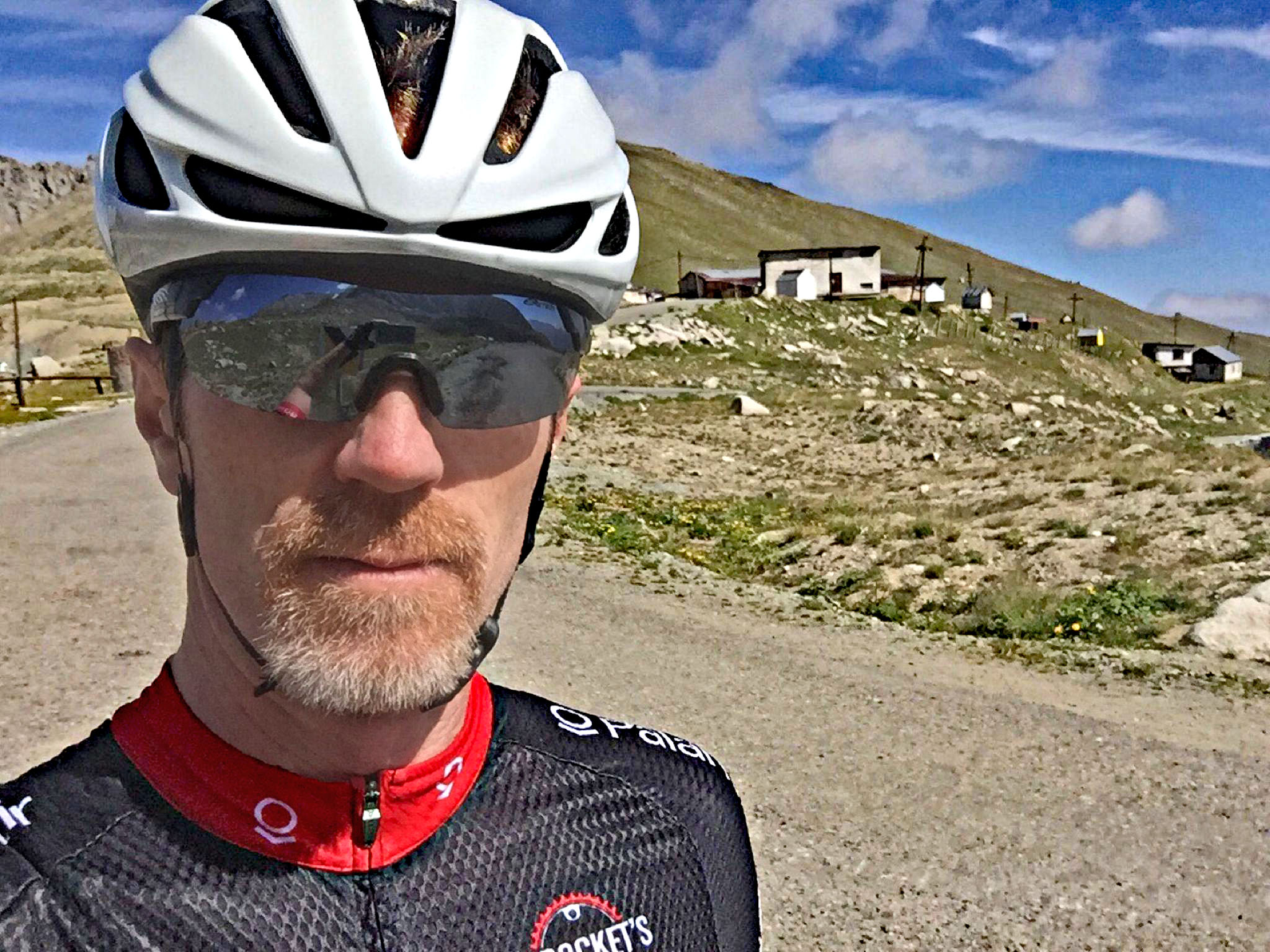
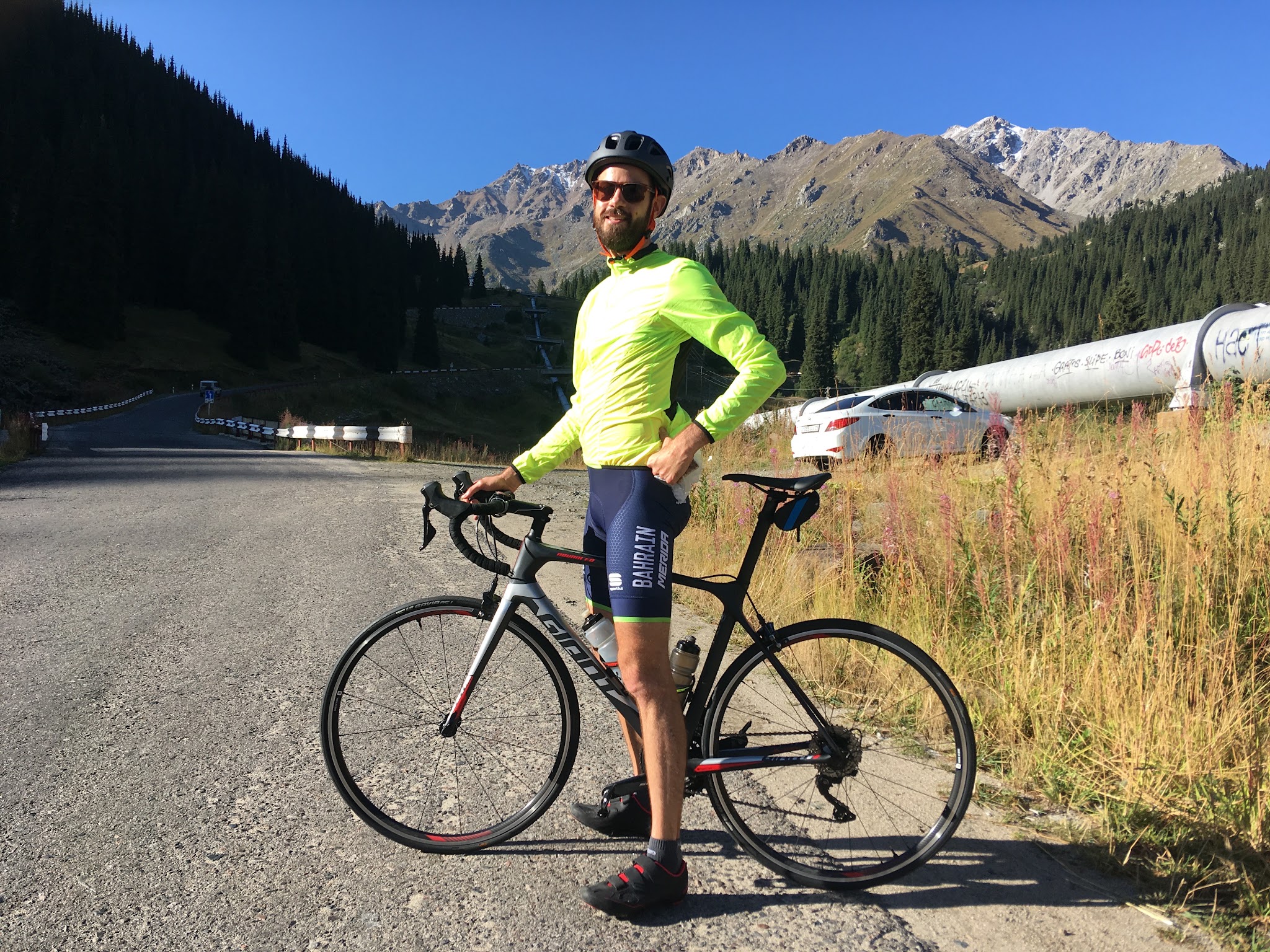
Mark is an amateur competitive cyclist and former Virgina State Road Champion (Masters) who fell in love with cycling when his father bought him a Raleigh Racing Grand Prix in Idaho Falls, ID in 1982.  He currently lives with his family in Alexandria, VA, USA, and works as a global health professional as a way to fund his passion—bordering on obsession—for cycling, and he races with the incredible group of fellow addicts on the Total Construction / Battley Harley-Davidson Masters team.

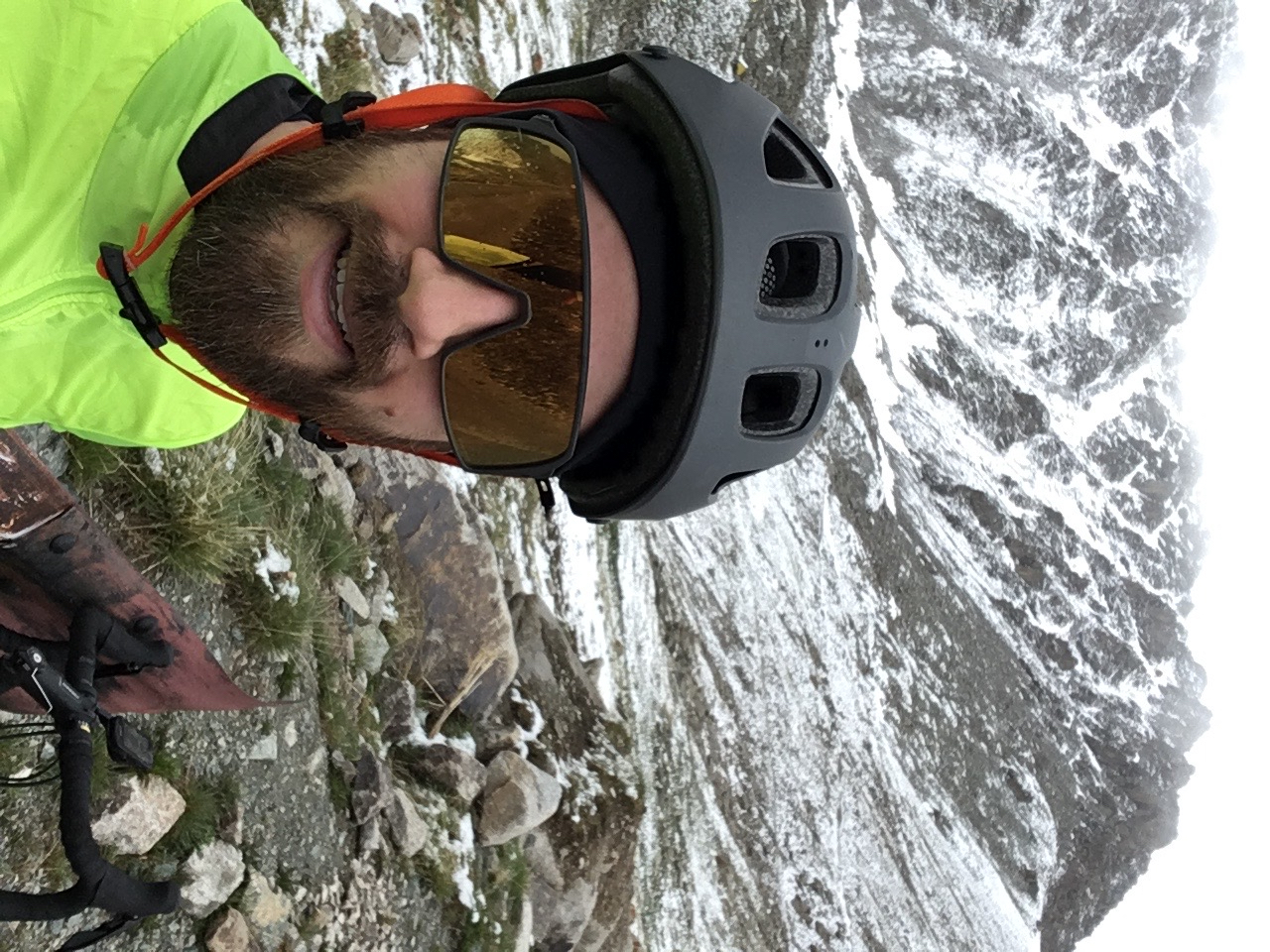
Tim is the holder of the KOM (year-to-date April 2021) and currently lives in Alamaty.

Climb summary and most photos by Mark Austin, Alexandria, VA, USA  & Tim McGhie, Almaty, Kazahstan;  

           Mark Austin                                                                     Tim McGhie

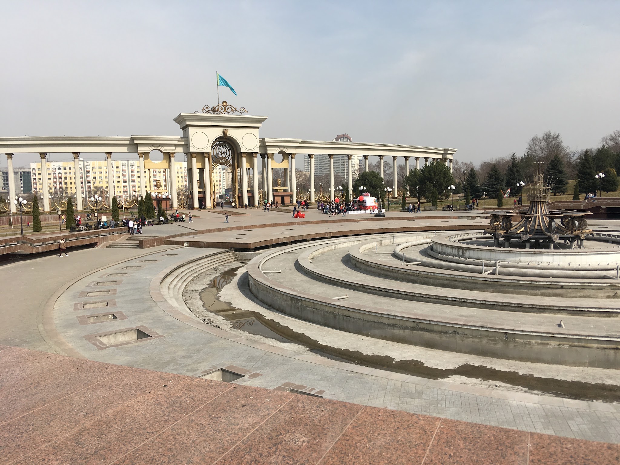
I (Mark) began the day with an early 6AM departure from my apartment in downtown Almaty.  It’s a gentle 12km ascending ride (1.5%) on high-quality tarmac to reach the First Presidential Park on the southside of al-Farabi highway where the beginning of the full climb starts.  If you start here, you will be riding approximately 32km to reach the Kosmos facility.  

First Presidential Park (start of climb, picture by Tim McGhie)

The climb basically has four sections. Bring your ID because for passing section 4 you need to identify yourself.

And to set expectations: the last section is the toughest one (8km 10% average).

That’s why this climb qualifies for being in the league of the world's toughest climbs!  

SECTION 1: Presidential Park to Turnout

Distance: 9.3km / 5.8 miles

Vertical: 432m / 1420ft

Average Grade: 4.6%

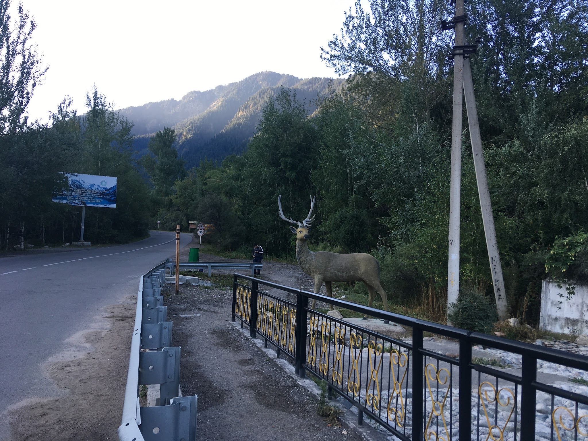
The first 10 miles are around a 3-5% grade up the canyon, first riding straight up a sometimes battered road (loved my 35s here!) through smaller villages and roadside businesses and restaurants until you reach the mouth of the canyon and main entrance to the park at about 7.8km.  On beautiful weekends, cars begin to arrive and a long line forms here, so get an early start (e.g. 7AM at the Presidents Park) and beat the uphill traffic...and the mountain storms that can roll in quickly.  You’ll be glad you did!

After the gate, it continues rather straight for a few more miles until the road veers to the right and leads up a smaller canyon.  Don’t go right.  Take the left road that leads to Big Almaty Lake.  There is a junction there with a nice parking lot on the side of the road where you can easily stage should you decide to start your climb here (which many do).

(picture by Tim McGhie)

SECTION 2: Turnout to Switchbacks

Distance: 7.4km / 4.6 miles

Vertical: 567m / 1860ft

Average Grade: 7.5%

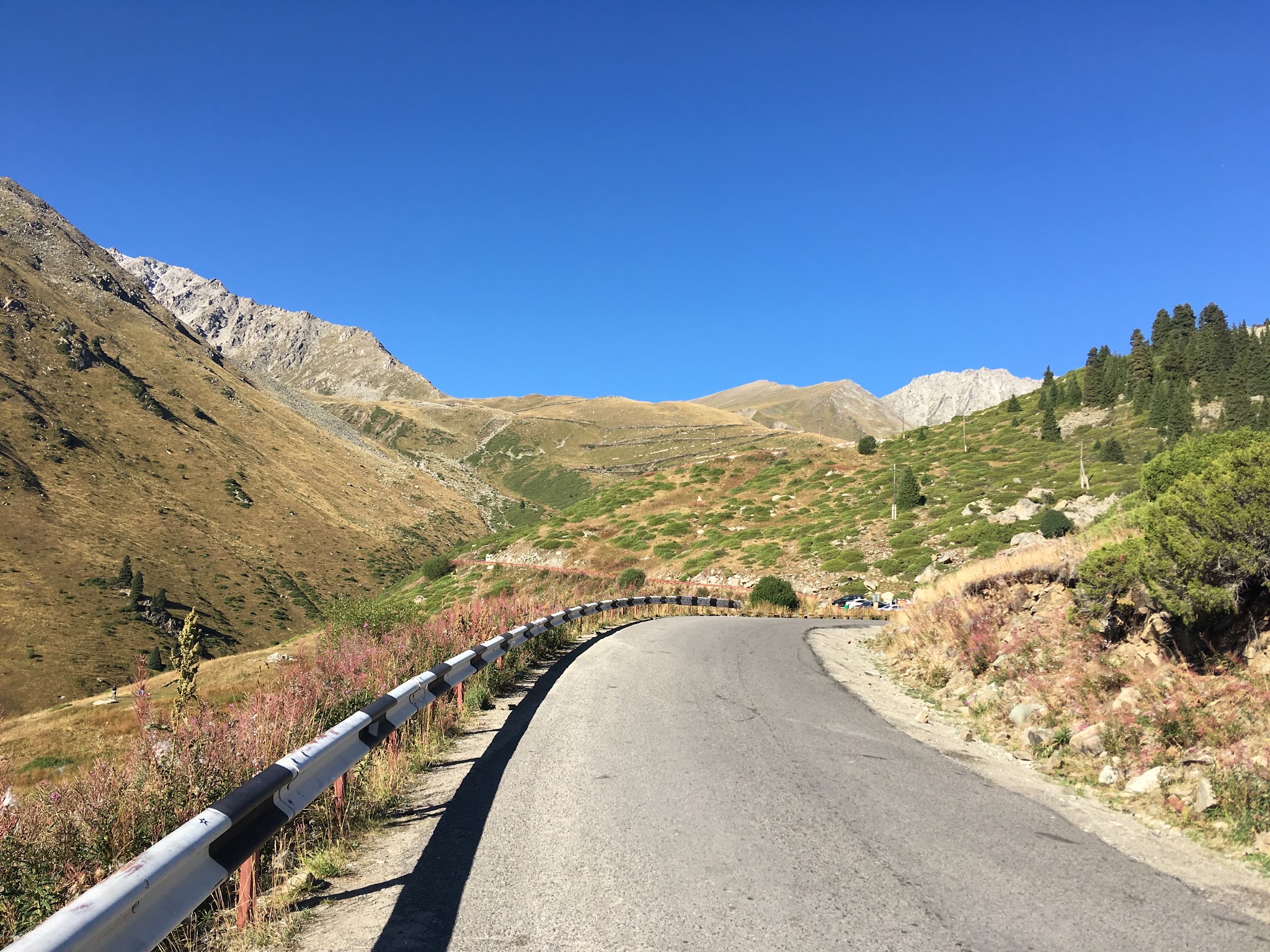
Turnout into the mountains (pictureTim McGhie)

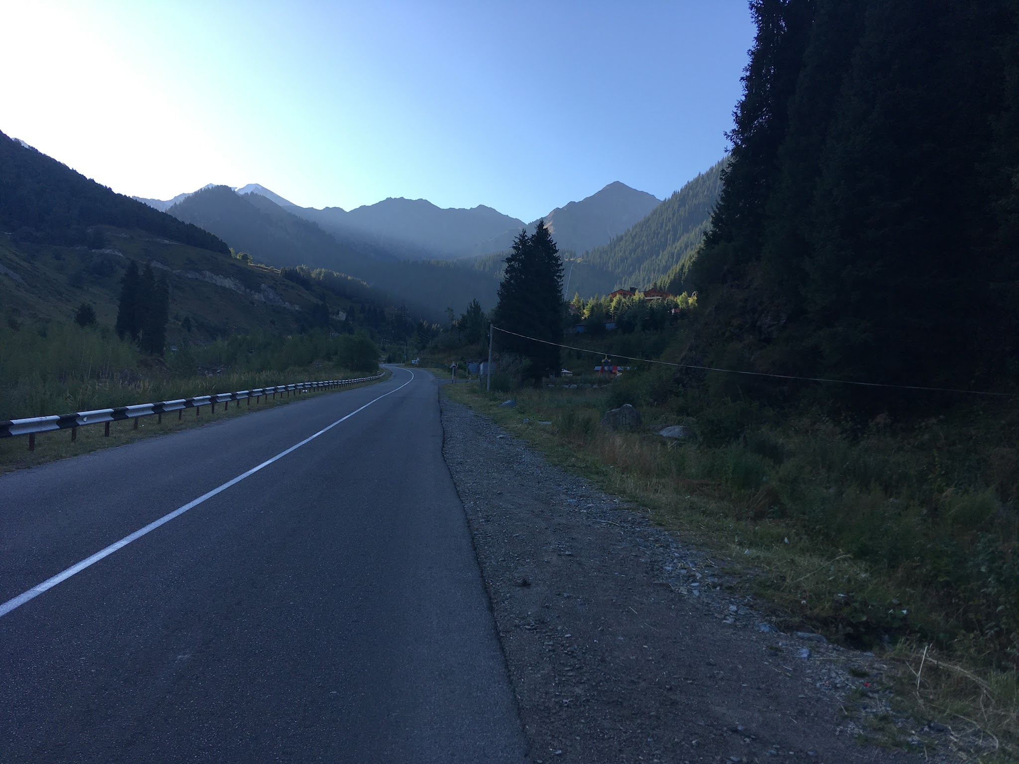
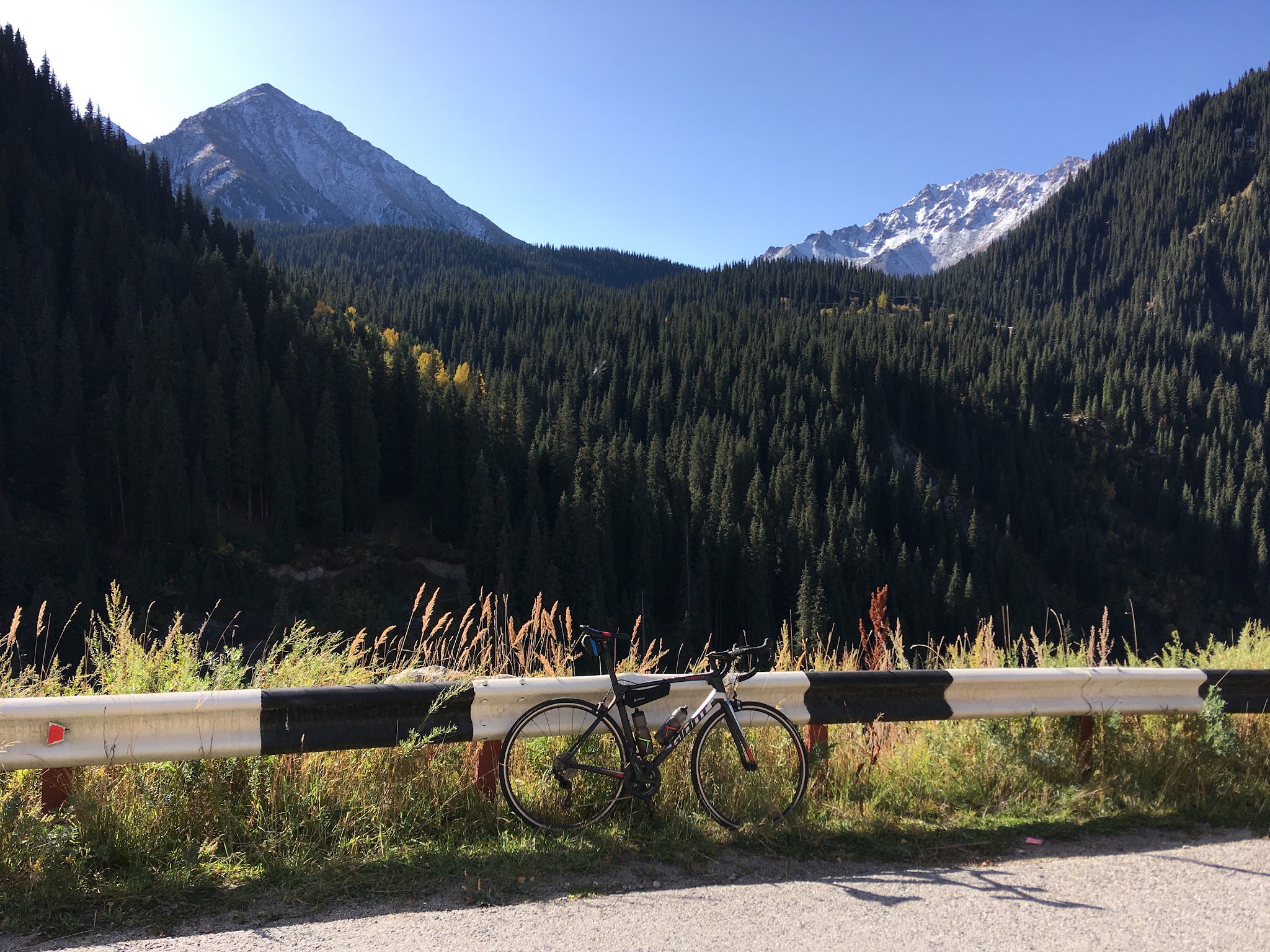
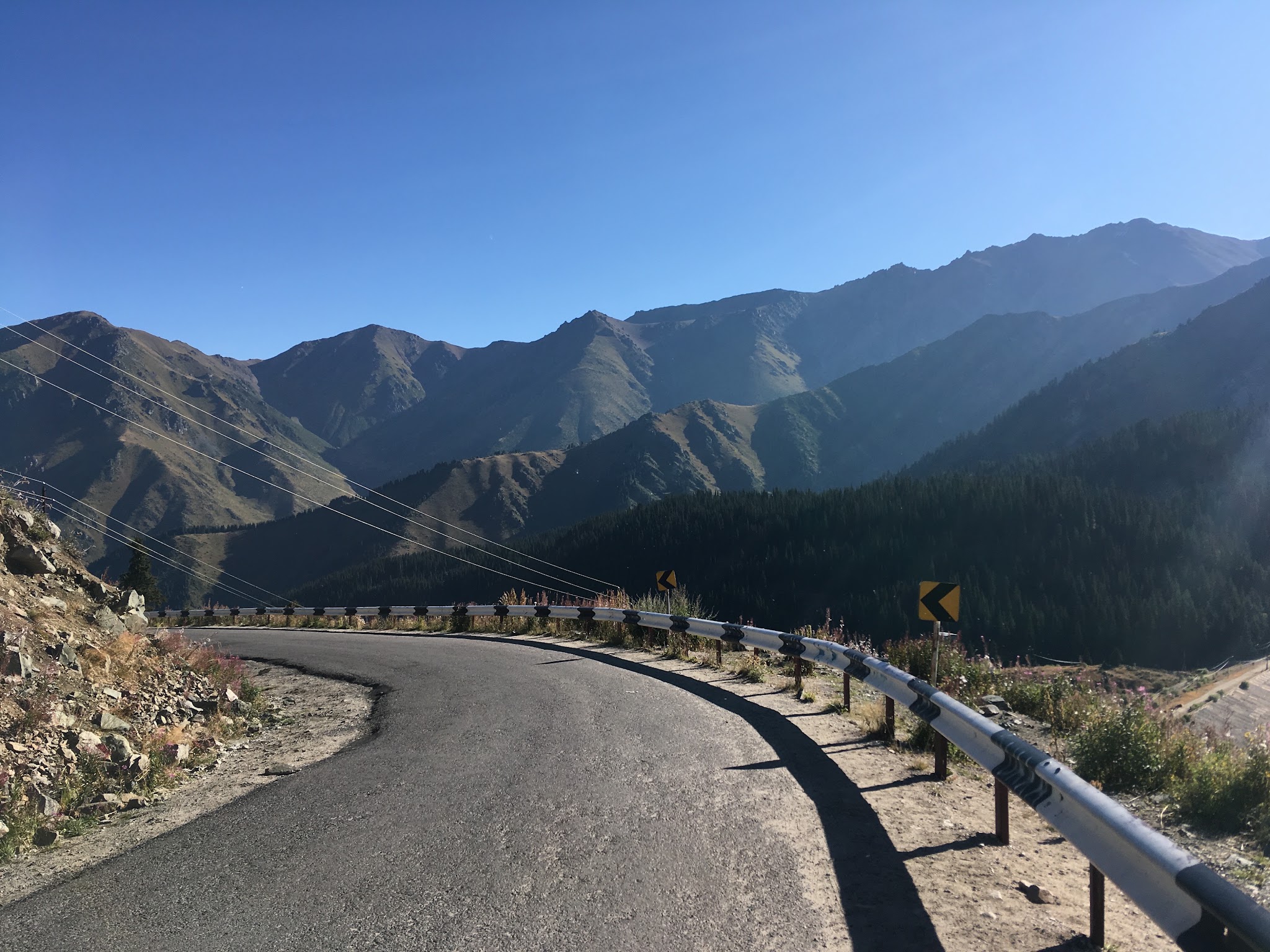
From here on out, things get really pretty and the tarmac is quite nice as it gently winds up the valley into the steeper canyons ahead.  It’s a fairly steady grade here with some small kickers to slow down your pace, but the overall ride is really nice here...especially if you’ve started the day in the city and had a chance to get your legs warmed up.  On a clear morning, the views are nice with alpine meadows and forests, snow-capped Alatay peaks ahead, and a smooth road leading the way.  Here you’ll also see a few small groups (many who are decked out in their sky blue Astana kit paying homage to their favorite pro team) heading up into the mountains with you.  Make sure you give them a nice wave when you roll right by! ;-) Toward the end of this section, there is the one respite in the entire climb: a short 0.7km descent down the left side of the canyon with the switchbacks carved into the wall ahead of you.  That’s when things start to get interesting.

 Near the Alpine Rose Inn (Picture Mark Austin & Tim McGhie)

SECTION 3: Switchbacks to Big Almaty Lake

Distance: 7km / 4.3 miles

Vertical: 498m / 1630ft

Average Grade: 7.1%

Last switchbacks to the Big Almaty Lake (picture Tim McGhie)

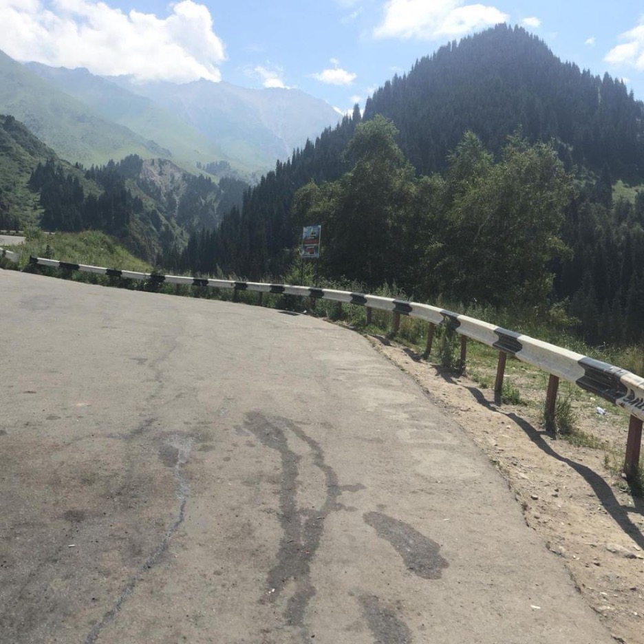
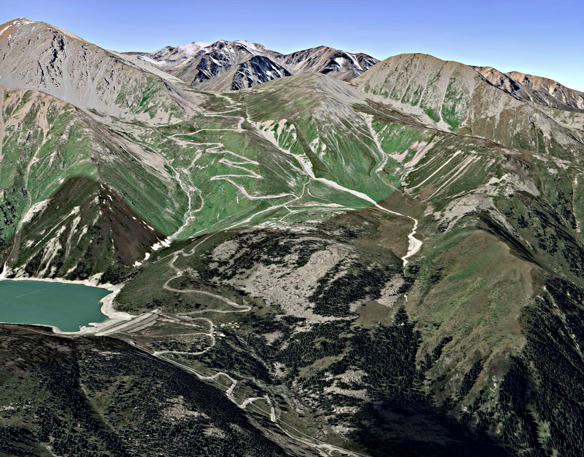
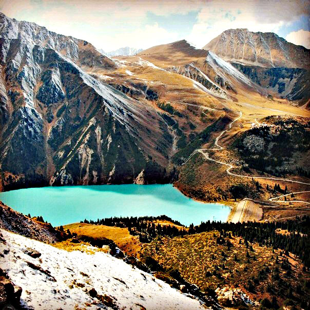
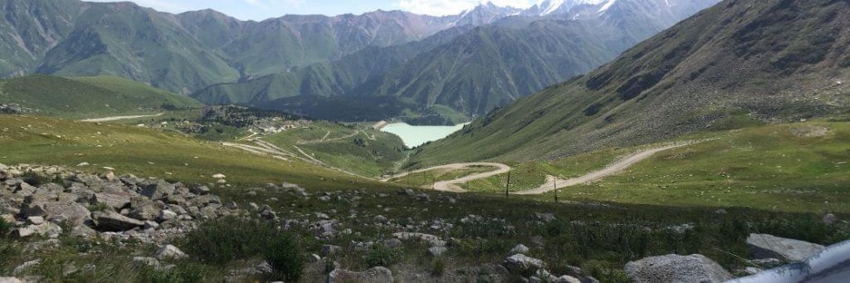
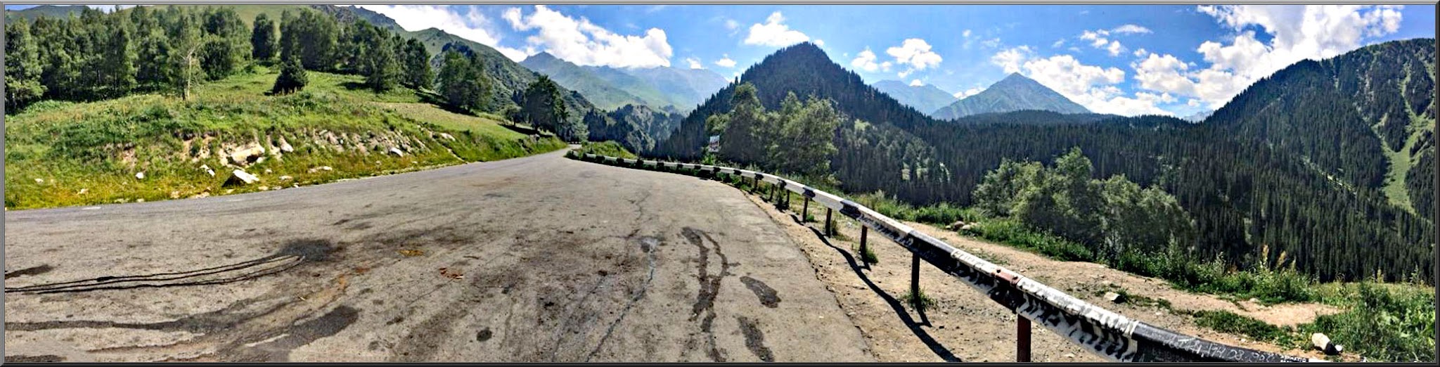
Let the real climbing begin!  After the brief downhill, the road kicks up and to the left to begin a series of switchbacks carved into the hillside.  The first segment is exposed in some areas giving you great views of the valley you’ve ridden to get here.  Then you start working your way through the forested hillside and past beautiful alpine meadows.  About 2.5 miles into the climb, you will pass the Alpine Rose, a charming little alpine inn/pub that may be worth a stop—on the way DOWN!!!—not on the way UP!! :-).  Keep your legs spinning, because there’s another 2 miles to go with plenty more curvy roads through the forests to keep things interesting.  The last mile to the lake opens up and you can see final 4-5 switchbacks up the grassy/rocky slope of the dam that holds the lake back.

Hairpins to and beyond Big Almaty Lake in different seasons (pictures; left Google Earth, right www.uphillkosmos.kz )

SECTION 4: Big Almaty Lake to Kosmos

Distance: 8.3km / 5.2 miles

Vertical: 838m / 2750ft

Average Grade: 10%

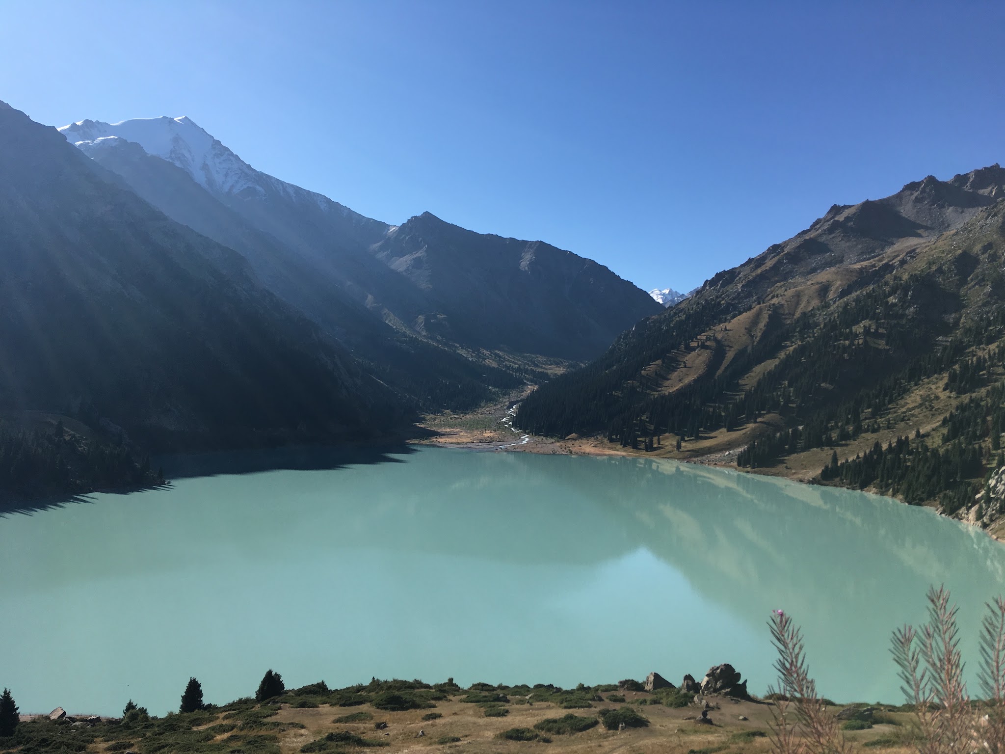
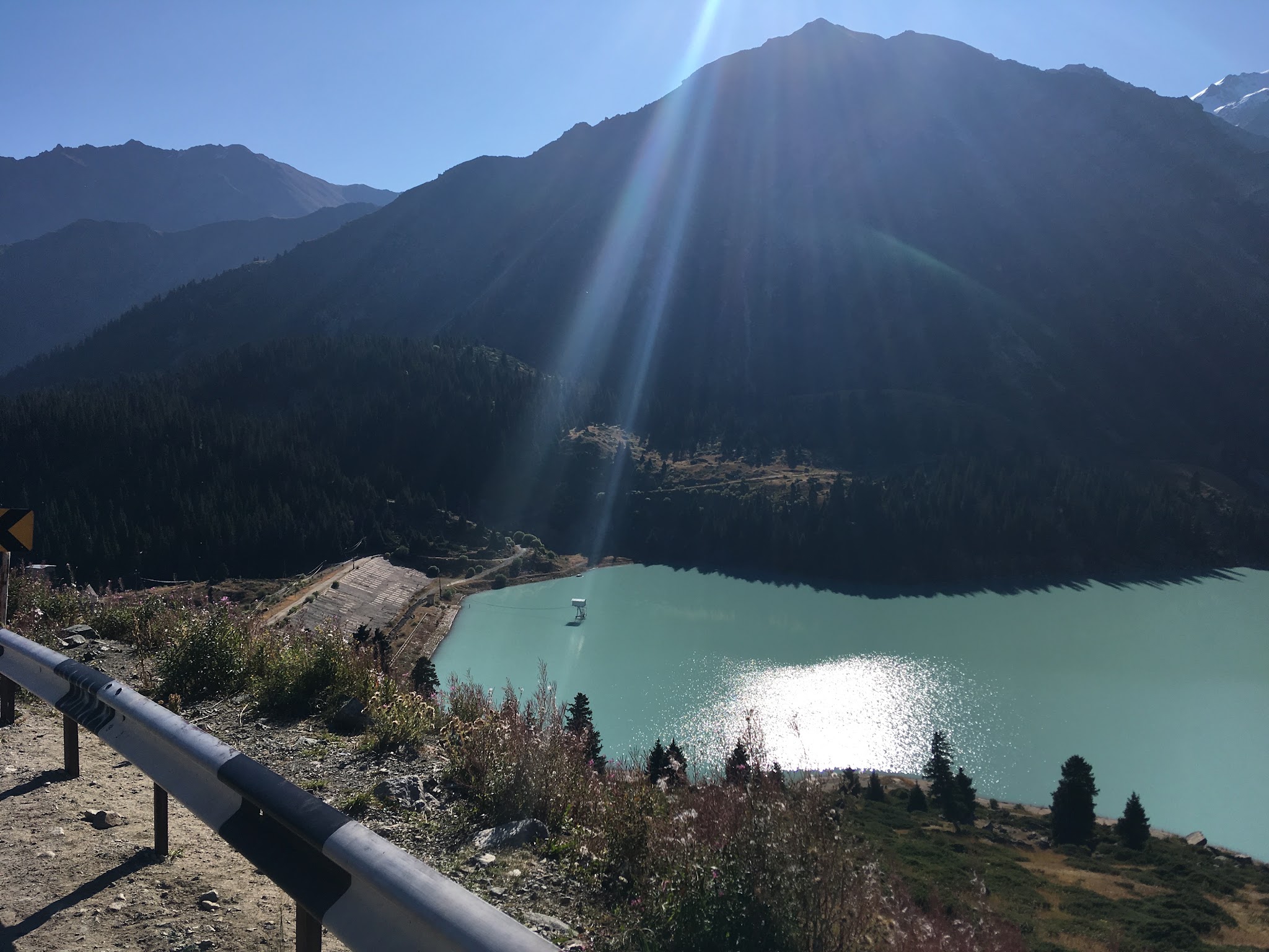
You’ve reached the dam.  If you’re legs are starting to scream, this is a great place to take a short break, refuel, rehydrate, and take a few pics of this milky-blue alpine lake.  But, if you’re feeling good, keep on rolling!!  My mantra is “you can always take pictures on the way down!”

The Big Almaty Lake - just ‘wow’!   (pictures Tim McGhie)

Here the road crosses from the left side of the dam to the right.  You can see the road pitch up from here and work its way up the left slope.  This is the “crux”.  Here you are above the treeline, so once again, it’s a blessing to hit this in the morning when the air is still crisp and the sun isn’t high in the sky.  

Astonishing views above the lake. (pictures Tim McGhie)

About 2 km up you will pass the small turnoff on the right that leads to an observatory.  After that, it’s still “onward and upward” to the Kosmos.  Depending on when you arrive, there is a gate here that may be staffed with an officer or two.  BRING YOUR PASSPORT!!!  The first time I climbed, the gate was wide open and no one manning it, so I just rolled on by.  A week later when I hit the climb again, it was manned and I did NOT have my passport.  I did have my wallet with an ID...but it took about 5 minutes and a lot of “please, please, please” and my saddest puppy dog face before they finally agreed that I could pass.

Switchbacks view still 3km up to the summit (picture Mark Austin)

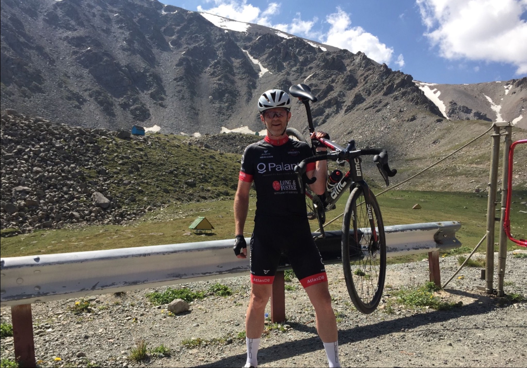
From here on it’s UP, UP, UP.  Beautiful switchbacks with high-alpine tarmac that is certainly covered with snow for much of the year and not well maintained.  Still, it’s not bad at all (not like the road on Colorado’s Mt. Evans climb around Summit Lake...giant cracked craters and huge frost heaves you can catch air off of!).  A series of consistent switchbacks works its way up a steep and rocky meadow until you near the top where the road curves more to follow whatever path works best to make it to the Kosmos.  There are some short-but-steep kickers here, so pace yourself accordingly.  Then it straightens out and you think you’re almost there...until you hit the gate.  This is where cars have to stop.  You’ll probably see about 20 or so cars here on the side of the road belonging to folks who want a picture, trekkers, or whatever.  Just hop off your bike and walk around the side and carry on...it’s only about 0.5km from here.  

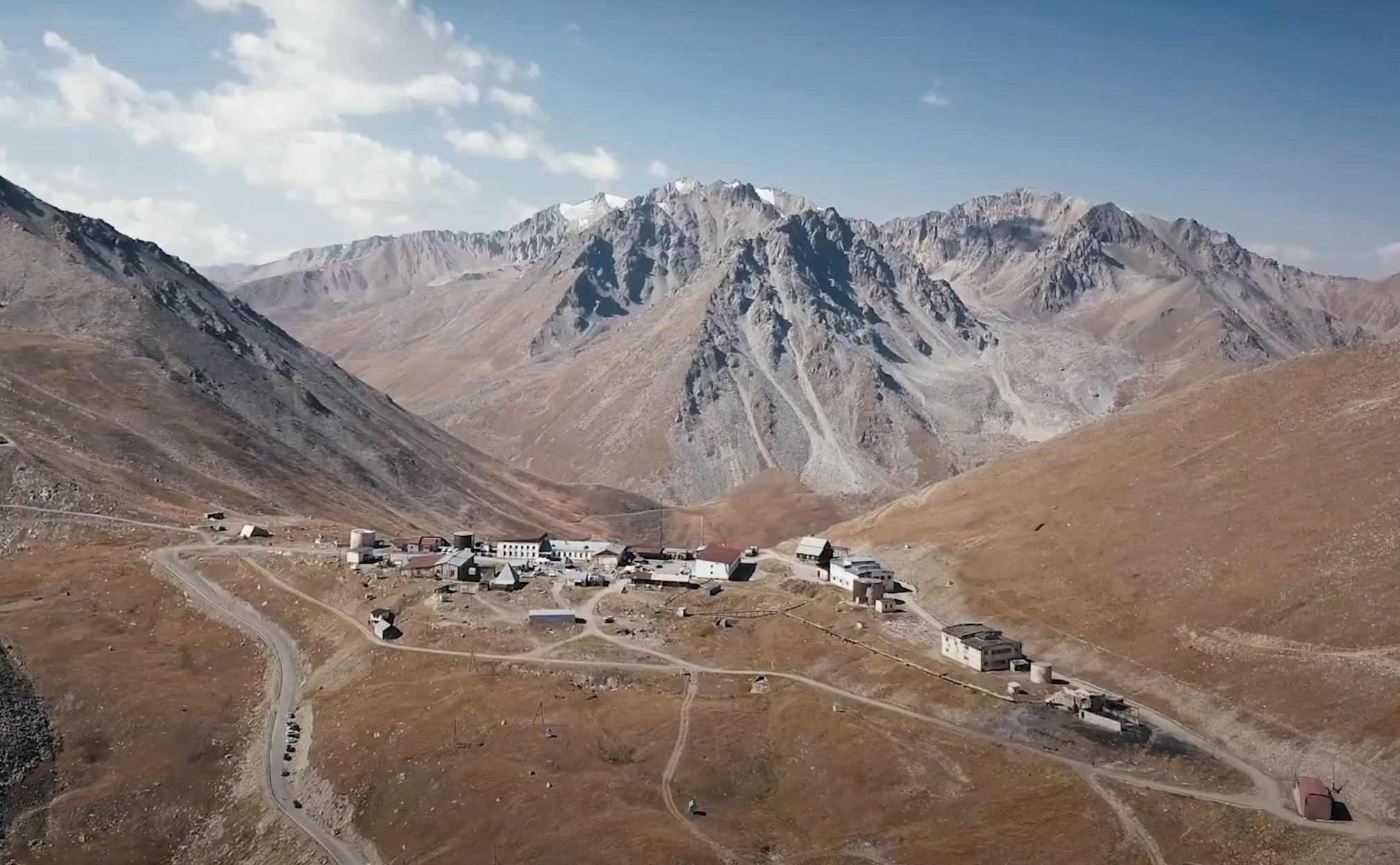
Summit!  (picture taken from video at www.uphillkosmos.kz )

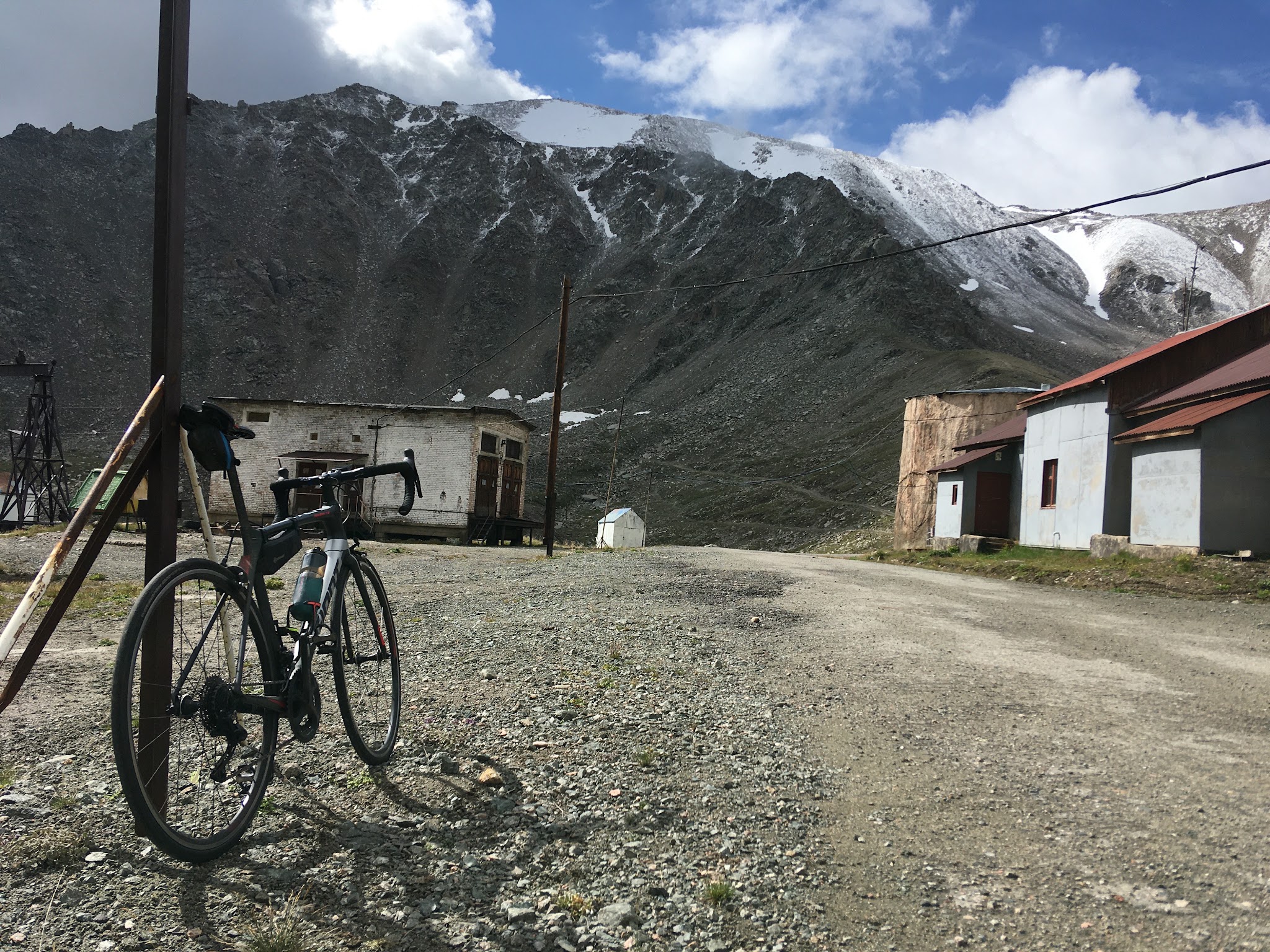
The summit reminds of the Old Soviet era. (picture Tim McGhie)

Thank you Mark!!

Thank You Tim!!