Page Contributor(s): Niels Jansen,Bergeijk, Netherlands; Ties Arts, Bussum, Netherlands
INTRO
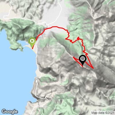
Babadağ - "Father Mountain" in Turkish, known to the ancient Greeks as Mount Cragus - rises straight up from the Mediterranean coast above the resort village of Ölüdeniz in Turkey's Muğla Province. Per our route data, the climb covers 11.75 miles and 6,478 feet of gain from a start of just 31 feet, averaging 10.28% - good for #27 on our current world difficulty ranking. Few climbs start this close to sea level and finish this high.
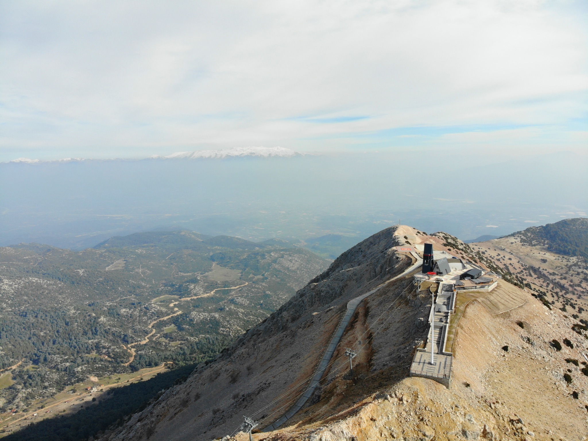
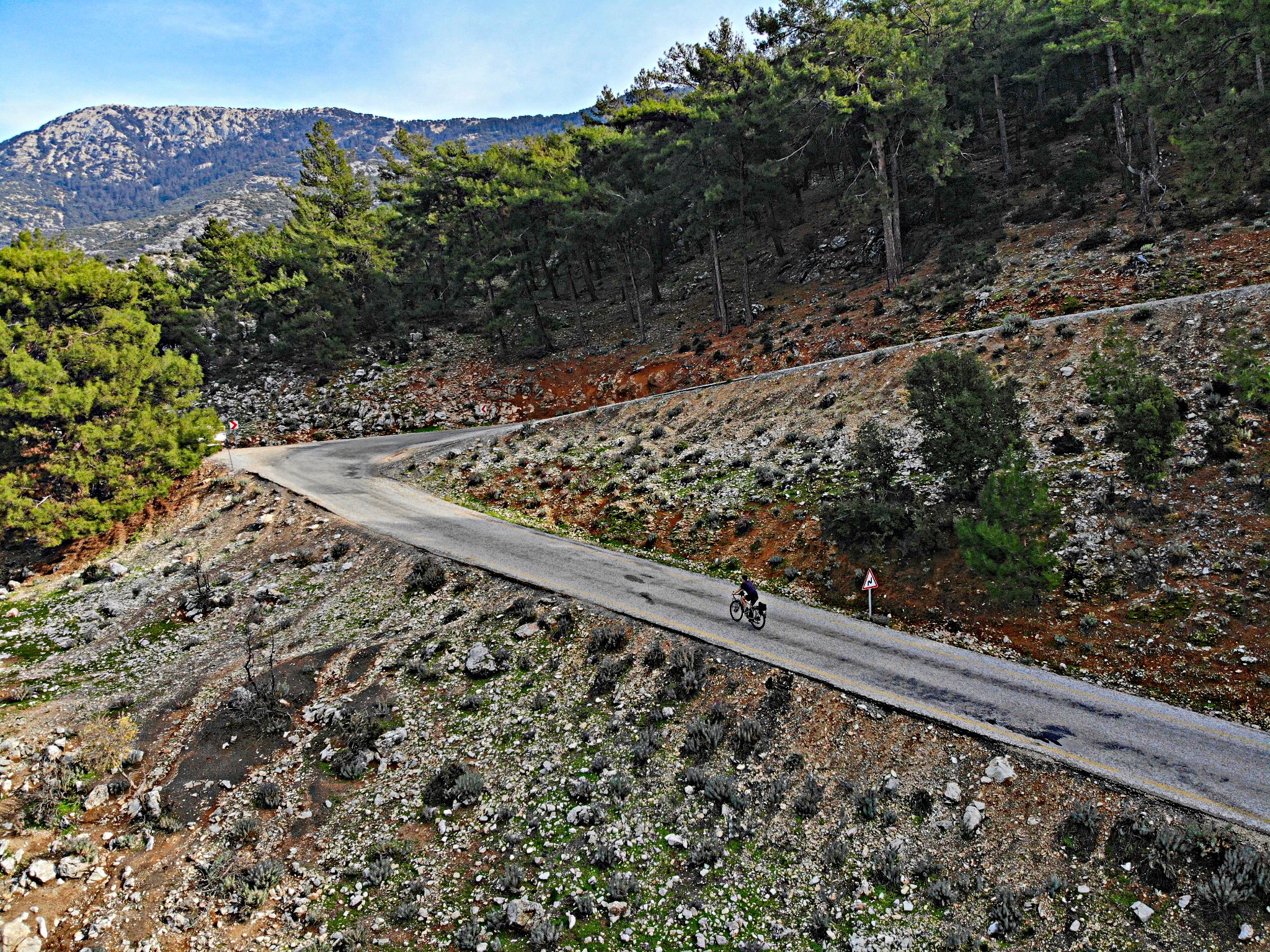
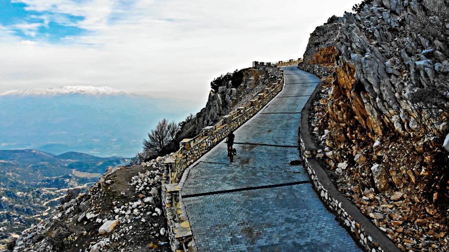
What makes it legendary is how the road delivers that average. The first six kilometers wind gently through pine forest on standard asphalt. Then the surface changes to paving brick, hairpins all but disappear, and the final two to three kilometers above the treeline kick into sustained ramps over 20%, ending at a summit shared with Turkey's busiest paragliding launch site. In October 2023, this stretch closed Stage 3 of the Presidential Tour of Türkiye - officially the steepest summit finish in UCI race history, won by Kazakhstan's Alexey Lutsenko.
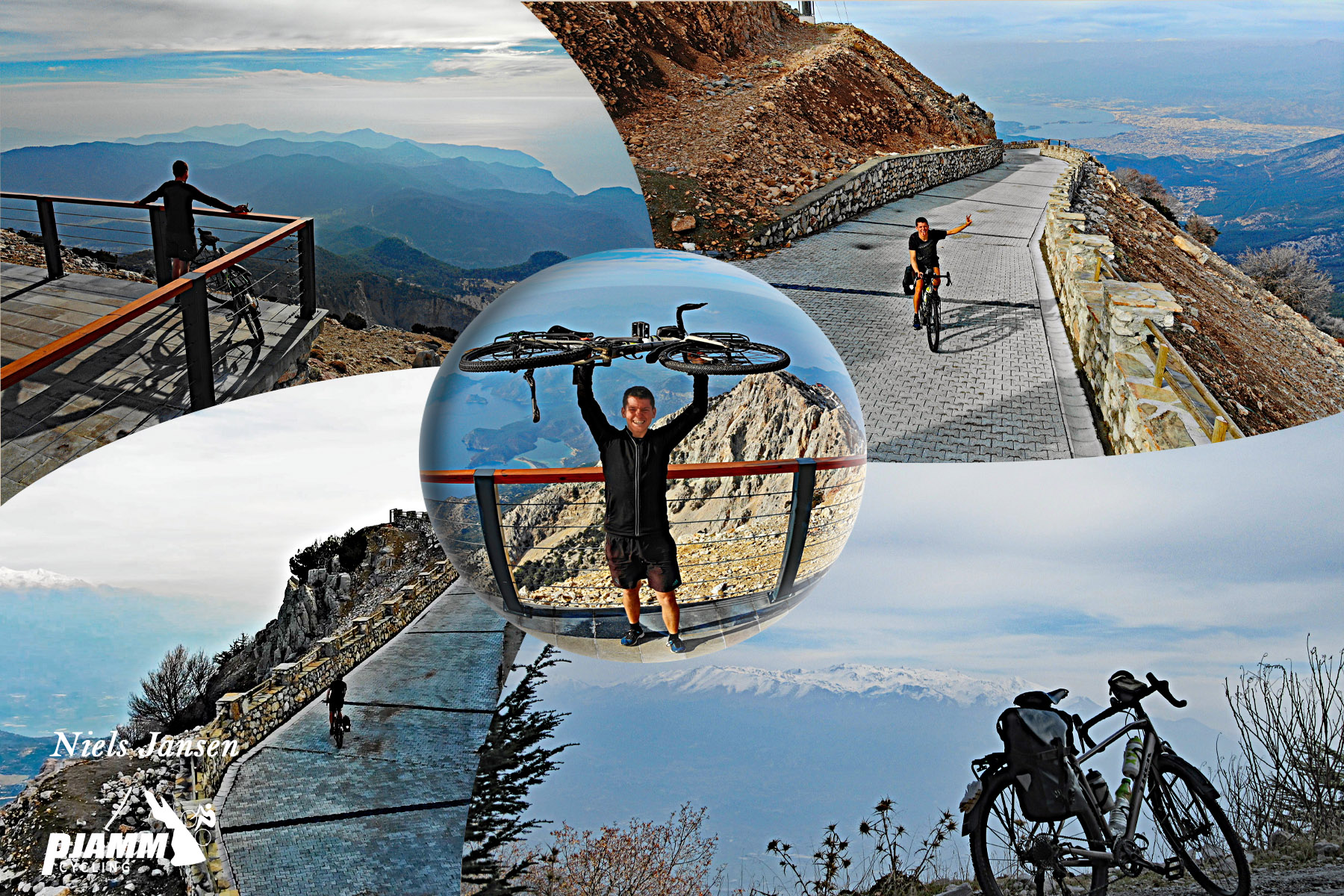
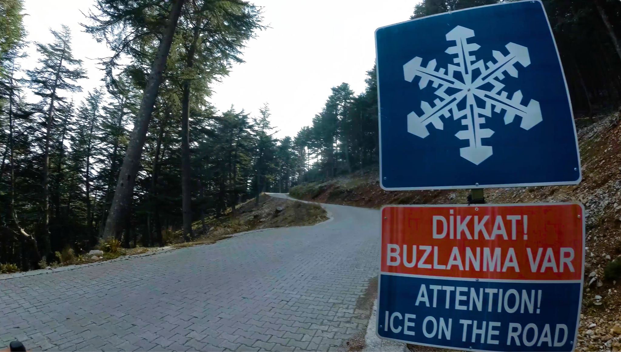
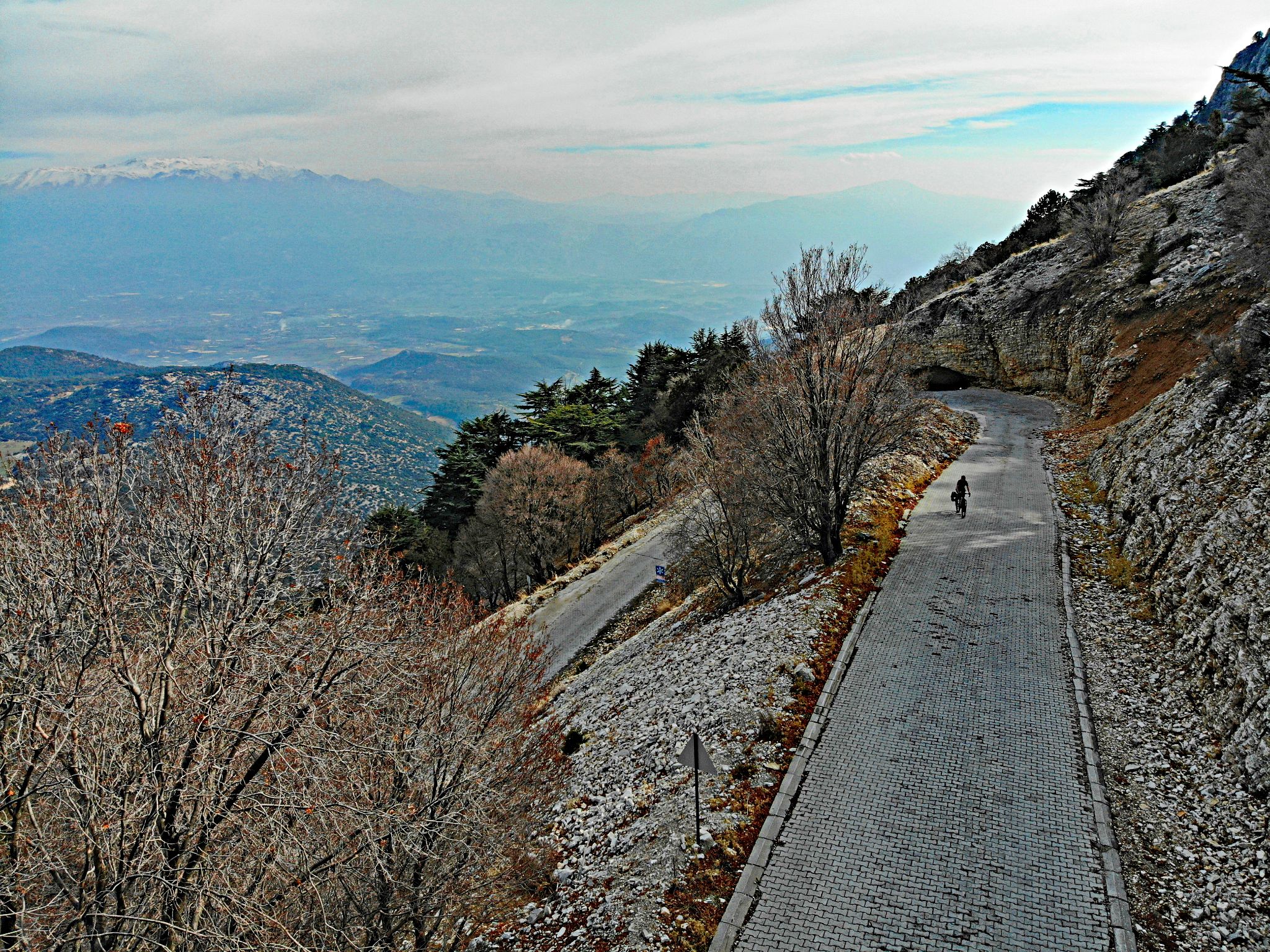
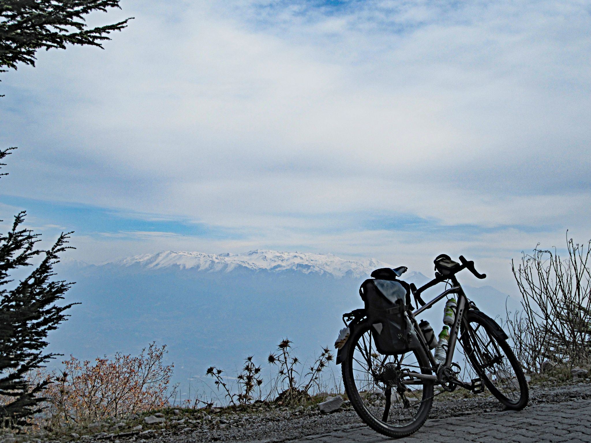
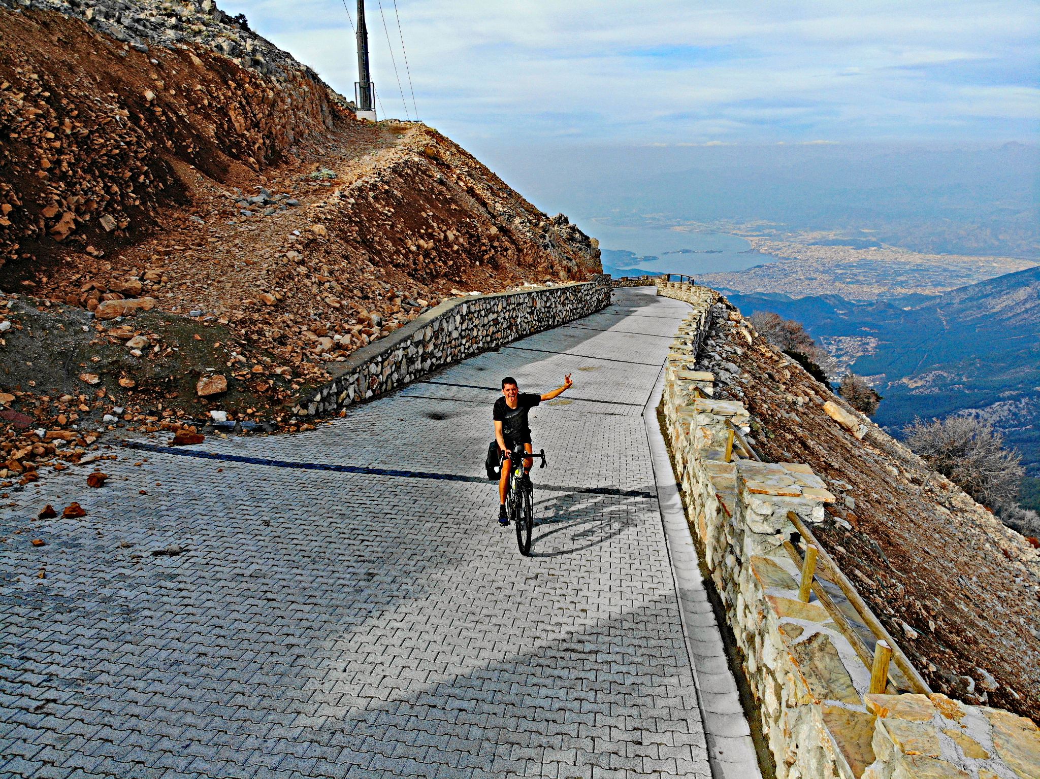
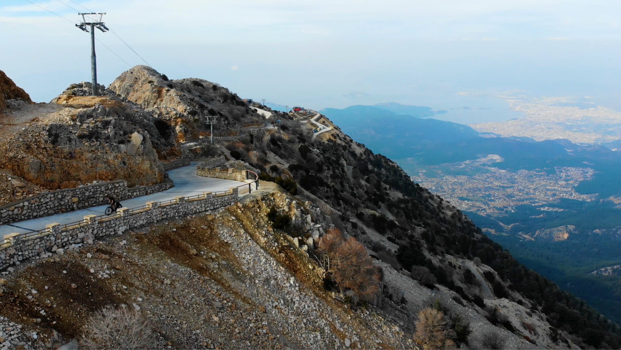
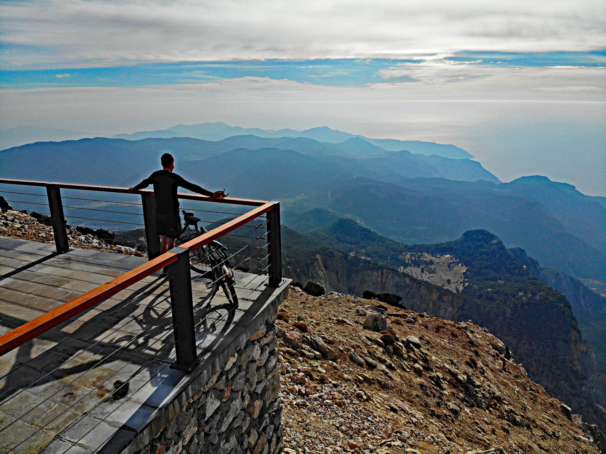
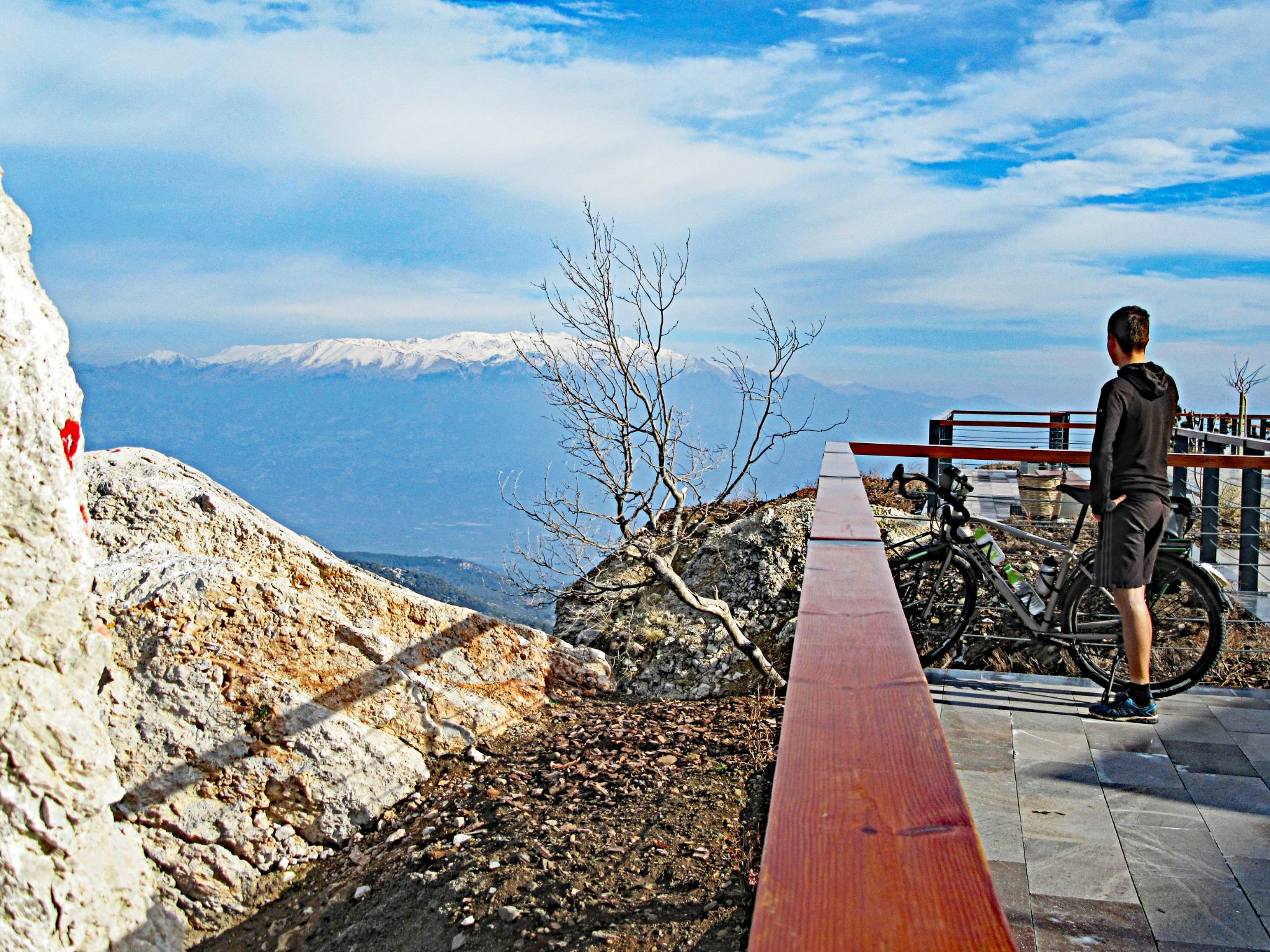
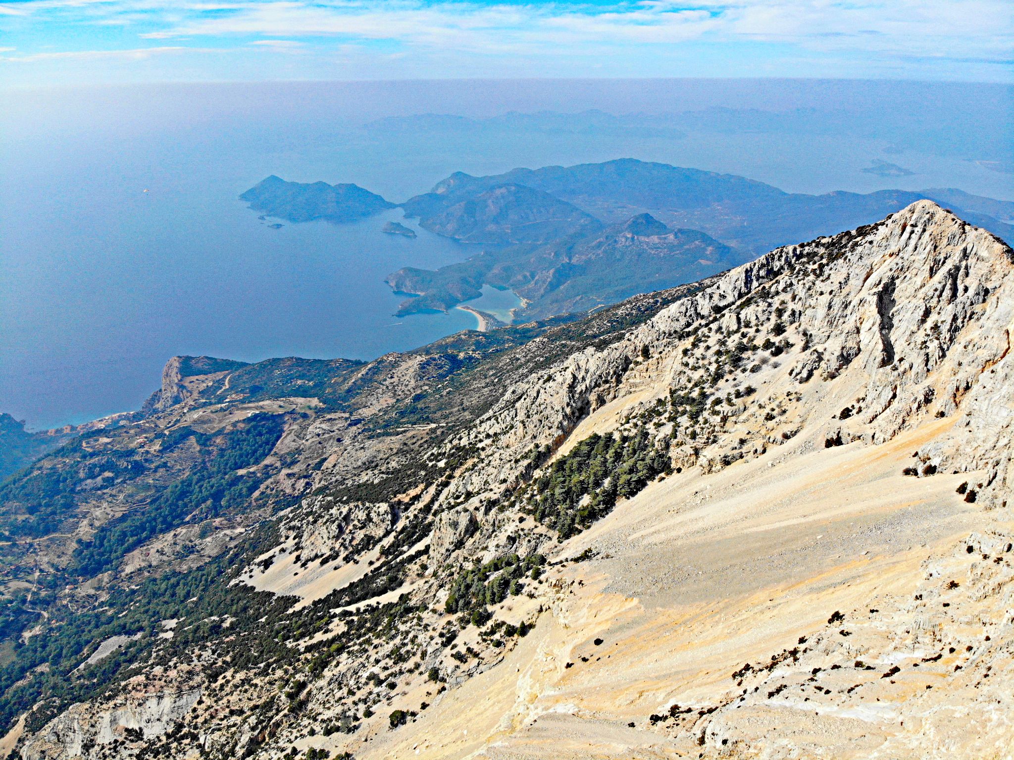
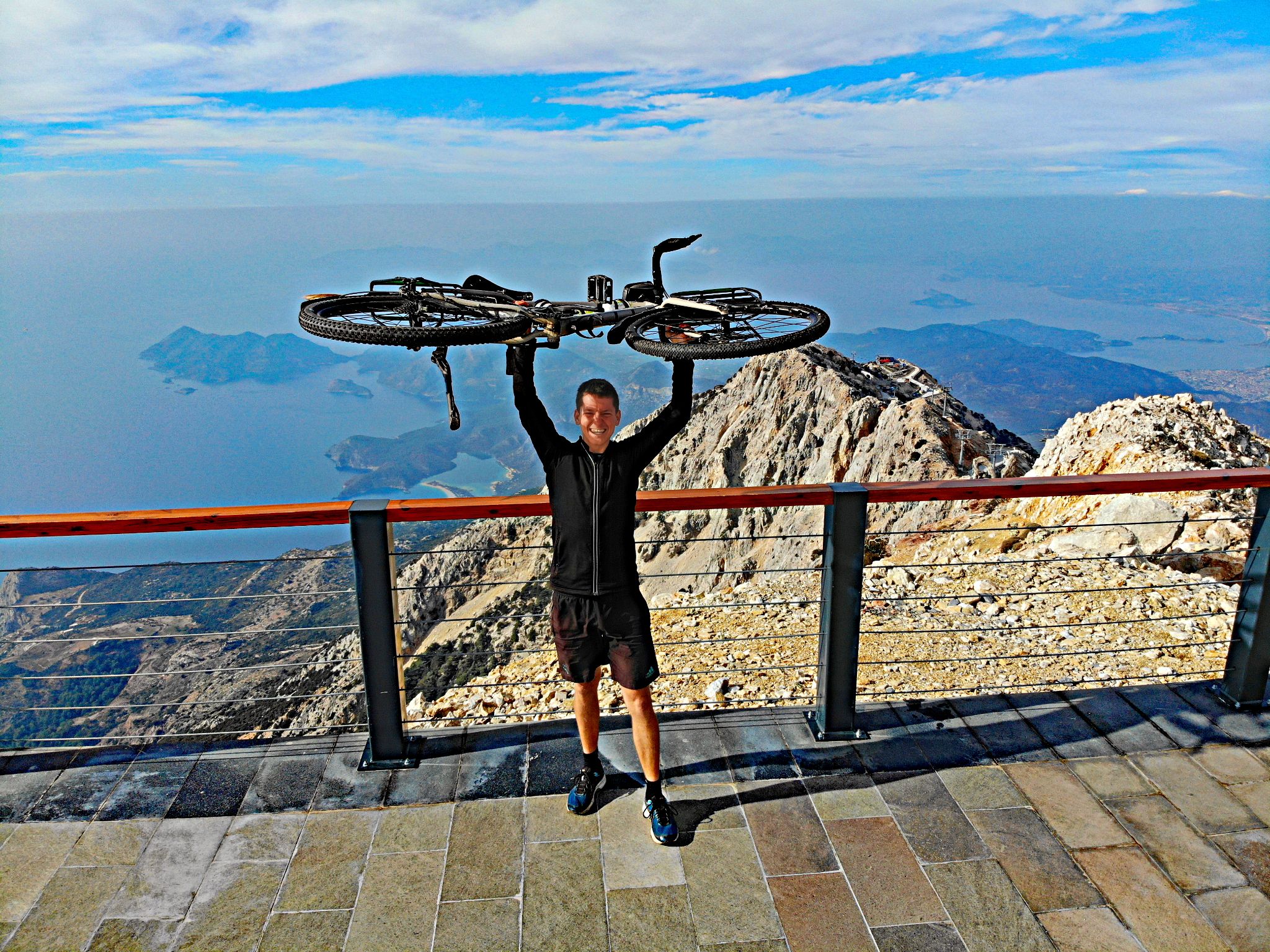
Niels Jansen, the round-the-world cyclist who contributed this page's photos, rode Babadağ in January 2021: "A beautiful but steep 20-km road...almost no traffic, only some vans who bring up paragliders...the last kilometers are the steepest and toughest, but also the most spectacular." From the top, the view runs from the Blue Lagoon below to the snow-capped Taurus Mountains.
PLAN YOUR ROUTE
 We've partnered with Sherpa-Map.com to bring you the best route planning tool. With a PRO Membership you can use this climb as a reference when creating your route.
 Babadağ's average of 10.28% over 11.75 miles (per our route data) puts it at #27 on our current world difficulty ranking - and the average undersells it, since the gradient is anything but steady. The first six kilometers out of Ölüdeniz through the pine forest run a relatively civilized 6-8%. A short stretch mid-climb, after the road switches back on itself, actually eases up for a kilometer or two - the only real recovery on the whole route.
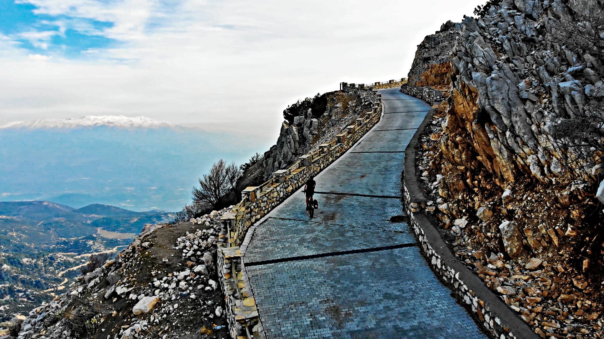
Then it turns vicious. Above the treeline, in the final two to three kilometers, sustained ramps exceed 20% with almost no hairpins to soften them - little effort was made to tame the grade here, so the road just goes straight up the mountainside. This exact stretch was the finish of Stage 3 of the 2023 Presidential Tour of Türkiye, officially the steepest summit finish in UCI race history. Expect to be out of the saddle and searching for gears you don't have.
Roadway: The climb runs entirely on paved public roads - Ovacık Caddesi and Babadağ Caddesi - out of Ölüdeniz. The first six kilometers through the pine forest are smooth standard asphalt. Above that, the remaining stretch to the summit is surfaced in interlocking paving brick rather than tarmac or true cobblestone - a smooth but slightly abrasive surface that grips well but adds resistance on the steepest ramps. A standard road bike handles it fine; very low gearing matters more than tire choice (see Gear & Provisions).
Traffic: Light. The road effectively dead-ends at the summit, so the vehicles you'll see are almost entirely minibuses and vans ferrying tandem paragliders up to the launch point, heaviest from mid-morning through early afternoon in high season (May-September). Ride early and you'll likely have the mountain to yourself.
Parking: There's no dedicated cyclist parking area - most riders start from their hotel in Ölüdeniz or Fethiye and ride the full route from sea level, which is the classic way to take on this climb. If you do need to park a car, the public lots around Ölüdeniz beach and the Blue Lagoon entrance are the practical option before turning onto Babadağ Caddesi.
Gearing is the single most important prep decision for this climb. A compact crank paired with a 34-tooth (or larger) rear cog is the minimum most riders will want; several who've ridden it recommend going lower still - a sub-1:1 ratio via a gravel or mountain bike cassette and derailleur - so you have something left for the 20%+ ramps near the top. Standard doubles will leave most riders walking a section.
Carry more water than you think you need. There's little shade or services once you're above the forest, and the route runs from sea level to nearly 2,000 meters with real heat exposure lower down in summer. The one reliable stop is the restaurant and cafe at the summit, next to the paragliding launch point - a good spot to refuel before the descent. Outside of that, fill up in Ölüdeniz before you start.
Fly into Dalaman Airport (DLM), roughly 45-60 minutes by road from Ölüdeniz, which makes a good base for the ride along with nearby Fethiye. The best riding weather is April through June or September through November - mid-summer (July-August) brings serious heat on the lower slopes, while snow can linger near the summit into early spring.
Babadağ is one of the world's most famous paragliding launch sites, so expect to share the summit with tandem flight operators and their clients rather than other cyclists - a striking, slightly surreal place to finish a ride, with paragliders launching over the Blue Lagoon as you catch your breath. A cable car also runs partway up the mountain for hikers and tourists; it doesn't affect the road, but it does mean more foot and vehicle activity around the upper station than the near-empty lower slopes. Pair the ride with a swim at Ölüdeniz's Blue Lagoon or a walk along the nearby Lycian Way.
ROUTE MAP